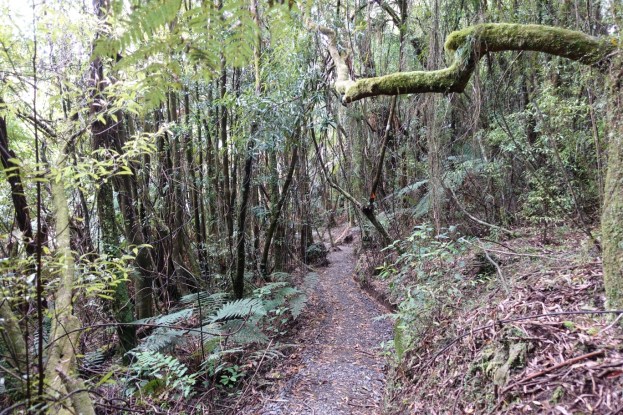
Lake Te Koutu (also shown as Lake Te Koo Utu and Lake Te Ko Utu) in the heart of Cambridge is a natural lake formed during one of the later Taupo volcanic eruptions about 1800 years ago when debris swept down the Waikato River and blocked off many small side streams. Water backup up behind the debris formed what is now Lake Te Koutu. The lake forms part of the 17.6 hectare Cambridge Domain which was established in 1880. Information about the domain and the walks is available on the Cambridge web site and the Mighty Waikato web site.
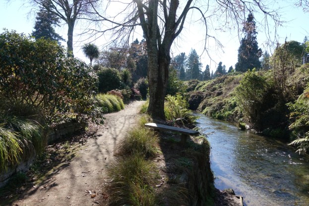
The Cambridge Domain is located on two main terrace levels, with steep slopes between the lower level which includes the lake, and the upper level where there is direct access from Victoria Street, Thornton Road, and Lake Street. The main access to the lake level is off Albert Street, with a parking area near the lake. There is an elevation difference of about 27 metres between the lake level and the upper level.