Te Otamanui Walkway in the village of Te Kowhai, north-west of Hamilton, follows alongside Te Kowhai Stream through a valley to Te Otamanui Lagoon. The first part of the walkway was opened in 2015 and later parts in 2017. Limited information about the walkway is available on various web sites, including Waikato District Council and a .pdf file at Waikato Regional Council. The walkway with plantings has been constructed by volunteer labour, principally funded by Waikato District Council and Te Kowhai community.
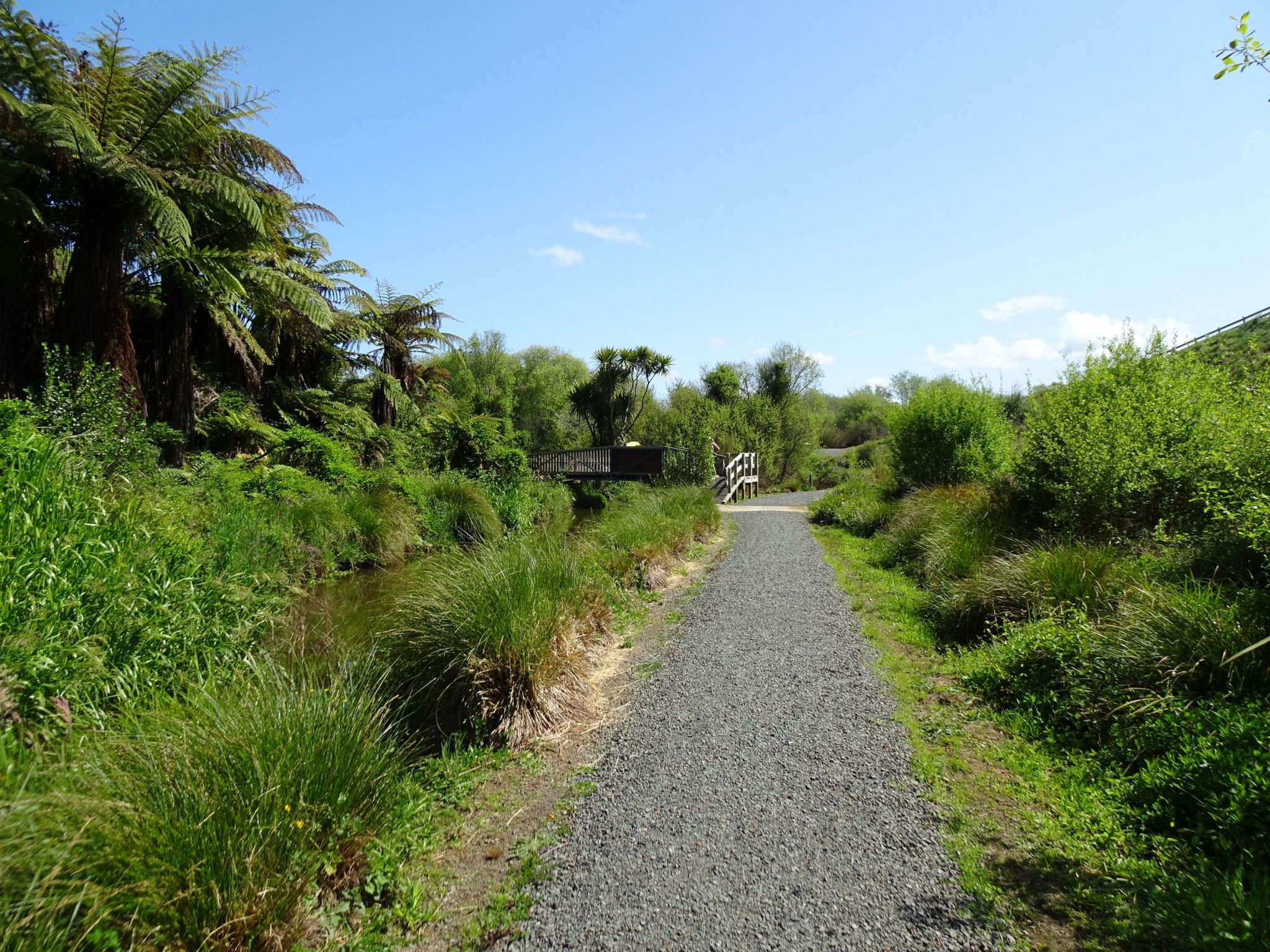
Currently the walkway is about 2.4 km long, with an additional approximately 0.5 km of side tracks leading to and from public roads. It is the intention to continue the walkway further north to the Waipa River, making it about 6 to 10 km long. The walkway has a stone chip gravel surface, with no steps, and only gentle inclines. There are boardwalks across wetter areas, and a bridge over Te Kowhai Stream on the side track to Bedford Rd. The main entrance is off Horotiu Rd by the intersection with Bedford Rd, almost directly across from Te Kowhai School carpark.
There are no public toilets in Te Kowhai, although there is a semi-public toilet at Te Kowhai Foodmarket a few hundred metres south on Horotiu Rd. A key is available for customers of the shop. There is no parking near the main walkway entrance on Horotiu Rd, although the parking area for the school across the road is probably usable on days where the school is closed. There is also a hall and tennis courts nearby where parking may be available.
Dogs are permitted on the walkway, but must be kept on a leash at all times.
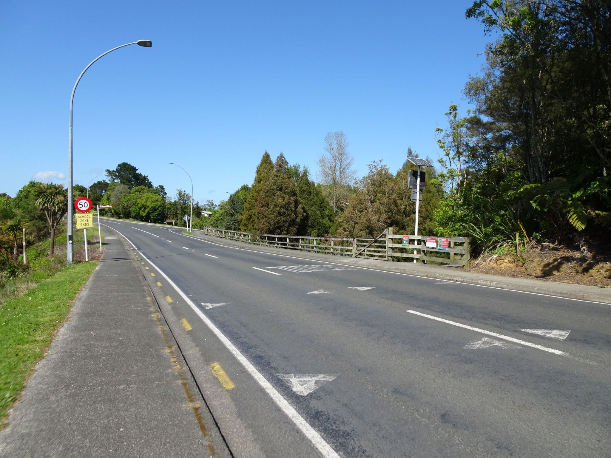
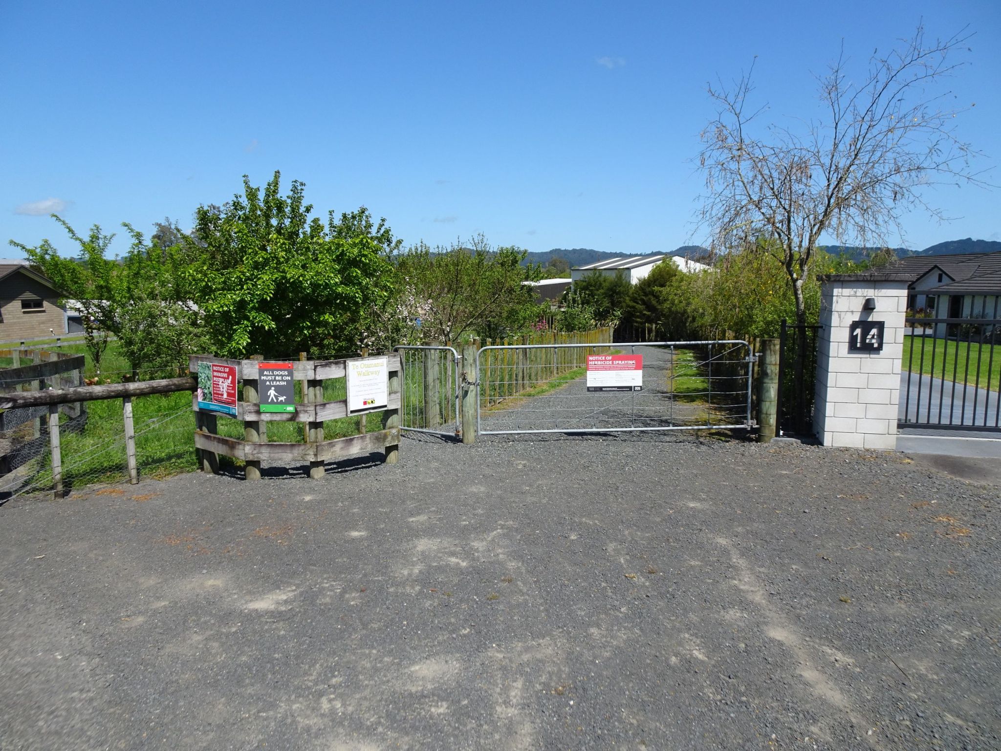
Looking south along Horotiu Rd by the exit from Te Kowhai School carpark there is a sign pointing to Te Otamanui Walkway by the 50 km/h sign, with the entrance on the right through the gateway with the signage. Bedford Rd can be seen branching off Horotiu Rd further along.
The entrance seen from the start of the walkway.
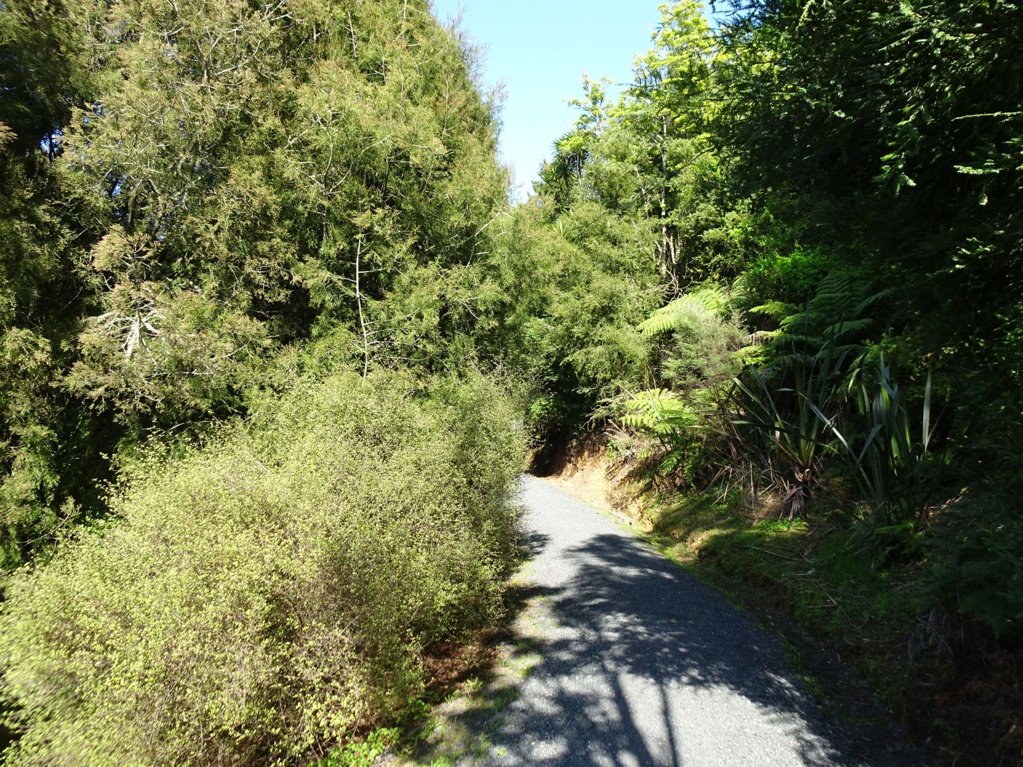
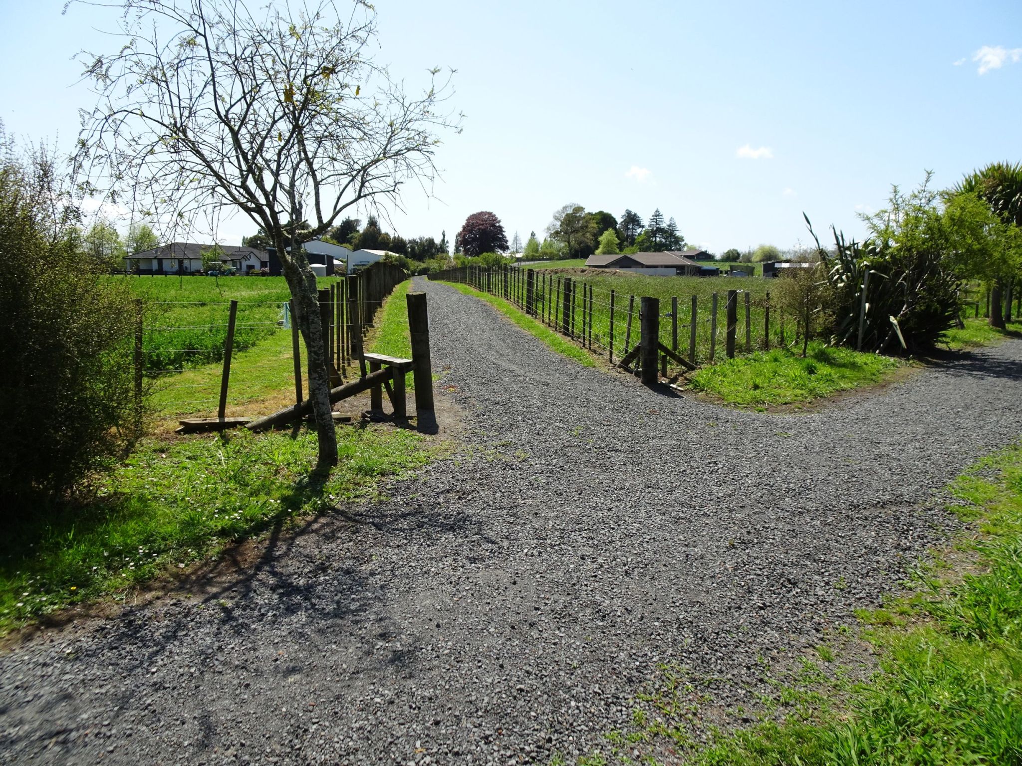
The walkway starts with a gentle downward slope to the base of the valley and Te Kowhai Stream.
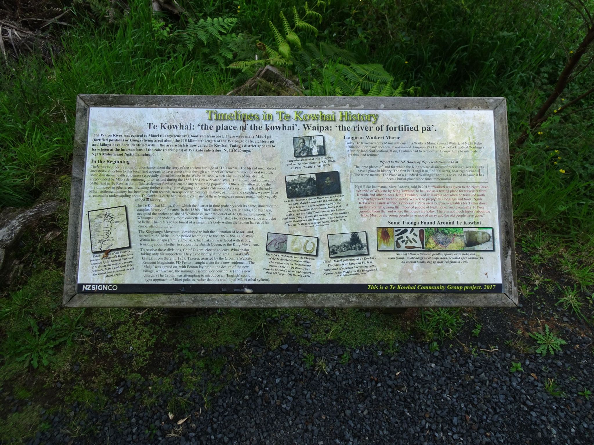
There are numerous information panels along the length of the walkway, covering topics such as the general history of the area; the early use of natural resources; the growth of Te Kowhai and Newcastle district; the tale of two Te Kowhai Villages; the dairy factories of Te Kowhai; the public halls of Te Kowhai; the schools of Te Kowhai; the church buildings of Te Kowhai; the stores and shopkeepers of Te Kowhai; the lagoon and its health; the kowhai; Te Kowhai, what’s in the name; the rivers of the Waikato and Te Otamanui lagoon; Te Otamanui – a place of abundance (local Maori translation).
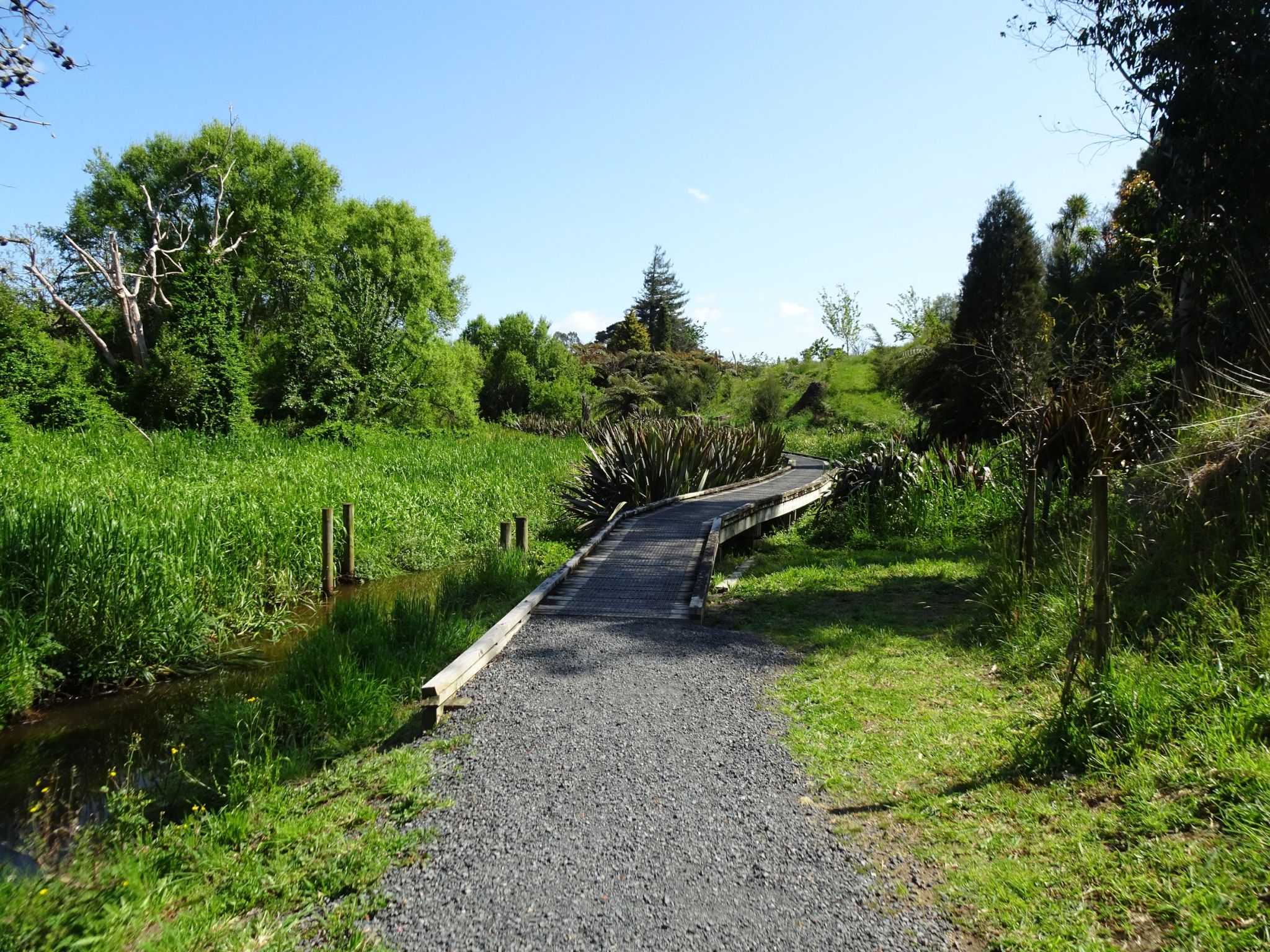
Boardwalks take the walkway across wet and swampy areas.
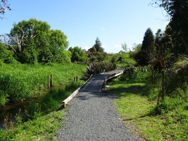
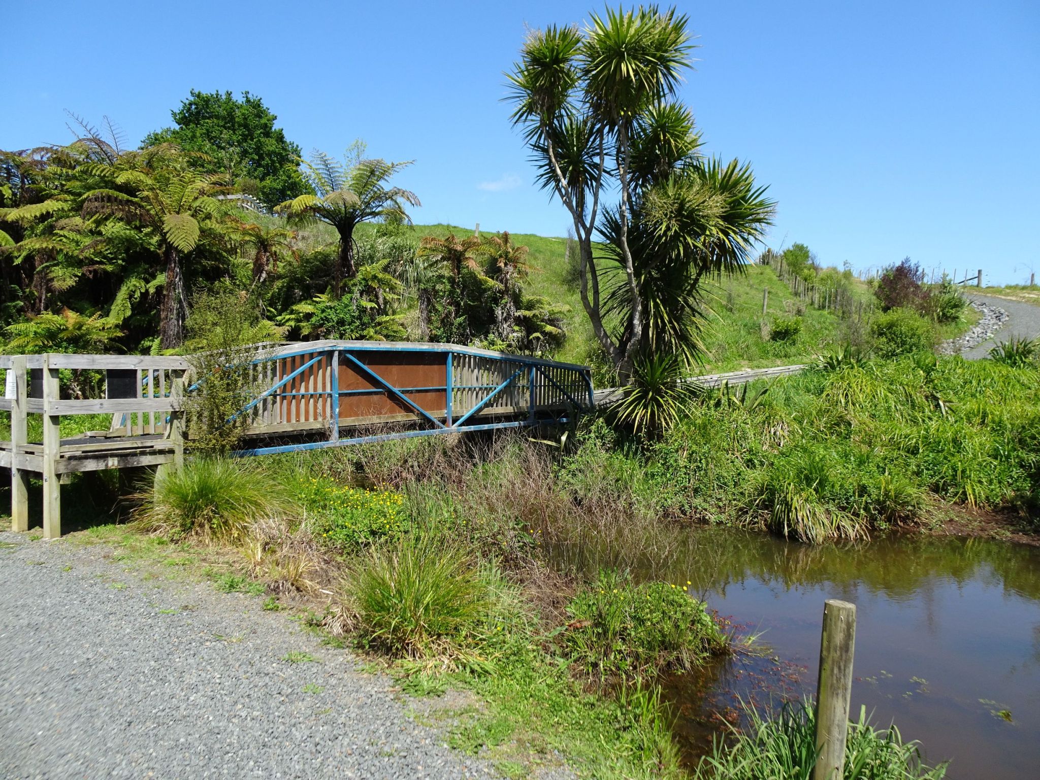
A bridge crosses over Te Kowhai Stream, with a side track leading up to Bedford Rd.
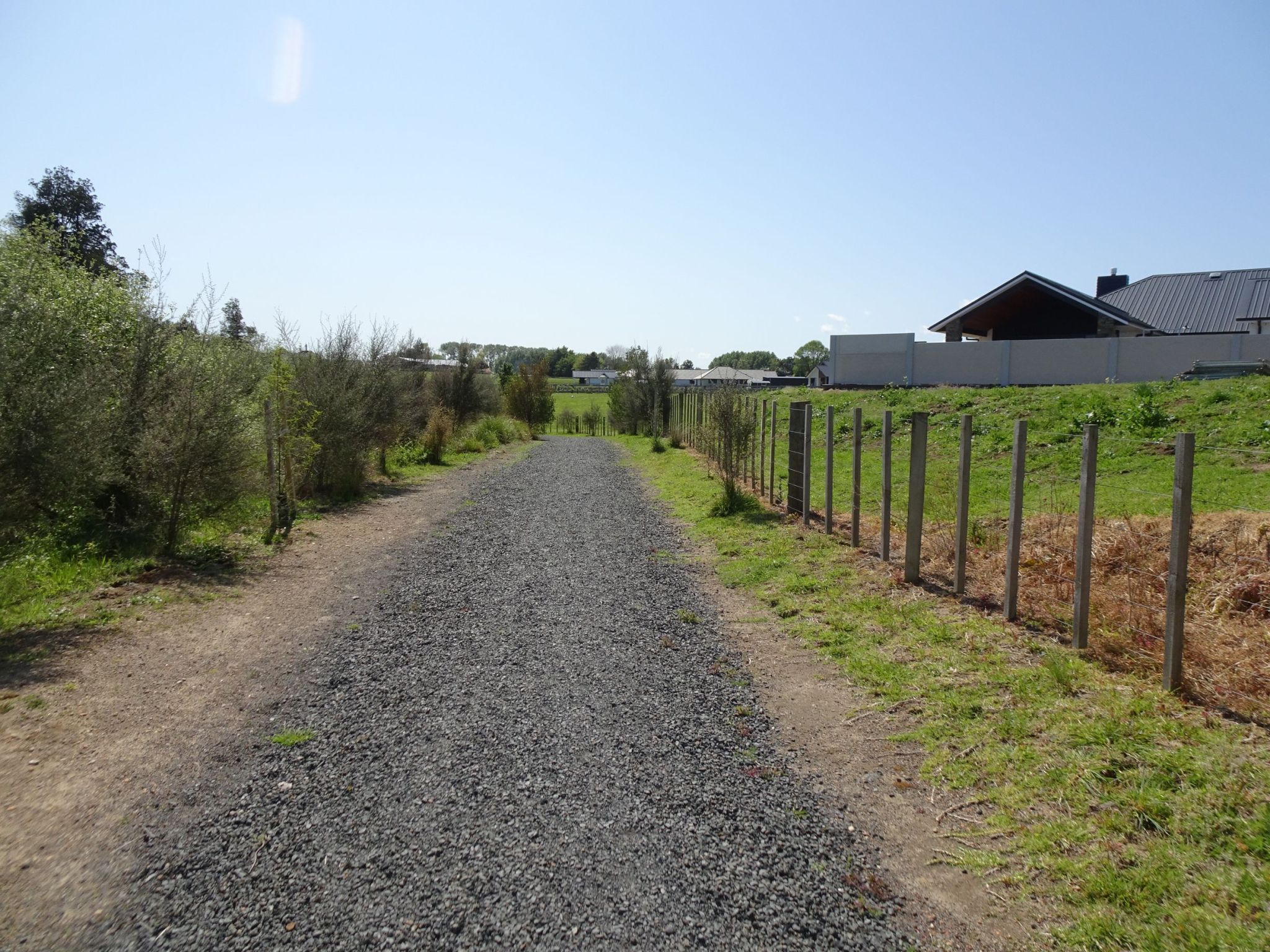
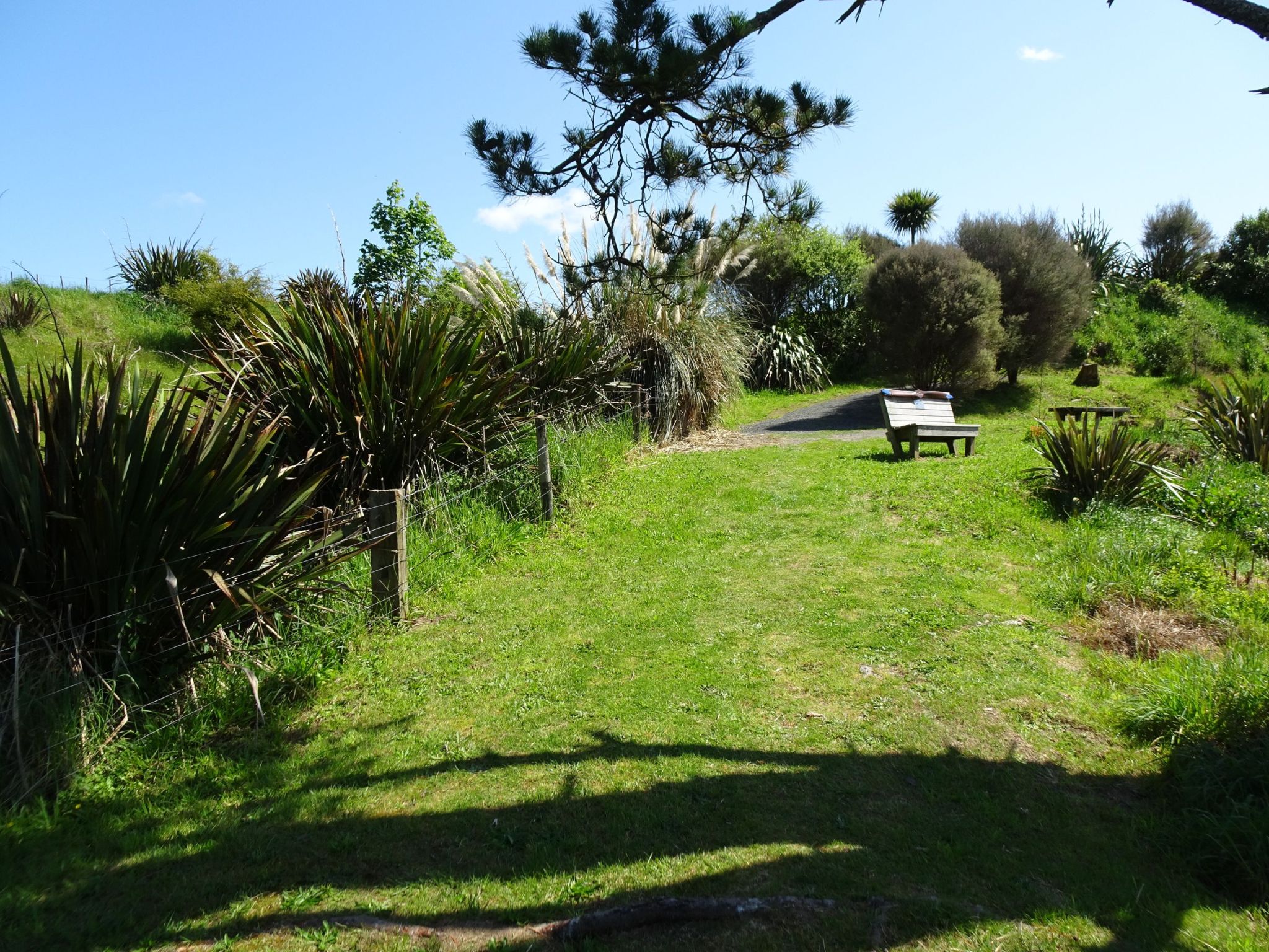
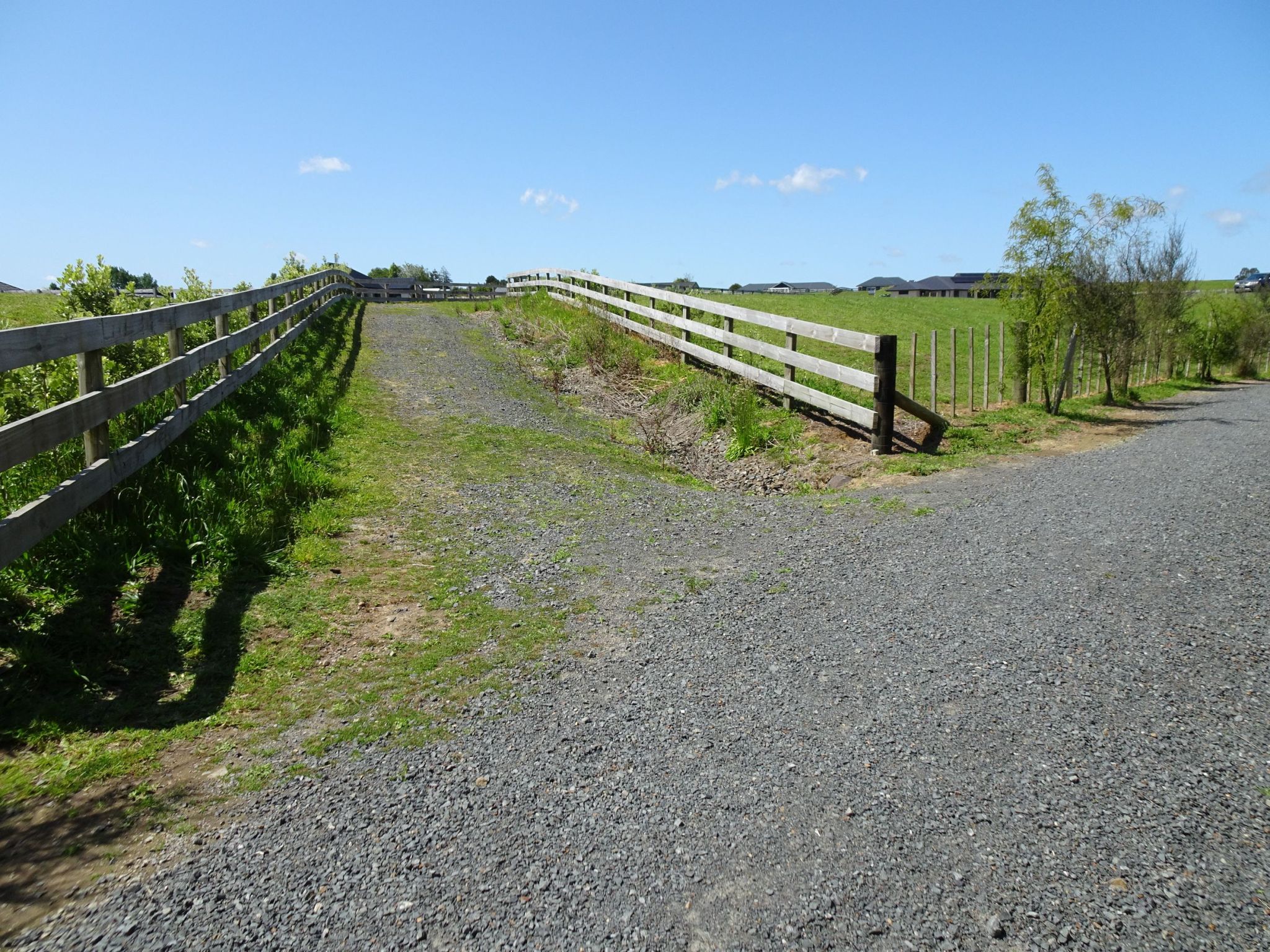
The walkway rises as it approaches the residential area around Penbeagle Rd.
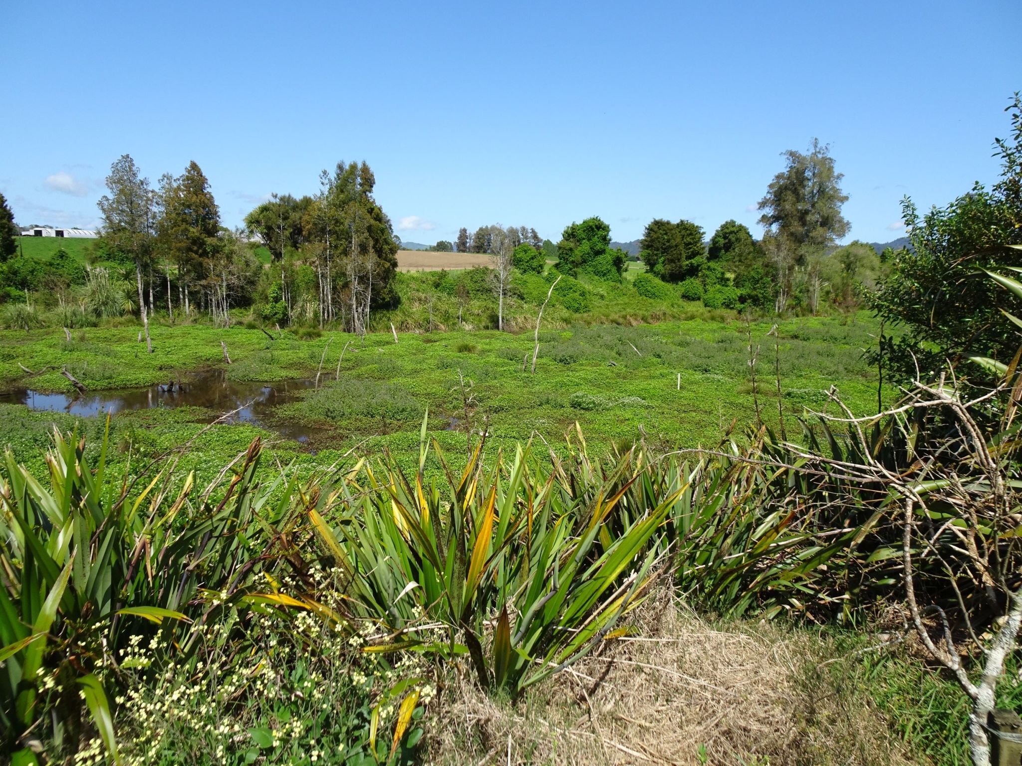
Te Otamanui Lagoon is almost completely overgrown, and no longer navigable by kayak or canoe as it once was.
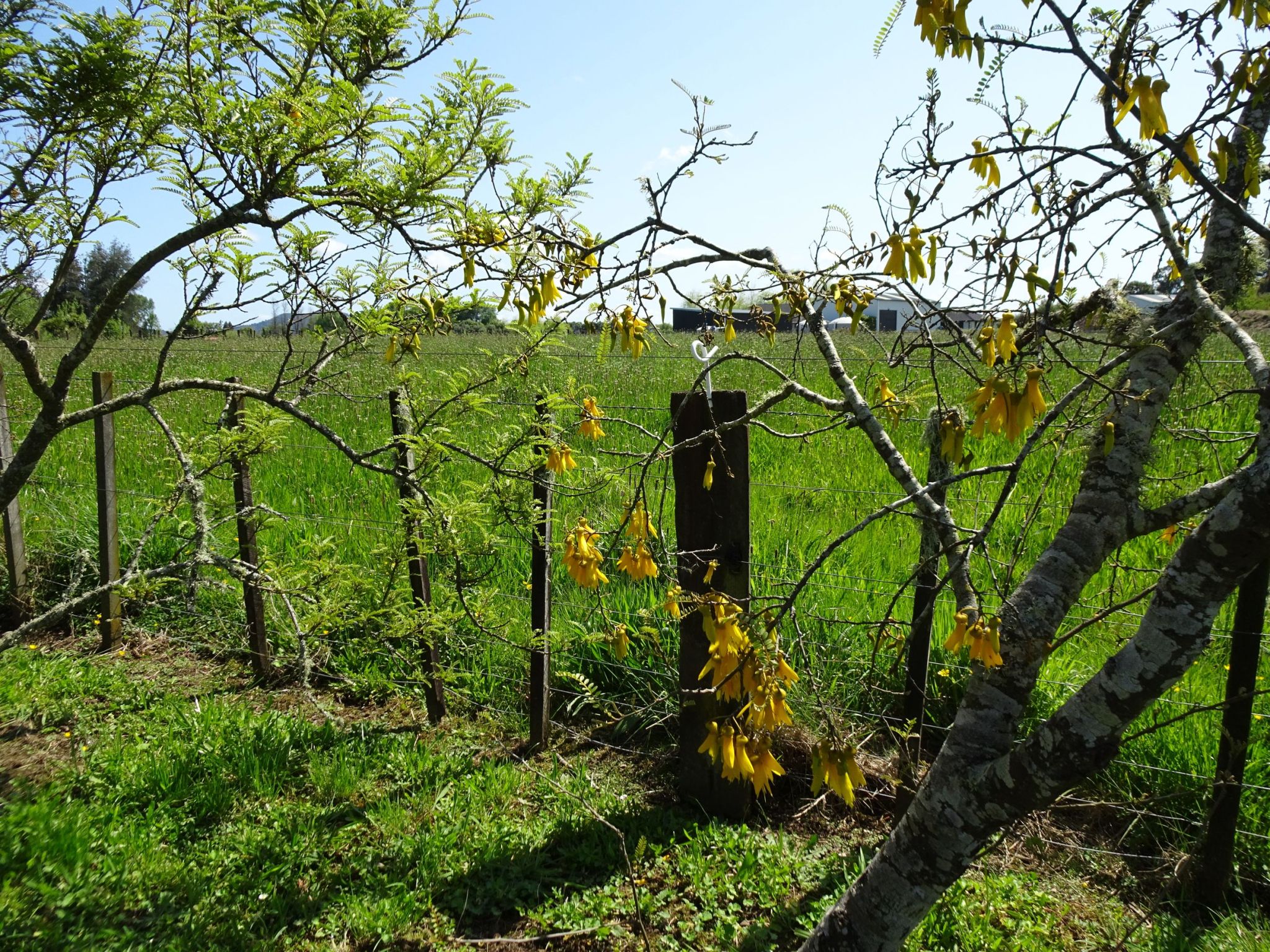
Kowhai trees and other native plants have been planted alongside a large section of the walkway. This walk was done in late October, near the end of the kowhai flowering season, with only a few flowers on some of the trees.
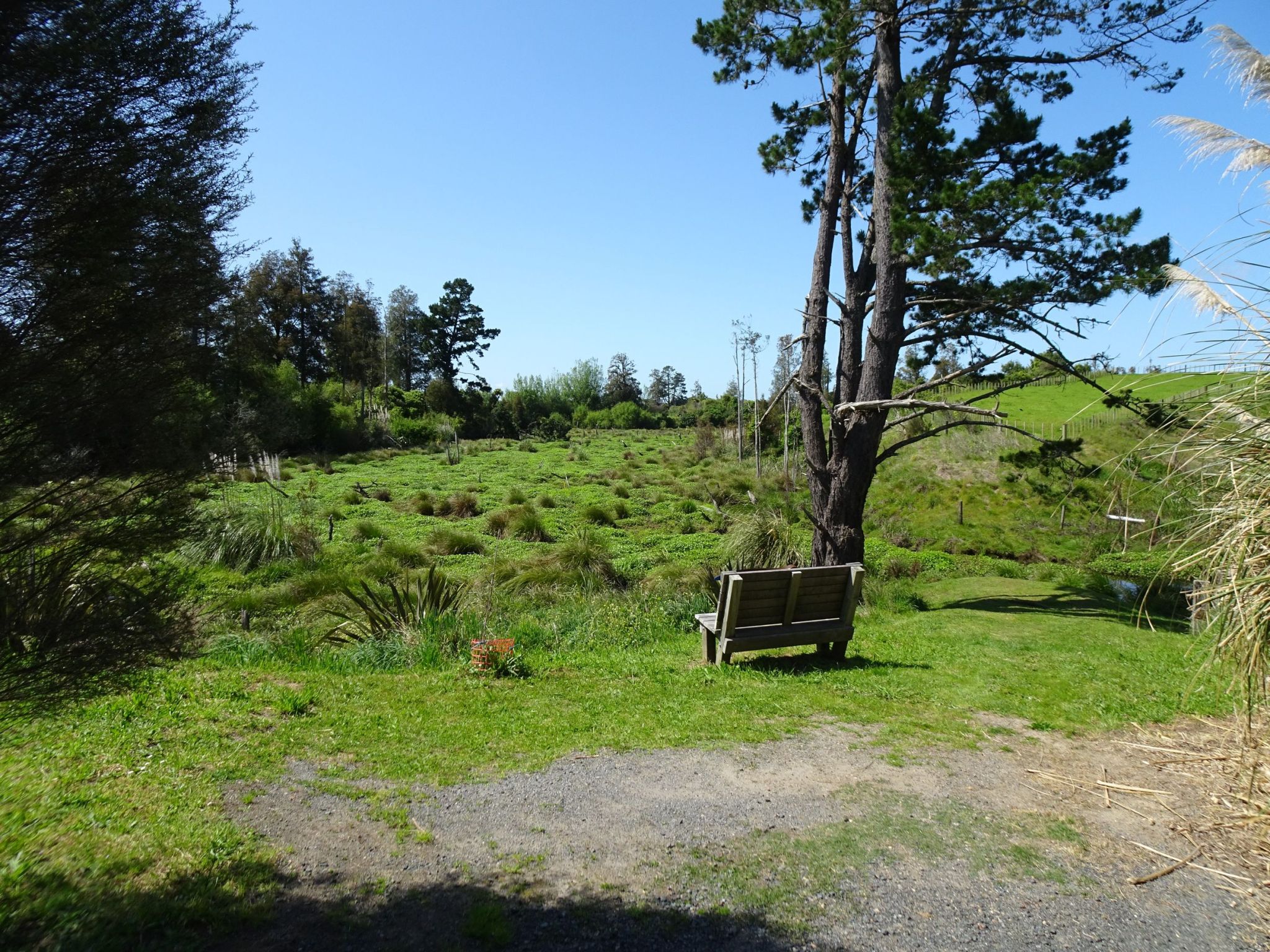
The current end of the walkway by Te Otamanui Lagoon.
Looking back to the end of the walkway, with an airscrew mounted on a seat dedicated in memory to Max Field, the founder and operator of Te Kowhai Airfield from 1964 to 2011.
The three side tracks to public roads were walked on the return to Horotiu Road. Here the branch to Coombes Rd.
The entrance to Te Otamanui Walkway on Coombes Rd. The large steel gate is locked, so entry is through the small steel gate.
The track between two wooden fences leading to Penbeagle Rd.
The entrance to Te Otamanui Walkway on Penbeagle Rd, through the narrow gate next to the locked steel gate at the centre of the picture.
The bridge across Te Kowhai Stream and the track to Bedford Rd. The track rises up from the valley floor at the far upper right of the picture.
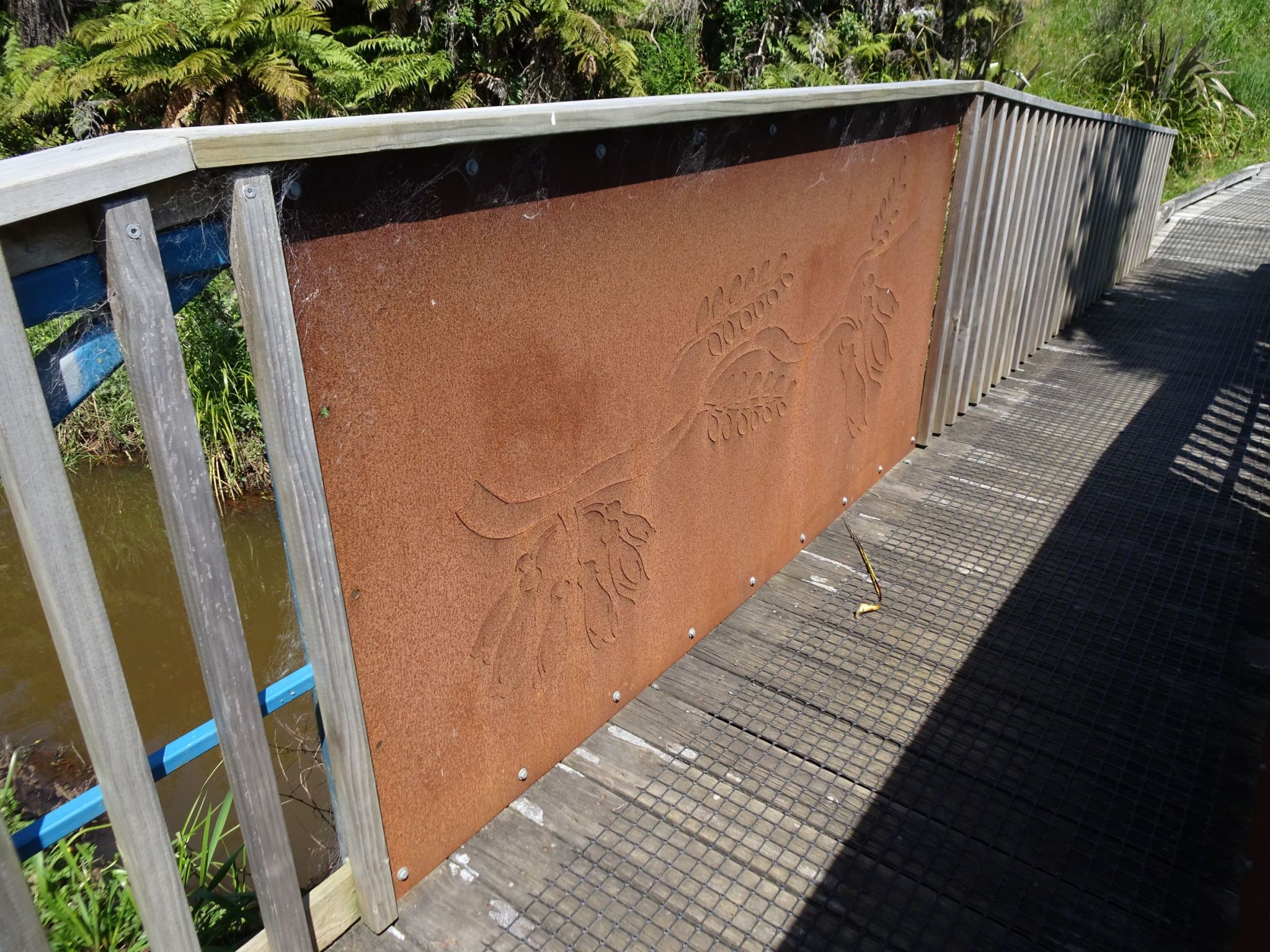
The steel panels on the bridge span even have kowhai depicted on them.
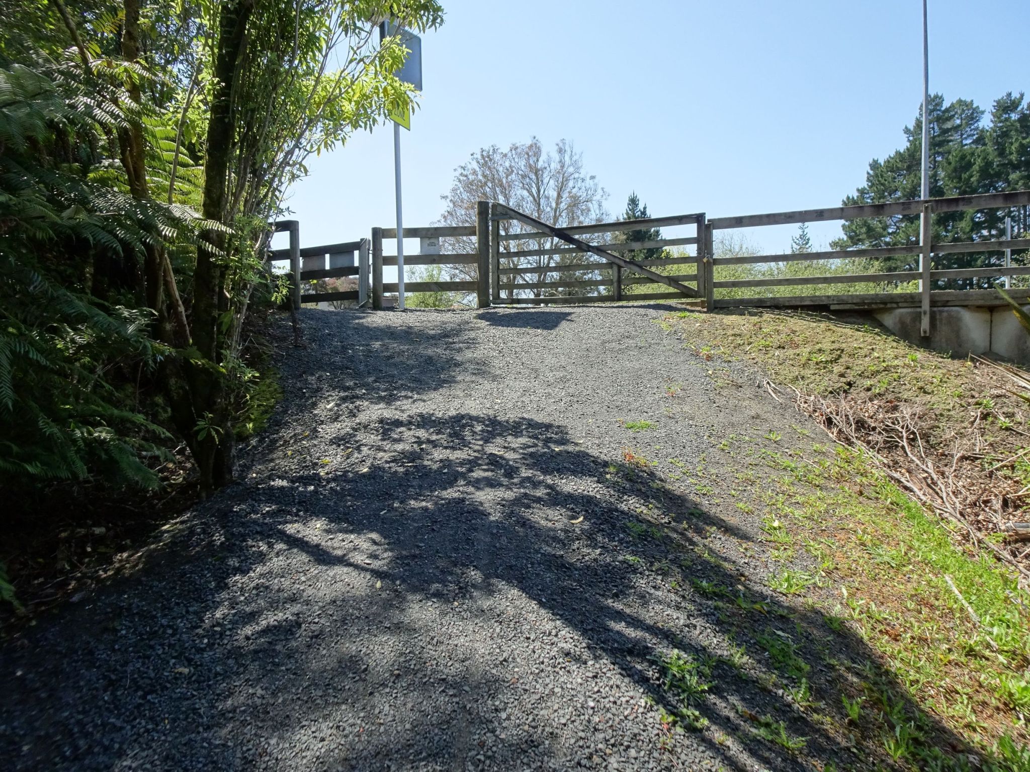
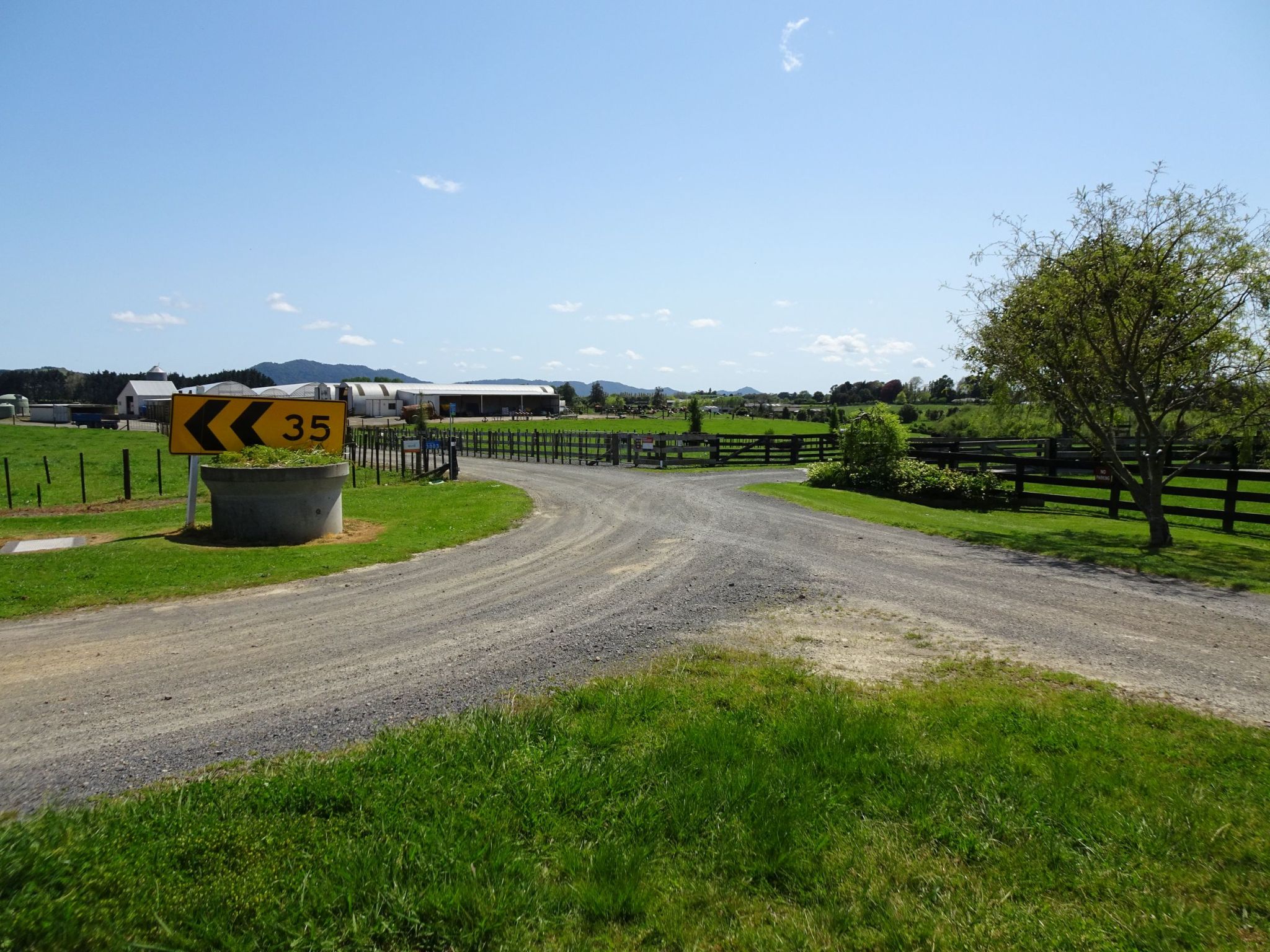
The walkway entrance on Bedford Rd is by a 90-degree bend in the road. The entry is through a narrow steel gate at the centre of the picture, and running alongside a private driveway before a right angle turn in front of the farm buildings, leading down to Te Kowhai Stream bridge and Te Otamanui Walkway.
The GPS tracklog shows the route followed, with the walkway without side tracks followed in the south to north direction, and walking all the side tracks in both directions on the return from northern end to southern end at Horotiu Rd. The walkway itself on the outward leg showed a length of 2.4 km, and including the side tracks on the return leg showed 3.5 km. So the total length of the three side tracks would be about 0.5 km. The walking time was about 40 minutes to the northern end of the track, including time for taking numerous photos, and 50 minutes including side tracks on the return to Horotiu Rd.
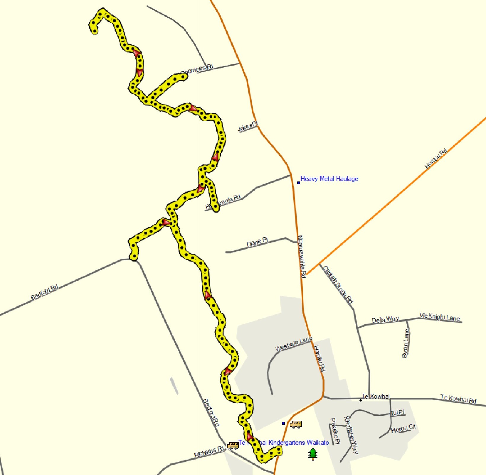
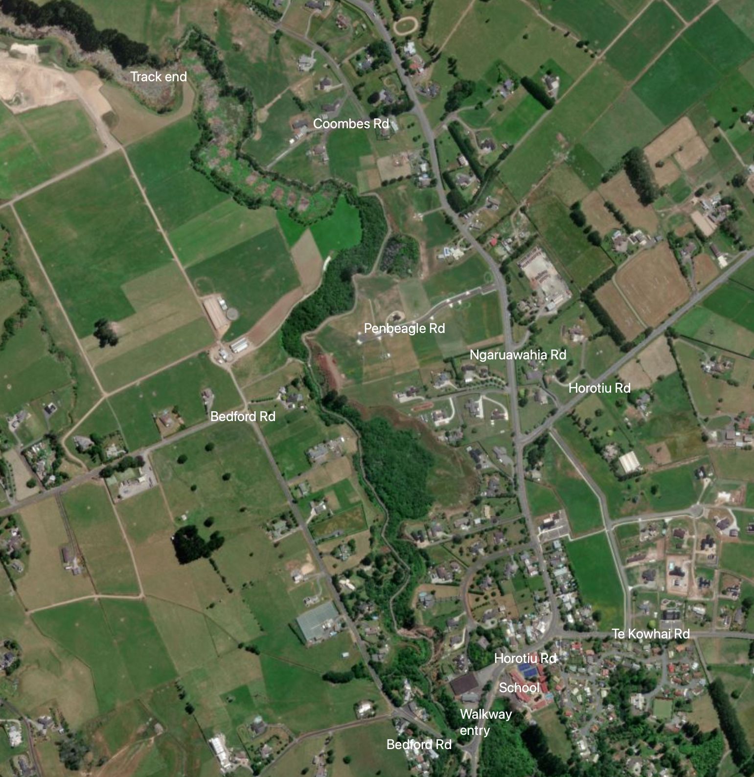
The aerial photo, taken from Bing maps, shows the same area as the GPS tracklog. Most of the walkway is visible in the picture.
The walk was done on October 23, 2022.

Hi, the information contained in your walks I’ve found very informative, thanks very much for sharing.
LikeLike
Thank you for the comments. Much appreciated.
LikeLike