Tag Archives: Ngaruawahia

Lake Kainui, Horsham Downs

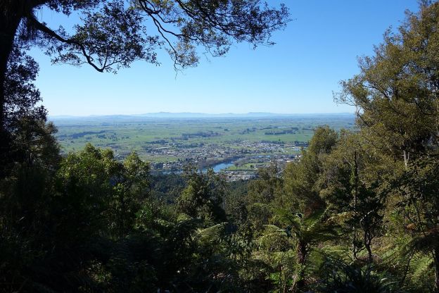
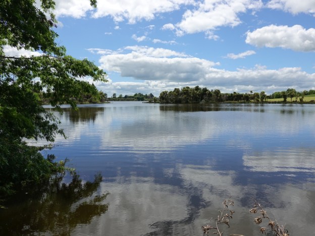
Lake Kainui is a peat lake of about 25 hectares in the Horsham Downs area of Waikato, east of Ngaruawahia and north of Hamilton. It is one of a series of lakes in the area, and is also known as Lake D or Lake Rotoaira. Lakes A, B and C are nearby. A walkway around the lake was opened in 2018, and public access to the lake itself and Lake Kainui Reserve was arranged by the Waikato District Council. A short access road off Lake Road leads to a parking area and the reserve. There is also a boat ramp and a toilet.

Various activities are permitted in the reserve and on the lake, but some activities require a permit and access to the boat ramp requires a key. The reserve may be closed to the public in May, during the duck shooting season. The walkway around the perimeter of the lake is about 3.1 km long, mostly well formed with a gravel surface, although there are also areas of grass. There are no steps and only the gentlest of gradients, with an elevation difference of only a metre or two along the entire track.

Continue reading

Taupiri Mountain Summit

Taupiri Mountain (Taupiri Maunga), at the southern end of the Taupiri Range, is located adjacent to State Highway 1 between Huntly and Ngaruawahia. Taupiri Mountain is sacred to the Waikato people and its lower flanks are used as burial grounds. Amongst others Maori royalty are buried there. A loop track leads to the summit from an access road near Mangawara Stream.

The loop track was reopened in 1995 after work on the track was done by local residents and members of Taupiri Young Farmers Club. The summit of Taupiri Mountain has a trig station at an elevation of 288 metres.

Continue reading

Hakarimata Summit Track

The Hakarimata Summit Track is one of the busiest tracks that I have walked. There was a constant stream of walkers, runners, and trampers going up and down the track. It was a fine and clear Sunday, which probably added to the popularity.

The track consists mainly of steps, 1349 steps in all. The summit is at 374m, with a climb of 335m to the viewing tower at the summit. The climb took almost 90 minutes, the return downhill took just over 30 minutes.

On a clear day, like today, you can see Mt Ruapehu south of Lake Taupo, a total distance of 182km away. Continue reading