Tag Archives: Maungakawa

Hapuakohe Walkway – Ohinewai Rd to Maungakawa Trig

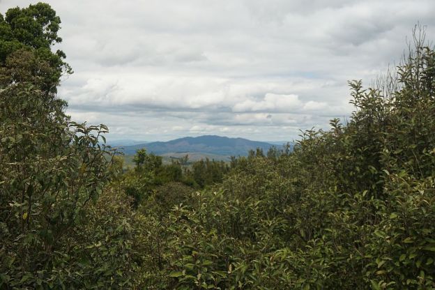
Hapuakohe Walkway in the Waikato consists of two parts. The northern part connects North Road (off SH27) and Ohinewai Road (also off SH27) along Hapuakohe Range. The southern part connects Ohinewai Road and Mangapiko Valley Road, passing by Maungakawa trig station on the way. The northern part is signposted as an 8-hour walk, with the southern a 6-hour walk. Information about the track can be found on the DoC web site. The walkway is west of SH27, about 50 km north-east of Hamilton and 65 km south-east of Auckland.

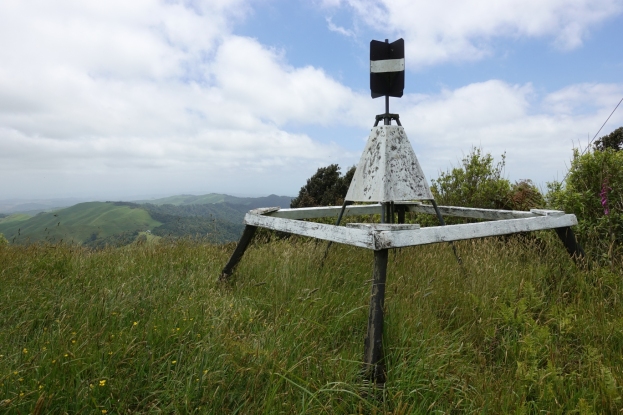
This post describes only the portion of the southern part of the walkway between Ohinewai Road and Maungakawa Trig.

Continue reading

Te Tapui Loop Track – Maungakawa

The Te Tapui Scenic Reserve includes the two peaks of Te Tapui at 492m and Maungakawa at 495m. The Te Tapui Loop Track to the summit of Maungakawa starts at Piakonui Rd, west of Matamata, northeast of Cambridge and southeast of Morrinsville. It can be walked in a clockwise or anticlockwise direction, although the DoC description recommends the anticlockwise direction.

However, the times and distances on the DoC site do not entirely agree with my experience. The distance is close to 6.5km measured by GPS instead of 4km, and the time of 3 hours should be ample even with a long break at the summit.

Continue reading