Tag Archives: Mt Karangahake

County Rd to Mt Karangahake Summit

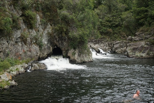
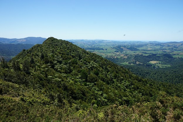
There are several tracks leading to the summit of Mt Karangahake, a prominent peak visible from SH2 between Paeroa and Waihi. The post Mt Karangahake summit describes the most often used tracks, the Mountain Track and the unmarked and unnamed direct track which branches off the Mountain Track.

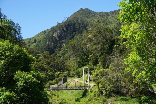
This walk was done on the County Rd track, part of which is also known as the Number 7 Level Track, with the Mountain Link Track joining County Rd to the Mountain Track and the summit. This route is somewhat longer than the other two tracks, but most of County Rd has an easy gradient and is a good, well-formed track. The Mountain Link Track is narrower and steeper, but not very long. The return from the summit was via the unmarked direct track and the Mountain Track.

Continue reading

Dickey Flat to Karangahake loop

The Dickey Flat campsite, administered by DoC, is located on the banks of the Waitawheta River in the Karangahake Gorge and the Kaimai Mamaku Forest Park. Located at the end of Dickey Flat Rd, off Kennedy Rd and Waitawheta Rd, it is a popular campsite in the summer, with swimming holes and trout fishing spots easily accessible.

Two walking tracks, which can be walked as a loop walk, connect Dickey Flat and Karangahake. The south-western track passes through regenerating native bush, with the north-eastern track following the Waitawheta River and the historic Waitawheta pipeline. The total loop has a length of just over 10km. It can be walked in either clockwise or anti-clockwise direction, and starting at either Dickey Flat campsite, or by SH2 at Karangahake.

Continue reading

Mt Karangahake summit

Mt Karangahake towers above the western end of Karangahake Gorge, between Waihi and Paeroa. It is clearly visible from SH2, the main road through the gorge. The most prominent peak has a trig station on top, with an official elevation of 544m above sea level. The highest point is a few metres higher, but not easily accessible. However, a nearby peak with a communication mast on top is accessible, and is slightly higher than the trig station.

There are 3 tracks leading to the summit, all of which are accessible from the main carpark on SH2, or from the nearby carpark on County Rd, or from Crown Hill Rd where there is a small parking area near a locked gate. There are toilet facilities both at the main carpark, and by the County Rd carpark. County Rd is accessible from SH2 across a one-lane, two-level bridge, originally used for both rail and road, with the railway above the roadway.

Continue reading