The National Wetland Trust is a nonprofit organisation established in 1999 to increase the appreciation of wetlands and their values by all New Zealanders. On their Wetland Trails page there are links to download information sheets on wetland trails in Southland, Whangamarino, and Bay of Plenty. Some of the locations in the Bay of Plenty information sheet have already been covered on this site. This post covers the Awakaponga Wildlife Management Reserve and Matata Lagoon walks.
Awakaponga Wildlife Management Reserve
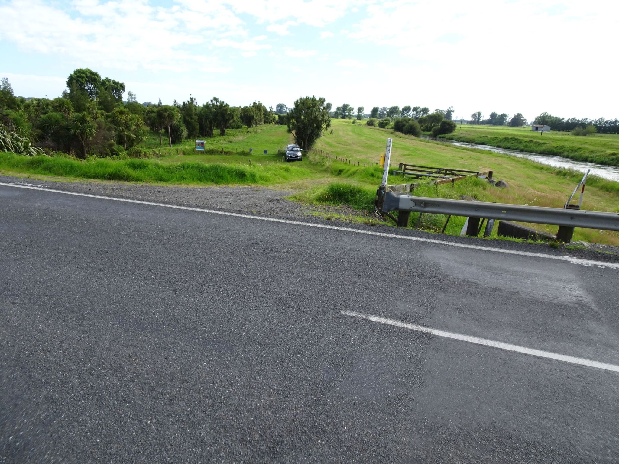
The Awakaponga Wildlife Management Reserve is an 8.1 hectare reserve and is one of the few remaining natural areas representing the once extensive Rangitaiki Plains wetlands. The area is adjacent to the Tarawera River and is accessible directly from Matata Road/SH2 by the western end of the Tarawera River bridge. There is a parking area down a short sloping access track, but this is low-lying and can be wet at times. It may also be possible to park on the opposite side of SH2. There are no toilet or other facilities at the site.
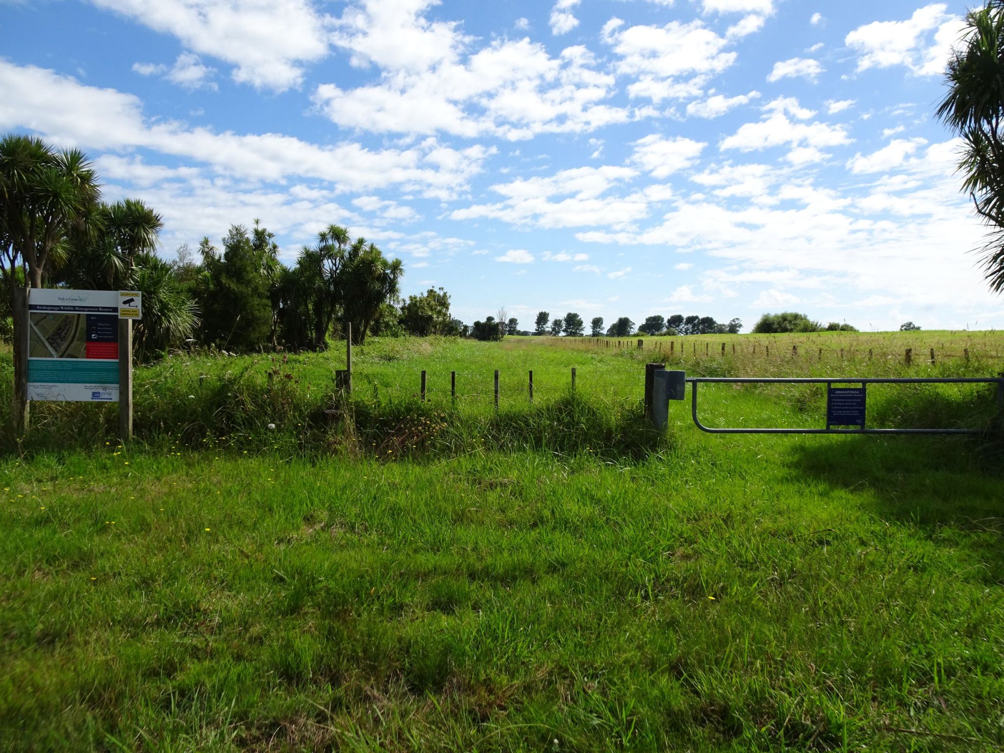
There is a short loop track about 1.2 km long in the reserve, but since the reserve is maintained by volunteers the grass and vegetation on the track may not be cut regularly. This walk only covered part of the track since the access to the remainder was not clearly visible.
The entry to the parking area and the reserve seen from the western end of the Tarawera River bridge on Matata Road/SH2. The Tarawera River can be seen on the right.
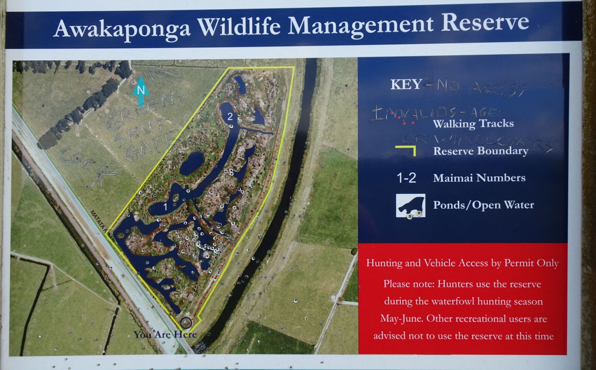
An information panel by the parking area shows the extent of the reserve and the location of the loop track. The part of the loop branching off from the eastern boundary track was not clearly visible so only a short part of the southern end of the loop itself was walked.
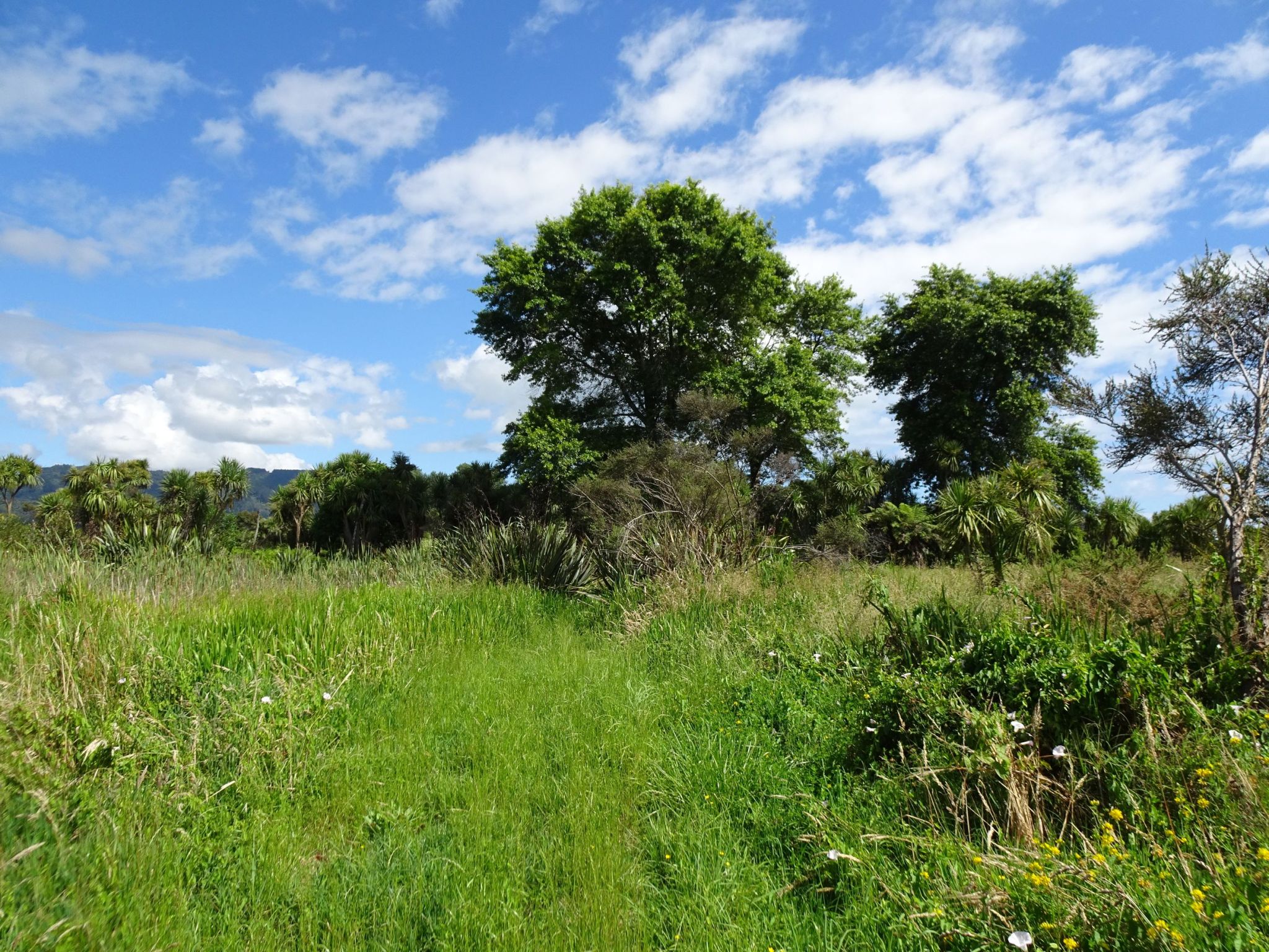
A view down the eastern boundary of the reserve, seen from the parking area. The Tarawera River is behind the stopbank seen on the right. The grass covering the walking track was long and wet.
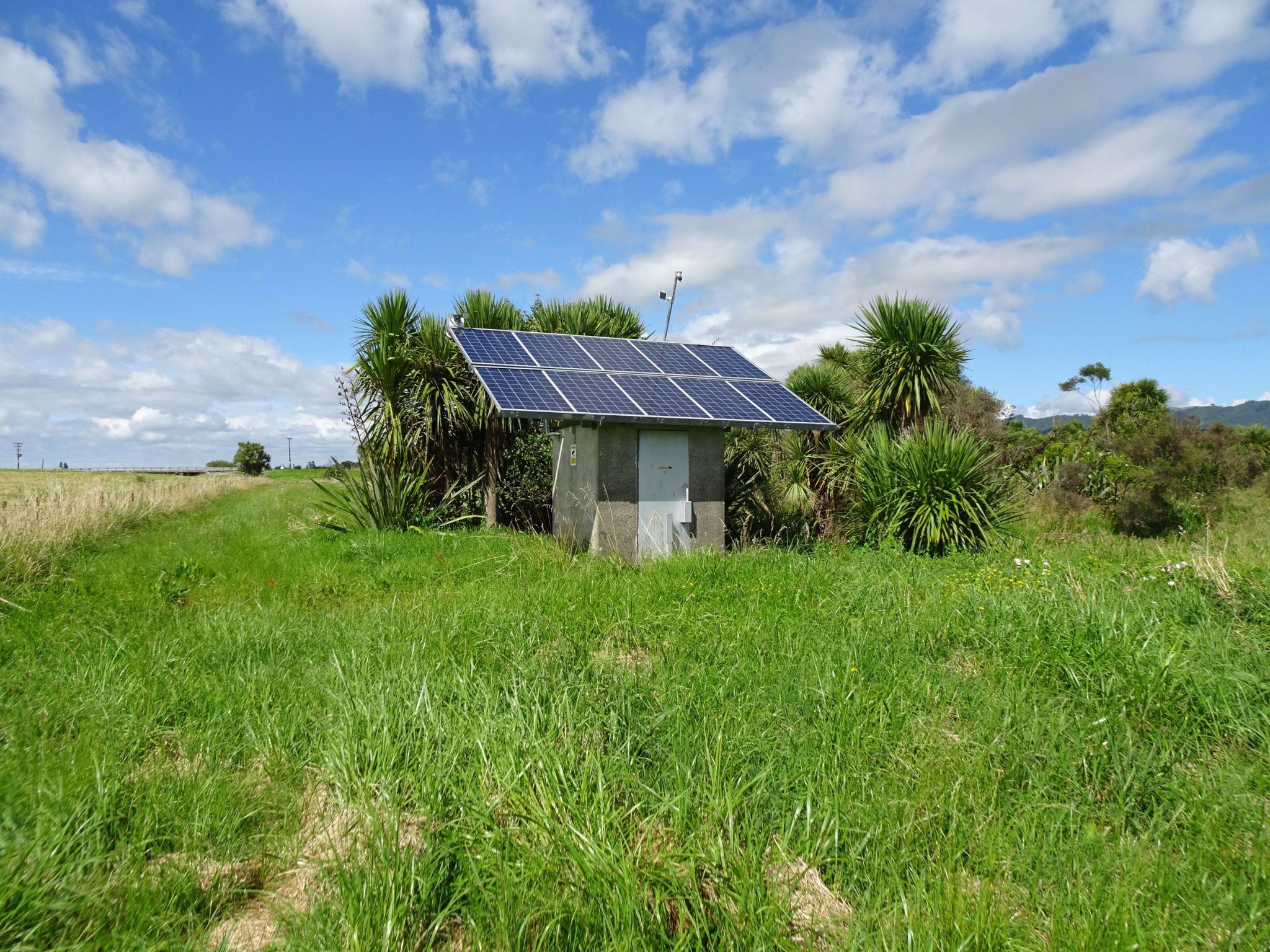
A solar powered pump station by the eastern boundary, and looking back towards the car parking area. One end of the loop track branches off to the right just behind the vegetation seen behind the pump station.
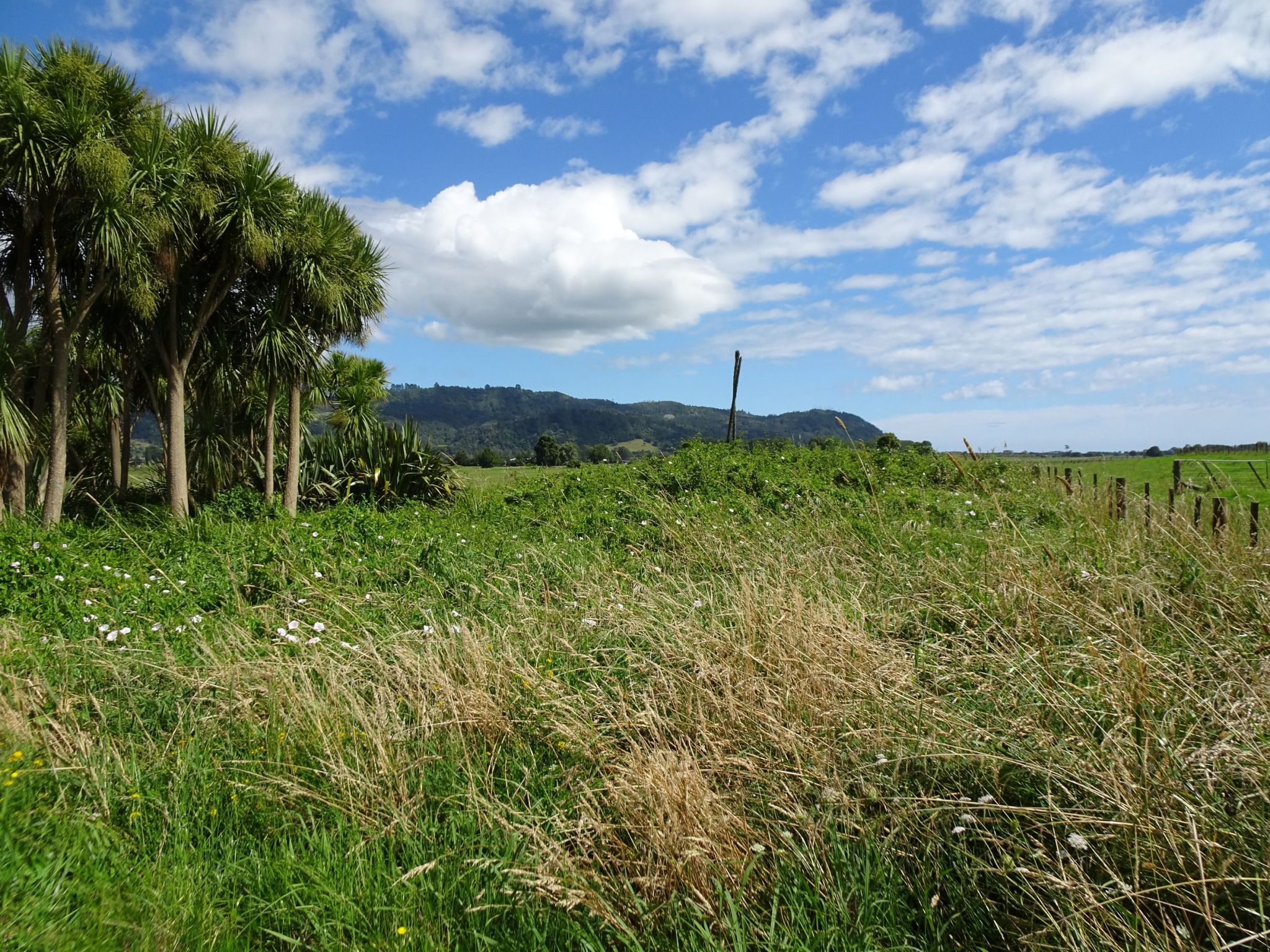
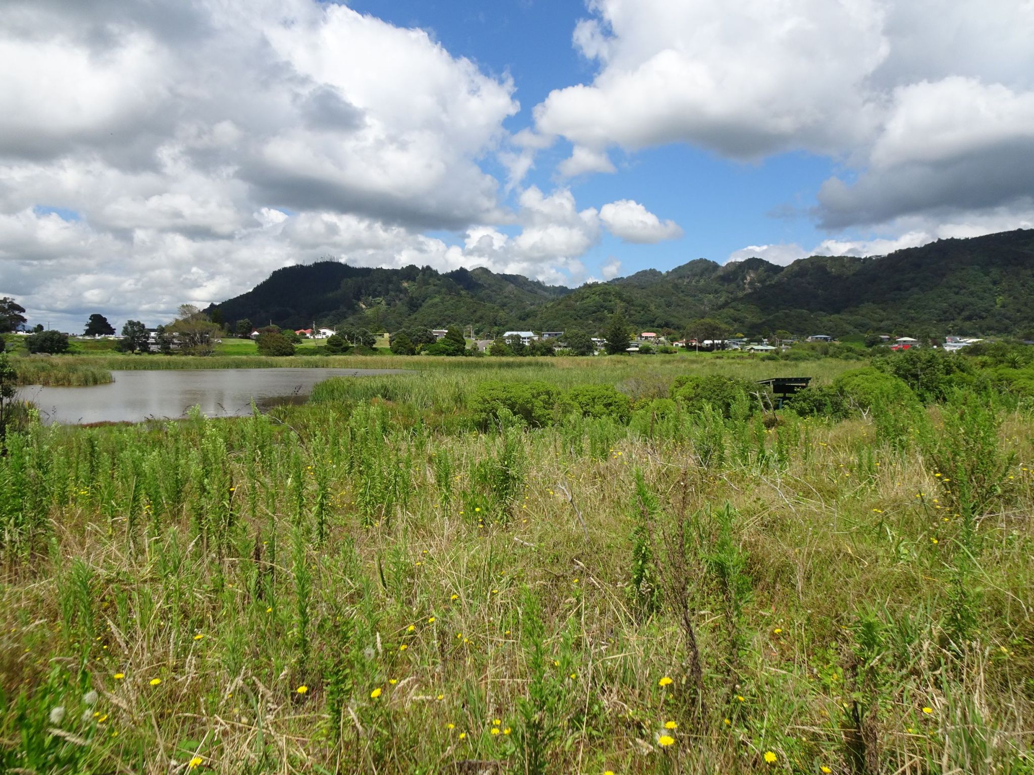
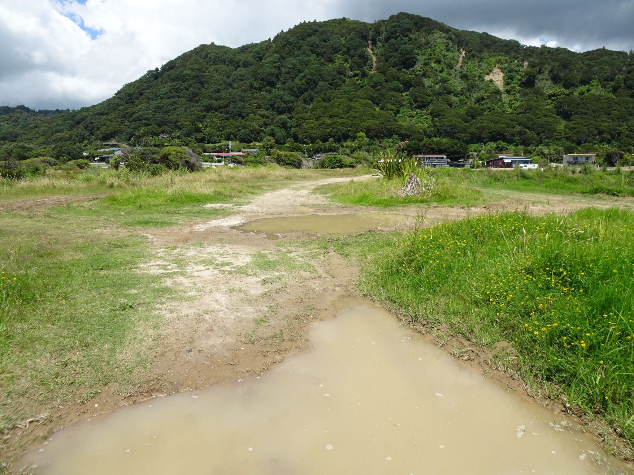
The northern end of the reserve, looking towards Matata.
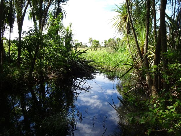
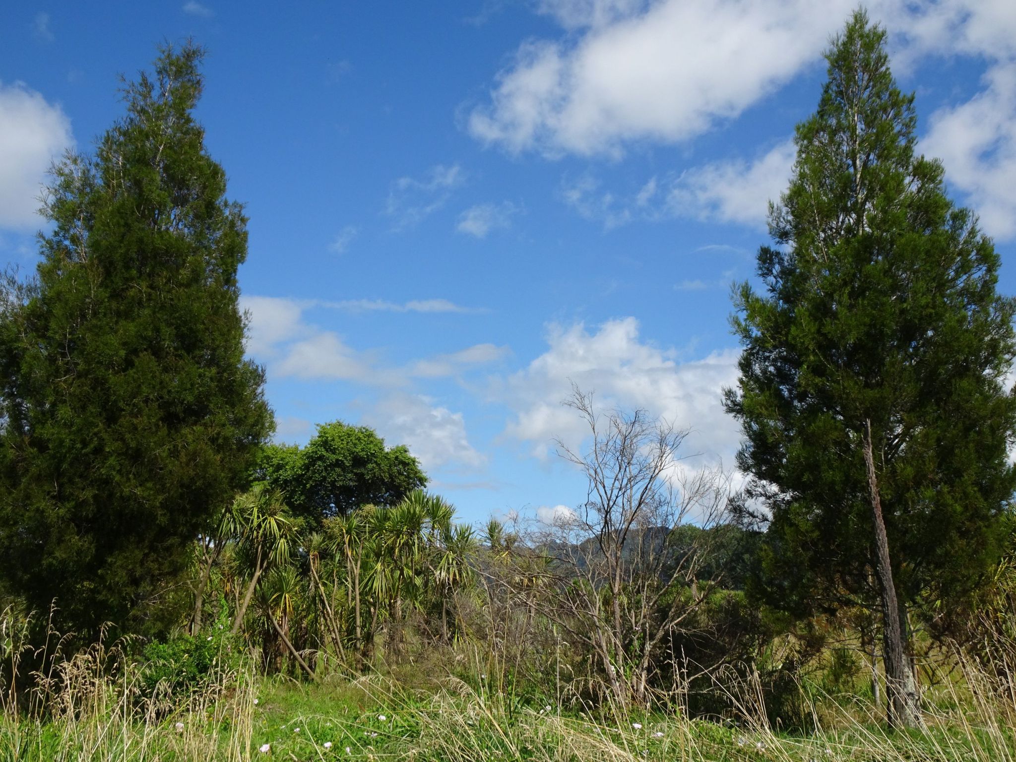
There are several kahikatea trees amongst all the ti kouka (cabbage trees). Many other native tree species have been planted in the reserve.
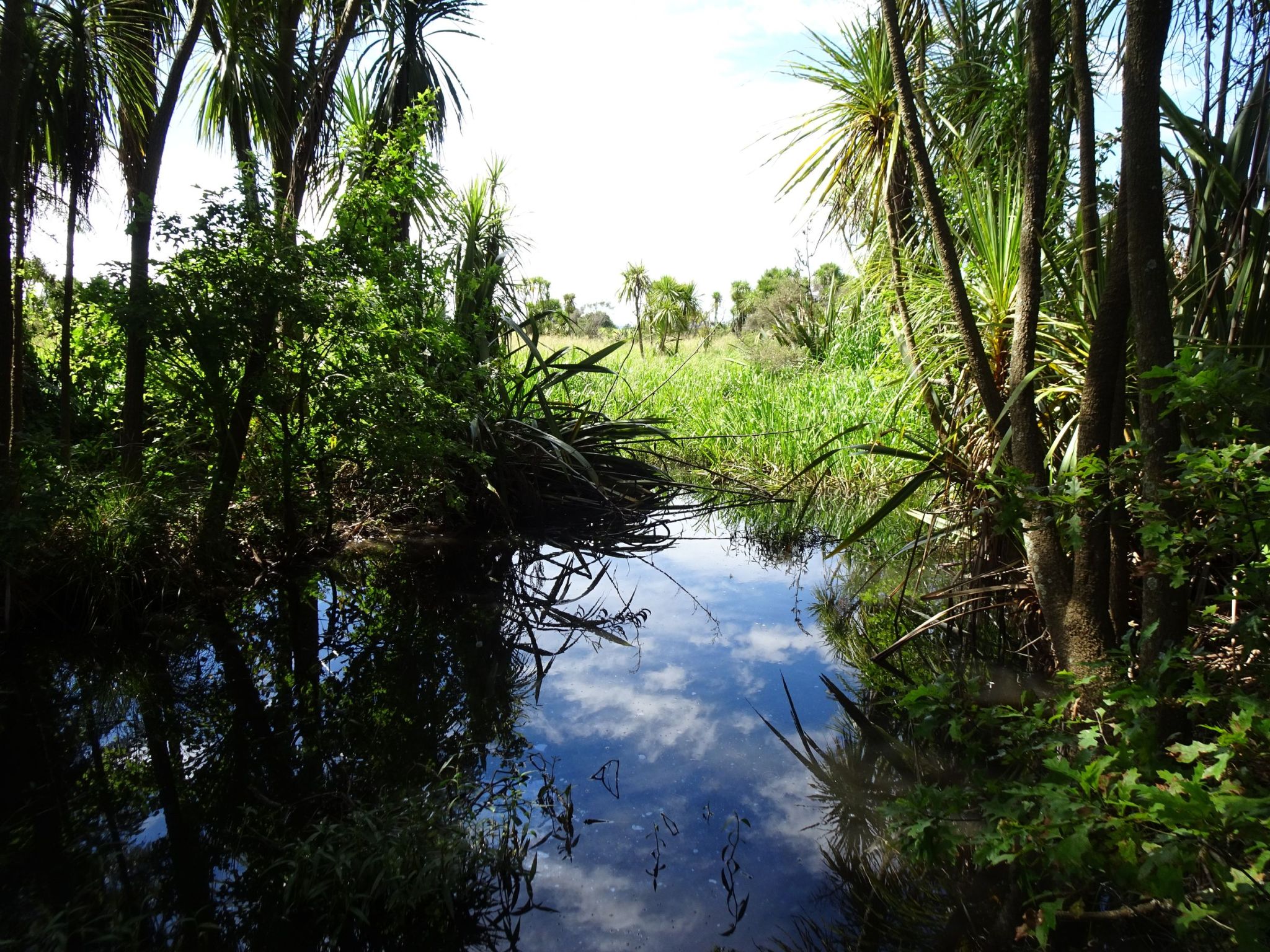
The start of the southern end of the loop, just behind the pump station. The other end of the loop was not visible on the day.
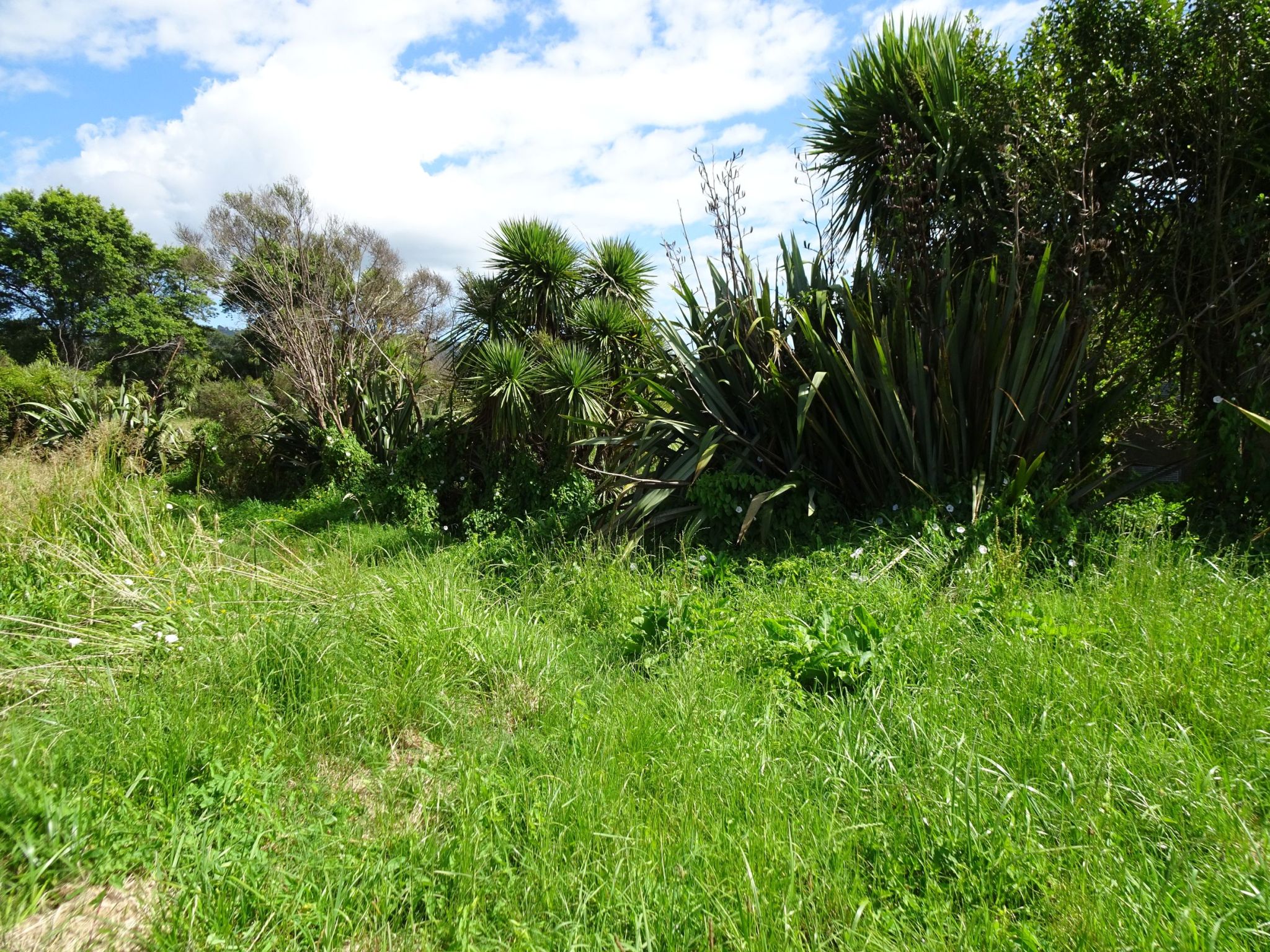
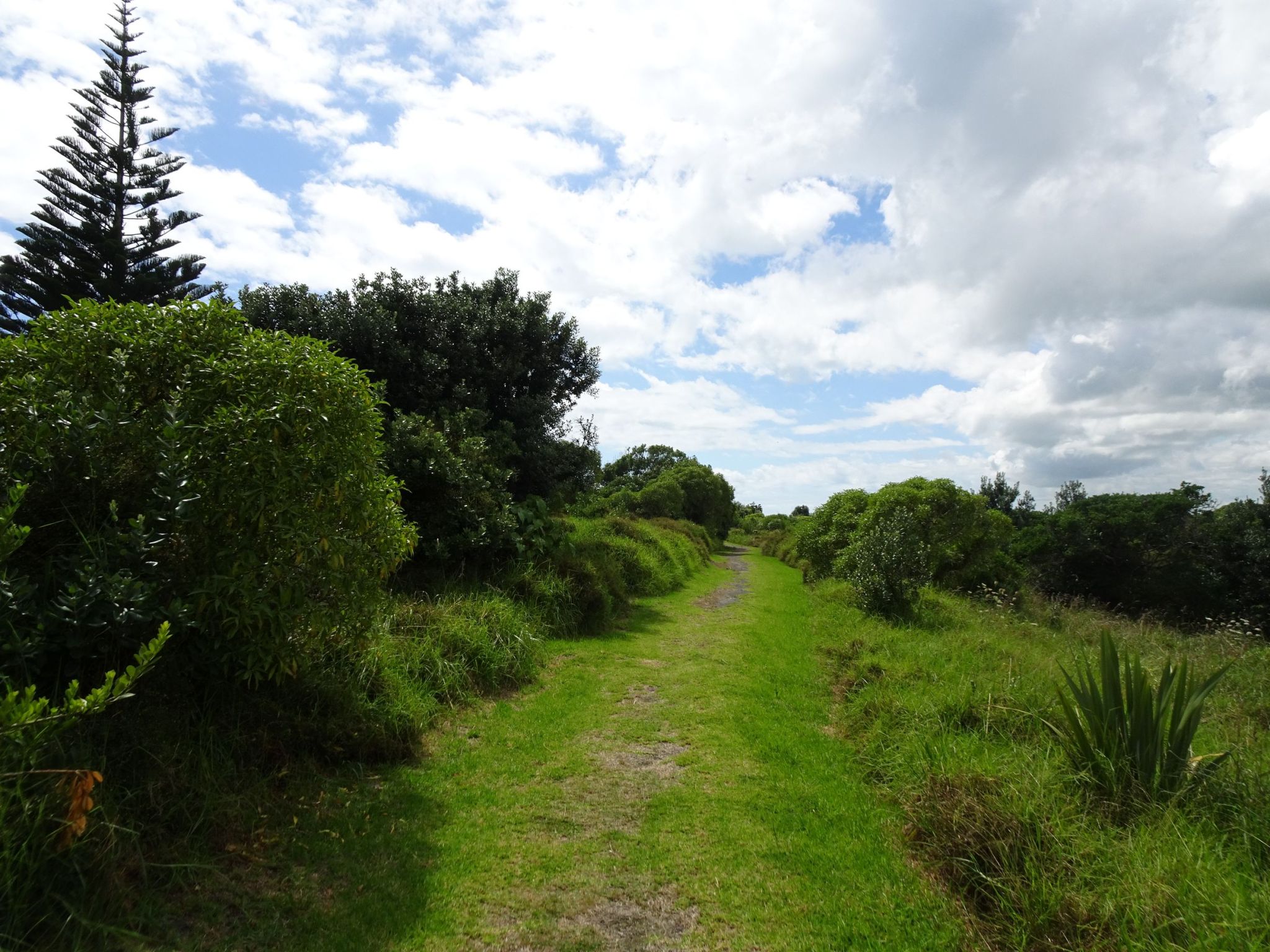
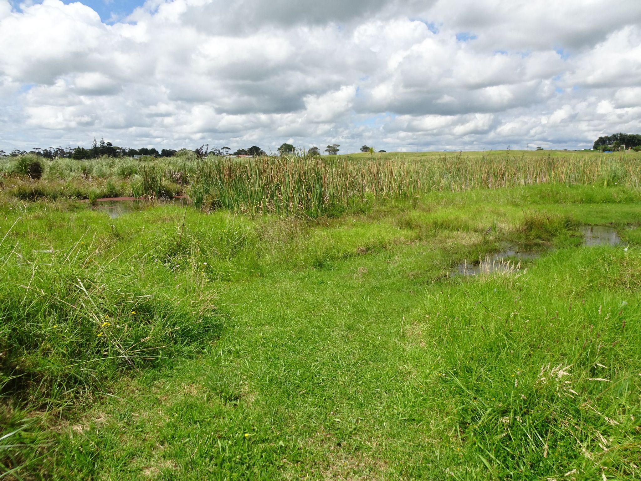
The loop track with long grass. The visible part of the track ended by the large oak tree seen at the centre of the photo.
One of the ponds near the oak trees seen on the above photo.
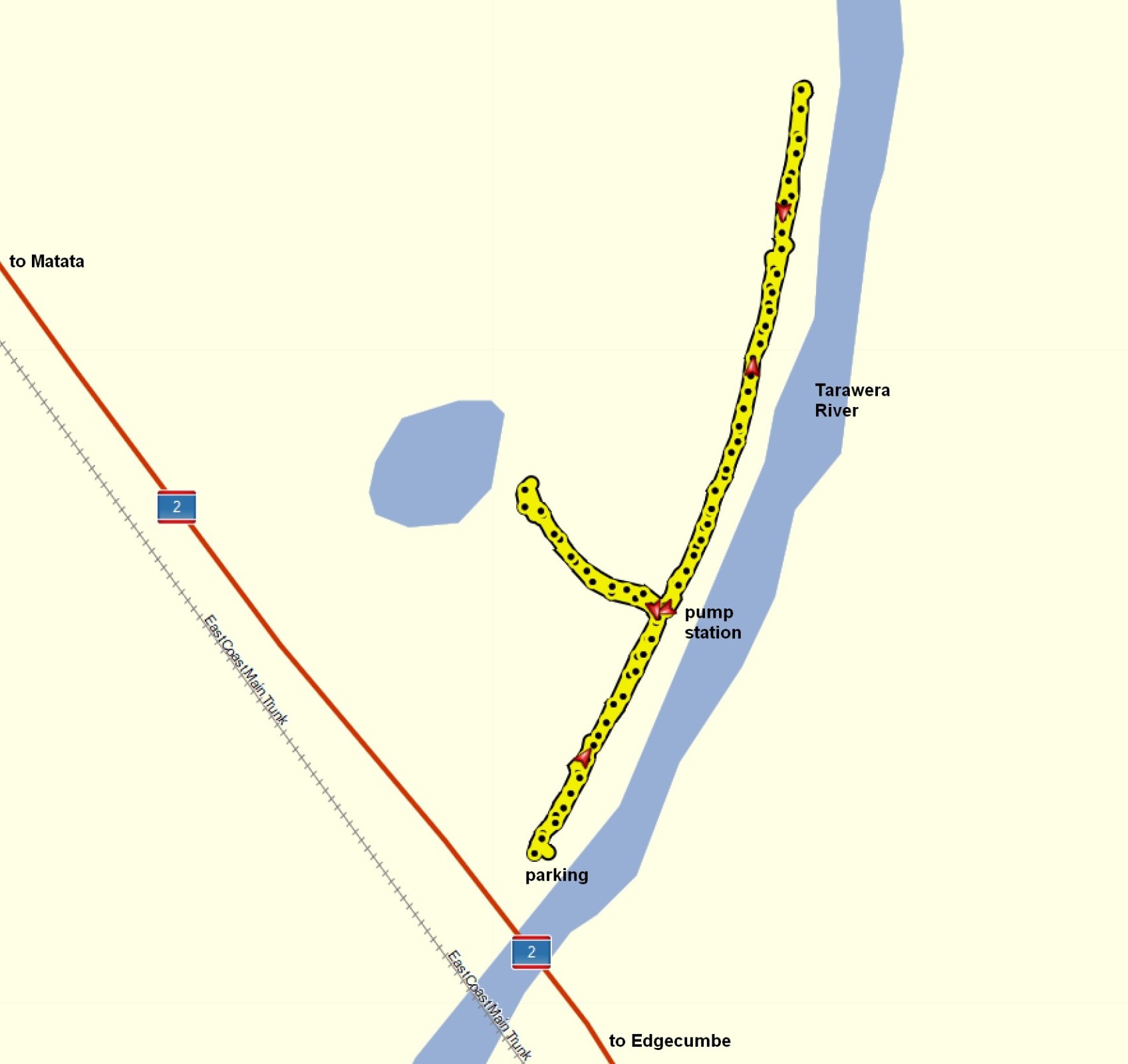
The GPS tracklog shows the tracks followed, walking in both directions. Total distance 1.2 km with a total time of 30 minutes.
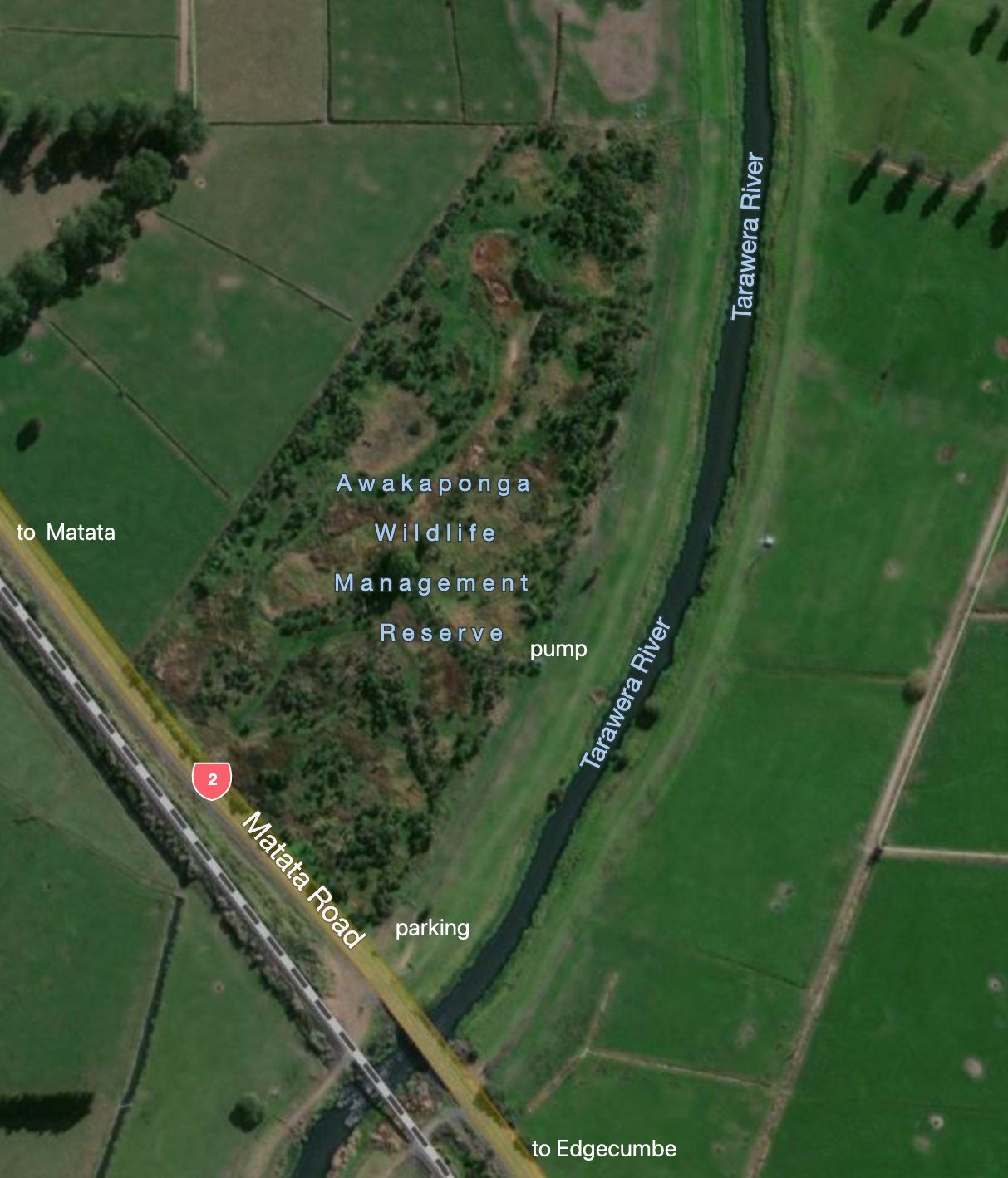
The aerial image, taken from Bing maps, shows the same area as above.
Matata Eastern Lagoon
Matata (Te Awa o te Atua) Wildlife Refuge Reserve is a 110 ha coastal wetland managed by the Department of Conservation with the active support of the Matata community and local iwi Ngati Tuwharetoa, Ngati Awa and Ngati Rangitihi. The reserve is a unique complex of coastal duneland and freshwater and brackish water wetland habitats comprising two shallow lagoons separated by an access road. The lagoon was formerly an estuary at the combined Rangitaiki and Tarawera river mouths, but the rivers were diverted in the early 1900’s. A storm on the 18th May 2005 flooded
the township and filled most of the western lagoon with debris. The lagoon has now been restored and an embankment with a walkway built through it.
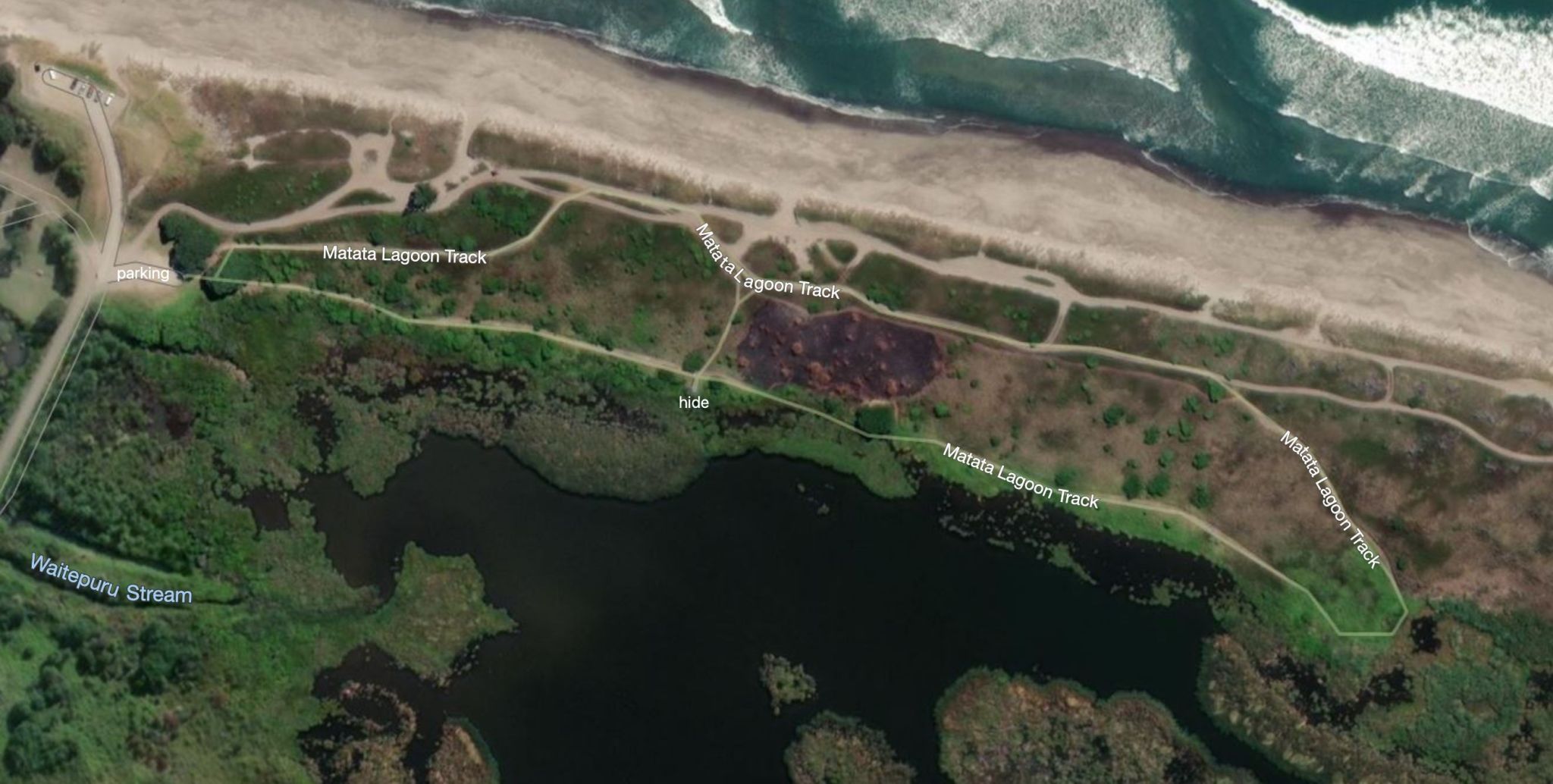
A short loop walkway provides views over the eastern lagoon. A narrow access road from Arawa Street/SH2 in Matata provides access to a campground, the beach, and a parking area by the entry to the walkway. The access road branches off SH2 across from the ends of St John Street and Mair Street. St John Street is off the photo to the right and Mair Street to the left.
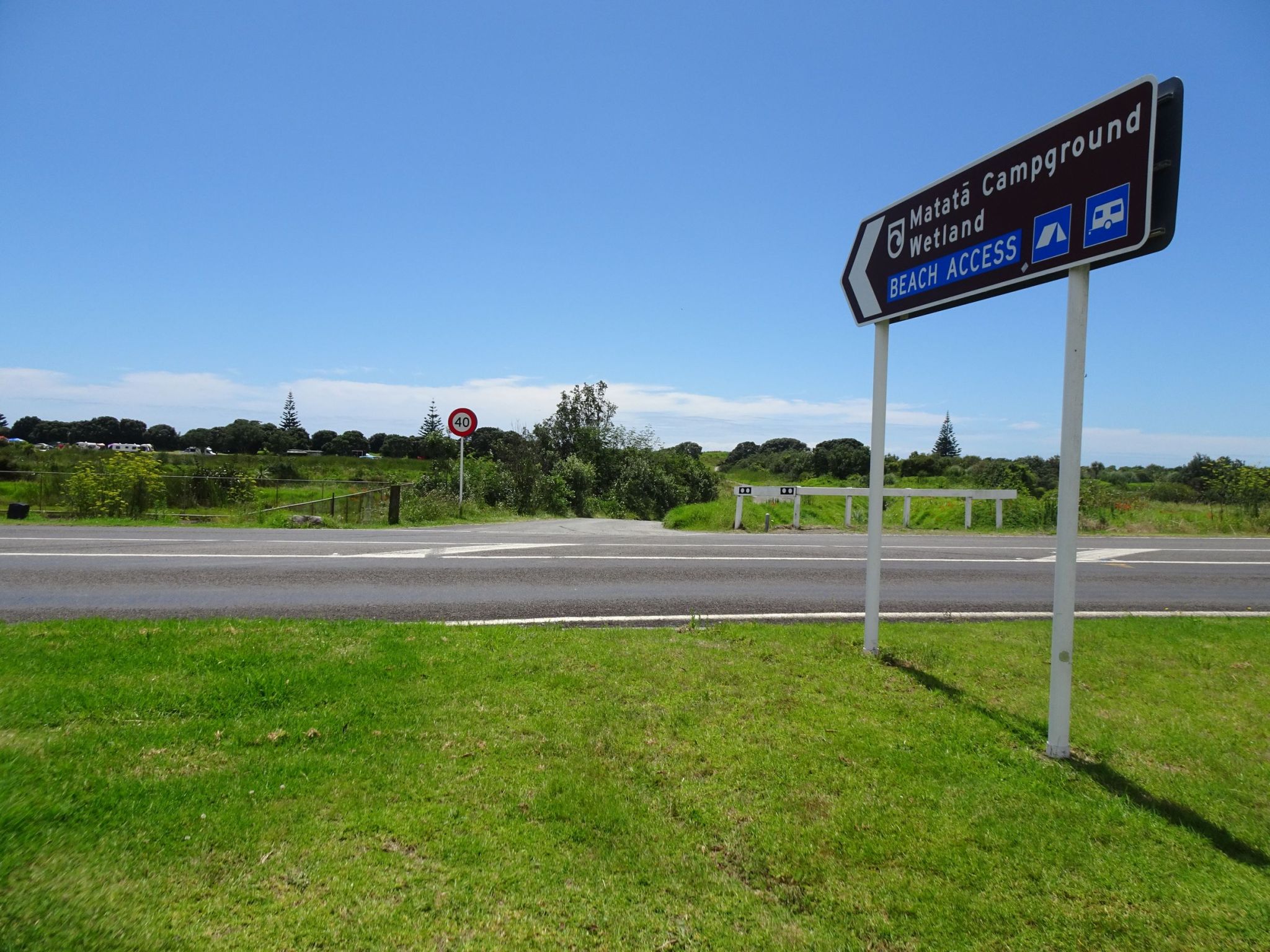
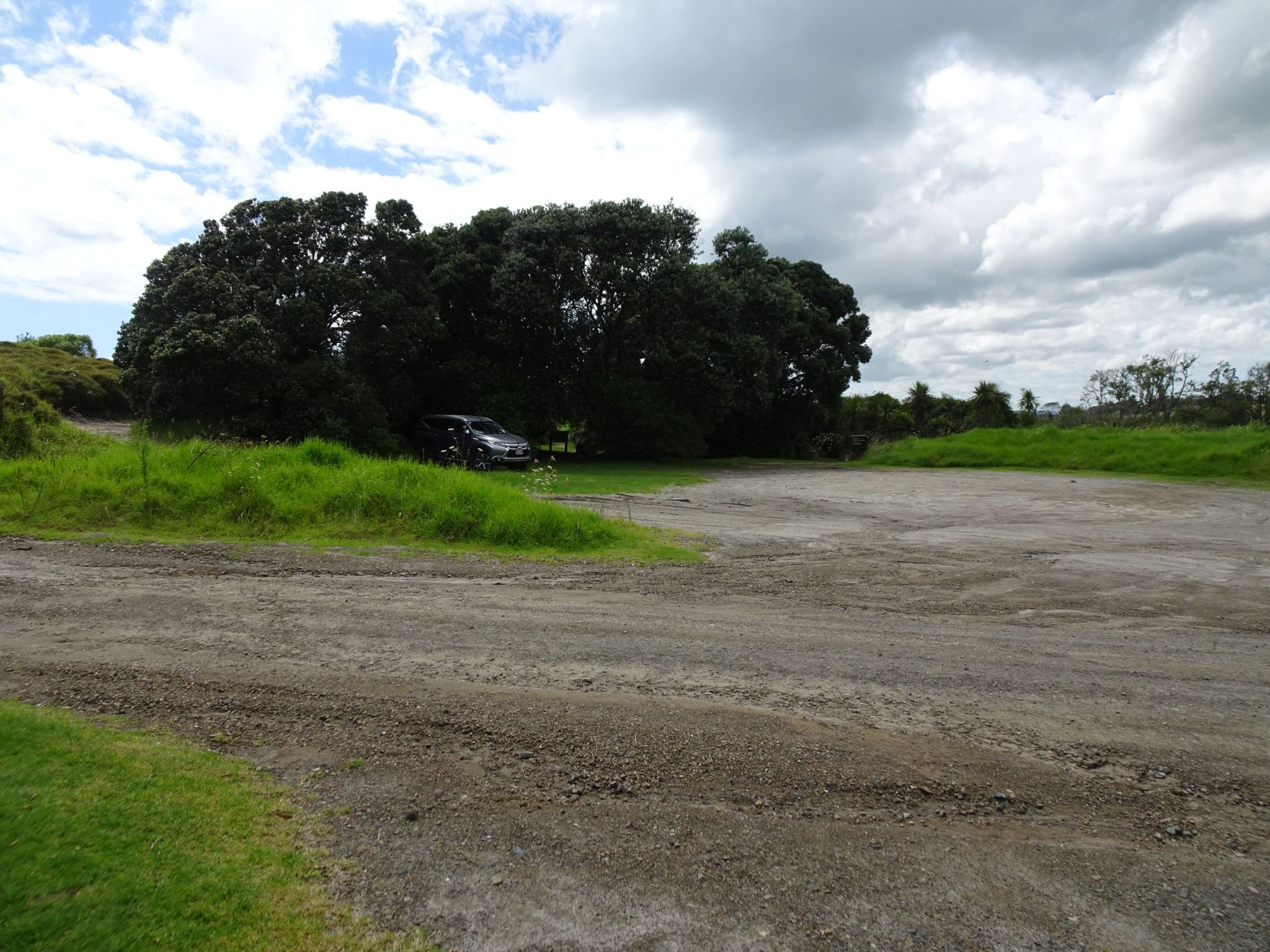
The parking area for the walkway seen from the entry to the campground. Beach access is off to the left and the access road from SH2 to the lower right.
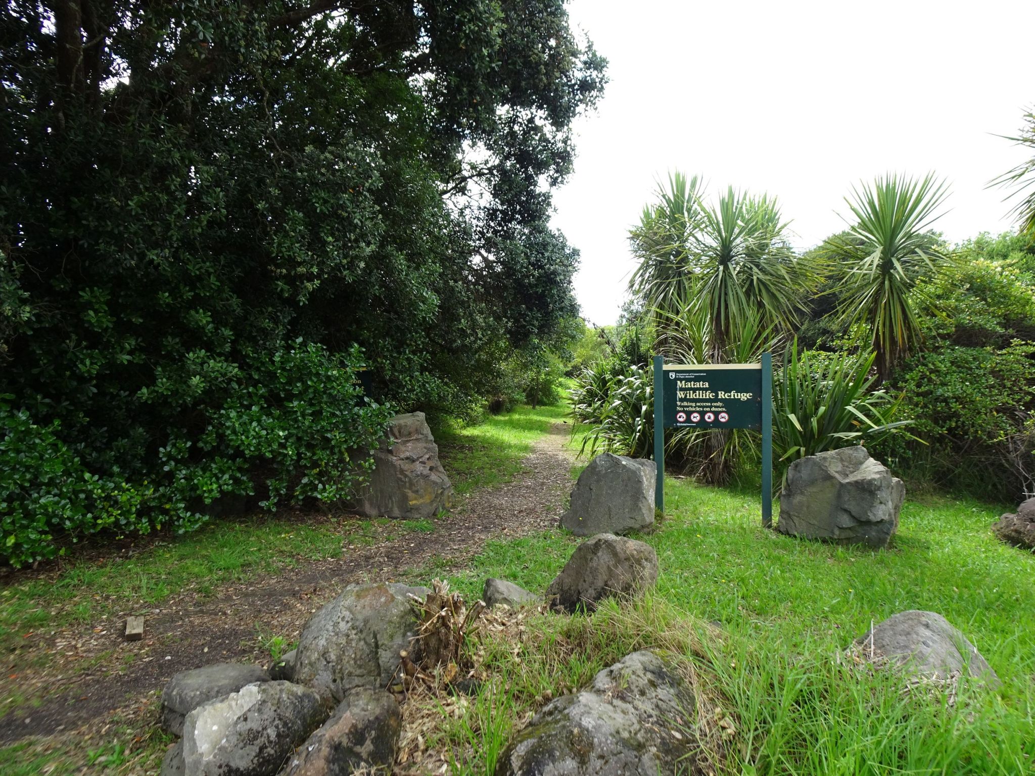
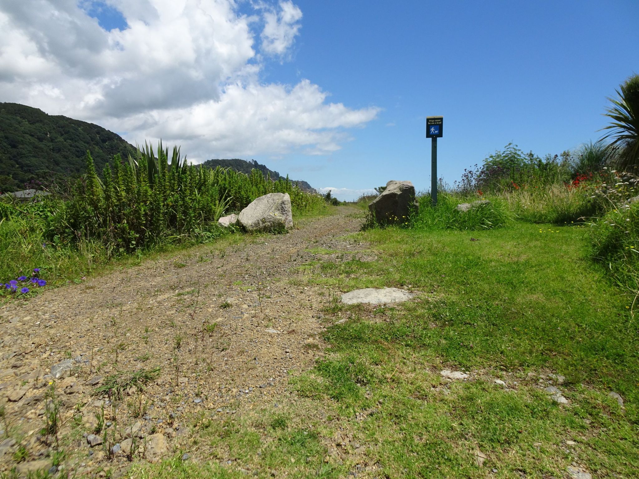
The entrance to the loop walkway nearest the lagoon, for walking the track in an anti-clockwise direction.
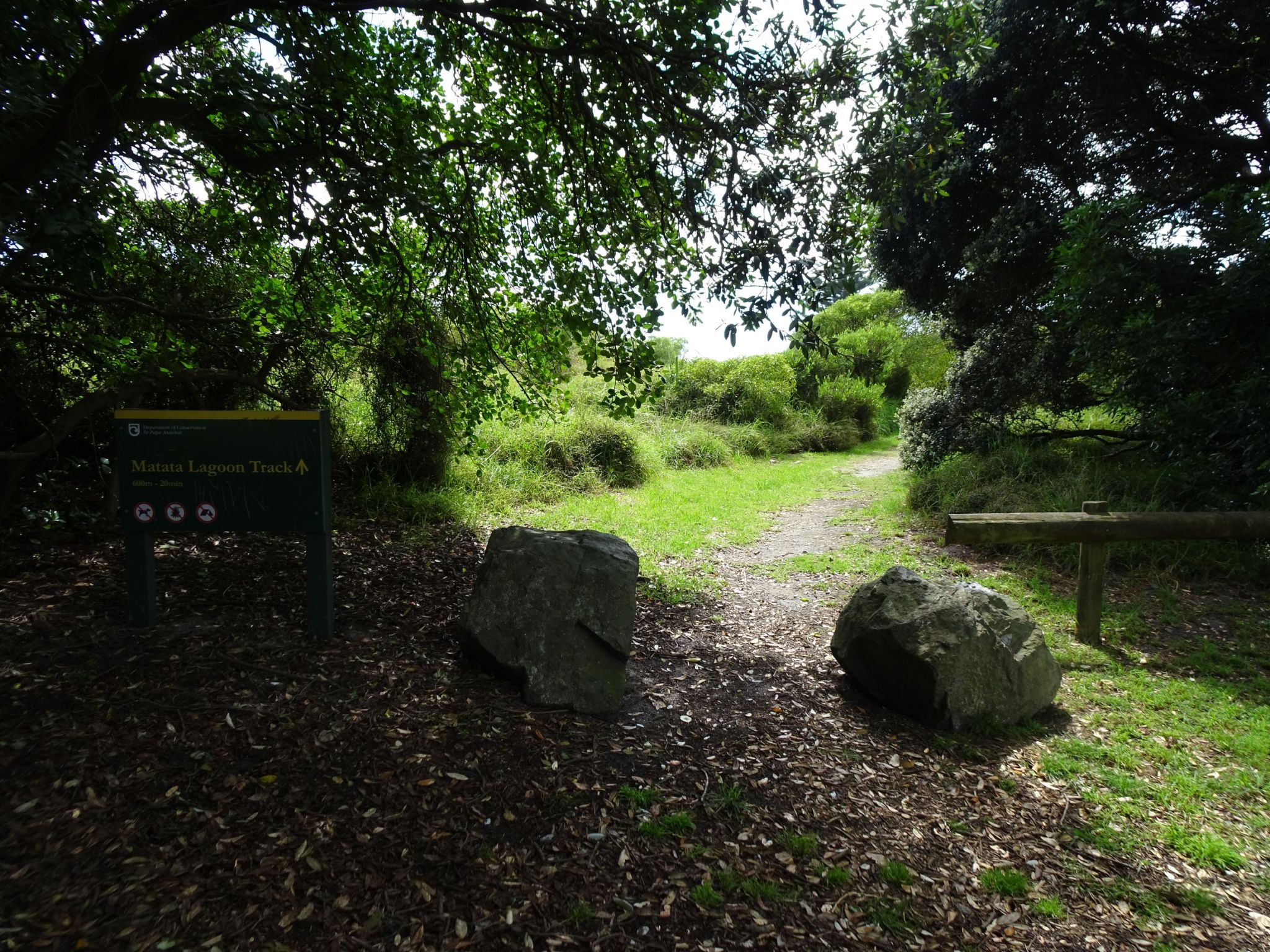
The northern (seaward) entrance to the walkway for doing the loop in a clockwise direction. The walk was done starting here.
The walkway is well formed for most of the way.
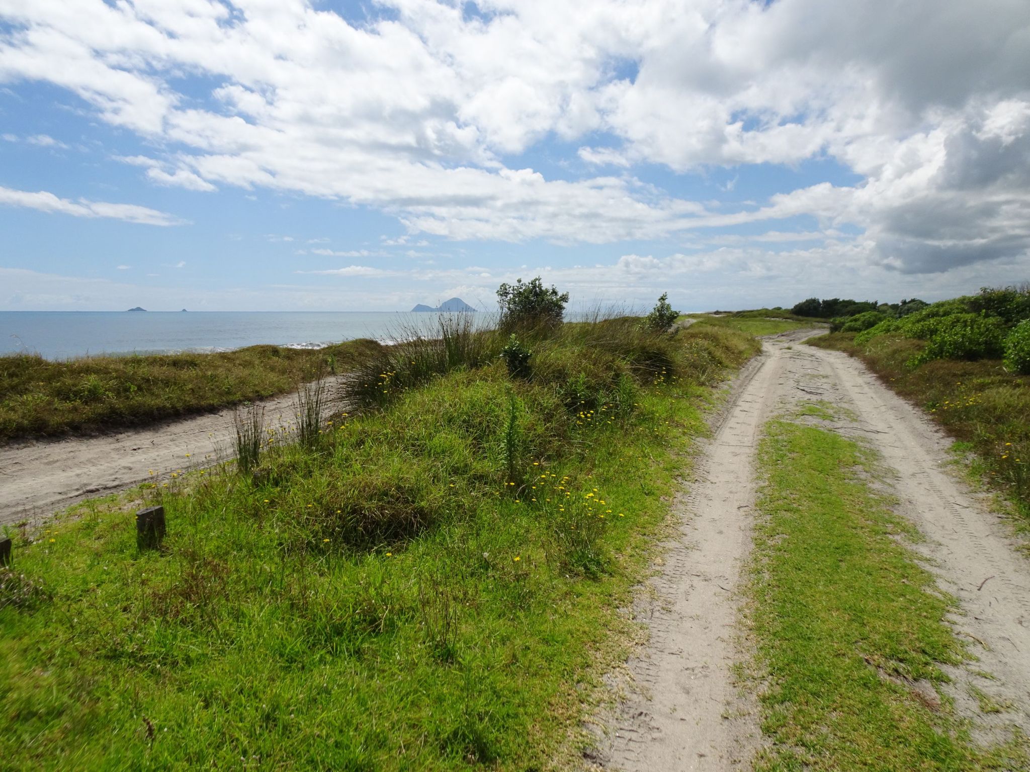
The walkway joins up with track providing vehicle access alongside the beach heading towards the Tarawera River mouth. After a short distance the walking track heads down towards the lagoon.
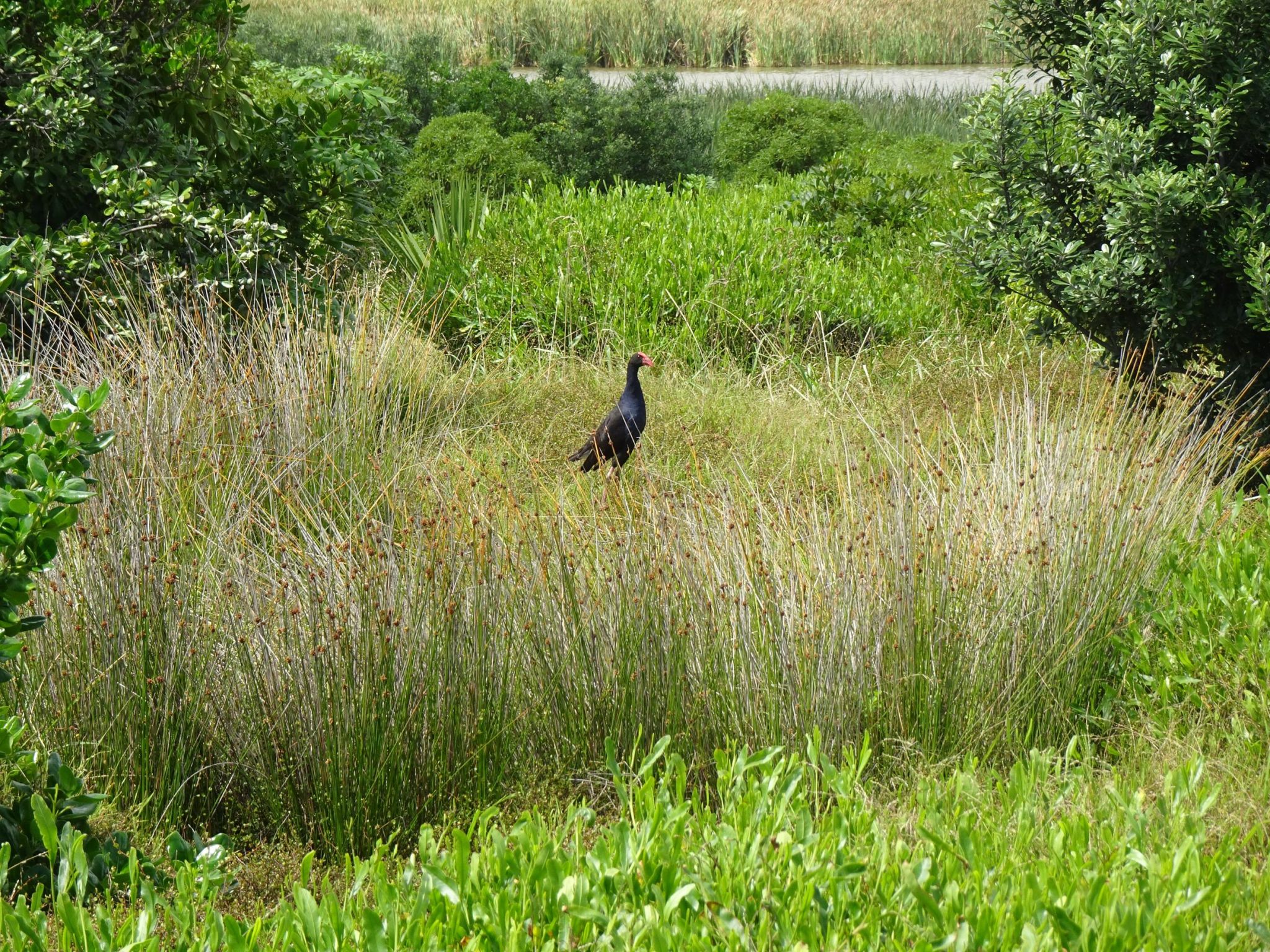
A pukeko seen from the track. The lagoon can be seen at the top of the photo.
The track as it approaches the turning point and heading back to the carpark. Here looking towards the east.
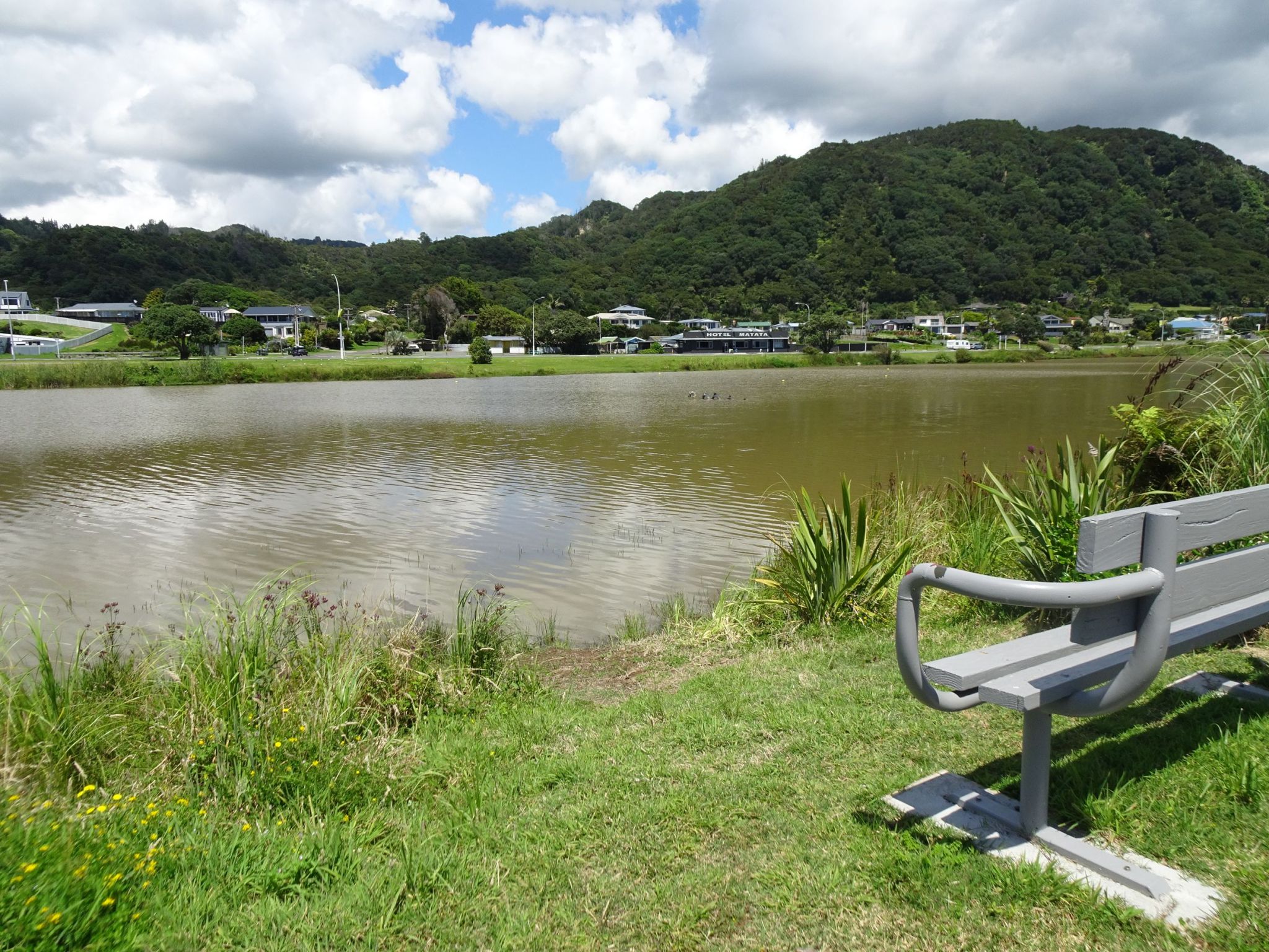
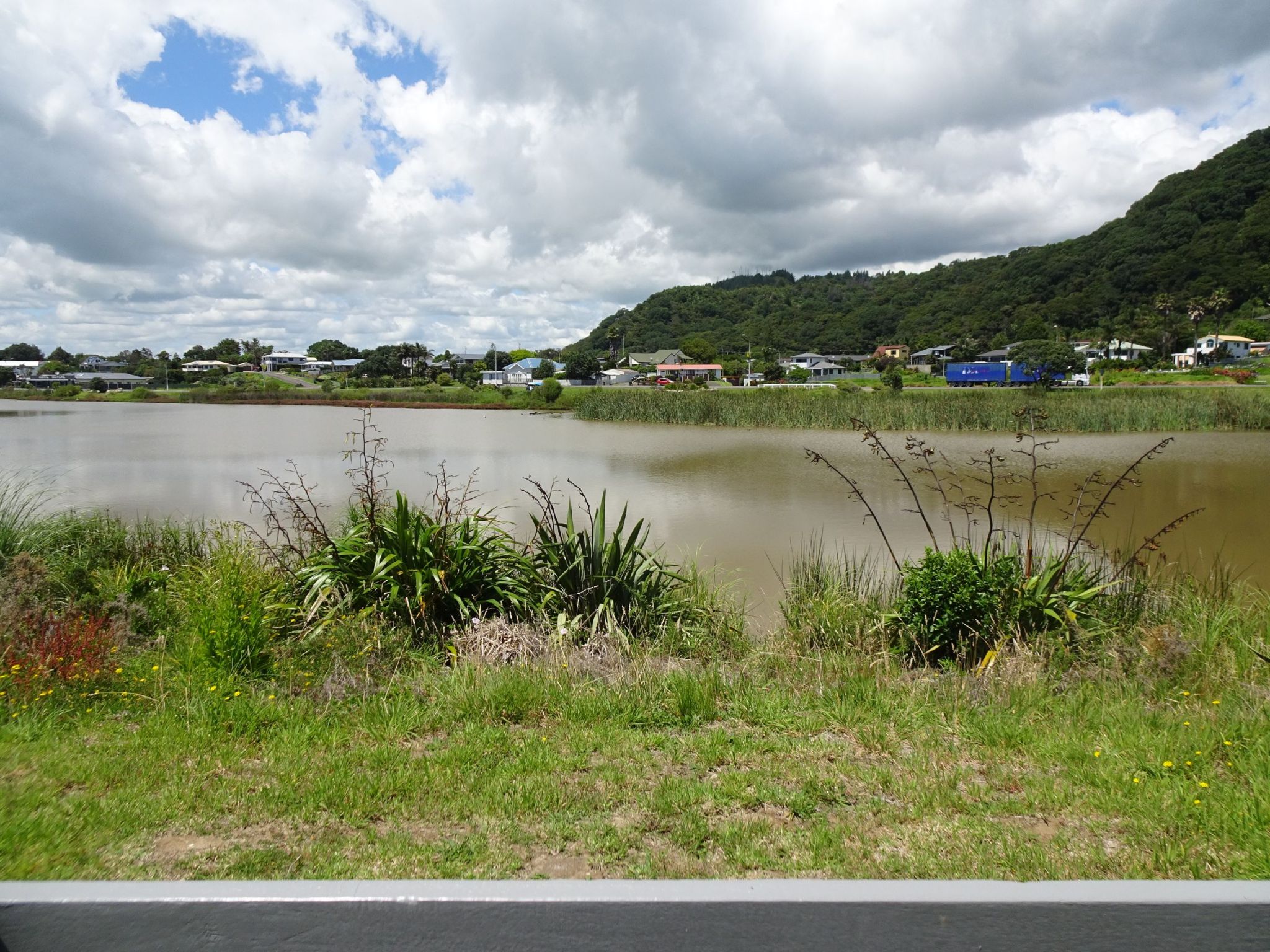
And looking westward towards Matata township.
The track crosses a small swampy area at the turning point, but it was possible to get across without getting wet feet.
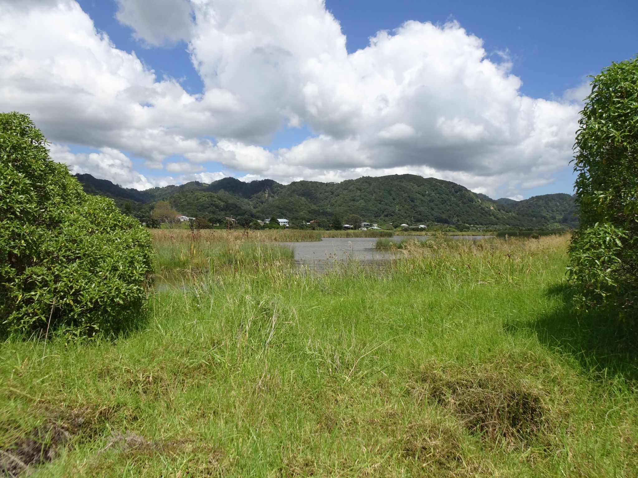
Looking across the eastern lagoon towards Matata township from the lower track.
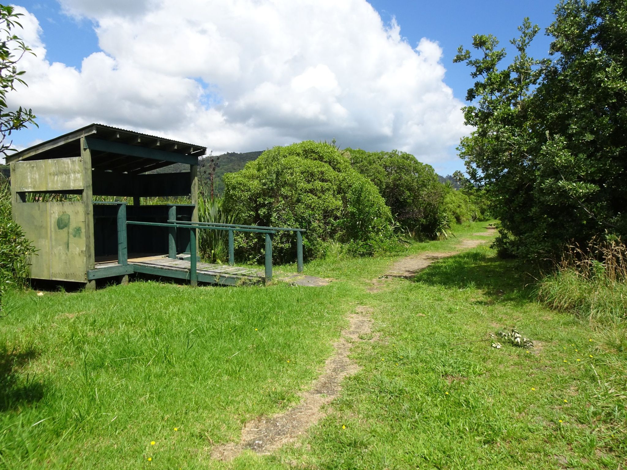
A hide has once provided information panels and a view across the lagoon. The vegetation now blocks the views and the information panels are gone.
The GPS tracklog shows the path walked in a clockwise direction. Total distance was 1.1 km for a total time of 20 minutes.
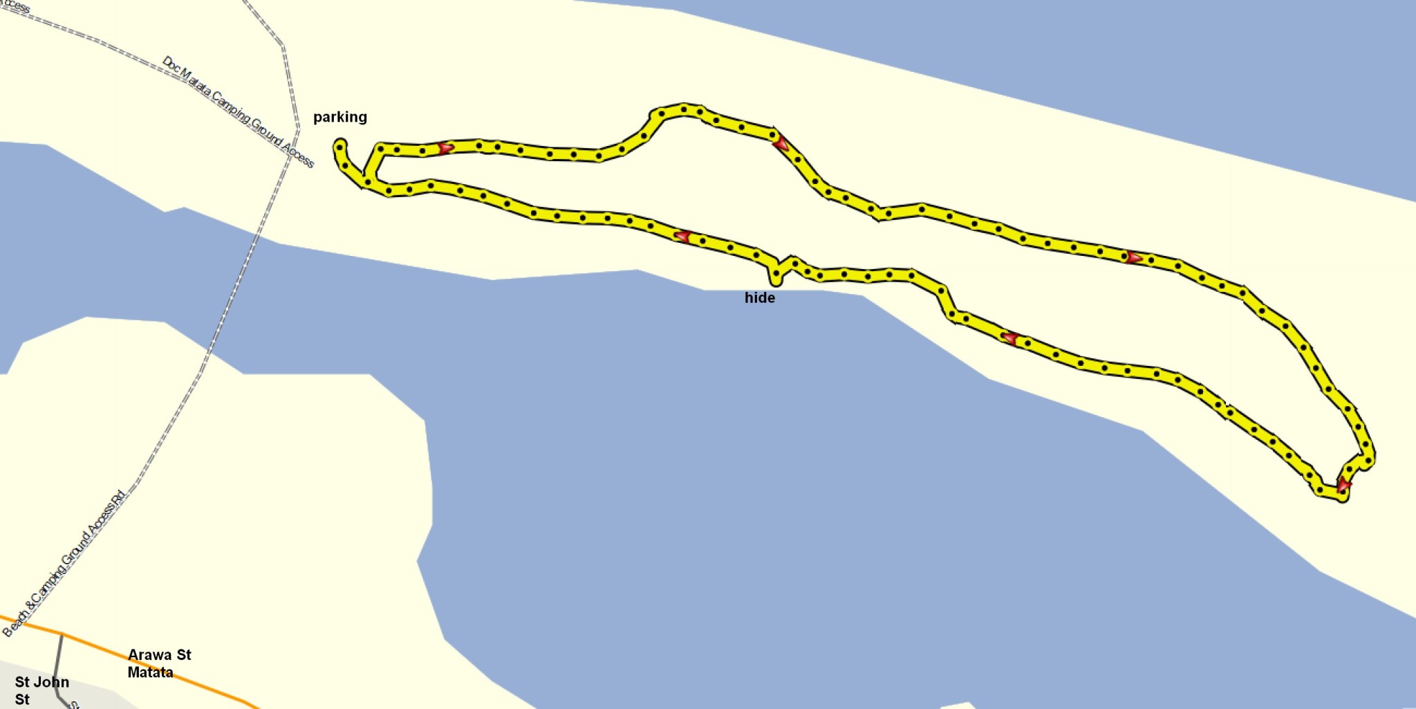
The aerial image from Bing Maps shows the same area as the tracklog.
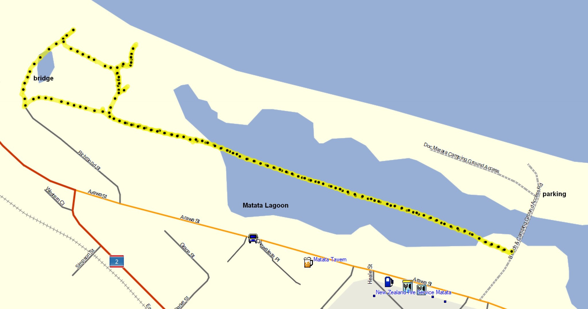
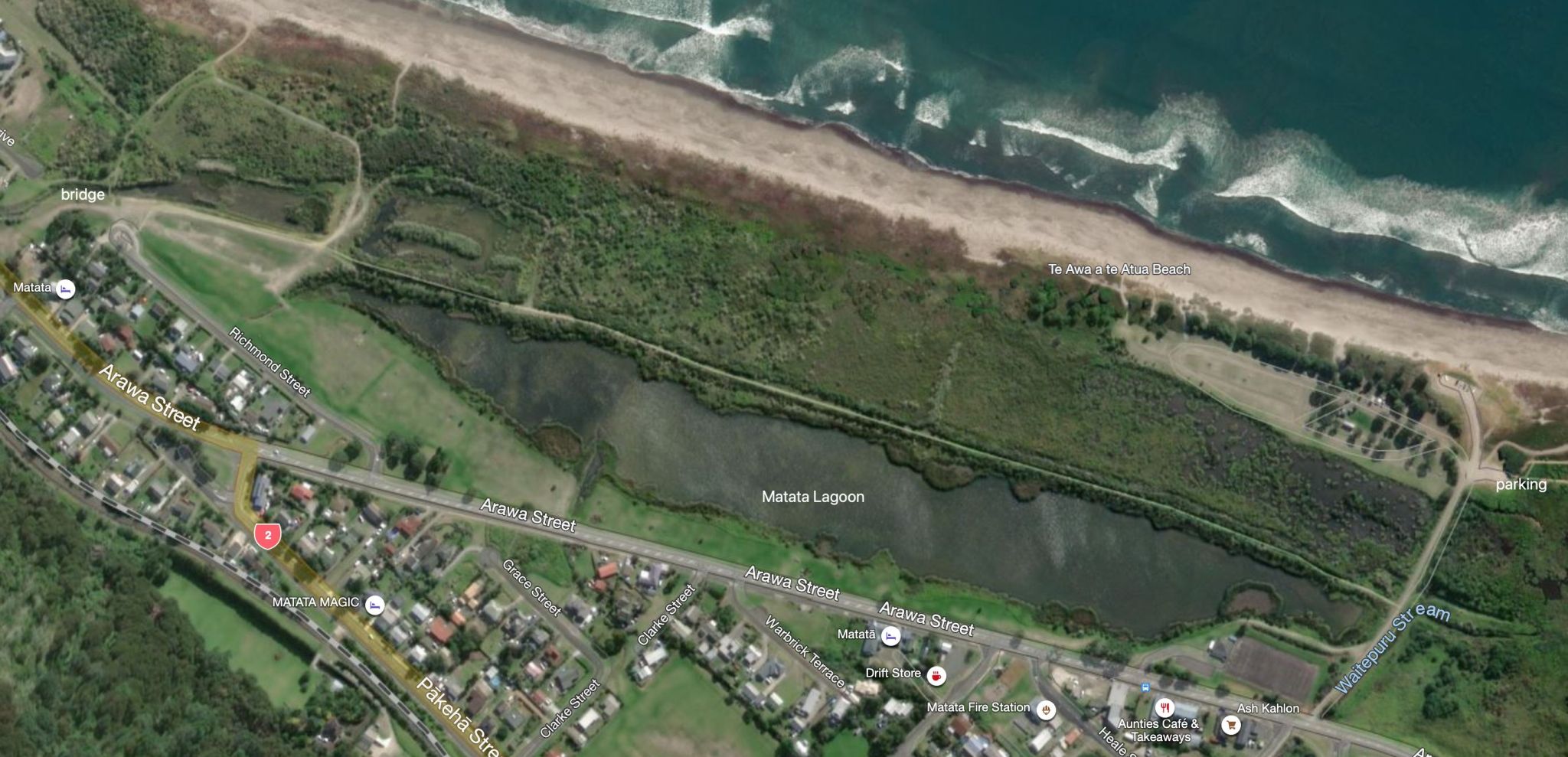
Matata Western Lagoon embankment
A walkway runs along an embankment in the western lagoon between the access road and Richmond Street, starting about halfway between SH2 and the parking area for the eastern lagoon walkway. There are good views across the western lagoon from the walkway. From Richmond Street it is possible to return via SH2/Arawa Street or back along the embankment.
The start of the embankment walkway from the beach access road. The walkway is well formed with gravel and grass areas.
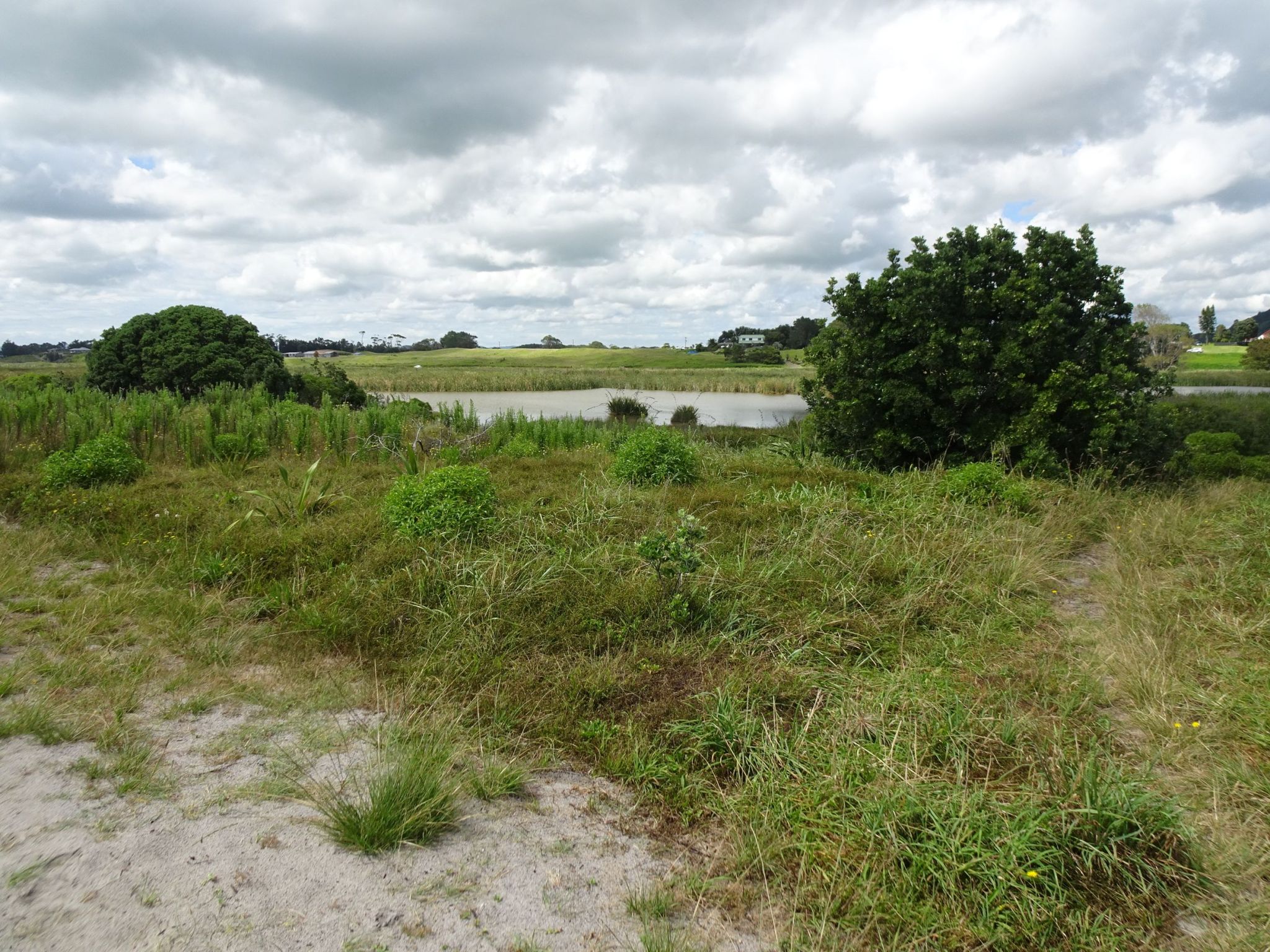
A view across the lagoon near the eastern end of the embankment.
And a view near the western end of the embankment.
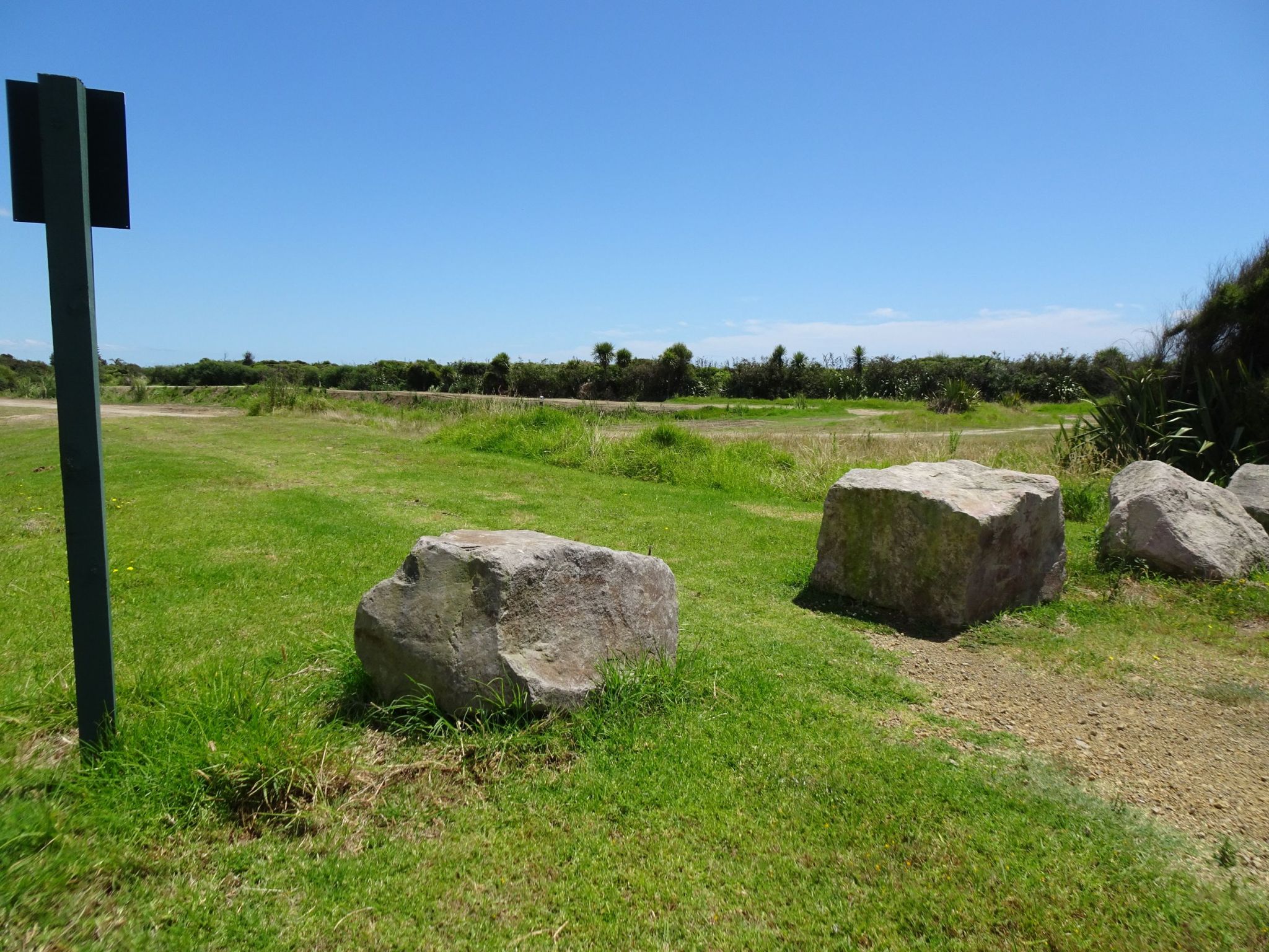
The end of the track, with Richmond Street off picture to the left and a small loop track on the right.
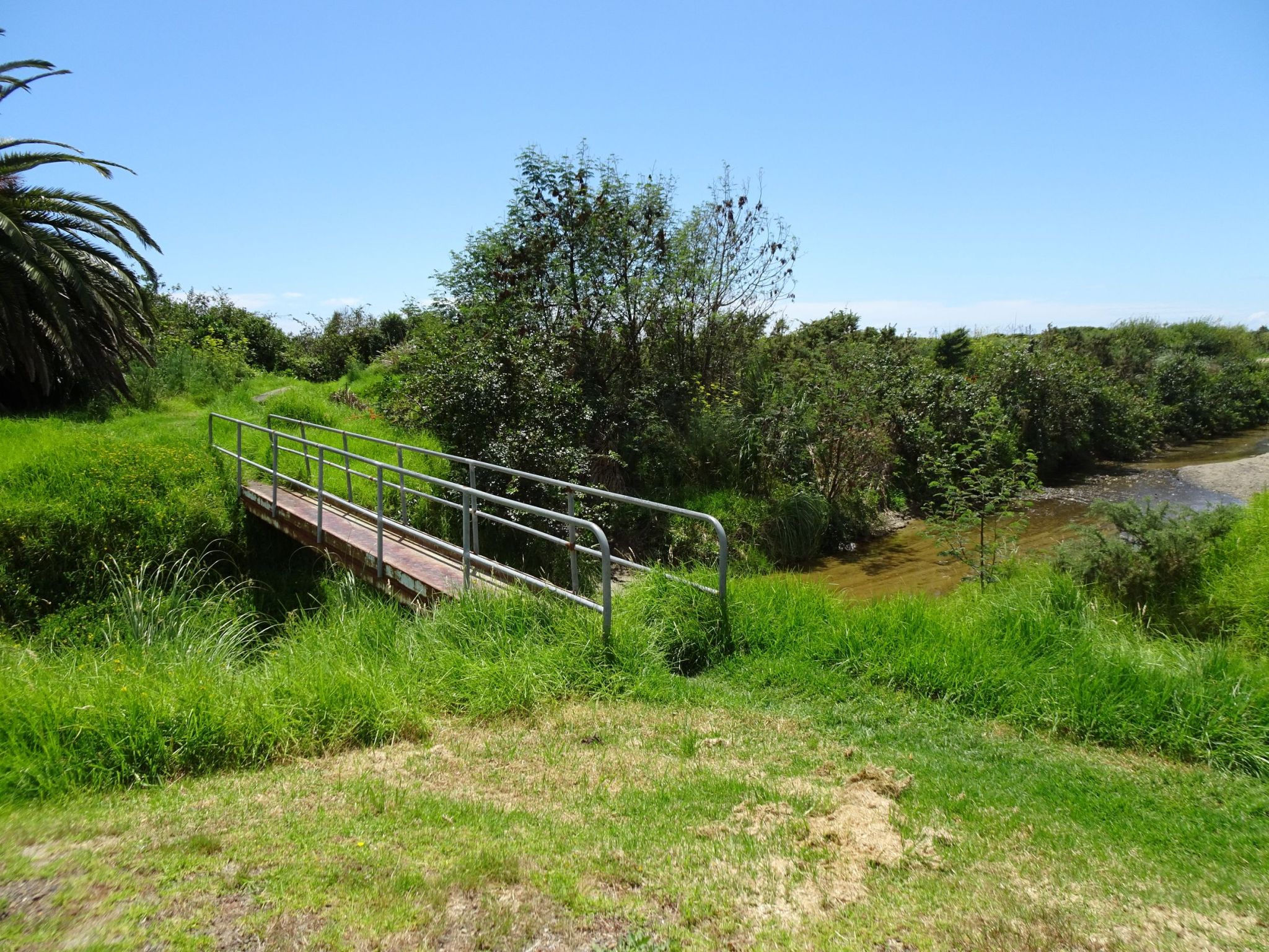
A small steel bridge crosses the stream which became a torrent bringing down huge rocks during the May 2005 storm.
From the small loop track there are side tracks leading to the beach, and another leading back to the western end of the embankment.
The GPS tracklog shows the path followed, walking along the embankment in both directions, and with some short side tracks towards the beach off the loop track. The total distance walked was 2.8 km in a total time of 40 minutes.
The aerial image from Bing Maps shows the same area, with the embankment track clearly visible.
The three tracks were walked on January 23, 2023.
