Tag Archives: Lake Rotoiti

Lake Okataina to Mt Whakapoungakau

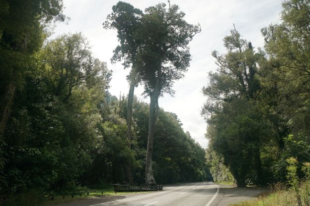
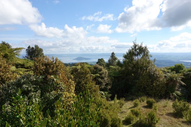
Mount Whakapoungakau is the highest point, at 758 metres, of the Whakapoungakau Range in the Lake Okataina Scenic Reserve. The summit is accessible as a side track off the Western Okataina Walkway, which is now a combined walkway and mountain bike trail. The walkway is accessible from the Lake Okataina and Lake Rotoiti end in several locations, and from the Lake Okareka end on Millar Road. This walk was done from Lake Okataina to the summit of Mt Whakapoungakau and return to Lake Okataina.

A short description of the Western Okataina Walkway can be found on the DoC web site, and all the tracks in the Lake Okataina region are described in a brochure available as a pdf file on the Rotorua Lakes Council web site. There is a link under the heading Brochures called Walking and hiking in Rotorua. Several of the tracks in the Okataina Scenic Reserve are also described in previous posts on this site, such as Lake Okataina Scenic Reserve – Ngahopua, Anaha and Kepa Tracks and Rongomai, Te Auheke and Tarawhai Tracks at Lake Okataina and Okataina Western Walkway – SH30 to Patotara.

Continue reading

Hinehopu/Hongi’s Track

Hinehopu Track or Hongi’s Track, originally Te Tahuna, is an easy walking track which connects Lake Rotoiti and Lake Rotoehu through mature native forest, with a short side track to Hinehopu’s Tree alongside SH30. The tree has also been known as the wishing tree.

Information panels adjacent to Hinehopu’s Tree relate the history of the track and of the tree, an ancient Matai which is considered sacred. Hinehopu, a Maori chieftainess who lived in the early 17th century, used the track and named it Te Ara-o-Hinehopu (Hinehopu’s Track). In 1823 a Maori warrior, Hongi, used the track to move war canoes from Lake Rotoehu to Lake Rotoiti to mount a raid on Mokoia Island. Since then it has been known as Hongi’s Track.

Continue reading

Okere Falls

Okere Falls Scenic Reserve is located off SH33 about 20 kms north of Rotorua, and accessed from Trout Pool Road in the small village of Okere Falls. The flow of the Okere River, also known as the Kaituna River, through the scenic reserve is regulated by control gates adjacent to SH33. The first kilometre or so of the river is well known and much used for whitewater rafting and kayaking. Several companies run rafting trips down the river, starting at the control gates and ending at the Trout Pools.

Parking is available alongside SH33, and at parking areas by Trout Pool Road and at the northern end of Trout Pool Road, where there are also toilets and picnic areas. The well formed and easy walkway runs between the two parking areas, with side tracks to lookouts by Okere Falls and Tutea Falls. There are no steps on the main track, but numerous steps on the side tracks to the falls lookouts. Information about the walk and the reserve can be found on the DoC web site.

Continue reading

Okataina Western Walkway – SH30 to Patotara

The Okataina Western Walkway track runs between SH30 at Ngapuka Bay on Lake Rotoiti to Millar Rd near Lake Okareka. In total about a 7-hour walk according to the DoC site. The northern end from SH30 to Lake Okataina is a walking track only. The remainder of the track is both a walking and mountain biking track. Supposedly the longest mountain biking track in the Rotorua area at 19.1km.

This post covers the northern end of the walkway, from SH30 to the Patotara exit point, a distance of about 4 km.

Continue reading