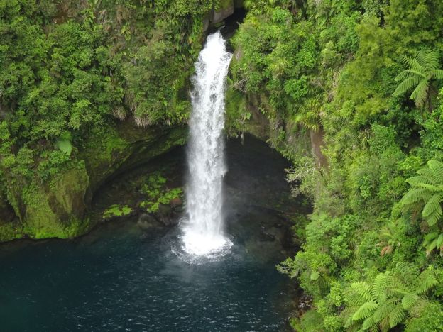
Public access to view Ōmanawa Falls opened in December 2023 after a lengthy closure. Extensive work has been done on a new parking area, toilets, information panels, access tracks, steps and viewing platforms. For information about the falls and the previous viewing access see the post Omanawa Falls. Official information about the falls, including opening times, and a downloadable map of the new tracks can be found on the Tauranga City web site.
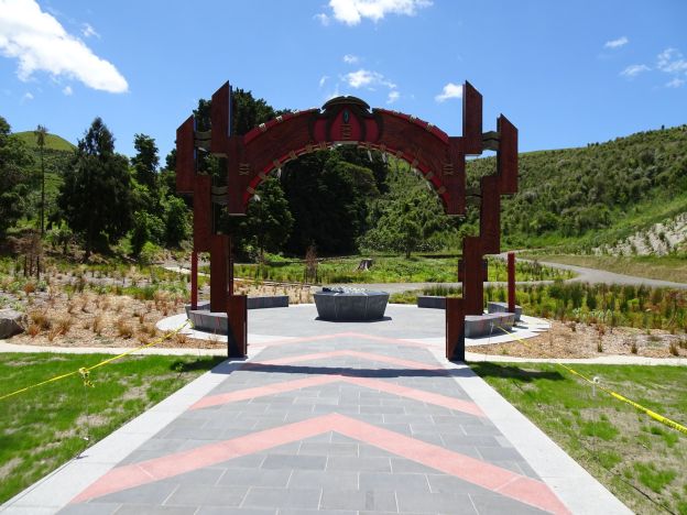
Development work was done with the involvement of Ngāti Hangarau, for whom the falls are a sacred place, a place for reflection, interpretation and healing. There is no public access to the lake at the bottom of the falls or the underground power station. The end of the track and last lookout is almost directly above the top of the falls.
Continue reading