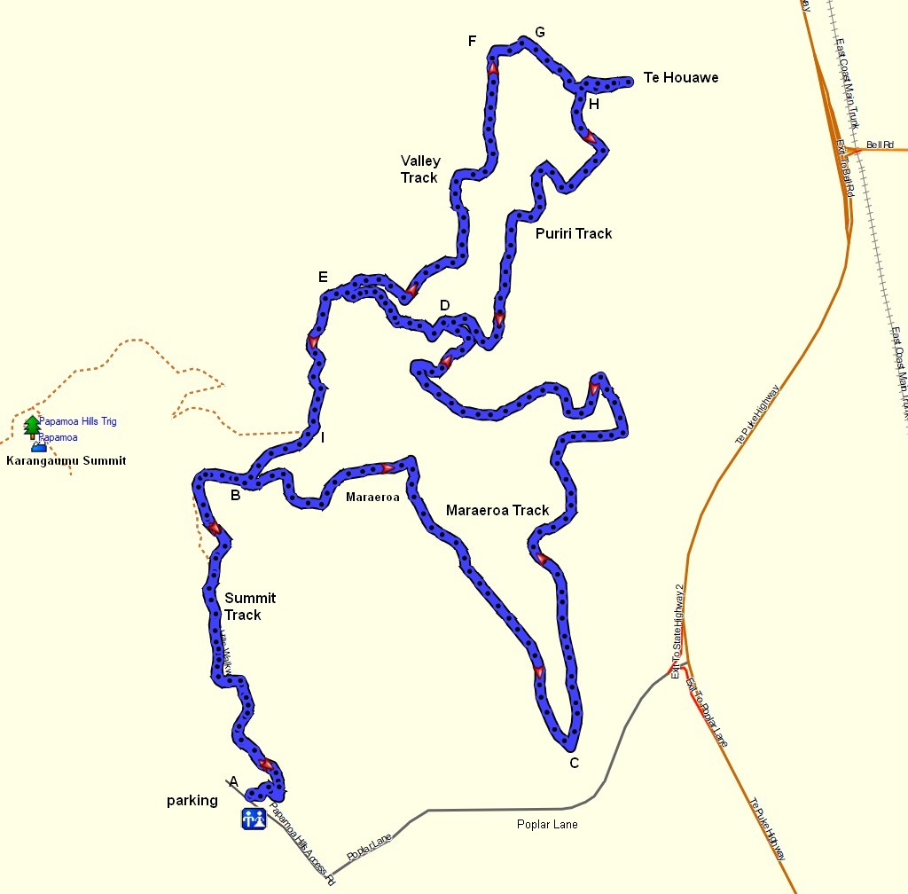
There are a number of walking tracks in the Papamoa Hills Cultural Heritage Regional Park near Tauranga, but several of these are currently unmarked and only shown on aerial photos at various locations within the park. One of the longest and most varied of these tracks, the Maraeroa Track, is only shown on the information panel by the carpark on Poplar Lane, off Te Puke Highway (the old SH2). The most used track is the Karangaumu Summit Track, and the lower part of this track also provides access to the other tracks within the park.
The tracks described here are the Maraeroa , Valley and Puriri tracks. Maraeroa Track branches off the summit track and returns to the summit track about 150 metres further up. Valley Track and Puriri Track branch off Maraeroa Track and can also connect with Te Rae O Papamoa Track. For an older description of the summit track and part of Te Rae O Papamoa Track see the previous post Papamoa Hills Cultural Heritage Regional Park.
The walk described here is about 6.6 km long, including the Karangaumu Summit Track to and from the ends of Maraeroa Track. Maraeroa Track is walked in an anti-clockwise direction, branching off to walk the Valley and Puriri Tracks in a clockwise loop, before completing Maraeroa Track and returning to the carpark.
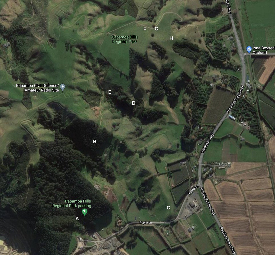
The image shown is located on the information panels by the carpark. The route followed starts at the carpark (marked as A) following the Karangaumu Summit Track to point B where Maraeroa Track branches off. Maraeroa Track goes down to point C before heading north past the location where the track is moved relative to the dotted track shown on to the junction with Puriri Track (marked as D) and the junction with Valley Track (marked as E). The walk then follows Valley Track to point F, then along the road to G, where Puriri Track goes past Te Houawe pa site at H and back to Maraeroa Track at point D. Then it’s past point D and on to Karangaumu Summit Track at point I before following this track back to the carpark at point A.

The panel immediately below the aerial photo shows the track names with distances and estimated walking times.

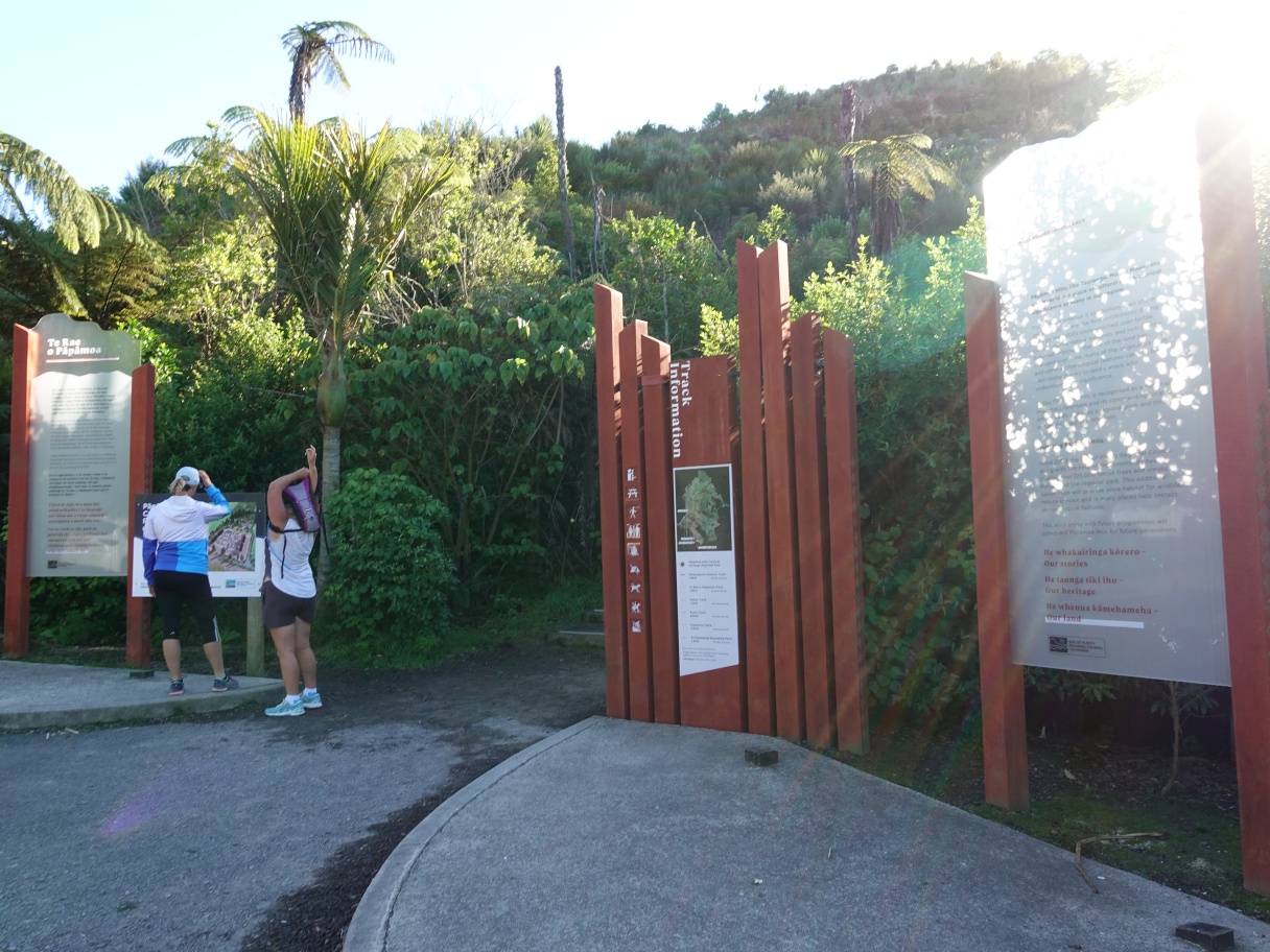
The information panels by the carpark at Papamoa Hills Cultural Heritage Regional Park. The aerial photo map and track details are in the panel at the centre of the photo. The summit track starts at the opening to the left of this panel.
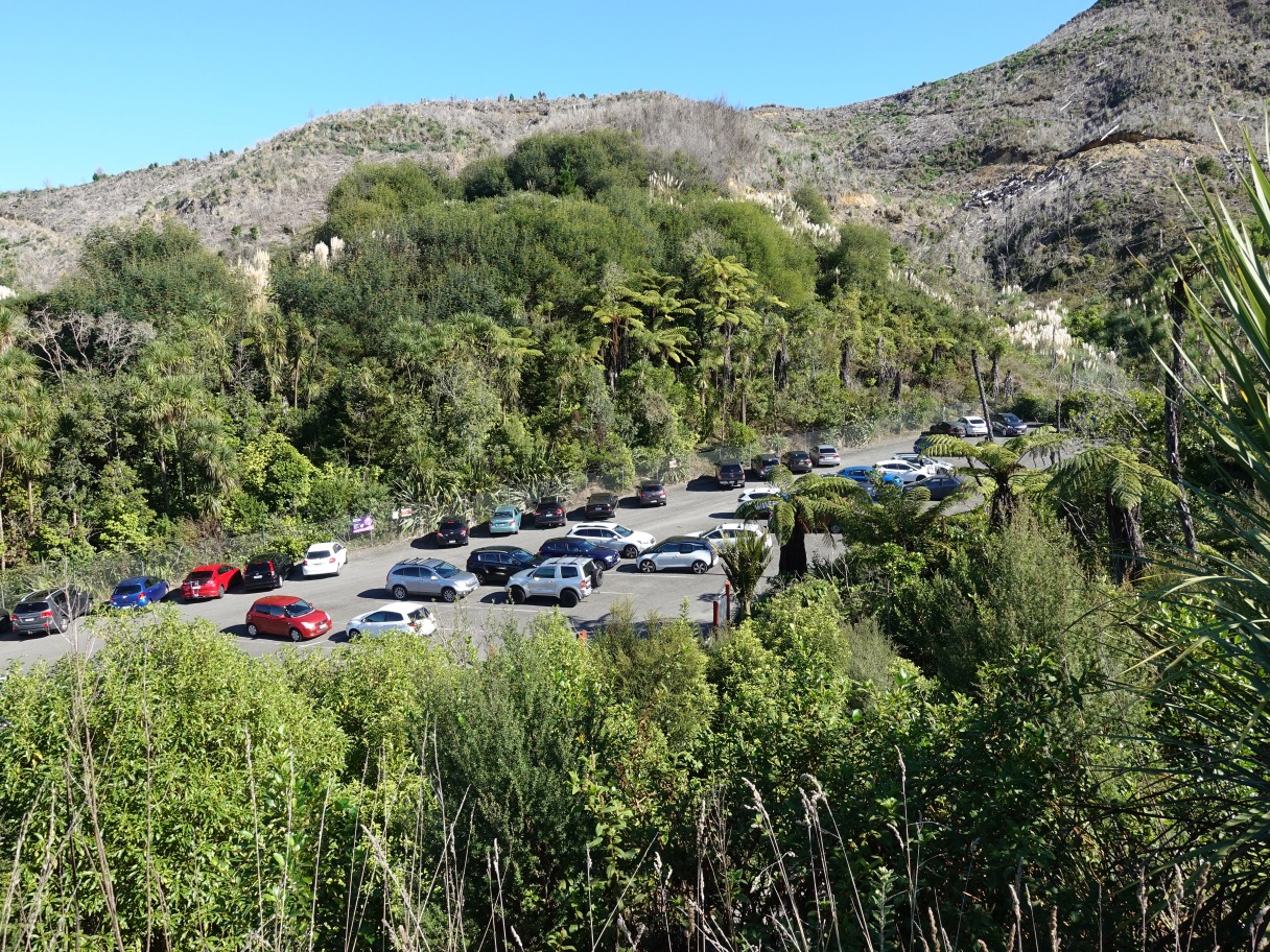
The carpark was almost completely full. There are plans to move and extend the carpark and track starting location some time in 2021.
The summit track is wide, well-formed and has a fine gravel surface which can be quite slippery going downhill. Here looking back down the track.

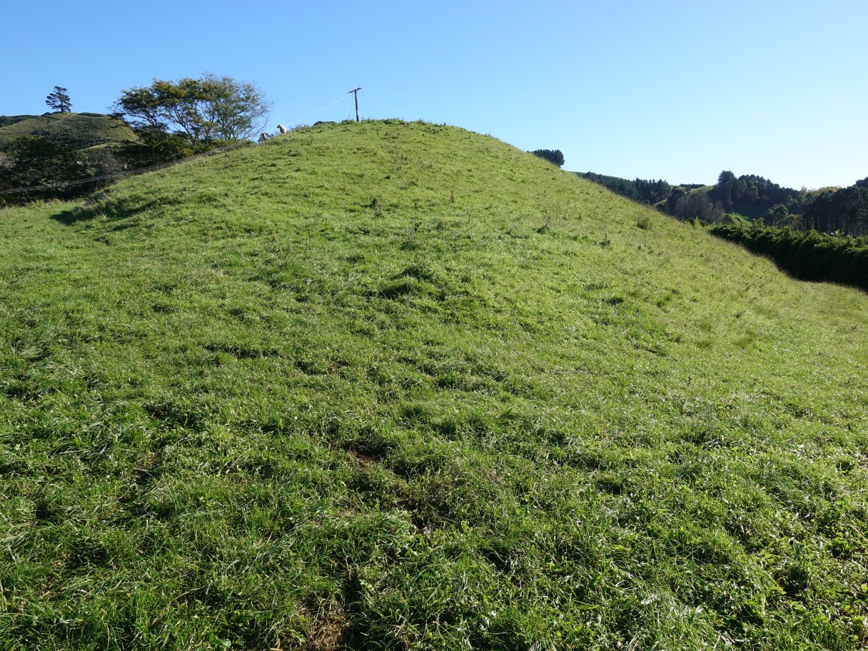
From a bench seat by the summit track there is a view across to Maraeroa pa site on the ridgeline to the left. Maraeroa Track continues from there down the ridgeline towards the right.

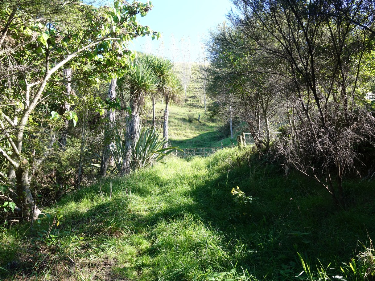
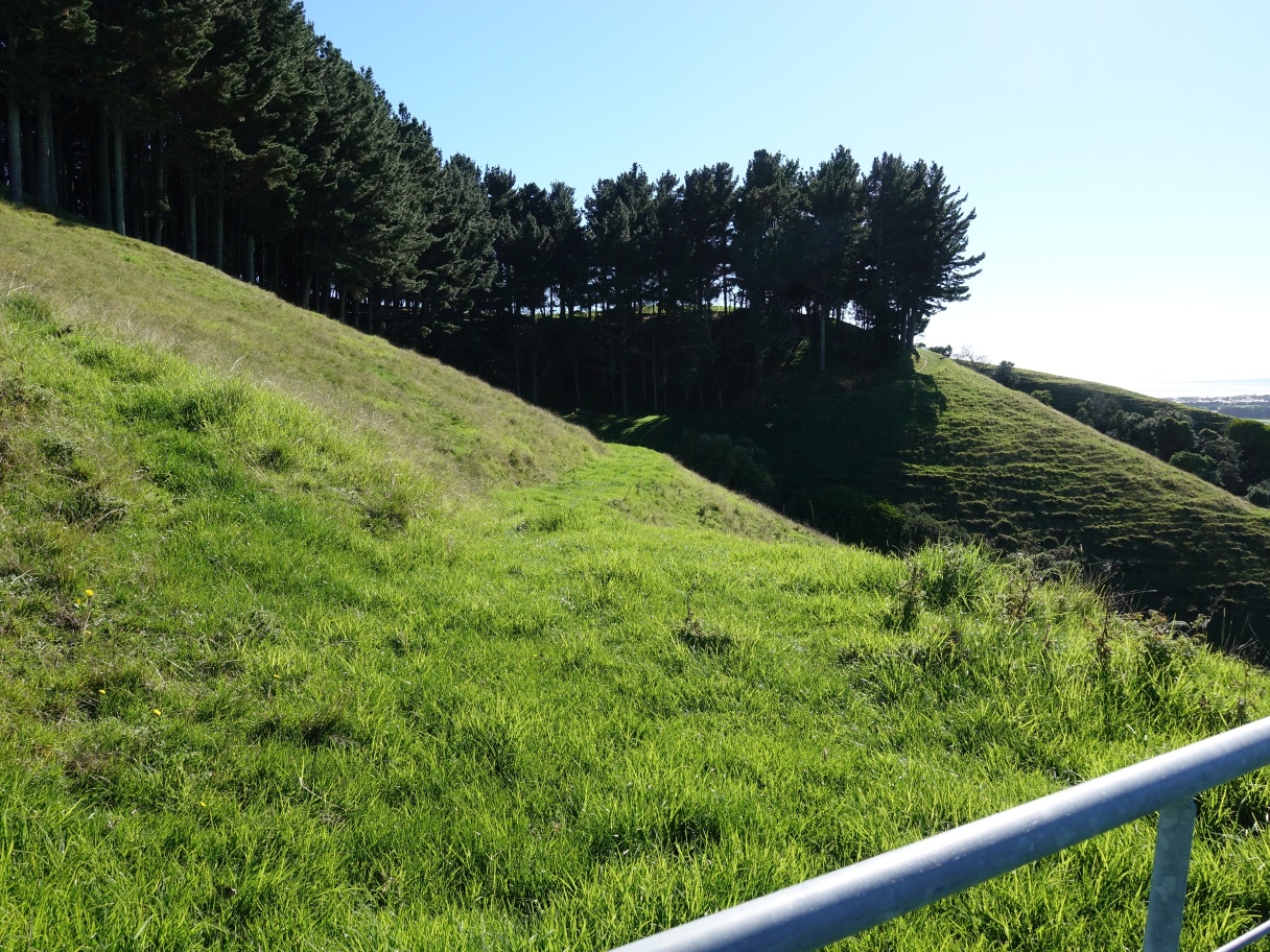
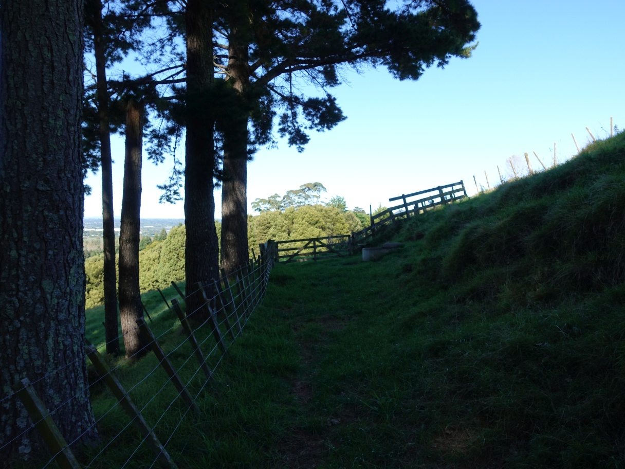
The summit track continues through a small area of native bush before Maraeroa Track branches off.

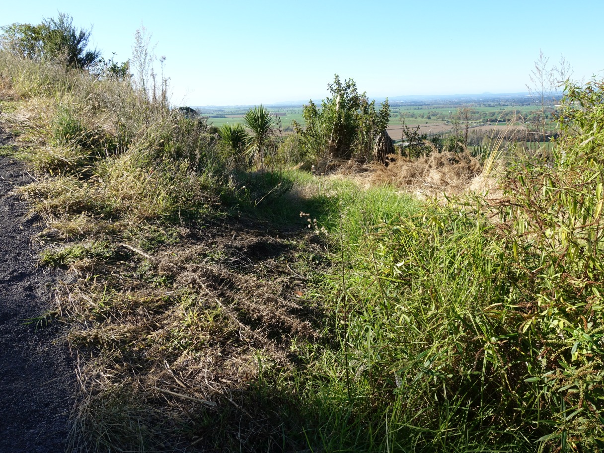
After passing through the bush area the summit track (with the edge of the track seen on the far left) continues uphill. It’s not obvious as there is no signage, but this is the point marked B on the map, with the start of Maraeroa Track branching off to the right through the grass and weeds.
The track is an old farm track. On previous walks the grass has been long, but here it has recently been cut and possibly also sprayed. The first part of the track passes through an area replanted with native plants.

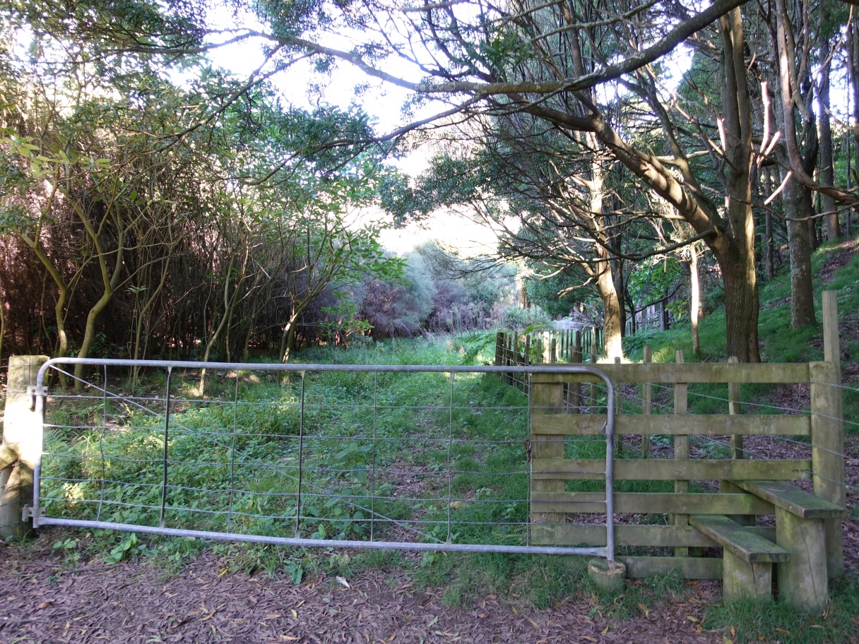
After a short walk through the planted area there is a gate, with the track continuing through farmland where there may be sheep or cattle grazing.
The farm track continues along the hillside to Maraeroa Pa site behind the tree on the right. The track continues through the gate and down the ridgeline to the right.

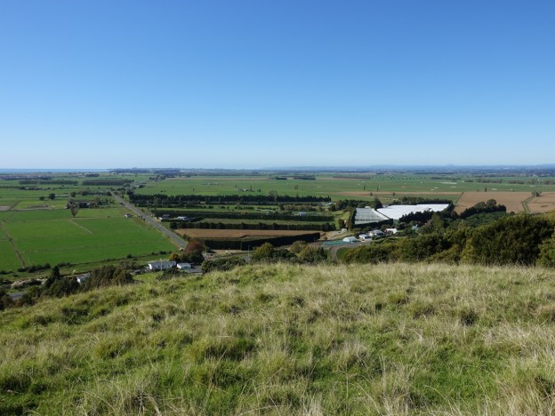
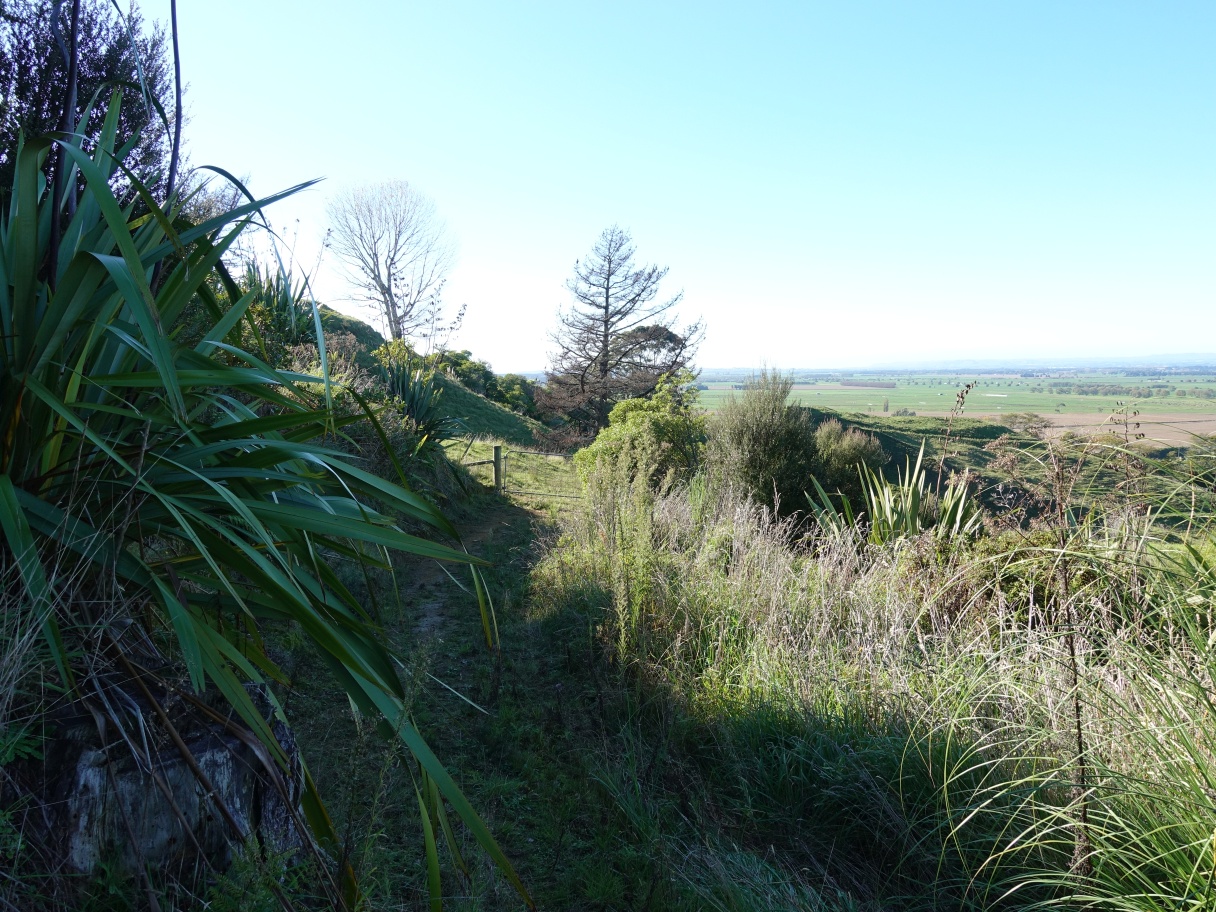
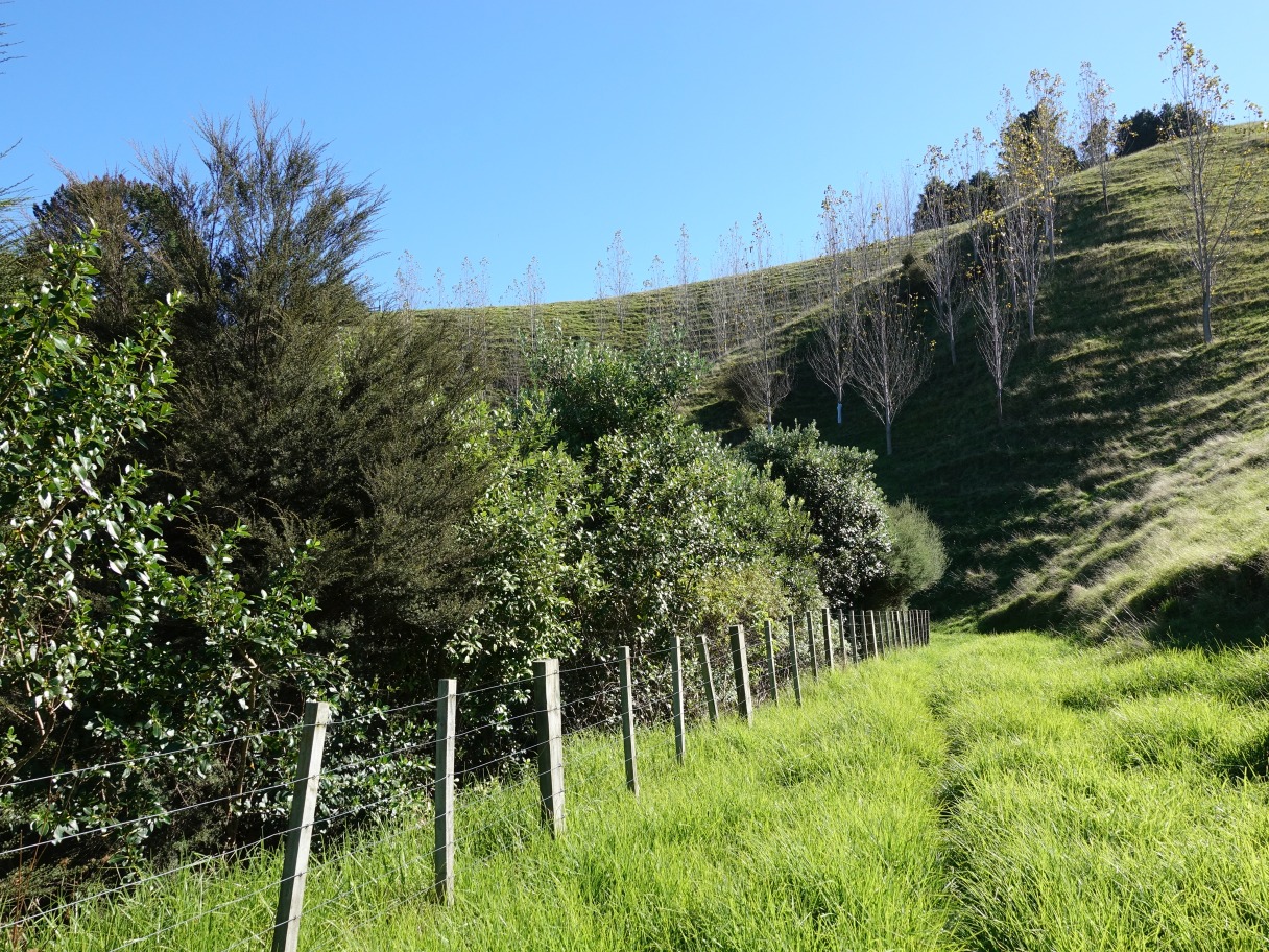
The track runs alongside the fence to the left. There are views of the Pacific Ocean and offshore islands such as Whakaari/White Island from many locations along these tracks.

The track continues down the ridgeline, past another pa site. It’s possible to walk on either side of the mound.

The tracks on both sides converge before continuing to the left of the fenceline which starts in the gap between the trees.

The track continues alongside the fence and to the right of the water tank and power pole.
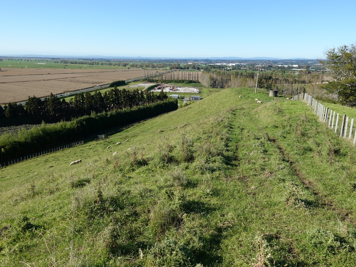
Near the bottom of the ridge the track takes a very sharp turn to the left. Here looking back along the track to the left with the power pole visible on the horizon, with the track continuing on the far right. This is the point marked C on the aerial photo map and later on the GPS tracklog.
The track passes through a gate and continues straight ahead alongside the bamboo hedge.
The track continues below the redwood trees seen on the left and through the opening on the right.

The track continues to the left of the stock shelter or haybarn –
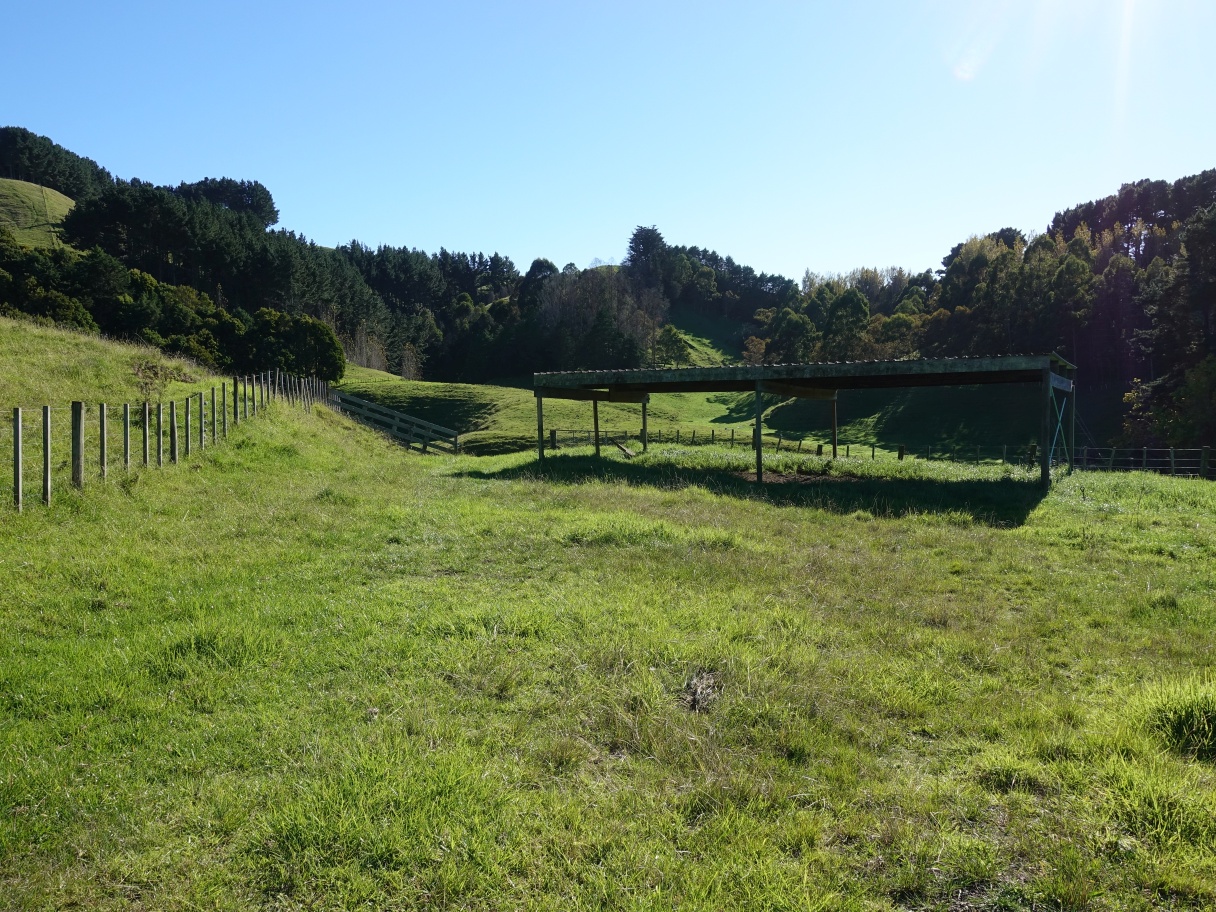
and through a gateway before following the fenceline down to the bottom of the valley. There is another gateway just visible at the right-hand end of the fence on the valley floor. The Maraeroa Track map shown on the information panel has the track crossing over a small stream at the left-hand end of that fence, but crossing there is not possible.

After following down alongside the fence-off stream with plantings, seen on the left, there is an opening where the track crosses over a culvert and continues alongside another fence to a stile and gate in the distance.
The track makes a left turn over the stile or through the gate, crossing over the ridge behind it.

Looking back towards the shelter/hay barn on the horizon on the left, the fence which the track follows down the hill at the centre, and the fenced-off area where the track perhaps once crossed over the small stream.
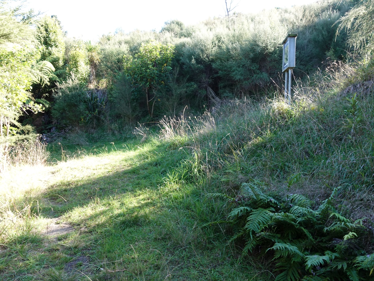
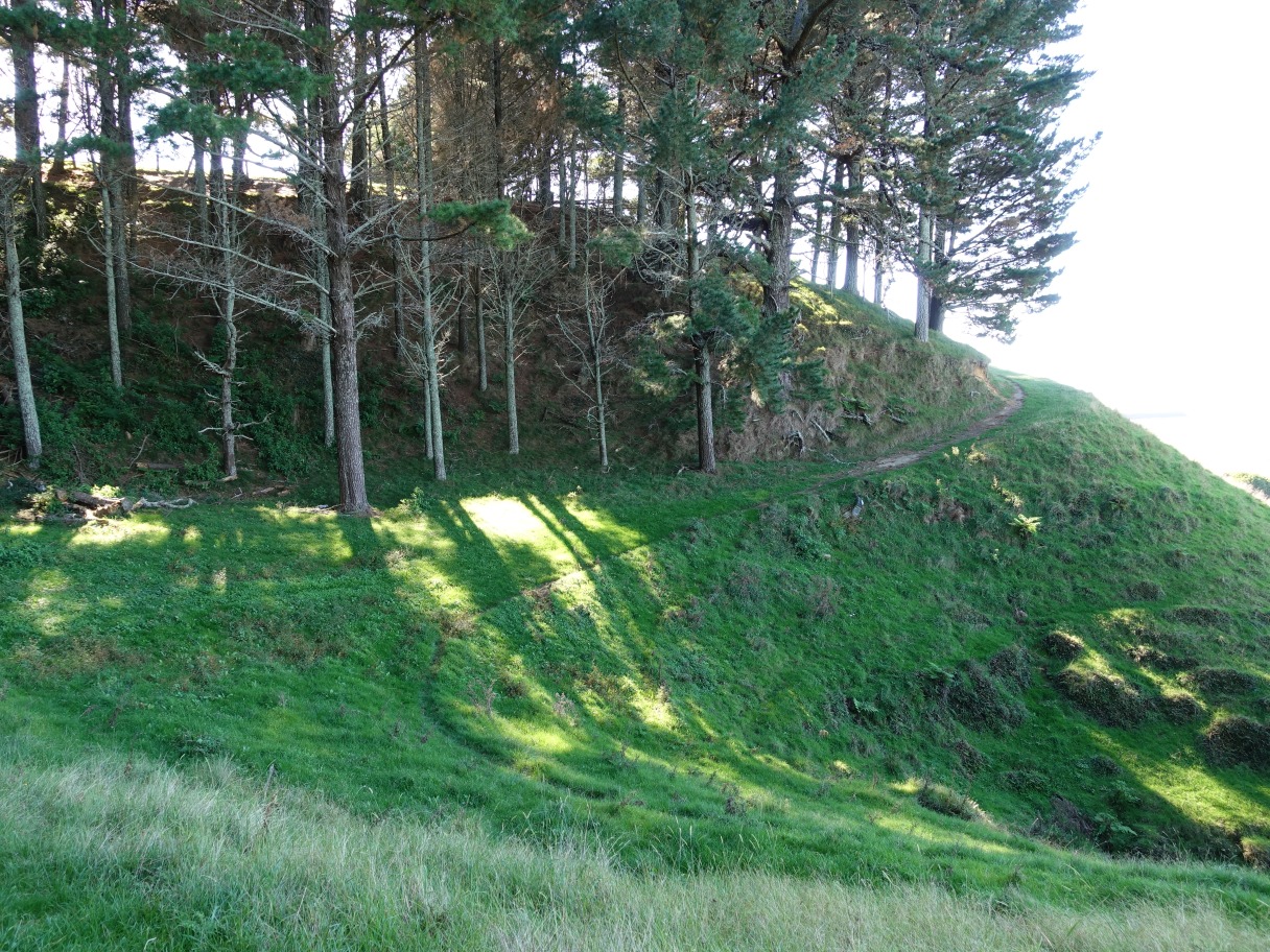
The track drops to the valley floor and enters the bush area just beyond the end of the fenceline at the centre of the photo.

From here the track continues through the bush before joining up with the Puriri Track and Valley Track.
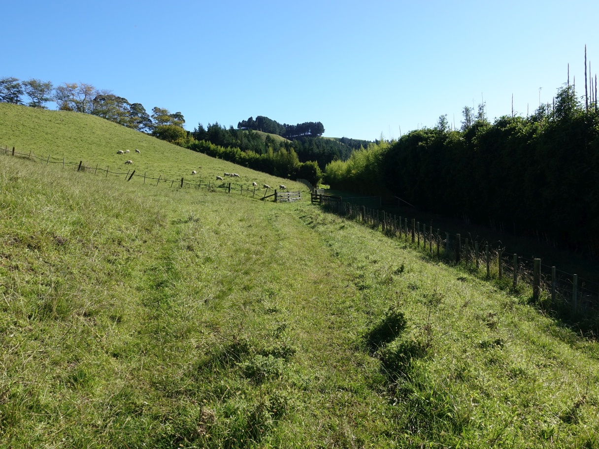
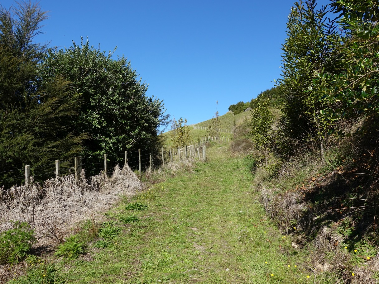
The grass can be quite long, but the track is still easy to find as it follows an old farm track. Here it branches off sharply to the right.

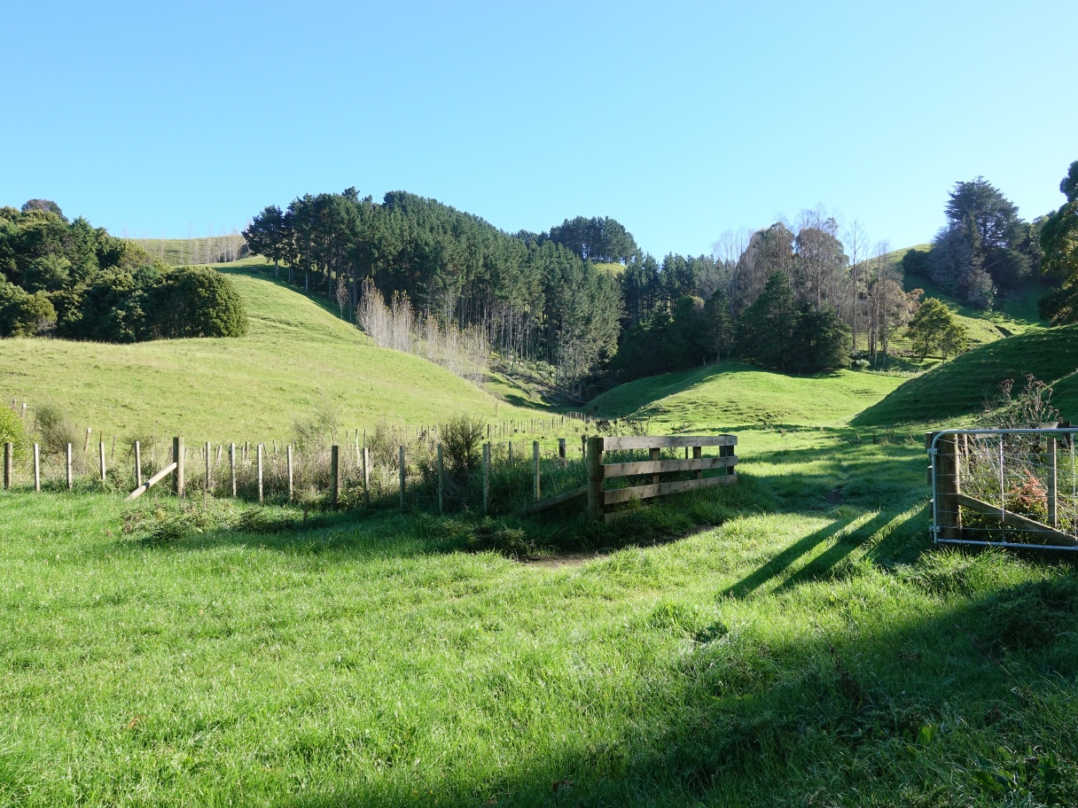
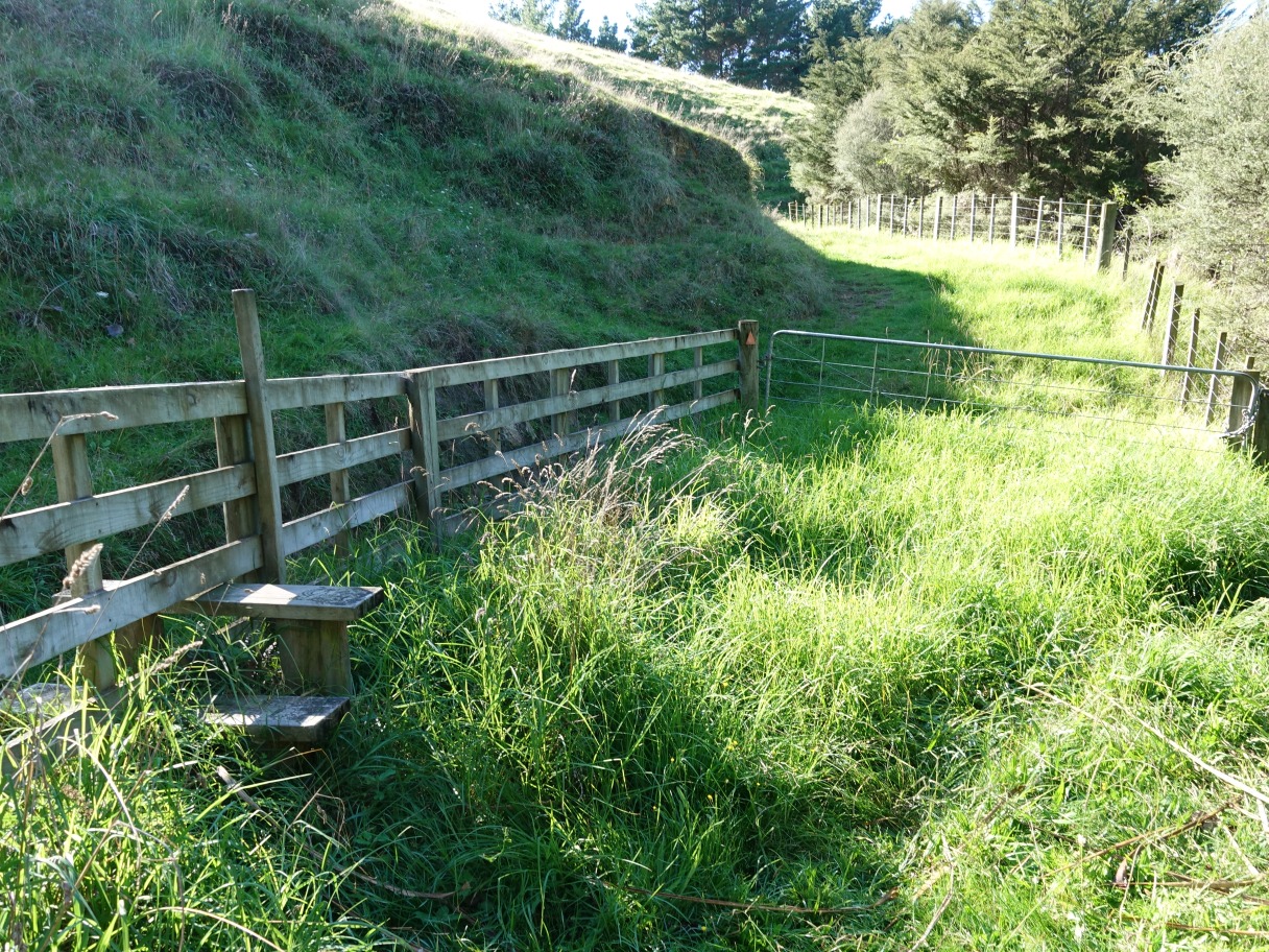
It continues uphill, occasionally quite steeply, until reaching an opening where Puriri Track branches off to the right, and Maraeroa Track continues to the left. This is marked as point D on the maps.
Still at point D, Puriri Track runs alongside the fence on the far side of the gate. A stile is also provided.
Maraeroa Track continues through the trees towards the end of Valley Track and the point marked as E on the maps.

At point E Valley Track branches off uphill to the right, behind the sign with an aerial view of the tracks. Maraeroa Track continues ahead to the left.
The aerial photo on the panel shows the locations of Valley and Puriri Tracks on the right, and the summit track at lower left, but no route for Maraeroa Track.

Valley Track rises quite steeply from point E before a stile crossing and open farmland where the track continues along the side of the hill.
Over another stile or through the gate the track continues along the hillside and below the trees, exiting by the tree on the far right.
After passing the trees the track continues downhill to the right of another fence. There is a stile and gate and another photo map of the track, with a very large puriri tree to the right. There is a gravel farm road just visible above the gate.

Puriri Track starts somewhere near the bend in the farm road to the left, and continues through the paddock and behind the large puriri tree on the far right. There is no marked track and no obvious route to follow through the paddock.
The destination of the paddock walk is the stile or gate seen here. Te Houawe pa site is seen behind the gates just ot the left of centre. The trees on the right are on private land, and are not part of the regional park.

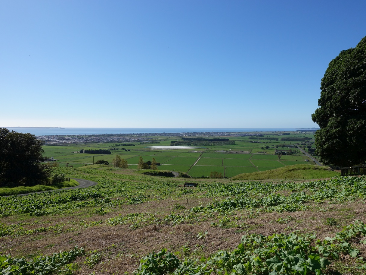
Looking from Te Houawe there are extensive views across the plains to the ocean. Te Puke Highway is visible at the bottom of the hill, with Bell Road branching off upwards to the left.

Looking back from Te Houawe, with the large puriri on the far right, and the stile/gate to the right of centre. Puriri Track continues from the stile/gate towards the left alongside the trees.

Puriri Track follows the trees for a short distance before branching off to the right on an unmarked track. The track continuing down the fenceline to the left ends in private property.
Not far from the branch shown above there is a water tank, a gate, and an information panel with an aerial photo map. The track continues through the gate and alongside the trees.

Puriri track loops down the valley floor and down behind the trees in the lower left corner. Valley Track is up near the top of the photo, passing below the trees at upper left.

The track continues alongside the trees and a fence, with another gate and stile.
From the gateway a short stretch of open farmland leads to another gate/stile before the track branches off sharply to the right and to the trees on the far right.

Puriri Track follows another fenceline down towards the junction with Maraeroa Track, shown as point D on the maps.
Back at the junction shown as point D. From here the walk continues along Maraeroa Track again to point E.

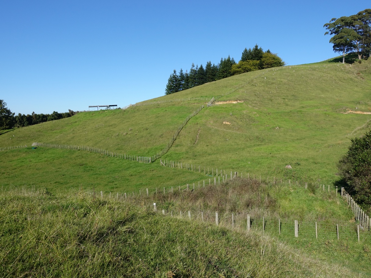
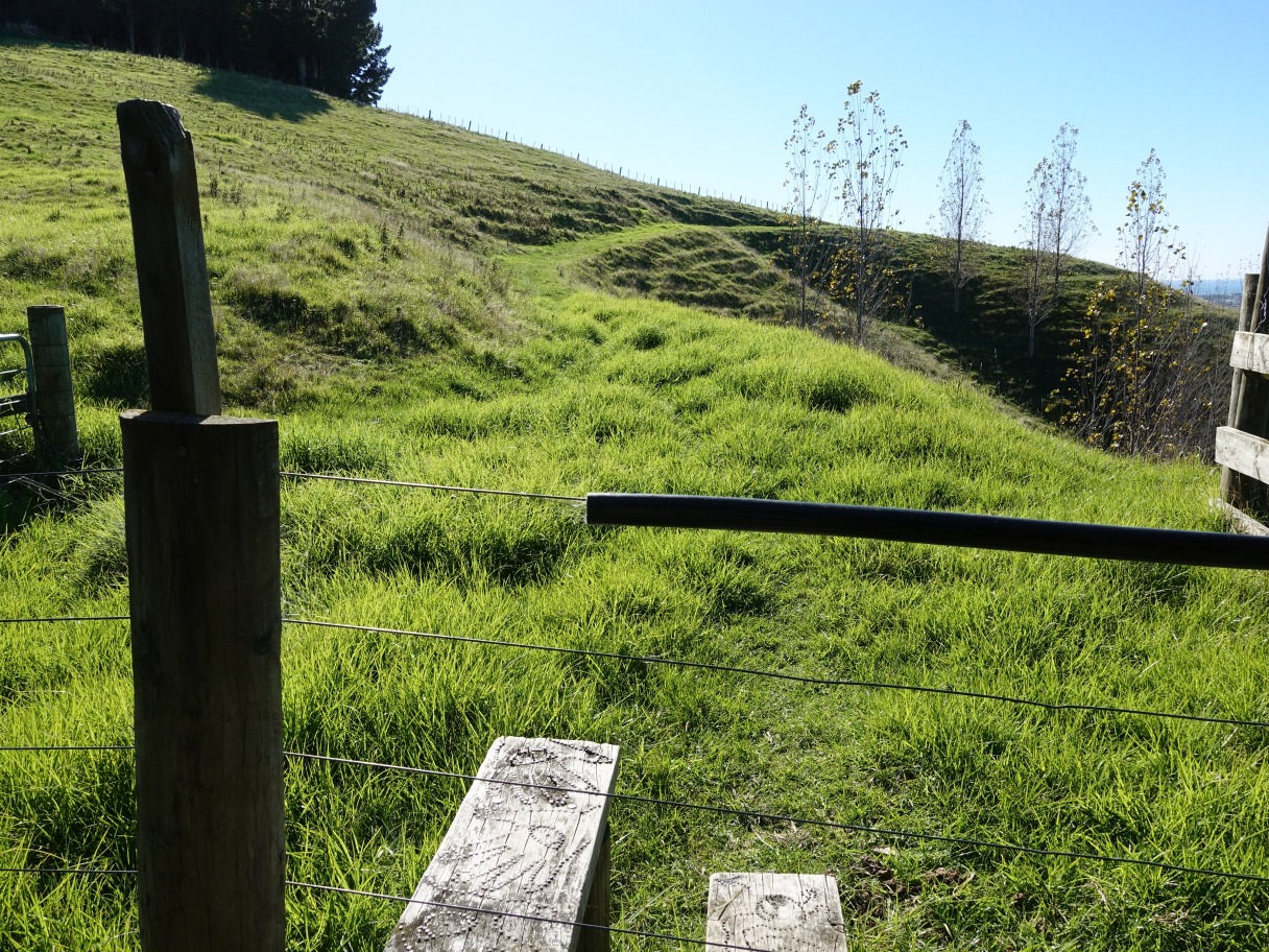
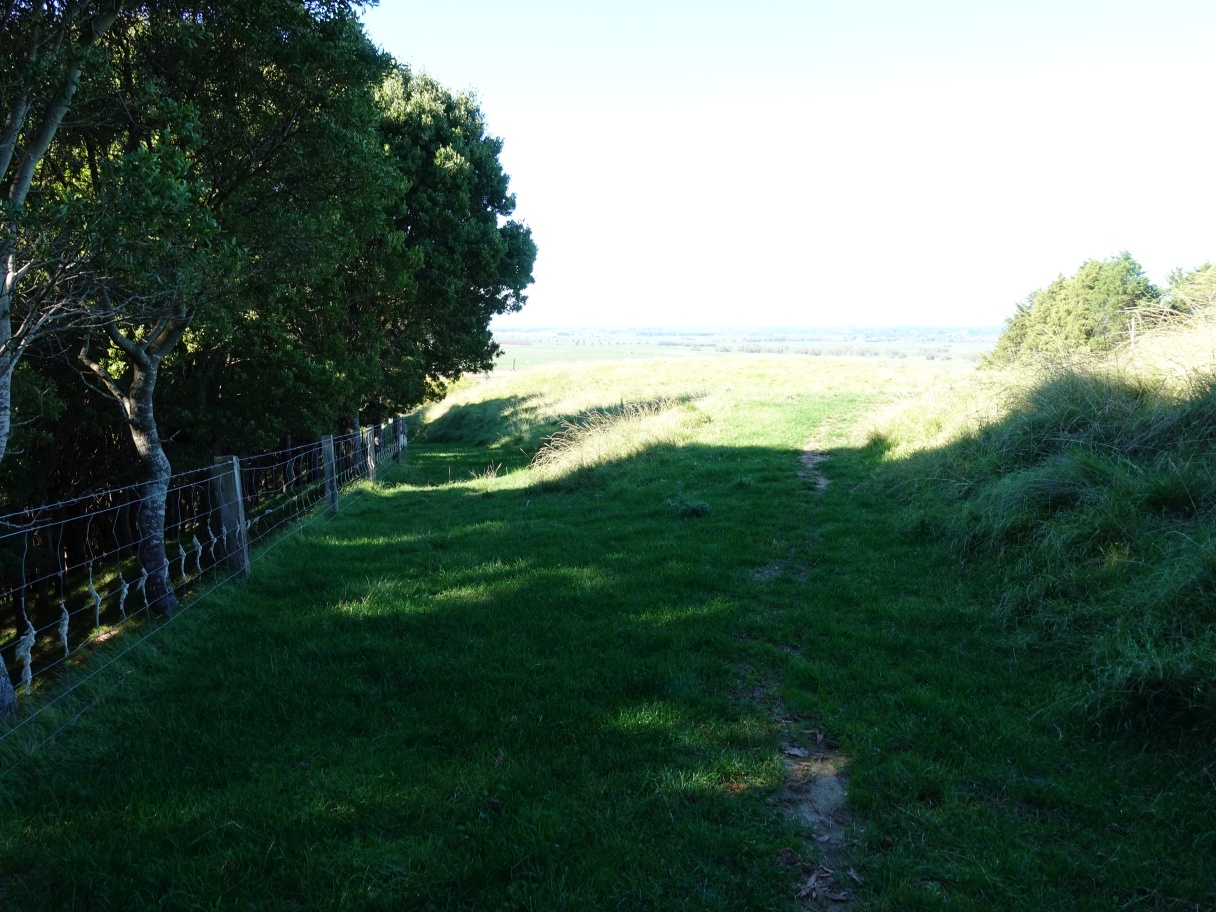
From point E, the junction with Valley Track, Maraeroa Track starts an uphill climb to the Karangaumu Summit Track.
The end point of Maraeroa Track, with the summit track heading to the summit which can be seen on the horizon the centre, and heading back down to the carpark through the gate on the far left, under the information panel.

Looking back from the track end, Maraeroa Track is the one following the fenceline down on the lower right, and Te Rae O Papamoa Track going through the gate at left of centre.

The GPS tracklog shows the route followed, with points marked and tracks named. Total distance walked was about 6.6 km for a total time of 2 hours 15 minutes, including time to take over 100 photos.
Maraeroa Track from point B, through C, D and E and ending at I has a total distance of about 2.9 km (2.3 shown on the information panel) and would have taken about 1 hour if walked without the Valley and Puriri tracks loop. Valley Track is about 675m long and took about 15 minutes, with Puriri Track, including the side excursion to Te Houawe, was 1 km long and took about 20 minutes. The remaining time and distance is due to the short stretch from point D to E traversed twice, and the summit track from the to the carpark.
The elevation profile shows the approximate elevations of points along the track, with the carpark being the lowest at about 20 metres above sea level, and the two highest points just over 130 metres a.s.l.

The aerial image from Google Maps must be some years old, since it shows the area above and around the carpark as pine forest. This forest was felled in late 2016 and early 2017, with park access being closed off at that time. The points shown on the GPS tracklog have also been entered on this image.
The tracks were walked on May 2, 2021 after a couple of previous attempts to locate the correct route for Maraeroa Track.
