Te Ara O Wairakei in Papamoa, also known as the Papamoa Drainage Reserve or Papamoa Stormwater Reserve, is a collection of reserves in Papamoa running parallel with the oceanfront, with cycleways/walkways running through them. Currently Te Ara O Wairakei is divided into two completely separate parts. The longer part runs for about 6 km from near Parton Road to Pacific View Road. The shorter part in Papamoa East runs for about 1.5 km from near Mandalay Key to Gibson Place.
The part from Parton Road to Pacific View Road has been described in two previous posts – Papamoa Beach, Wairakei, Topaz Drive Reserves and Papamoa Drainage Reserve – Domain Rd to Pacific View Rd before the name change to Te Ara O Wairakei. This post describes the separate part of Te Ara O Wairakei in Papamoa East.
From the main walkway/cycleway there are side exits leading to streets alongside the reserve. These accessways are also designated escape routes in case of tsunami warnings. The main walkway/cycleway crosses over Palm Springs Boulevard and Golden Sands Drive, and across the southern end of Golden Shores Drive. The bike ride started and ended at Golden Sands Drive, where parking is also available nearby. First heading east and then heading to the western end before returning to Golden Sands Drive.
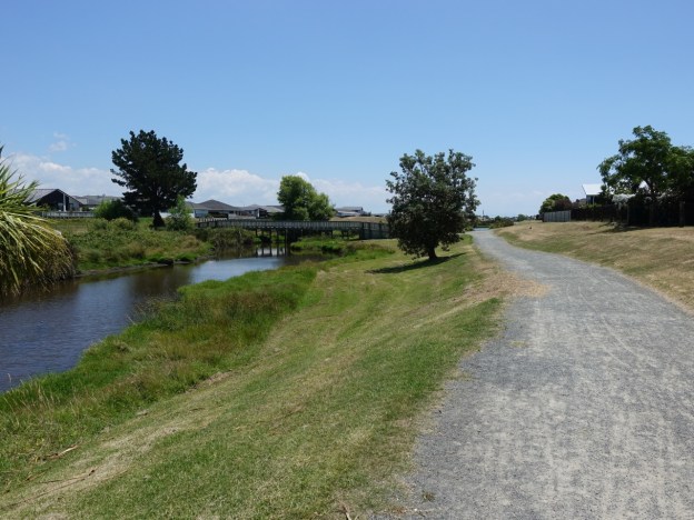
The entry to the eastern end of the Papamoa East Te Ara O Wairakei cycleway/walkway, looking from Golden Sands Drive.

The main track is wide, well formed and well maintained. At each side track to nearby streets there is a sign with distance and direction to a tsunami safe area.

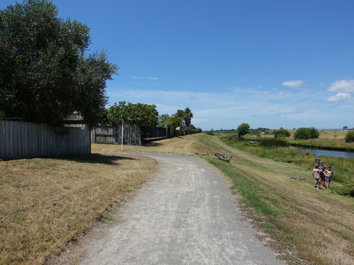
There are no shade trees alongside the walkway/cycleway, but some older trees on the opposite side of the water. Fishing is not permitted.

Most of the side exits/entrances have formed tracks, but some of them just cross over a grass area.

The track crosses over the end of Emerald Shores Drive and continues for a short distance on the other side. It looks as if Emerald Shores Drive could be extended across the reserve at some time, perhaps joining up with Stevenson Drive as shown on some maps.
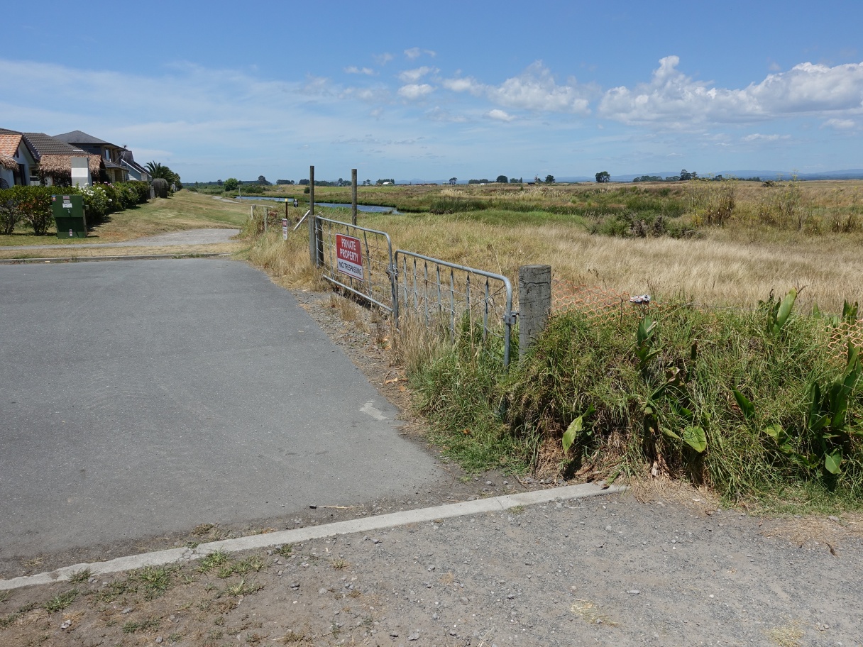
The end of the track as it turns off to Gibson Place. Presumably the track will be extended when new subdivisions are created further east.
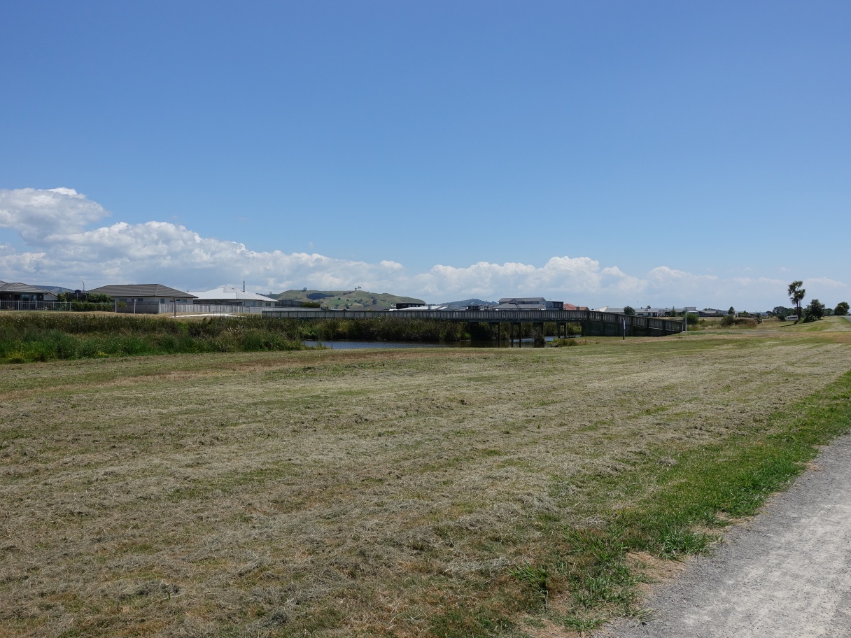
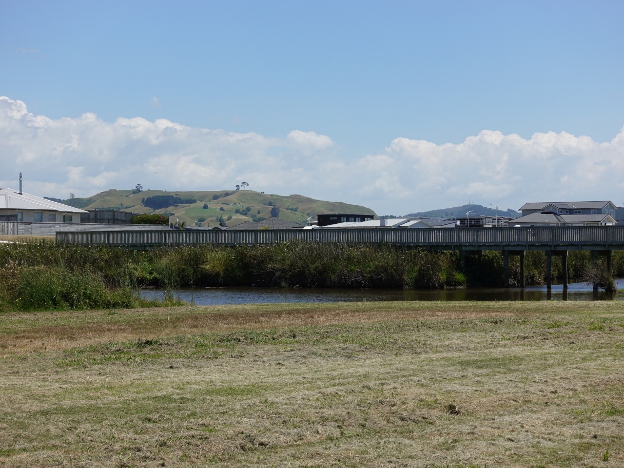
Apart from the roads crossing over the reserve there are two pedestrian/cycle bridges crossing over the waterway. This one crossing over to Harding Drive.

Back at Golden Sands Drive, looking west. Golden Sands School is on the right.

There are information panels alongside the track. This one has an aerial photo of a flooding event where large parts of the reserve were flooded.

This foot/cycle bridge connects up to Kapuka Street and a short section of track that runs parallel to the main track, from Kapuka Street to Palm Springs Boulevard. The Papamoa Hills Cultural Heritage Regional Park can be seen in the distance just to the left of centre, with Kopukairua further in the distance to the right of centre.
A telephoto view of the Papamoa Hills park and Kopukairua with transmission masts on the summit, and the footbridge in the foreground.
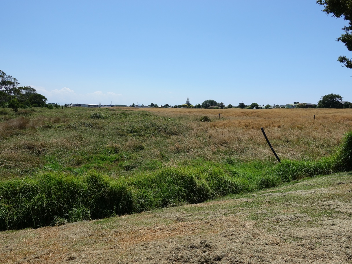
The western end of the Papamoa East section of Te Ara O Wairakei walkway/cycleway. Houses on Mandalay Key are behind the fences on the right.

There is room to extend the walkway/cycleway so that it would join with the short part to the east of Parton Road, but no apparent immediate plans to do so.
The GPS tracklog shows the routes followed, including all the side tracks to nearby streets. The total direct length, with no side tracks, from one end to the other is 1.5 km.
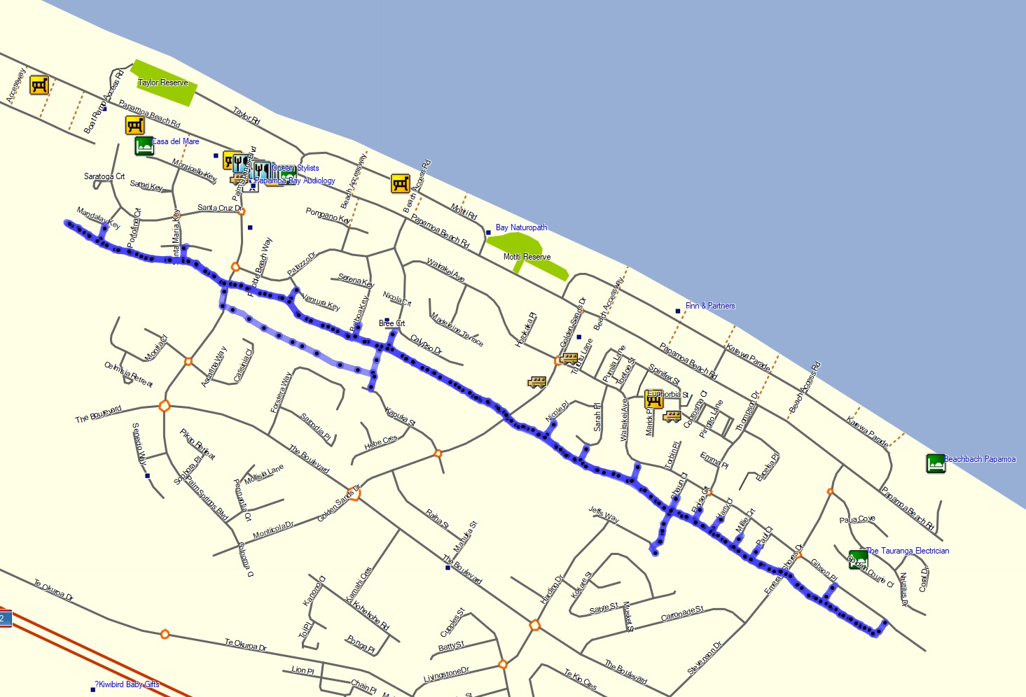
The aerial image, from Google Maps, shows the same area as the GPS tracklog. It has some new streets marked, but the image was taken before the roads were constructed.

The tracks were ridden by e-bike on January 14, 2021.
