
Note, January 2022: Access from Hicks Rd was removed in 2018 due to the access privilege across private land being abused. Access has now been reinstated (see comment at end of post) so PLEASE do not abuse the privilege so that it gets to be closed permanently. Thank you. Also see the comments at the end for updates to the parking and facilities at Hicks Rd.
Sanctuary Mountain Maungatautari is a mainland ecological island surrounded by the world’s longest pest-proof fence. It provides a sanctuary for populations of many of New Zealand’s most endangered species – from birds to bats, frogs to reptiles, tuatara to giant weta. There is an information centre at the southern entry, on Tari Rd, off Arapuni Rd. The northern entry is accessible from Hicks Rd, off Maungatautari Rd.
Tracks lead across the mountain, with access from these to the summit of Maungatautari at 797 m asl and Pukeatua at 753 m asl. There are views of the surrounding area from Pukeatua summit and the nearby rocky outcrop, but none from Maungatautari summit. An earlier post covers the walk from the southern entry to the summit of Pukeatua and the rocky outcrop.
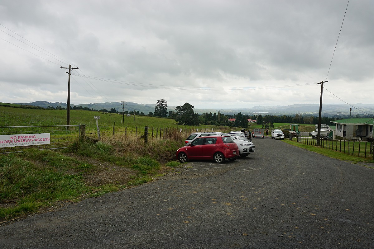
The easiest access to the summit of Maungatautari is from the northern entry, accessible from Hicks Rd. There are no facilities other than a carpark area on Hicks Rd.
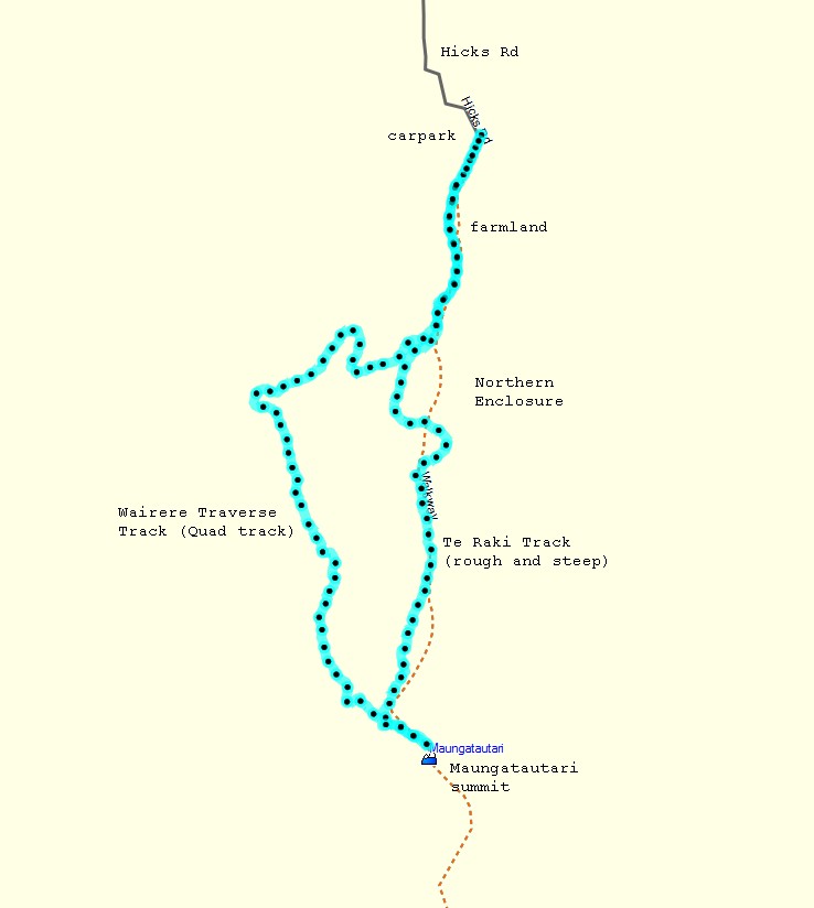
There are two tracks leading to the summit from the northern entry. The original track, now called Te Tari Track, is mostly steep and rough. The new track, called Wairere Traverse or quad track, was constructed for quad bike access between the southern entry and the northern entry. It is longer than Te Tari, but easier to walk. This walk was done using Te Tari Track from the northern entry to the summit, and then returning to the northern entry by Wairere Traverse track.
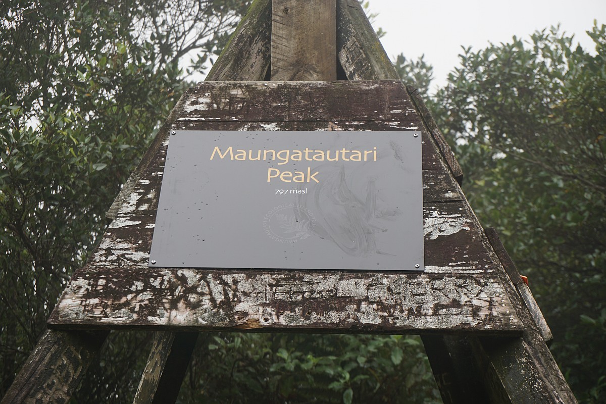
Total distance for the walk was about 8.1 km, with a time of 3 hours 25 minutes, including 25 minutes for a lunch break at the summit. The trig station at the summit is marked as being 797 metres above sea level. The parking area on Hicks Rd is about 250 m asl, making a total climb of about 550 metres.
The carpark at the end of Hicks Rd.
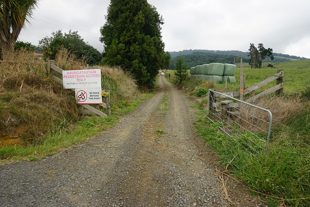
The first 850 metres or so of the walk is along a private driveway and across private farmland. This is the start at Hicks Rd.
At the end of the driveway there is a stile to cross, and on this occasion cattle to contend with on the farmland. Dogs are definitely not allowed on this walk.
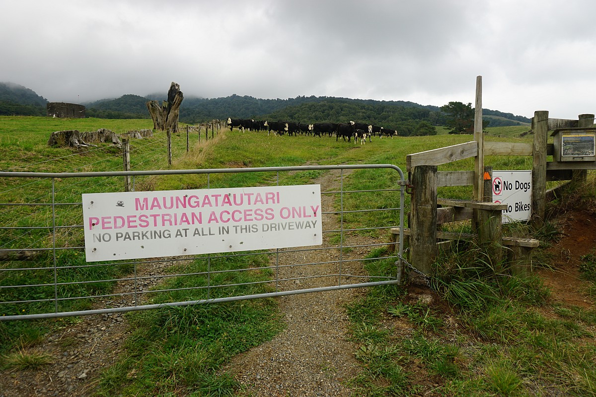
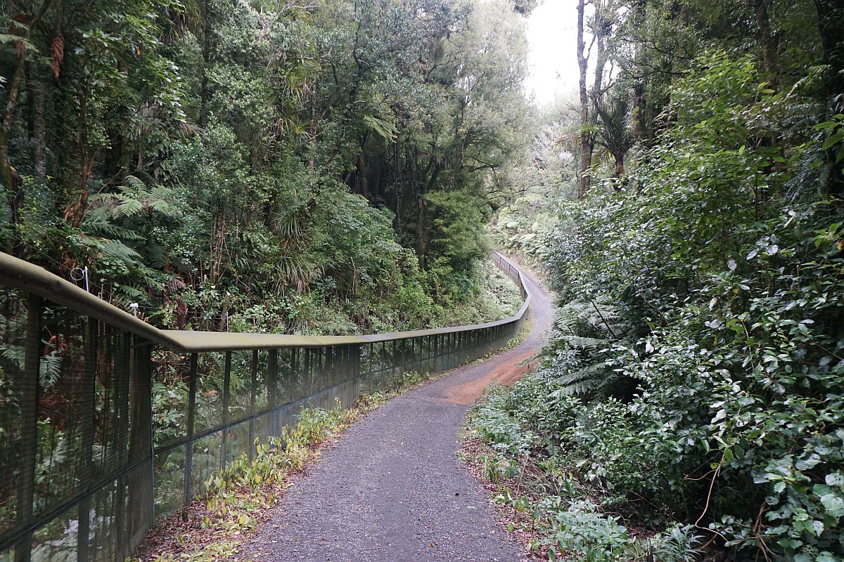
The track across farmland mostly follows some wheel tracks, although officially it follows the fenceline on the far right. The entry to the northern enclosure is left of centre, and the northern entry to the track across the mountain is on the right.

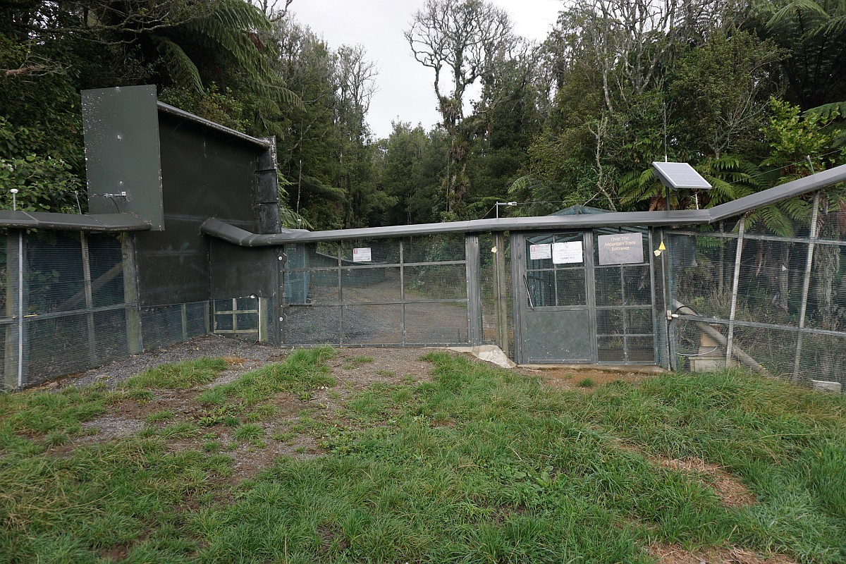
The entry to the tracks across the mountain and to the summit of Maungatautari. There is a small cage to pass through, which is also used to stop any predators, since one door must be closed before the other door will open.
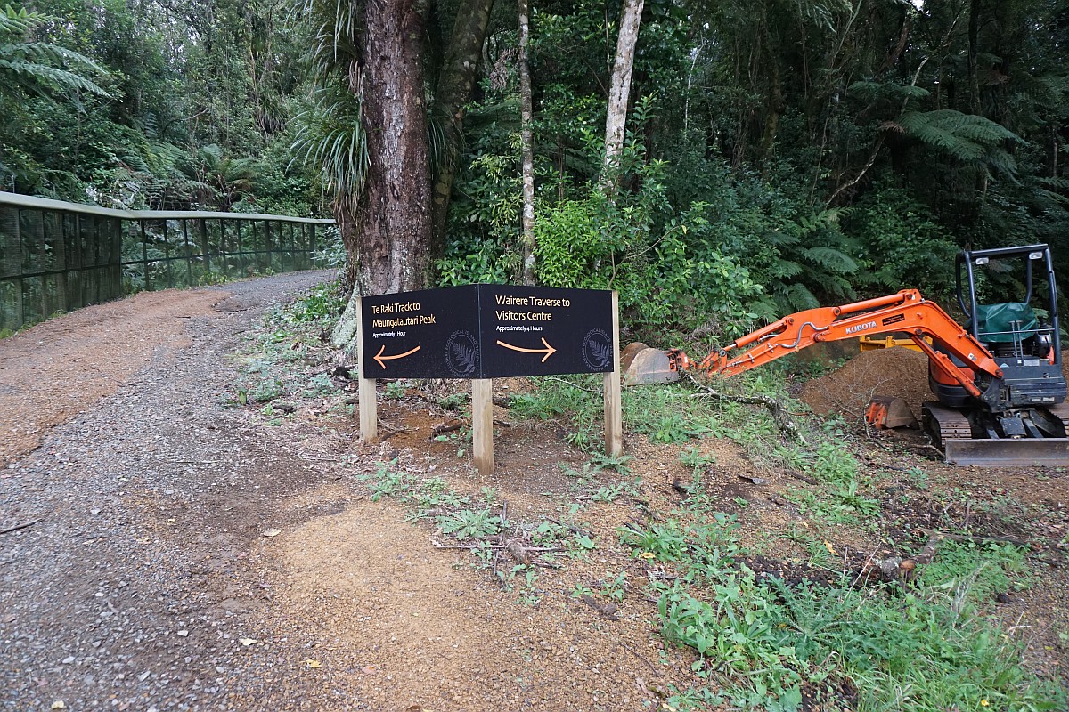
Near the entry the track divides in two, with the steep Te Tari track to the left, and the quad track, Wairere Traverse track to the right.
The first part of Te Tari Track follows the predator-proof fence surrounding the northern enclosure to the left.
A small sign on the right, and some arrows on the fence, mark the starting point of the steep Te Tari Track to the summit of Maungatautari.

The start of the track itself is not very obvious.
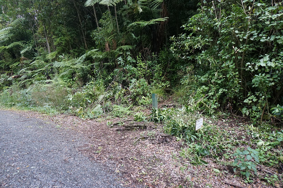
The arrows on the fence marking the track start.

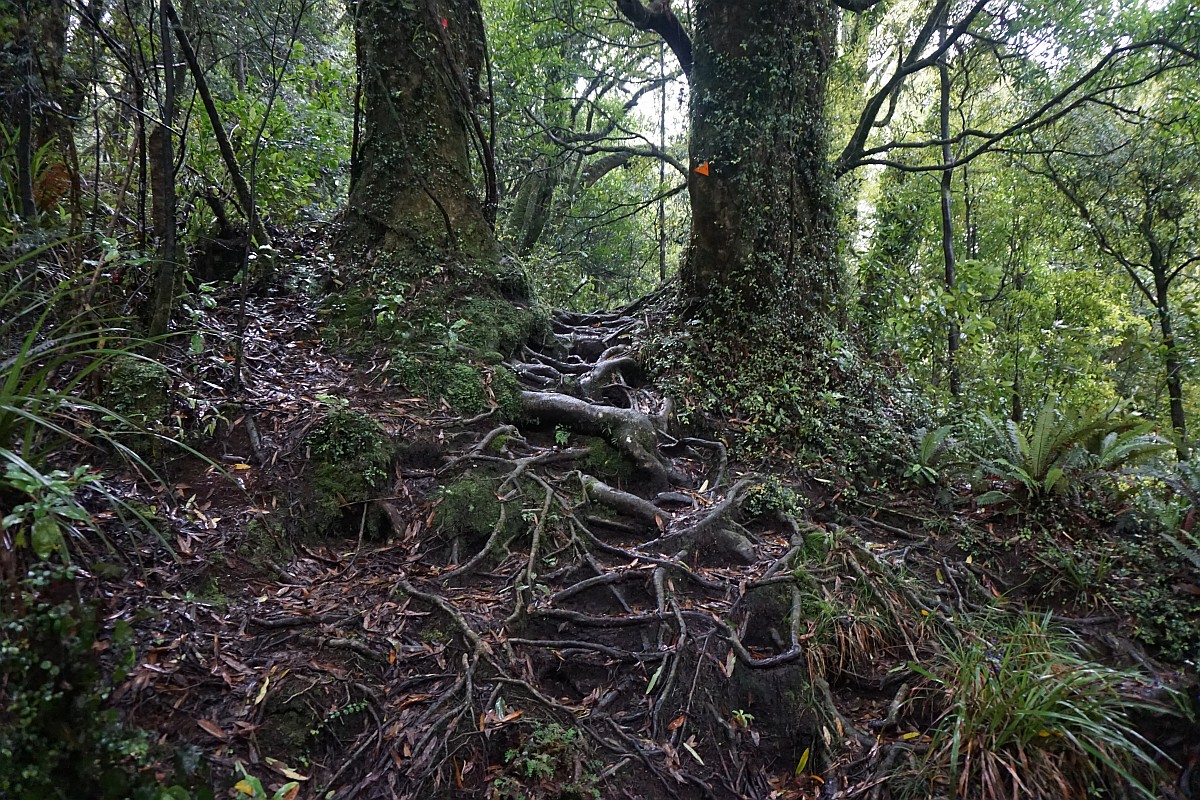
The track itself is well used and well marked, but steep and rough in places.
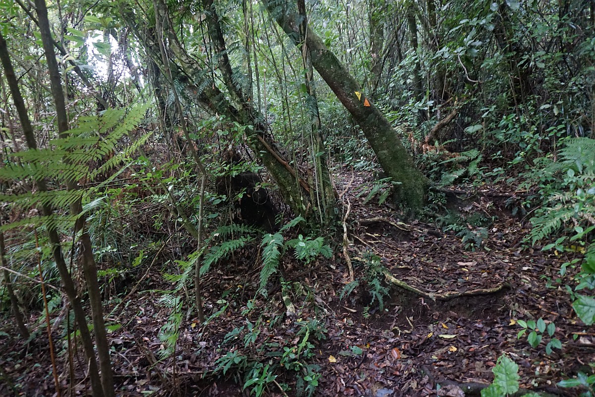
There are hindrances and natural barriers along the way which can be crawled over or under.
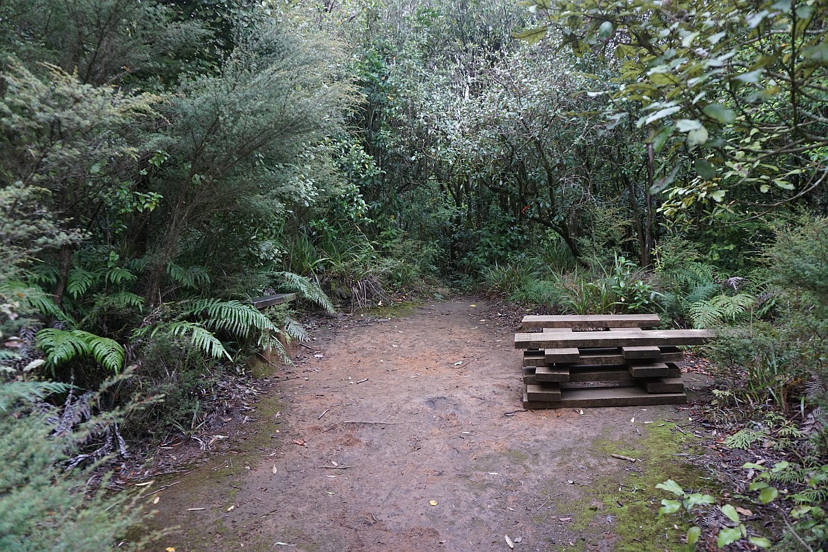
At about 500 m elevation a small clearing provides a seat and a suitable place to take a rest.
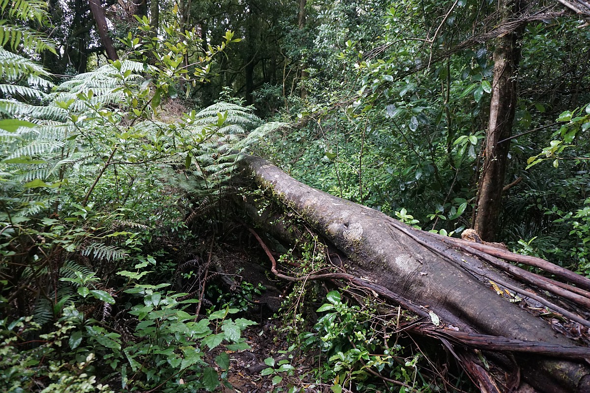
Another tree fallen directly across the track.

Tree roots provide good steps for some of the steeper parts. There are also a number of man-made steps in various places.
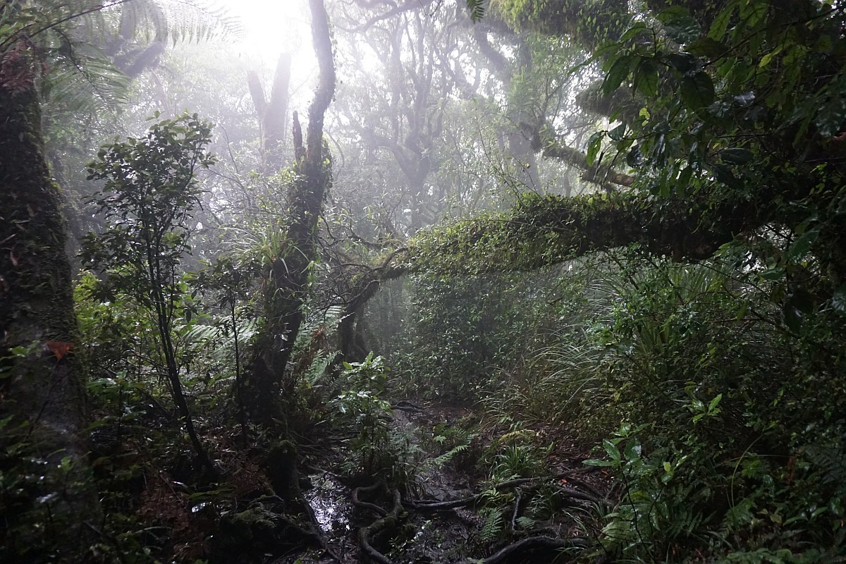
On this occasion the top of the mountain was shrouded in cloud, making for a misty forest.
After the quad bike track has been completed the old track junction has been closed.

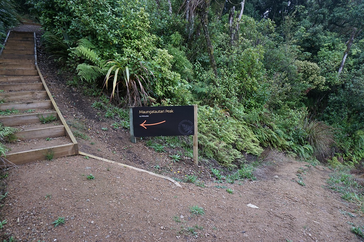
The new track junction, with a sign pointing the way to the summit of Maungatautari, and onward by Te Tonga Track to Pukeatua and the visitor centre on Tari Rd.
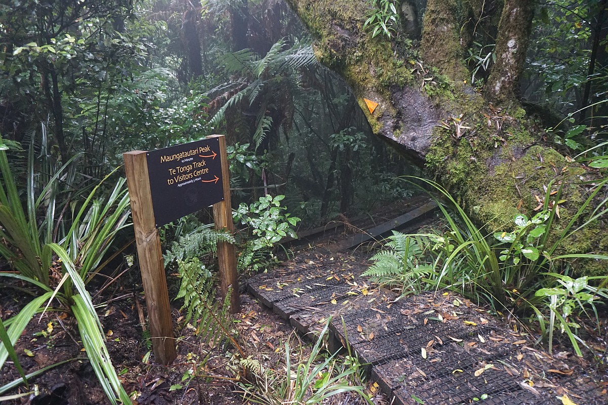
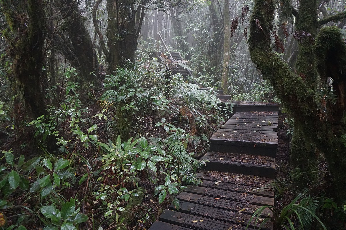
And a sign for the track back to the northern entrance. The last few hundred metres to the summit use a boardwalk for the track.

Unfortunately at this time there was no sign pointing the way to the Wairere Traverse track, which is only about 100 m away down the track leading straight ahead.

Approaching the summit on the boardwalk and stairs.
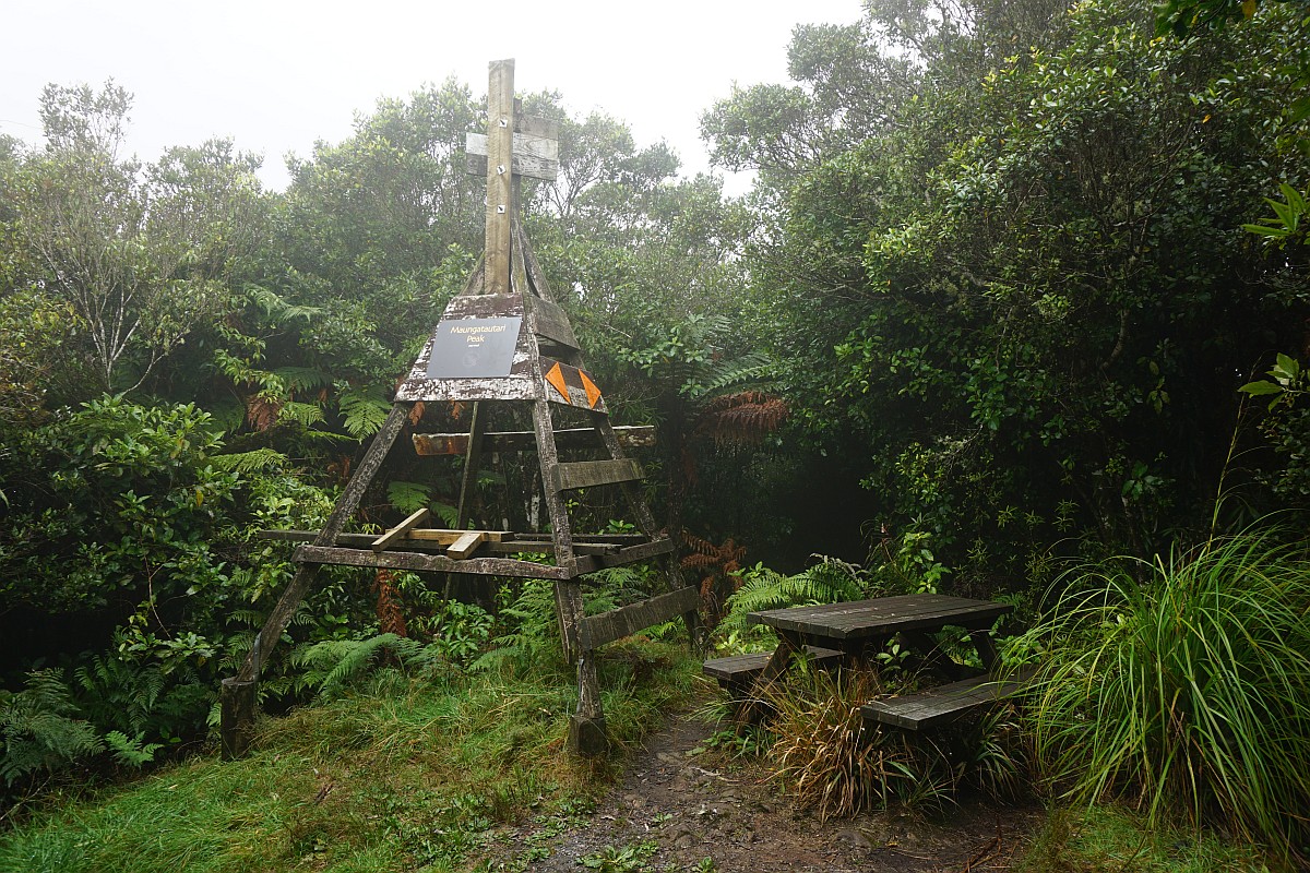
The old trig station and picnic table at the summit of Maungatautari. There are no views, even from the top of the trig station. Te Tonga track continues straight ahead past the trig.
The sign on the trig station showing elevation above sea level.
The set of steps leading down the unmarked track to the Wairere Traverse track.

The other end of the unmarked track is marked with a sign pointing to the summit track. The quad bike track to the right leads to the southern entrance and the visitor centre on Tari Rd.
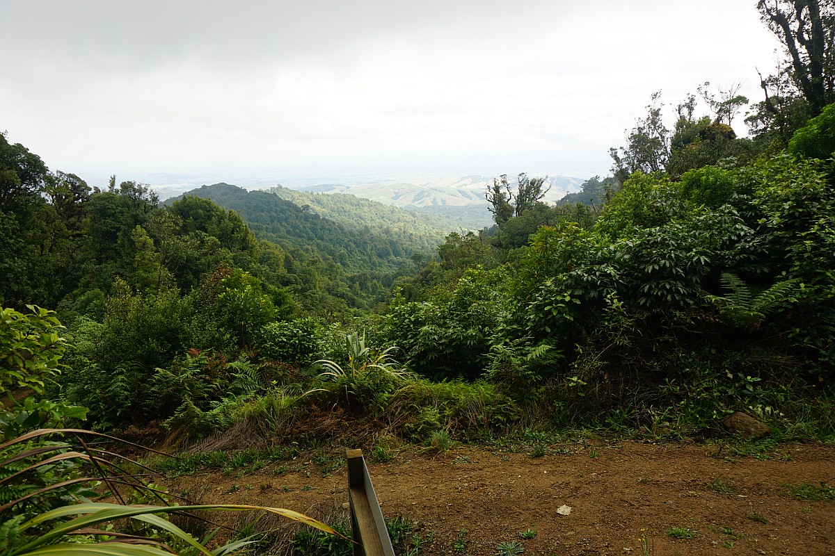
The quad bike track has views from a few locations. Here from the junction with the track leading to the summit. The quad bike track to the right leads to the northern entrance and back to the carpark on Hicks Rd. Pukeatua is the peak just to the left of centre, with the rocky outcrop in sunshine just to the right of it.
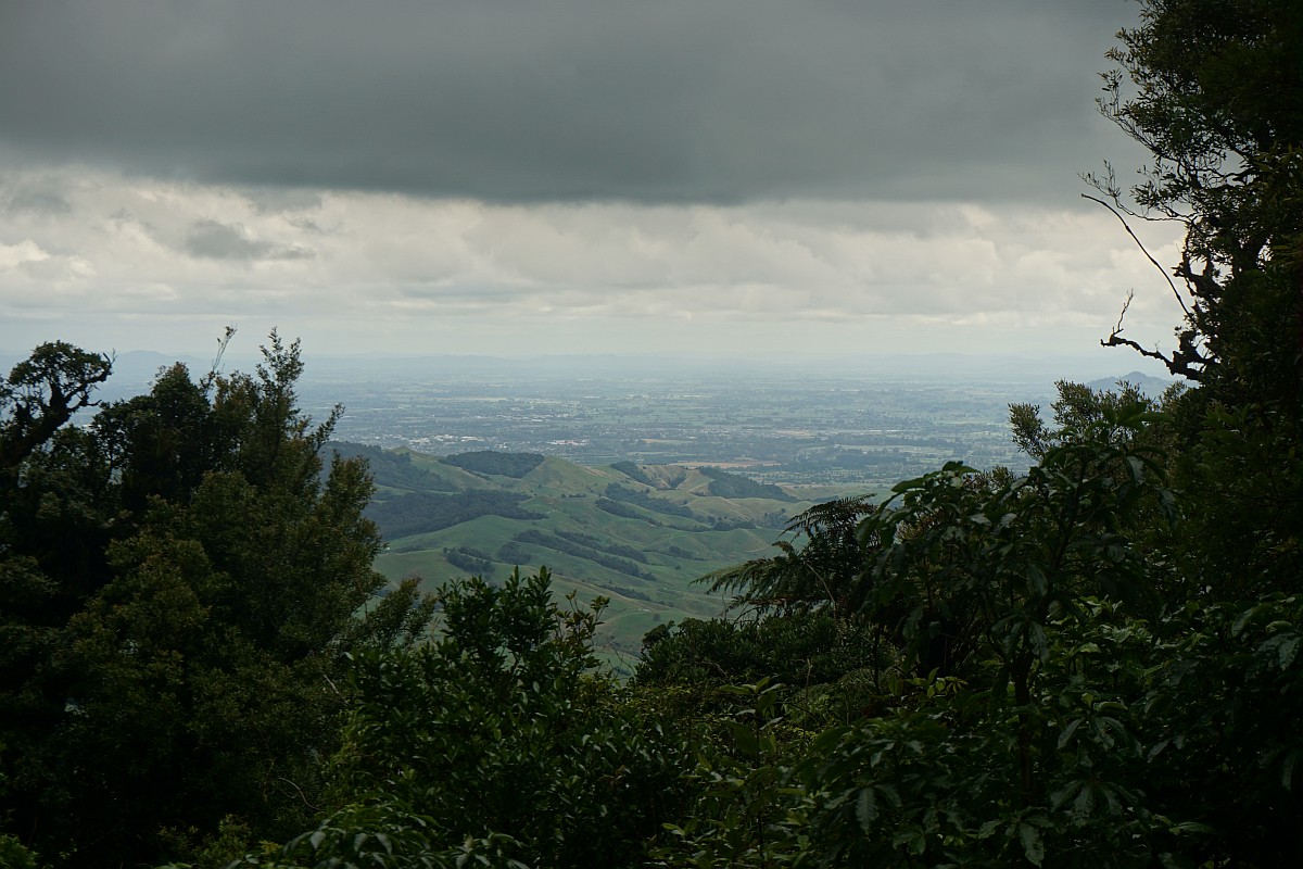
Views towards the east from a small lookout near the track.

And looking north-west from a nearby vantage point.
The quad bike track is fairly steep in places, and the gravel can be slippery when going downhill. But it is wide and well-formed.

There are bridges over two small streams along the way. The first one almost taken out by a falling tree.


Back at the junction with Te Raki track, near the northern entry.
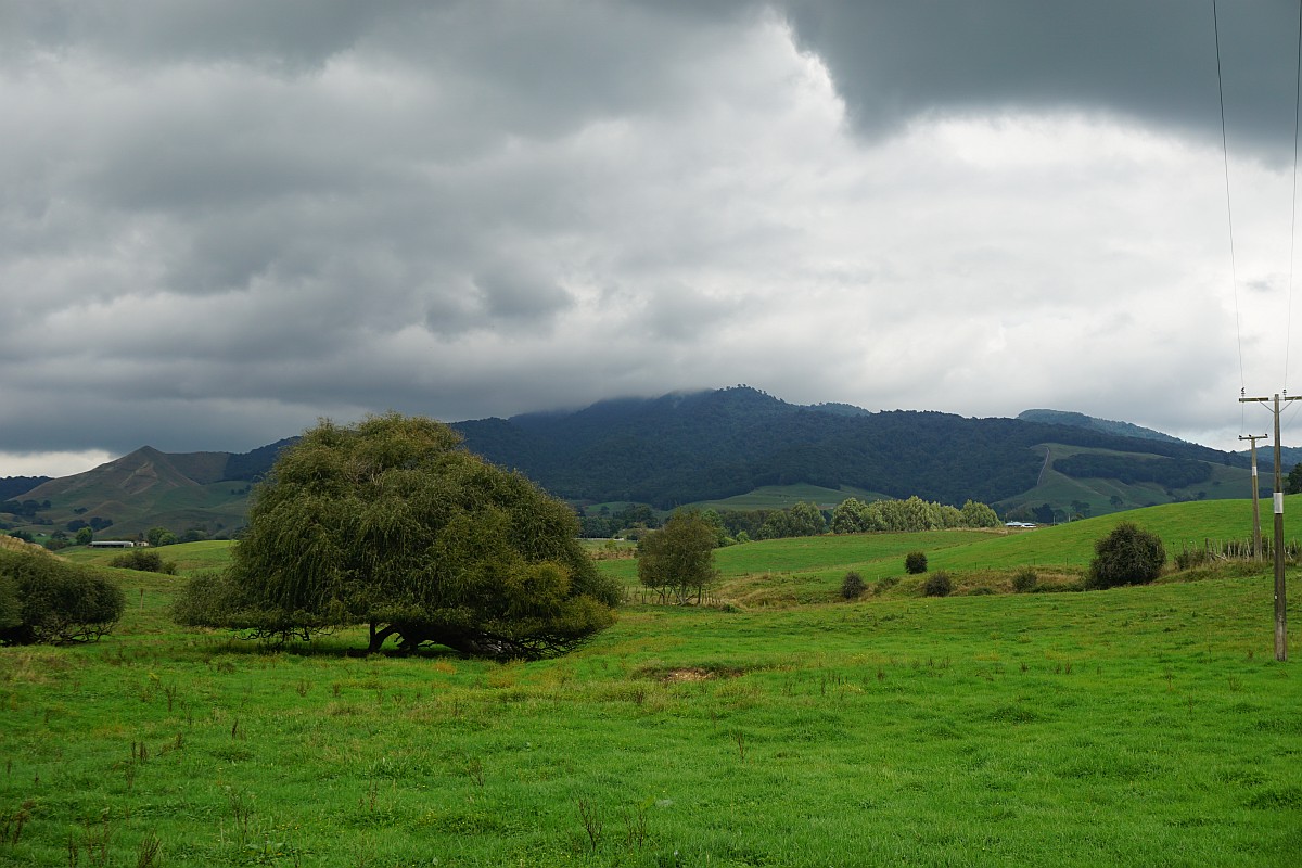
Sanctuary Mountain Maungatautari seen from Maungatautari Rd after the walk. Still with some cloud cover near the summit.
The GPS tracklog shows the route followed, with Te Raki track to the east, and Wairere Traverse (quad bike track) to the west.
Total distance was 8.1 km, with a total time of 3 hours 25 minutes, including a 25-minute lunch break at the summit. Individual distances and times were:
Carpark to northern entrance: 850 m, 15 minutes.
Carpark to summit, Te Raki Track: 3.6 km, 1 hour 40 minutes.
Summit to carpark, Wairere Traverse: 4.5 km, 1 hour 20 minutes.
Lowest elevation at carpark about 250 m, at summit 797 metres.
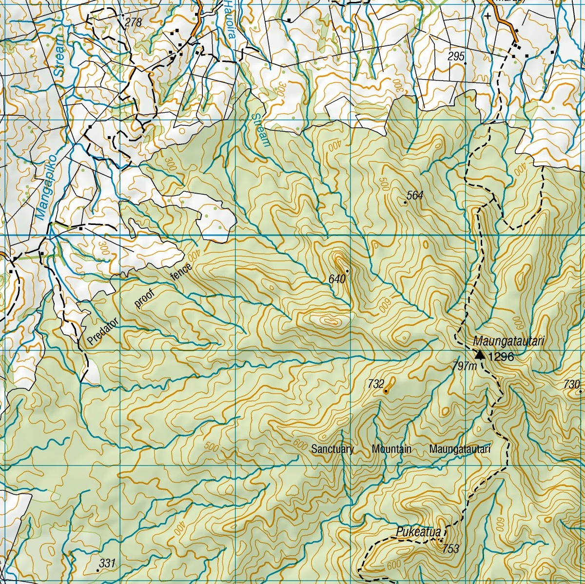
The topographic map shows Te Raki Track, but not the Wairere Traverse track. Hicks Rd is at the upper right corner of the map.
The track was walked on March 19, 2016.

Thank you for all your detailed notes and photos on so many walks. We too live in the Waikato and I find your website just wonderful, it has helped with the planning of lots of our hikes. Right now we are preparing to hike ‘Over the Mountain’ at Maungatautari. It is great to get walking times and to see what parking is available, and what the tracks are like. Keep it up!
LikeLike
Many thanks for the kind words. It’s great to hear that people are finding the information useful. I’m always open to suggestions for walks of up to about 5 or 6 hours that I haven’t yet covered.
LikeLike
Access from Hick’s Road is now closed. We turned up there this morning to find signs stating that there is no acccess across the farmland to the mountain and that trespassers would be prosecuted. We rang the Waipa District Council who told us to access the mountain walks from Tari Road on the Pukeatua side. Hence we didn’t make it to the summit. We went as far as the rocky outcrop on the route to the Pukeatua Peak where there were spectacular views. The last 20 minutes of this walk was steep and slippery.
LikeLike
Many thanks for the information. I have added a note at the start of this blog entry referring to your comment.
LikeLike
By the way there is a separate post on access to Pukeatua and the rocky outcrop at:
LikeLike
Amazing details. Thank you so much.
LikeLike
Good news. Following negotiations with owners and council the northern entrance described here has now reopened. Now it’s up to everyone to respect this by not abusing the privilege
LikeLike
Thank you very much for that. I’ll remove the comment in the post, and hopefully people will respect that they are walking across private land and that the access privilege can be removed again if it is abused.
LikeLike
Appreciate your notes for many of the walks, most helpful. Did it today from Hicks Rd via the Te Raki but carried on to the Pukeatua Summit and then returned via the Wairere quad bike track. There is no longer parking at the road end, the marae carpark is the designated track parking- public toilets adjacent. The track from Maungatautiri summit to Pukeatua is a steep descent followed by a steep ascent, and then another steep descent down to the Wairere, quite a rooty track to keep people on their toes. The Wairere quad bike track from there is a constant climb up to a saddle where the alternative Maungatautiri summit track junction is, and then a constant descent down to the fence. Round trip walking time for me of 5.5 hrs, 15.8 km, with 900m total ascent.
LikeLike
Many thanks for the comments and description of the tracks and facilities. There is another post on this site, https://motowalknz.com/2015/10/12/pukeatua/, covering the tracks to the summit of Pukeatua from the southern end of the enclosure. But it is now almost 9 years old so some of it is probably out of date.
LikeLike
Thanks. Yes, I’ve recently walked that one as well and the info you’ve provided is still current apart from the quad bike track now running the complete distance from the Southern to Northern entrances. Regarding the Maungatautiri track I forgot to mention that the summit trig is gone and in its place is a large radio mast with a BBQ table and a nice window view out to the Kaimais to the East. Thanks again for your helpful work.
LikeLike