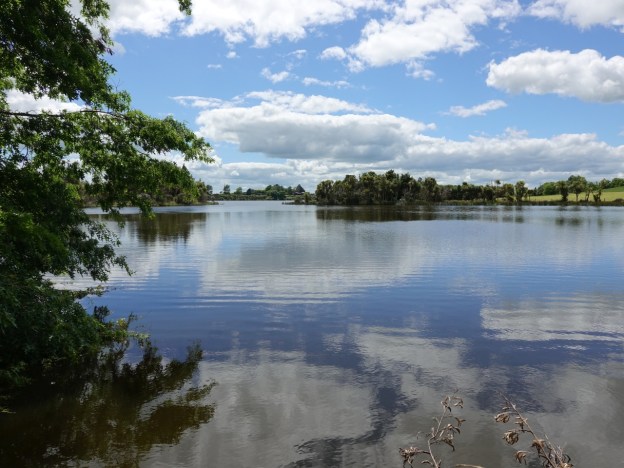
Lake Kainui is a peat lake of about 25 hectares in the Horsham Downs area of Waikato, east of Ngaruawahia and north of Hamilton. It is one of a series of lakes in the area, and is also known as Lake D or Lake Rotoaira. Lakes A, B and C are nearby. A walkway around the lake was opened in 2018, and public access to the lake itself and Lake Kainui Reserve was arranged by the Waikato District Council. A short access road off Lake Road leads to a parking area and the reserve. There is also a boat ramp and a toilet.
Various activities are permitted in the reserve and on the lake, but some activities require a permit and access to the boat ramp requires a key. The reserve may be closed to the public in May, during the duck shooting season. The walkway around the perimeter of the lake is about 3.1 km long, mostly well formed with a gravel surface, although there are also areas of grass. There are no steps and only the gentlest of gradients, with an elevation difference of only a metre or two along the entire track.
The main source of information about the lake and reserve appears to be the Waikato District Council’s Lake Kainui Recreation and Esplanade Reserves Management Plan. The Main Document (pdf) which can be downloaded from here contains historical and geographic information about the lake and the area. The lake is fed by rainwater only, with a maximum depth of about 6.7 metres. The water is currently of poor quality.
The reserve is accessible by a short access road off Lake Road, almost directly opposite 398 Lake Road. The reserve is also shown on Google as 421A Lake Road, Horsham Downs. A toilet is located about 300 metres south-west of the parking area. The total length of the walkway is about 3.1 km, with an indicated time of about 1 hour. Horses and dogs are allowed, but dogs must be kept on a leash at all times. There may be nesting waterfowl in the reserve.
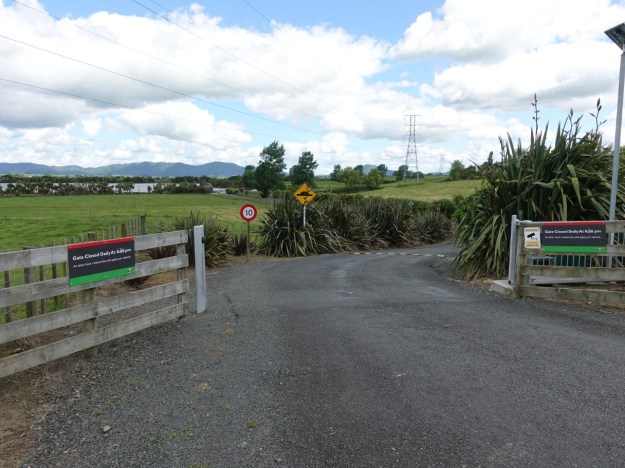
The narrow access road to the lake and reserve, off Lake Road. The gate at the access point is locked daily at 8 pm. The parking area can be seen just above the 10 km/h speed limit sign.
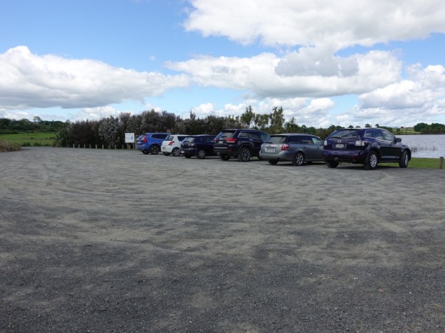
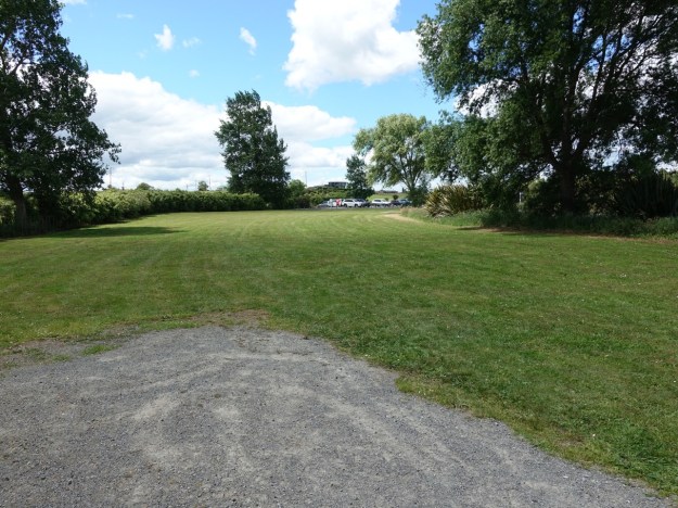
The parking area by the edge of Lake Kainui. The access road is at the far end at the left edge of the picture. The access road to the boat ramp, with a locked gate across, is at the far end behind the vegetation. There are benches and tables on the grass area between the vehicles and the lake.
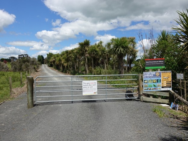
The access road to the boat ramp. Access requires a permit and a key.
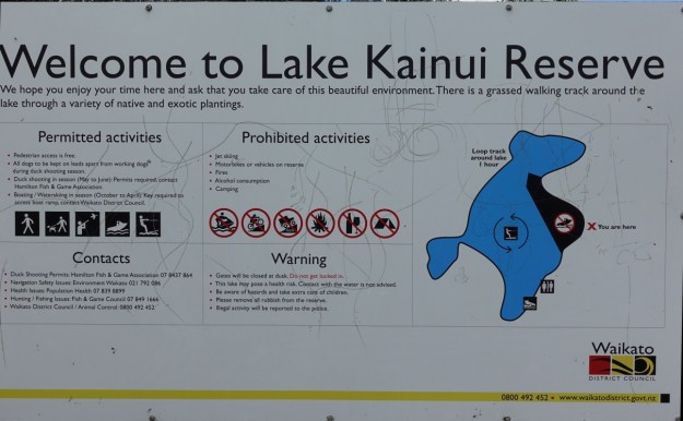
A sign by the lakeside indicates the permitted and the prohibited activities. There is no mention of bicycles, but several cyclists were making use of the track around the lake on the day. There is no mention of closure during the duck shooting season.
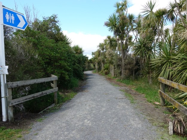
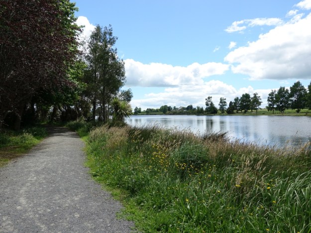
Most of the walkway is wide and well-formed with a good gravel surface. Here shown at the start by the parking area and picnic area. There are also some short stretches of grass area, with the grass well mowed. This walk was done in a clockwise direction.
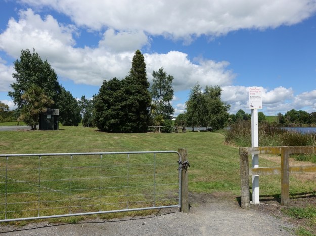
About 300 metres from the parking area there is a grass area, with a basic toilet to the left, picnic benches and tables, and a boat ramp behind the trees.
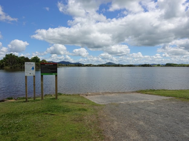
Looking across the boat ramp and the lake to Mount Taupiri.
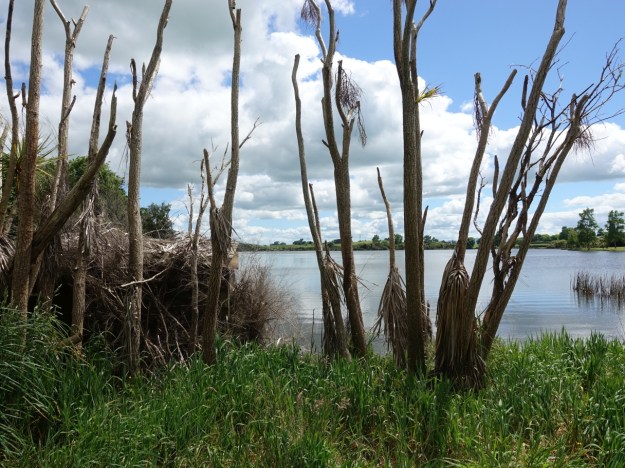
A number of maimai (shelters for duck shooters) are located around the edge of the lake. According to the council document there are thirteen of them. This one, well hidden on the left, appears to be derelict and abandoned, but there have been requests to allow two more so presumably all are in use.
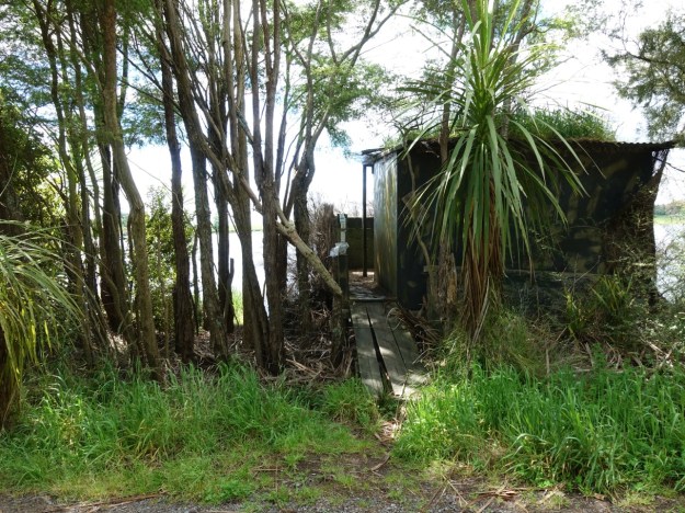
This maimai appears to be in much better condition, and is obviously being used.
There are only few areas with older trees providing shade and shelter, although there have been numerous plantings which should provide shade in the future.
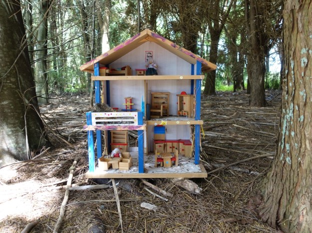
Most of the areas with larger trees have been turned into Fairy Forests, with various decorations apparently mainly provided by school children.
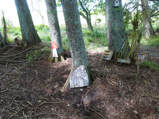
There are also some very elaborate constructions, such as this fairy mansion, complete with furniture.
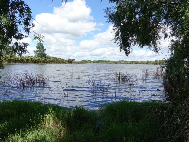
A view across the lake from the south-western end.

A view from the northern end of the lake. No waterfowl were seen, although there must be some that live here.
Arriving back at the parking area after a clockwise walk around the perimeter of the lake.
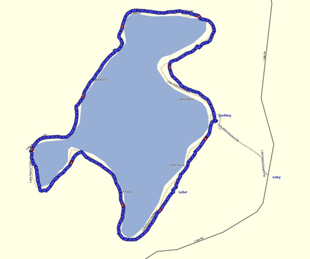
The GPS tracklog shows the route around Lake Kainui. The total distance walked was 3.1 km, for a total time of 40 minutes.
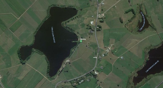
The aerial image, from Google Maps, shows a larger area, including Lake B (Lake Kaituna) and Lake C (Lake Komakorau) as well as Lake Kainui (Lake D).
The track was walked on November 15, 2020.
