Tag Archives: Kauri

Waitawheta Tramway Track – Franklin Rd to Waitawheta Hut

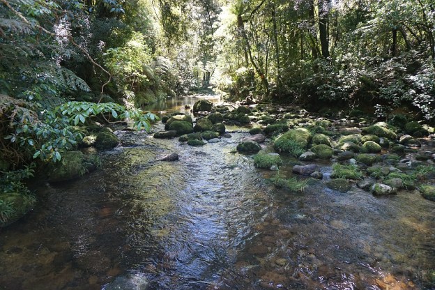
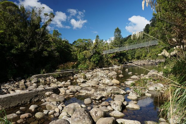
The Waitawheta Tramway Track follows a tramline used in the early 20th century to extract wood from the Waitawheta Valley, first for gold mining operations, and then Kauri logs and timber. The tramway runs for almost 10 km from Franklin Rd (off Waitawheta Rd) to a sawmill site and the Waitawheta Hut. There are 8 crossings of the Waitawheta River, with all except one of them now spanned by bridges. There is a detour track available which bypasses the unbridged crossing.

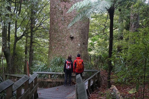
The tramway has a gentle slope, rising from about 160 m above sea level at Franklin Rd, to about 380 m at the Waitawheta Hut. Most of the track is easy to walk, with only a few short washed out sections. Several remains from the tramway and milling can be seen along the way.

Continue reading

Rapurapu Kauri Track

The Rapurapu Kauri Track in the Kaimai Mamaku Forest Park is accessible directly from SH29 the Waikato side of the Kaimai Range. The track leads to 3 large Kauri trees near the southern limit of their natural occurrence. On the way the track crosses the Rapurapu Stream 8 times. The stream crossings may not be possible after heavy rain.

The first 750 m or so of the track goes through recently cleared pine forest, before entering the regenerating native bush area in the Forest Park. The same track is used in both directions, for a total of about 6 kms, but with only about 30 m in height difference between highest and lowest points.
Continue reading

Bluff Stream Kauri Loop

Two of the largest Kauri trees in the Kaimai-Mamaku Forest Park can be seen alongside the Bluff Stream Kauri Loop Track. The track is accessible from the end of Franklin Rd, off Waitawheta Rd, between Waihi and Karangahake. The loop track passes around Maungawhio, a 366m high dome-shaped knoll. The large Kauri trees are on the south-eastern side of Maungawhio.

The most difficult part of the walk are the river crossings, especially during winter or after heavy rainfall. The track crosses the Waitawheta River twice, and Bluff Stream, a tributary to Waitawheta River, once. Both were about knee deep at all 3 crossing locations during this walk.

Continue reading

Tuahu Kauri and Sentinel Rock

Although it is now considered too dangerous to climb Sentinel Rock, a large rocky outcrop in the Kaimai Mamaku Forest Park, it is still possible to view the rock and surrounding valley from a nearby lookout. There are also views to the Pacific Ocean and parts of the Bay of Plenty.

The track to the lookout starts at the end of Hot Springs Rd, just south of Katikati. The Tuahu Track and Tuahu Kauri Loop Track lead past two of the largest kauri trees in the Western Bay of Plenty, to the start of the Sentinel Rock Track.

Continue reading