Tag Archives: SH29

Kopurererua Valley, Tauranga

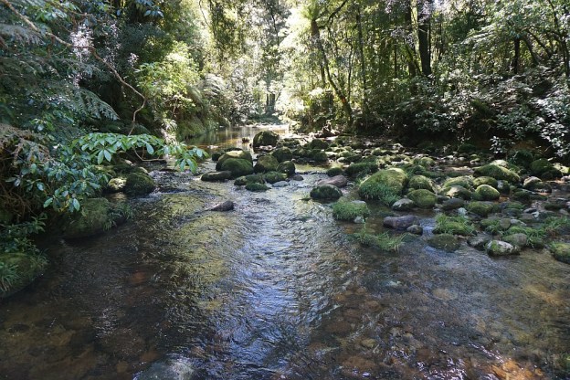
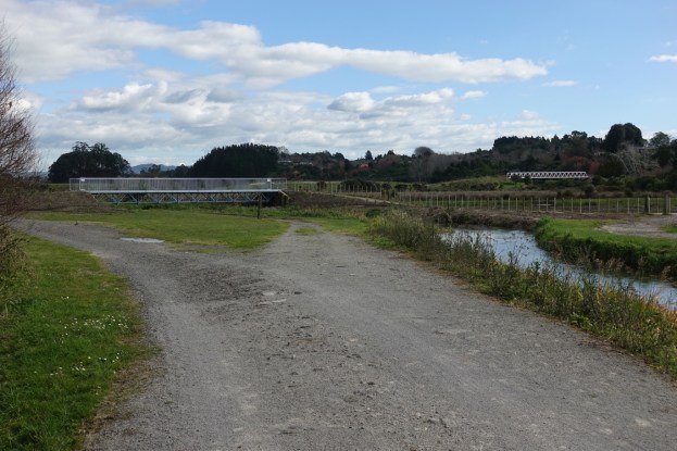
Kopurererua Valley is a low-lying area about 5 km long covering an area of 300 hectares, with Kopurererua Stream running through it, from Tauriko at the southern end and Waihi Road at the northern end. The valley is bisected by Takitimu Drive, a toll road, which is part of SH29. The ridge on the western side of the valley has Cambridge Road running along the ridgeline, and the ridge on the eastern side has Cameron Road running along the ridgeline. The Whakapaewaka Bridge across Takitimu Drive, officially opened in early August 2018, allows walkers and cyclists to cross over from one side of the valley to the other, near the midpoint of the valley.

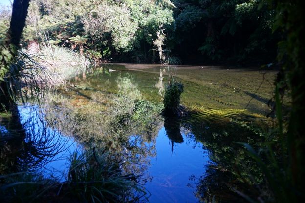
Combined walkways and cycleways run through the valley, with tracks leading to various side streets along the way. Bridges across Kopurererua Stream have also recently been constructed, and most of the tracks are wide with a gravel surface. Some are still grass areas which can be wet and muddy during winter and wet periods. Much of the valley consists of wetlands, and a boardwalk over parts of the wet area connects the ends of 17th Avenue and Faulkner Street. Continue reading

Rapurapu Kauri Track

The Rapurapu Kauri Track in the Kaimai Mamaku Forest Park is accessible directly from SH29 the Waikato side of the Kaimai Range. The track leads to 3 large Kauri trees near the southern limit of their natural occurrence. On the way the track crosses the Rapurapu Stream 8 times. The stream crossings may not be possible after heavy rain.

The first 750 m or so of the track goes through recently cleared pine forest, before entering the regenerating native bush area in the Forest Park. The same track is used in both directions, for a total of about 6 kms, but with only about 30 m in height difference between highest and lowest points.
Continue reading

North South Track – SH29 to North Henderson Tramline

The North South Track in the Kaimai Range is a total of 82 km long, with the northern end in the Karangahake Gorge, and the southern end near the summit of SH29 across the Kaimai Range. Accessible directly from SH29 is also a short Kaimai Summit Loop Track, about 700m long, with two stream crossings and numerous steps.

This post covers the Summit Loop Track and the North South Track between SH29 and the North Henderson Tramline Track. For more details of the Henderson Tramline Tracks see the Henderson Tramline Loop post. This also includes the North South Track between the two tramline track branches.

There is a parking area by the northern side of SH29 near the summit. The Summit Loop track forms the first part of the North South track, with both starting at the parking area. Directly across the road from the parking area is a small spring where people often stop and collect drinking water. Continue reading