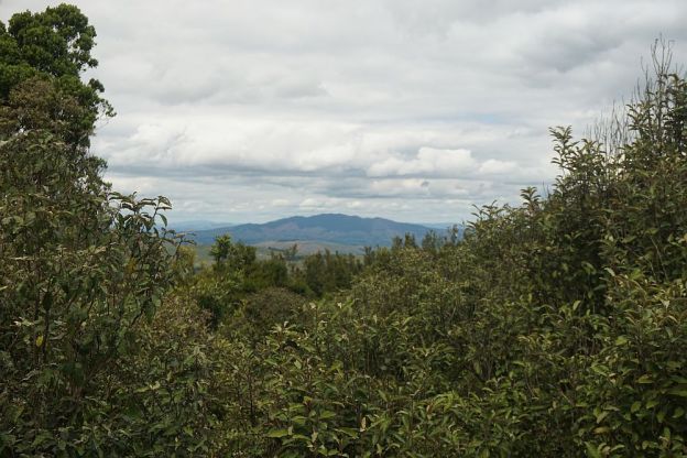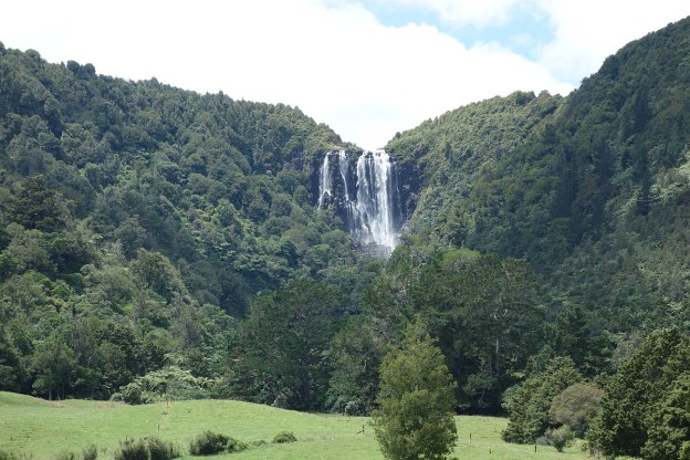
There are two alternative tracks from the carpark on Goodwin Road to the top of the Wairere Falls, In the Kaimai-Mamaku Forest Park, east of Matamata. The main track passes by the lower falls lookout on the way to the top. The alternative route, which is only signposted where it joins up with the main track near the top of the falls, is signposted as “Ancient Maori Trail (Very Steep and Not Maintained)”.
The sign is not wrong. The track is steep and not very well marked, although there are occasional orange triangular DoC markers to show the way. Otherwise it is more or less necessary to follow a visual trail showing previous use. The lower junction with the main track is unfortunately not signposted, and can be difficult to locate. Since the track is steep, rough, and slippery in places it is easier to walk uphill than downhill. Continue reading