Tag Archives: Kaimai Mamaku Forest Park

Waiorongomai Pylon Peak Track

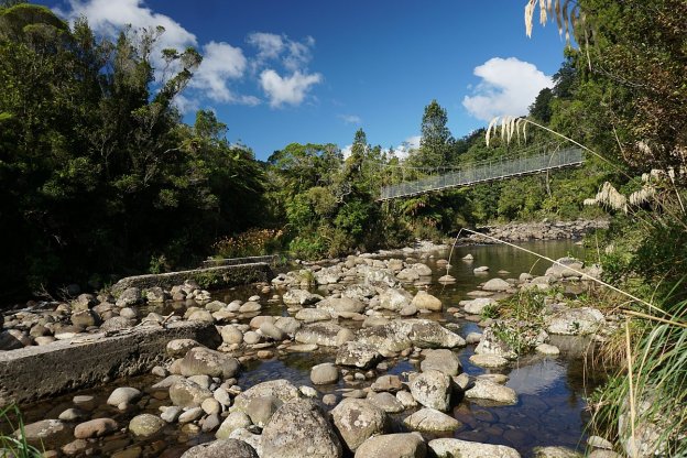
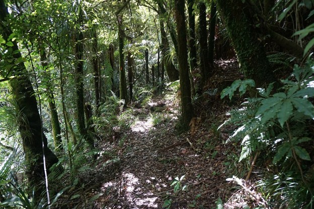
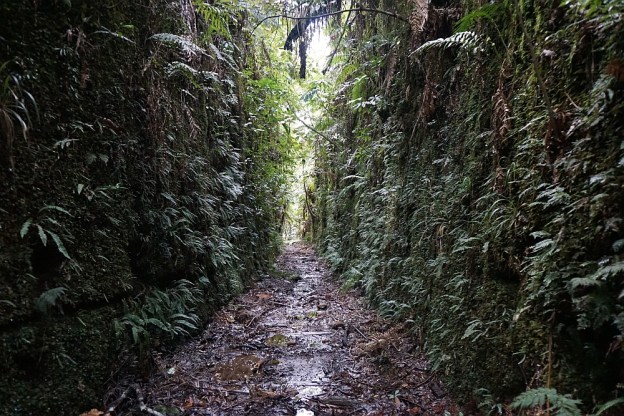
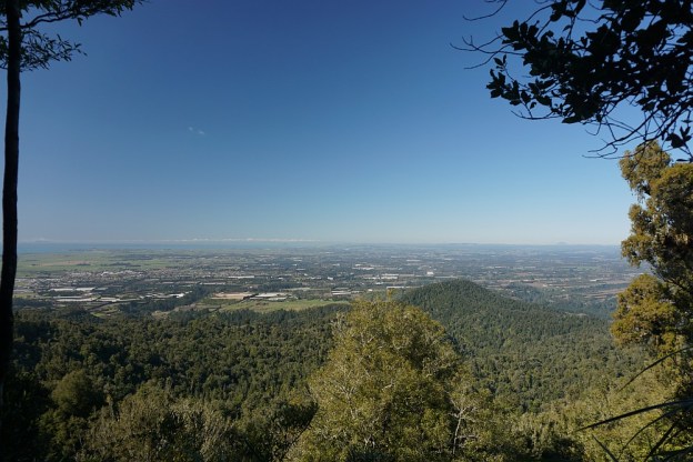
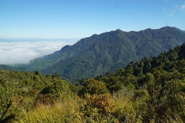
The Pylon Peak Track in the Waiorongomai Valley was opened up in 2015 and currently does not appear on the DoC web site or signs in the area. The track branches off the Low Level Pack (or Low Level Drive) Track near the end of Waiorongomai Road, crosses the Waiorongomai River, climbs to a ridgeline which it follows before climbing quite steeply to the Pylon Peak and joining up with the Kaimai Ridgeway Track (formerly the North-South Track).

There are still a few remains of the steel power pylons which were used for the power line linking the Horahora hydro-electric power station with the Waihi gold mine and Victoria Battery in the Karangahake Gorge. The power station was the first large power station on the Waikato River and on the North Island, built in 1913 and commissioned in 1914. The power station was sold to the Government in 1920, expanded, supplying power to Paeroa and further afield to Cambridge, Hamilton and Auckland, before being submerged by Lake Karapiro after the Karapiro Dam was completed in 1948.

Continue reading

Waitawheta Tramway Track – Franklin Rd to Waitawheta Hut

The Waitawheta Tramway Track follows a tramline used in the early 20th century to extract wood from the Waitawheta Valley, first for gold mining operations, and then Kauri logs and timber. The tramway runs for almost 10 km from Franklin Rd (off Waitawheta Rd) to a sawmill site and the Waitawheta Hut. There are 8 crossings of the Waitawheta River, with all except one of them now spanned by bridges. There is a detour track available which bypasses the unbridged crossing.

The tramway has a gentle slope, rising from about 160 m above sea level at Franklin Rd, to about 380 m at the Waitawheta Hut. Most of the track is easy to walk, with only a few short washed out sections. Several remains from the tramway and milling can be seen along the way.

Continue reading

Dickey Flat – Mangakino Pack Track Loop

Dickey Flat Campsite in the Karangahake Gorge is the starting point of various walks in the Kaimai Mamaku Forest Park. The Mangakino Pack Track Loop is one of the longer and most difficult of the loop walks starting and ending at the campsite. The tracks making up this loop have various names depending on the source, which can be confusing. For example the Mangakino Pack Track is also known as Mangakino Track and Mangakino Stream Track. Dickey Flat is also called Dickey’s Flat on older DoC signs.

The campsite, with parking area and basic toilet facilities, is located at the end of Dickey Flat Road, off Kennedy Rd and Waitawheta Rd. The last part of Dickey Flat Rd is a narrow, gravel road.

Continue reading

Ananui Falls from Woodland Rd

Note: Please see the comments and the DoC web site, which state that the track has been closed to prevent the spread of kauri dieback disease.

Ananui Falls, in the Kaimai-Mamaku Forest Park, is a 106m high waterfall accessible from Woodland Rd, a few kms north of Katikati. Woodland Rd, previously known as Woodlands Rd since it was originally intended to be joined up with Woodlands Rd off Old Tauranga Rd south of Waihi, joins up with SH2 about 4 km north of Katikati. The parking area is at the end of Woodland Rd, with the last kilometre of the road being a narrow gravel road.

There are numerous stream crossings along the track, some of which may be difficult after heavy rainfall. Unfortunately there appear to be no good lookout points for viewing the falls, but the top of the falls are easily accessible from the track.

There are no facilities at the parking area, which is a large grassed area next to the junction of the Wairoa/Waitengaue Stream and Tamaki Stream. Information about the track is also available on the DoC web site.

Continue reading

Dickey Flat to Karangahake loop

The Dickey Flat campsite, administered by DoC, is located on the banks of the Waitawheta River in the Karangahake Gorge and the Kaimai Mamaku Forest Park. Located at the end of Dickey Flat Rd, off Kennedy Rd and Waitawheta Rd, it is a popular campsite in the summer, with swimming holes and trout fishing spots easily accessible.

Two walking tracks, which can be walked as a loop walk, connect Dickey Flat and Karangahake. The south-western track passes through regenerating native bush, with the north-eastern track following the Waitawheta River and the historic Waitawheta pipeline. The total loop has a length of just over 10km. It can be walked in either clockwise or anti-clockwise direction, and starting at either Dickey Flat campsite, or by SH2 at Karangahake.

Continue reading

Rapurapu Kauri Track

The Rapurapu Kauri Track in the Kaimai Mamaku Forest Park is accessible directly from SH29 the Waikato side of the Kaimai Range. The track leads to 3 large Kauri trees near the southern limit of their natural occurrence. On the way the track crosses the Rapurapu Stream 8 times. The stream crossings may not be possible after heavy rain.

The first 750 m or so of the track goes through recently cleared pine forest, before entering the regenerating native bush area in the Forest Park. The same track is used in both directions, for a total of about 6 kms, but with only about 30 m in height difference between highest and lowest points.
Continue reading

Leyland O’Brien Tramway Track

The Leyland O’Brien Tramway (or Tramline) Track follows the route taken by a tramway last used many years ago to extract logs from the forest in the Kaimai Range. The northern end of the track is at the end of Whakamarama Road, and the southern end is at a junction with the North / South Track which runs along the length of the northern end of the Kaimai Mamaku Forest Park. On the way it joins up with the Ngamuwahine Track.

The DoC web site has information about the track. However, the expected time of 2 hours in each direction does not agree with the DoC panels along the track, and the actual walking time was about 2 hours 15 minutes without any breaks. One of the few tracks where the actual walking time was longer than the DoC posted time. Continue reading

Otawa Trig from Te Puke Quarry Road

The Otawa Scenic Reserve in the Papamoa Hills is part of the Kaimai Mamaku Forest Park. The scenic reserve is accessible from various location near Tauranga and Te Puke, including Te Puke Quarry Road, Manoeka Rd, and Demeter Rd. The Trig Track runs from Te Puke Quarry Rd, via the Otawa trig, to Manoeka Rd by Otawa Lodge.

This walk covers the track from Te Puke Quarry Rd, past the Otawa trig, to the junction where the track to Manoeka Rd joins the track to Demeter Rd and to Whataroa Falls and Otanewainuku.

Continue reading

Mount Eliza Mine and Summit

The Mt Eliza Mine Track connects the North South Track in the Kaimai Range to Thompsons Track, south-west of Katikati. Thompsons Track consists of two major parts: a road from SH2 south of Katikati to the boundary of the Kaimai Mamaku Forest Park, an impassable 4WD track crossing over the Kaimai Range to Thompsons Road, off Te Aroha – Gordon Rd on the western side of the Kaimai Range. The Mt Eliza Mine Track passes the old, abandoned Mt Eliza gold mine, with part of the track consisting of the pack track used to transport supplies to the mine. Continue reading

North South Track – SH29 to North Henderson Tramline

The North South Track in the Kaimai Range is a total of 82 km long, with the northern end in the Karangahake Gorge, and the southern end near the summit of SH29 across the Kaimai Range. Accessible directly from SH29 is also a short Kaimai Summit Loop Track, about 700m long, with two stream crossings and numerous steps.

This post covers the Summit Loop Track and the North South Track between SH29 and the North Henderson Tramline Track. For more details of the Henderson Tramline Tracks see the Henderson Tramline Loop post. This also includes the North South Track between the two tramline track branches.

There is a parking area by the northern side of SH29 near the summit. The Summit Loop track forms the first part of the North South track, with both starting at the parking area. Directly across the road from the parking area is a small spring where people often stop and collect drinking water. Continue reading