Tag Archives: Waikato River Trail

Waikato River Trail – Waotu to Mangarewa Bridge

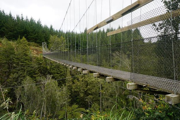
Please note: This part of the Waikato River Trails has been permanently closed. Please do NOT try to access this track. Mangarewa Suspension Bridge is still accessible on a 10km long trail from the Waipapa Dam, but the trail from Waotu South Road to the bridge has been permanently closed. The cycle trail now follows a different route from Arapuni Dam to Waipapa Dam. See the Waikato River Trails web site for details.

As the web site mentions in the update dated October 1, 2020:
“The foolish minority have created a situation through ignorance and disrespect that access to parts of the Trail are now denied to the respectful and socially aware majority. The abuse of years of goodwill from the Trails farming neighbour is a sad reflection that it only takes a few people in any section of the community to unravel enjoyment for the masses.”

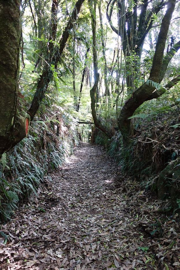
The Waikato River Trail stretches a total of about 100km from Lake Karapiro in the north to Atiamuri in the south. Parts of the trail are on public roads, but most of it is specially constructed walking and mountain biking track, following the Waikato River. The trail is calculated to take 3 or 4 days to cover the total length on a mountain bike, and somewhat longer by foot. Since several parts of the trail are easily accessible from public roads it is possible to walk most of it as day walks, walking each part in both directions if you don’t have other transport arranged. Continue reading

Jim Barnett Reserve – Waikato River Trail

The Jim Barnett Reserve is located on Waotu South Rd. The Waikato River Trail passes through the reserve. There is a picnic area and a campervan parking area by the entry to the reserve, and a camping area with no vehicle access inside the reserve. There are basic toilet facilities at the picnic area, and within the reserve area.

The walking and cycling tracks are reasonably well marked. All work in the reserve is done by volunteers, so some signs may not be always be kept updated or replaced when damaged. Unfortunately this reserve is no different from other locations where vandals take pleasure in defacing or damaging signs. Continue reading

Waikato River Trails – Jones Landing to Arapuni

The Waikato River Trail is currently about 100km long, stretching from Horahora Rd in the north, to Atiamuri in the south. It is shared by walkers and mountain bikers. A short stretch is a public road, and only suitable for bikers.

The track between Jones Landing and Arapuni consists of two parts – the track from Jones Landing to the Arapuni Dam, and the track from Arapuni Dam to the swingbridge and Arapuni Village. The first part has a number of steps, steep dropoffs, and is most suitable for walkers and experienced mountainbikers. The track is well formed. About 2.5km long, with a side track to a viewing area about halfway. Walking time about 1 hour, including time at the viewing area. Continue reading