Featured post

Welcome to Moto Walk NZ

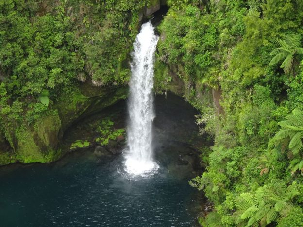
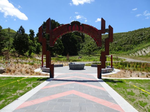
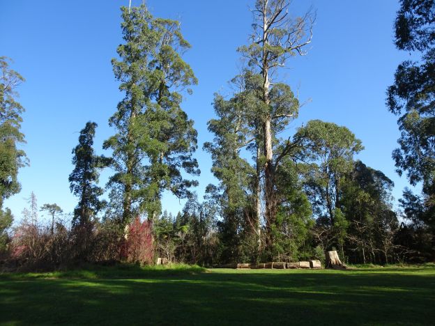
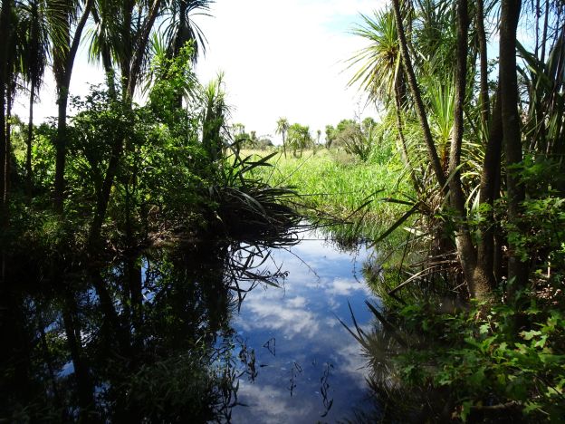
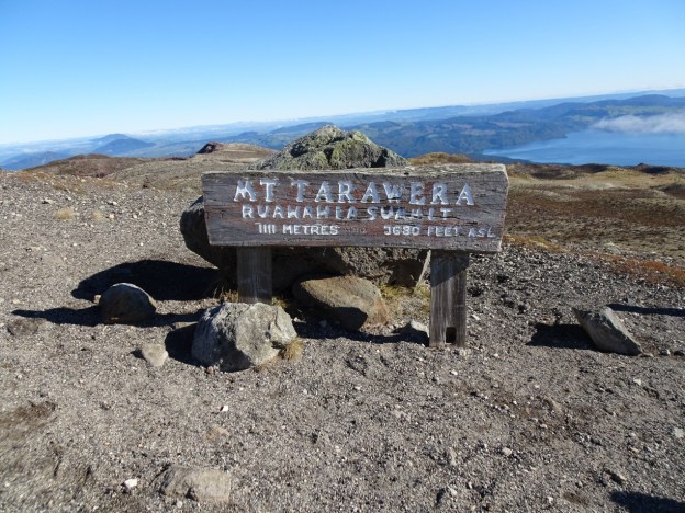
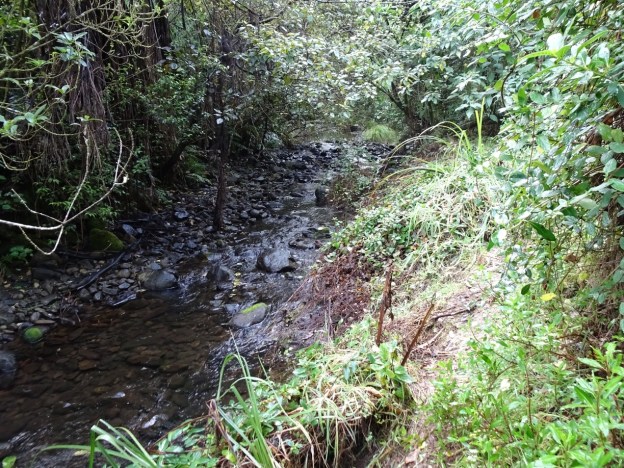
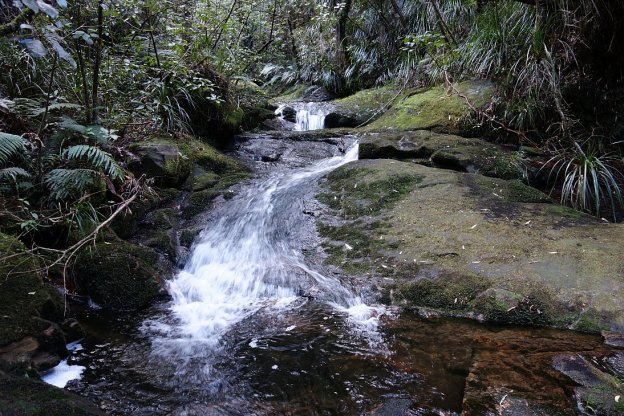
Welcome to an occasional blog about walking and hiking tracks, mainly in the Bay of Plenty, Waikato, and Coromandel regions of New Zealand. I had been exploring backroads on motorbikes for a number of years, before starting to do day walks of up to about 5 to 6 hours duration, mainly on DoC tracks. Motorbike riding days are more or less over now.

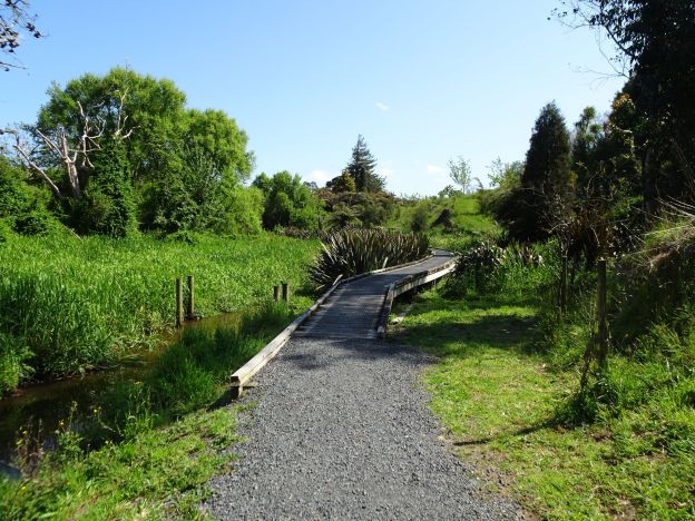
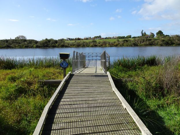
This blog will describe the tracks walked, their difficulty level, distance walked, time taken, facilities available, and will include some photos from the walks. Many of the walks also have a description on the DoC or other web site, and links to these descriptions will be posted. Clicking on a photo in a blog post will usually display a full-size version of the photo. Click on the back button to return to the post.

A directory of walks classified by general area can be found here.


Te Rere o Ōmanawa/Ōmanawa Falls (Update)

Public access to view Ōmanawa Falls opened in December 2023 after a lengthy closure. Extensive work has been done on a new parking area, toilets, information panels, access tracks, steps and viewing platforms. For information about the falls and the previous viewing access see the post Omanawa Falls. Official information about the falls, including opening times, and a downloadable map of the new tracks can be found on the Tauranga City web site.

Development work was done with the involvement of Ngāti Hangarau, for whom the falls are a sacred place, a place for reflection, interpretation and healing. There is no public access to the lake at the bottom of the falls or the underground power station. The end of the track and last lookout is almost directly above the top of the falls.

Continue reading

Pāpāmoa Hills Cultural Heritage Regional Park (Update)

A new entrance to the Pāpāmoa Hills Cultural Heritage Regional Park, including parking area, toilets, entryway and tracks, was officially opened on November 25, 2023. Details of the dawn blessing were covered on the SunLive website and in the Bay of Plenty/Te Puke Times. More details of the park can be found on the Bay of Plenty Regional Council web site. The old carpark is still available.

This post covers some of the new features and tracks, walking from the new carpark to the summit and back. Previous posts on this site have covered other tracks in the park, including the summit track; Maraeroa, Valley and Puriri Tracks; and Te Rae o Papamoa Track.

Continue reading

Newstead Walkway, Hamilton

Newstead Walkway is a short, well-formed walkway at Newstead, east of Hamilton, between Vaile Rd and Morrinsville Rd/SH 26. It is about 1.1 km long with no steps and only very gentle inclines. There are some boardwalks over wet or swampy areas and a grassed area at the eucalyptus grove. A side track about 150m long leads to the northern end of Hamilton Park Cemetery and Crematorium. Dogs are permitted on the walkway, but must be kept on a leash.

Continue reading

Kaimai Mamaku Conservation Area Track Closures

July 22, 2023. Several tracks and a large area of forest has been closed off due to the discovery in the area of the pathogen responsible for kauri dieback disease. Please check with the DoC web site when planning to walk in the Kaimai Ranges. The media release, dated July 21, 2023, about track closures, including a list and map of the closed tracks, can be found on the DoC web site. A review of the closures will be made at the end of September.

Wetlands at Awakaponga and Matata

The National Wetland Trust is a non­profit organisation established in 1999 to increase the appreciation of wetlands and their values by all New Zealanders. On their Wetland Trails page there are links to download information sheets on wetland trails in Southland, Whangamarino, and Bay of Plenty. Some of the locations in the Bay of Plenty information sheet have already been covered on this site. This post covers the Awakaponga Wildlife Management Reserve and Matata Lagoon walks.

Continue reading

Te Otamanui Walkway, Te Kowhai

Te Otamanui Walkway in the village of Te Kowhai, north-west of Hamilton, follows alongside Te Kowhai Stream through a valley to Te Otamanui Lagoon. The first part of the walkway was opened in 2015 and later parts in 2017. Limited information about the walkway is available on various web sites, including Waikato District Council and a .pdf file at Waikato Regional Council. The walkway with plantings has been constructed by volunteer labour, principally funded by Waikato District Council and Te Kowhai community.

Currently the walkway is about 2.4 km long, with an additional approximately 0.5 km of side tracks leading to and from public roads. It is the intention to continue the walkway further north to the Waipa River, making it about 6 to 10 km long. The walkway has a stone chip gravel surface, with no steps, and only gentle inclines. There are boardwalks across wetter areas, and a bridge over Te Kowhai Stream on the side track to Bedford Rd. The main entrance is off Horotiu Rd by the intersection with Bedford Rd, almost directly across from Te Kowhai School carpark.

Continue reading

Lake Rotopiko, Ohaupo – Te Awamutu

The National Wetland Trust is developing a National Wetland Discovery Centre at Lake Serpentine/Lake Rotopiko next to Ohaupo Road/SH3 between Ohaupo and Te Awamutu. An area of about 9.5 hectares, including Lake Rotopiko and a wetland forest area, is enclosed in predator-proof fence. There is a well-formed track encircling Lake Rotopiko with some activities for children along the way, and a track through the kahikatea forest adjacent to the lake. The Department of Conservation is also involved, together with the Toyota Kiwi Guardians organisation.

A parking area for visitors to Lake Rotopiko is accessible directly off Ohaupo Rd/SH3, but due to a wire rope median barrier the access is only for vehicles travelling south from Ohaupo. The entry, through a gate which is closed at night, is unmarked and is located between McFall Rd and Jary Rd. There is a turning bay on Jary Rd for those heading north after a visit to Lake Rotopiko, as only a left turn is possible when leaving the carpark.

Continue reading

Kotukutuku Gully, Maketu

The walking track through the Kotukutuku Gully is a short walking track, about 600 metres long, running parallel to Little Waihi Road between Hapimana Road and Whenuariri/Kiokio Places. The track is well formed, with steps at and near the eastern end only. The gully has historical significance, and the restoration work has been done by volunteers with planting of native plant species throughout the gully. There are no designated parking areas by the track end points, but it is possible to park a few vehicles by the Hapimana Road entrance.

Continue reading

Mount Tarawera

Mount Tarawera is a volcano in the Rotorua area, part of a chain of volcanoes stretching from Whakaari/White Island in the north, to Ruapehu in the south. It was the site of the largest and most deadly eruption in New Zealand in at least the last 250 years. It erupted in the early hours of June 10, 1886, causing the death of about 120 people and leaving a layer of ash and mud over a large area. Details of the eruption can be found on the New Zealand History web site, and on Wikipedia.

One of the tribes or iwi displaced from the area by the eruption, Ngati Rangitihi, are now guardians or kaitiaki of the mountain, and access to the summit is restricted. Ngati Rangitihi marae is located at Matata, and there are Ngati Rangitihi farmlands at Rerewhakaaitu, near the base of Mt Tarawera.

Continue reading

Old Reservoir Road, Paeroa

Old Reservoir Road off SH2 about 1.5 km east of Paeroa is a short road, partly tarsealed, and partly a narrow gravel road. At the north-eastern end of the formed road an old ‘paper road’ continues on from a locked gate and past the old water reservoir dam. The road has once been drivable as far as the dam, but from there it continues on as an unmarked tramping track. The track does not entirely follow the paper road, which apparently continues all the way to Waitekauri Road, and there are no indications that it has ever been formed as a road.

This walk only covers about 2.5 km of the track, starting at the current formed end of Old Reservoir Road, past the old reservoir dam and a small lake to an old tin shed or hut before returning. Being unmarked the track was difficult to find in places, although there were signs that it is still being used as a tramping track. From the dam the track rises quite steeply with an initial elevation about 40 metres above sea level and with the highest points about 315 metres a.s.l.

Continue reading