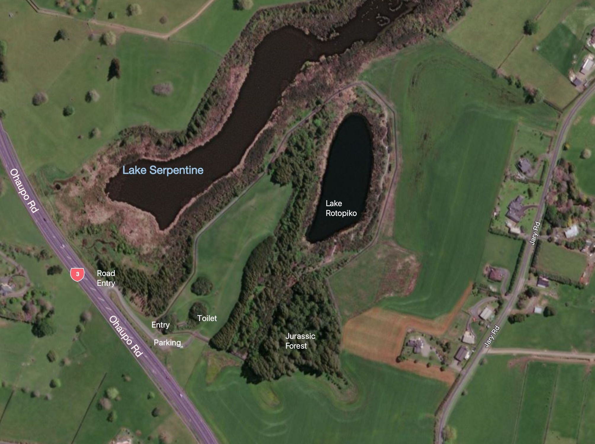
The National Wetland Trust is developing a National Wetland Discovery Centre at Lake Serpentine/Lake Rotopiko next to Ohaupo Road/SH3 between Ohaupo and Te Awamutu. An area of about 9.5 hectares, including Lake Rotopiko and a wetland forest area, is enclosed in predator-proof fence. There is a well-formed track encircling Lake Rotopiko with some activities for children along the way, and a track through the kahikatea forest adjacent to the lake. The Department of Conservation is also involved, together with the Toyota Kiwi Guardians organisation.
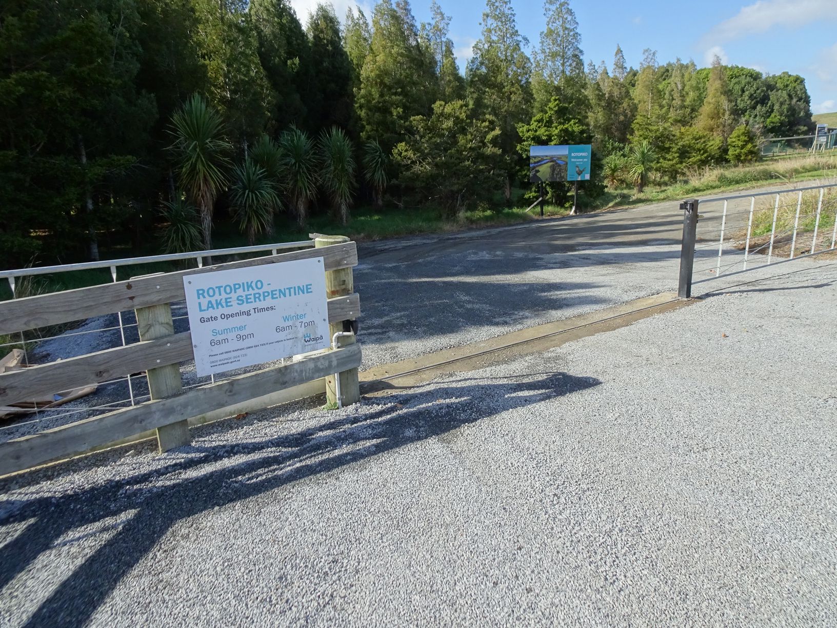
A parking area for visitors to Lake Rotopiko is accessible directly off Ohaupo Rd/SH3, but due to a wire rope median barrier the access is only for vehicles travelling south from Ohaupo. The entry, through a gate which is closed at night, is unmarked and is located between McFall Rd and Jary Rd. There is a turning bay on Jary Rd for those heading north after a visit to Lake Rotopiko, as only a left turn is possible when leaving the carpark.
There is a basic DoC toilet inside the enclosure, not far from the entrance, and there are picnic tables nearby.
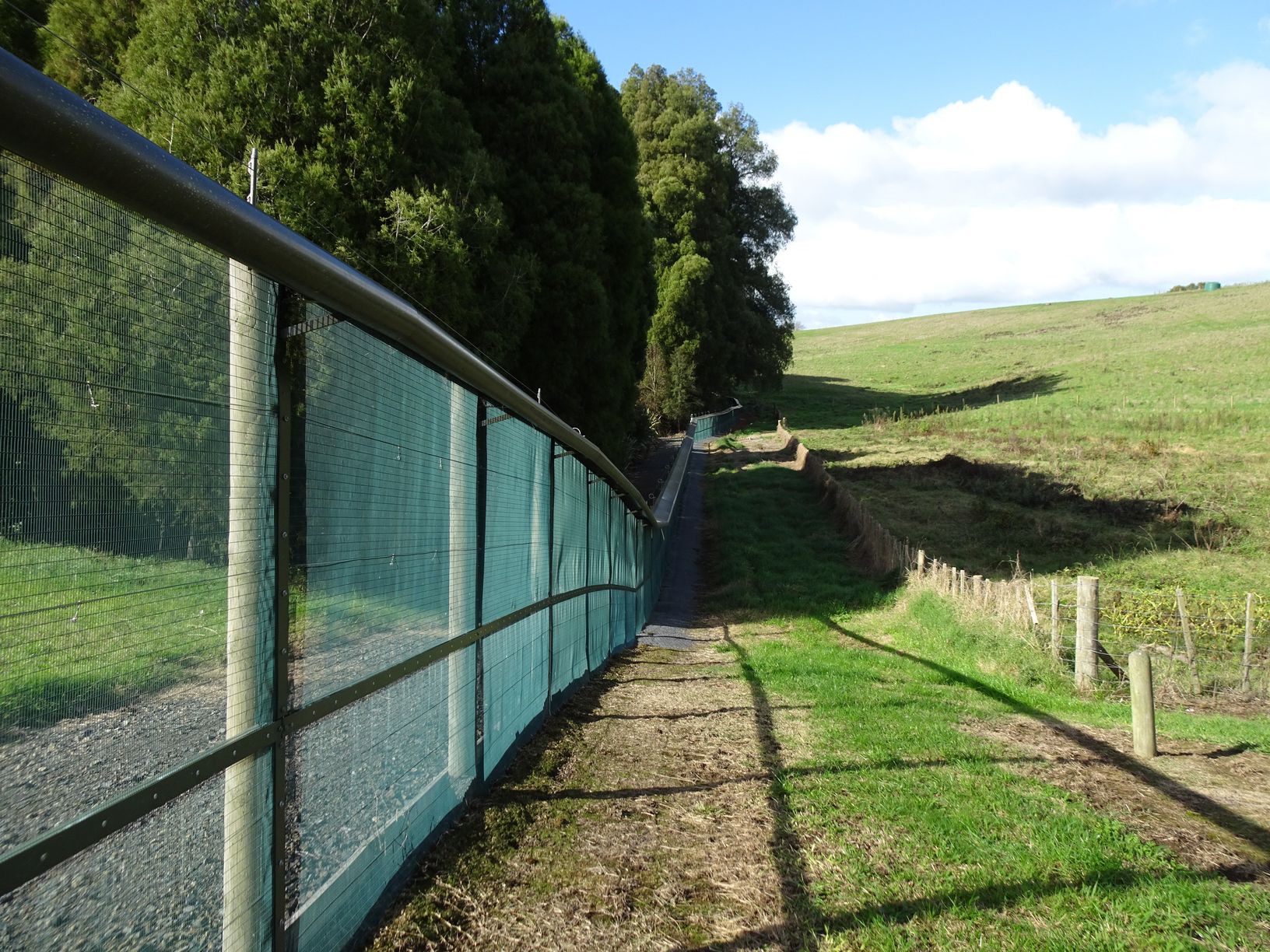
The predator-proof fence surrounding the lake is about 1.4 km long, and it is possible to walk around the perimeter of the area alongside the fence.
Lake Serpentine, adjacent to Lake Rotopiko, is a DoC Wildlife Management Reserve. It’s adjacent to SH3 immediately before the entry to the Lake Rotopiko parking area.

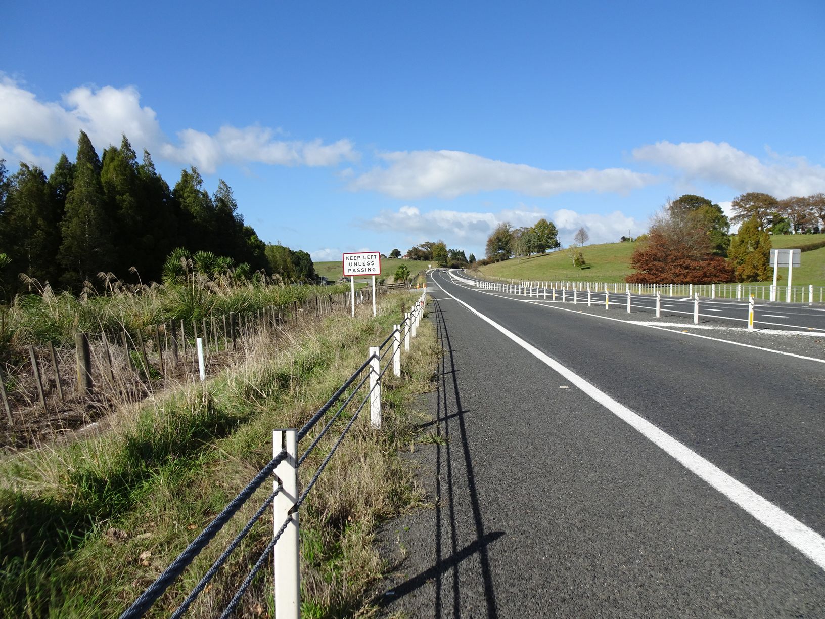
The turnoff to the parking area is just past the sign advising of a passing lane, and before the start of the passing lane. It is visible just below and to the right of the sign.
The gate at the entrance is open between 6am and 9pm during the summer, and between 6am and 7pm during the winter months. The parking area is off-picture on the far right.
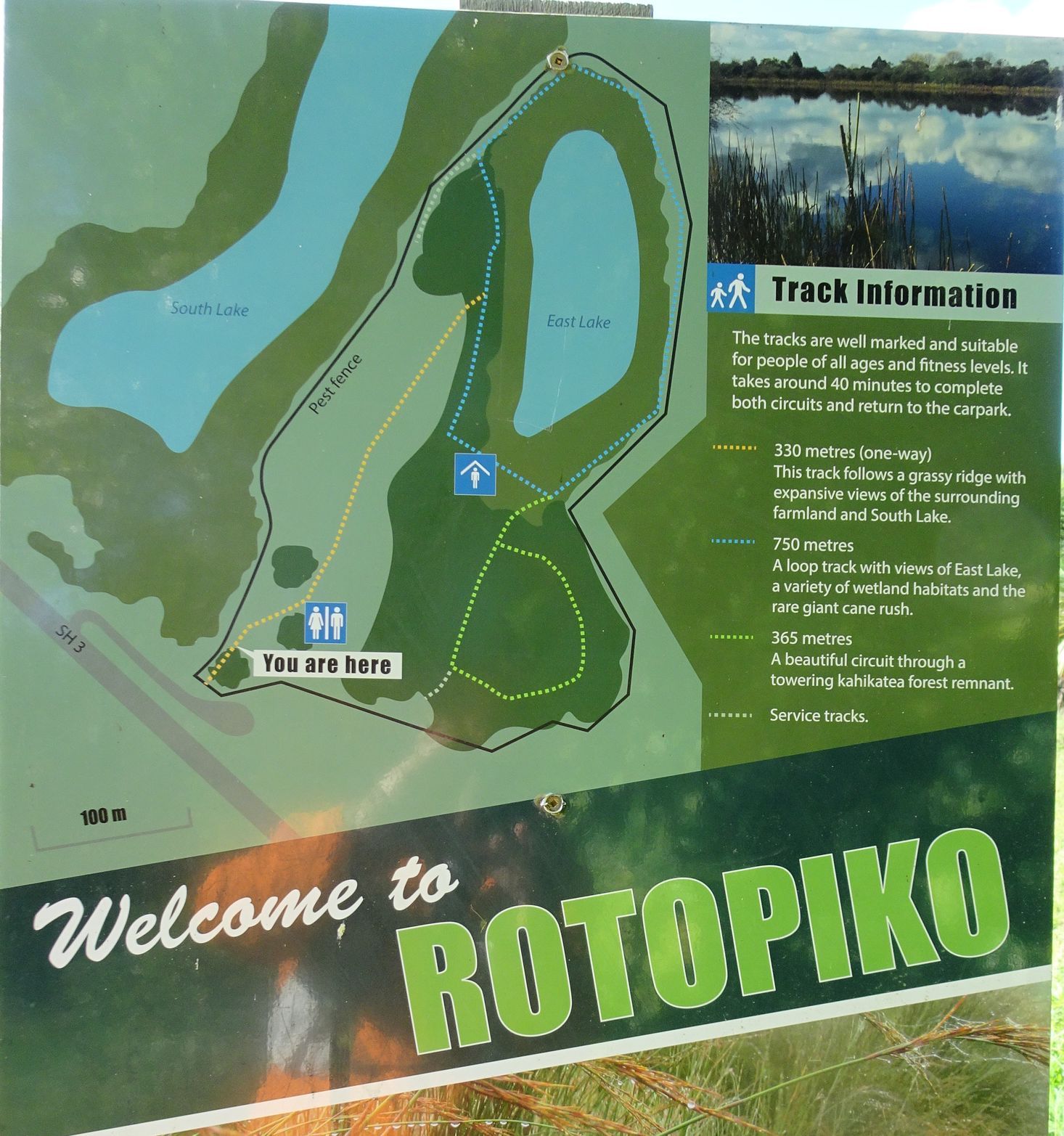
The overview sign seen on the image above, showing an aerial view of the two lakes.

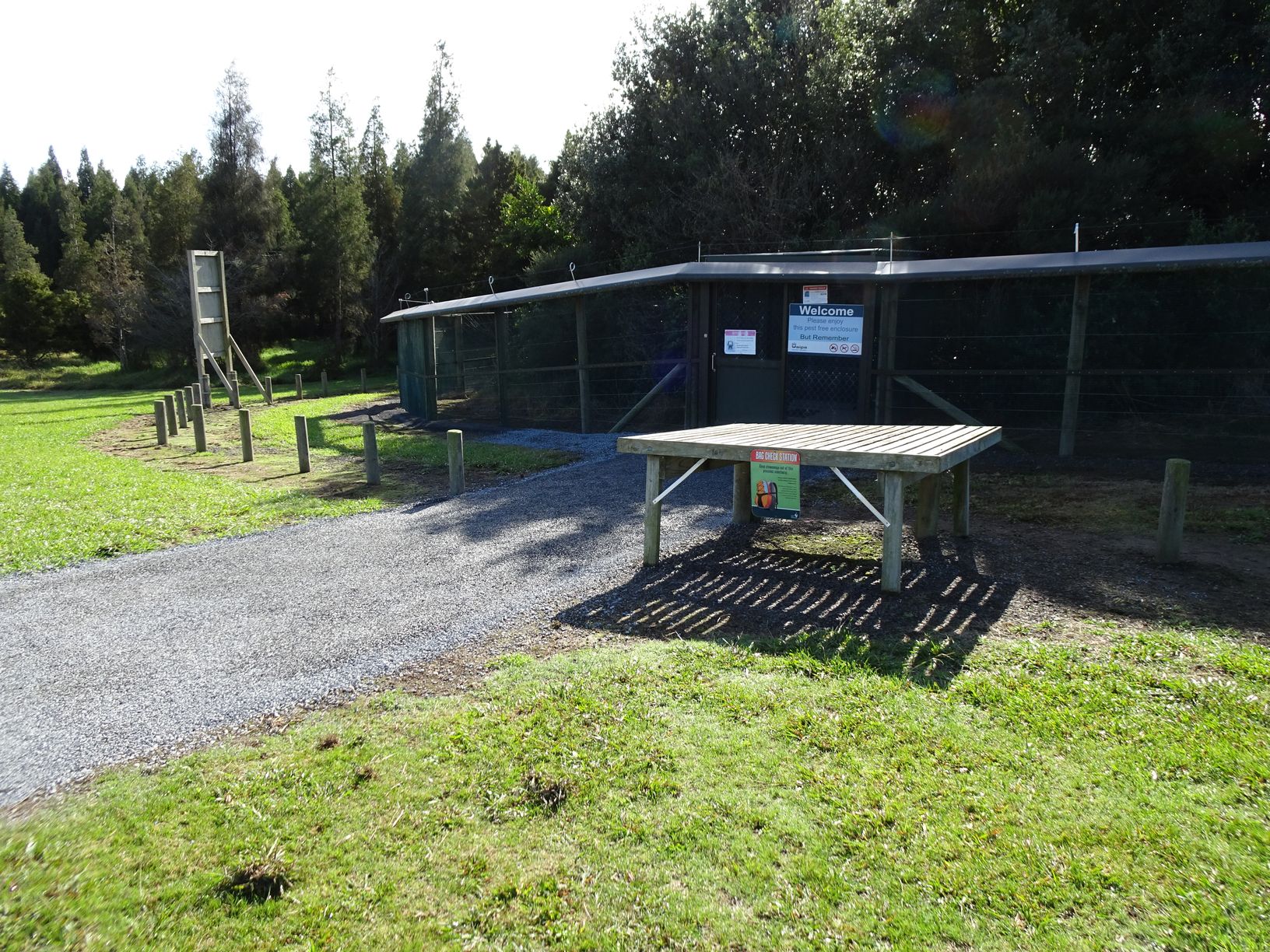
The entry point to the enclosure. There is a Bag Check Station table for checking that bags brought into the enclosure do not contain any live rodents. Apparently it has happened. The entry is by the Welcome sign, passing through two sliding doors and a small enclosure to ensure predators cannot slip through.
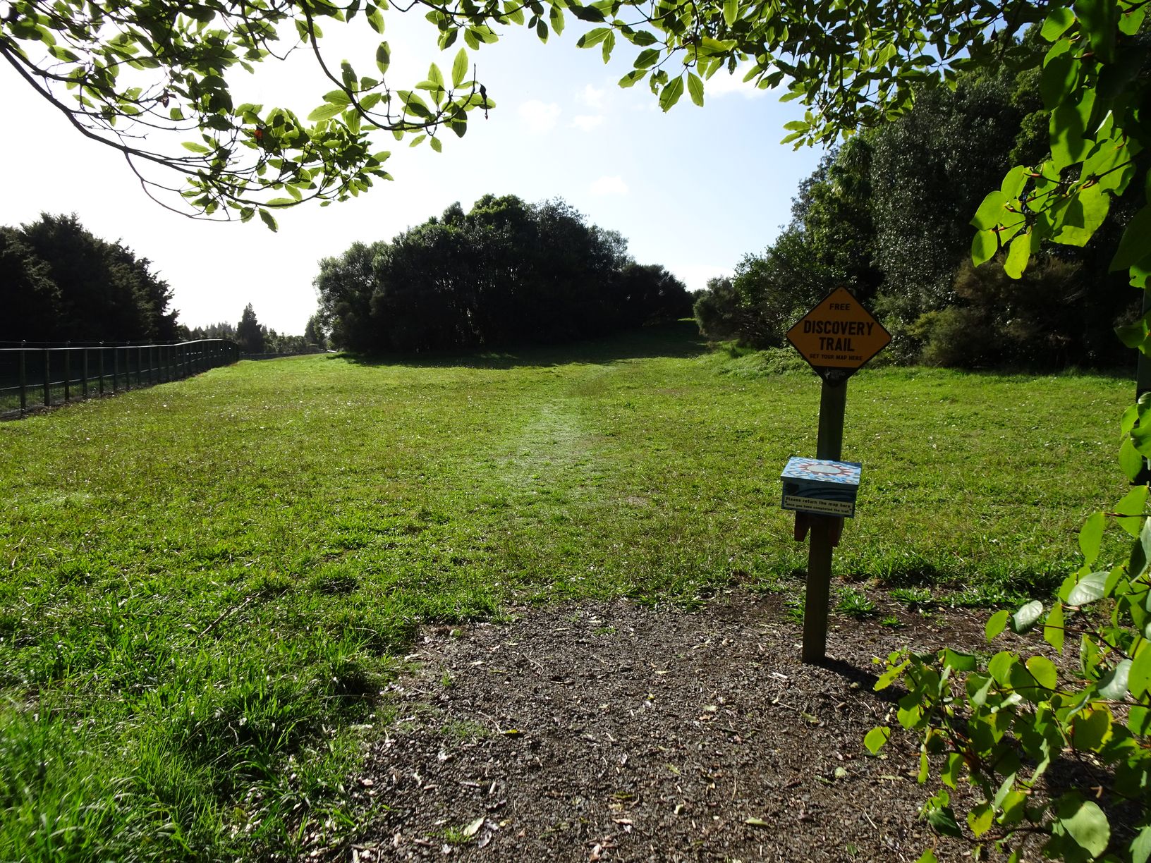
Immediately after the entry there is a small patch of bush with a narrow path through it. The path opens out to a grass area with a mowed path through the grass, heading to an opening between the trees to the right of centre. There is a Discovery Trail plan in the box. An activity plan is also available for download on the DoC site.
An information panel with an overview of the area and the tracks is adjacent to the Discovery Trail box. Here Lake Rotopiko is shown as East Lake and Lake Serpentine as South Lake.
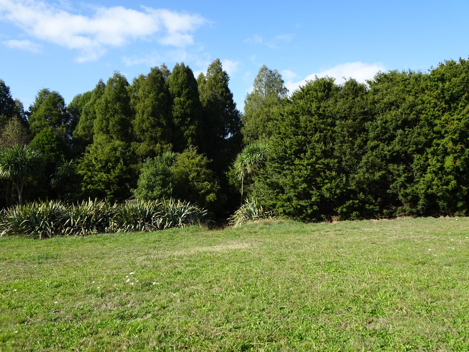
After passing through the opening between the trees there is a larger and longer grass area to walk through. A toilet is off to the right, and the mowed track continues along the ridgeline to the trees at the far end.

An opening between the trees can be used as an exit location after walking the lake circuit and the kahikatea forest.
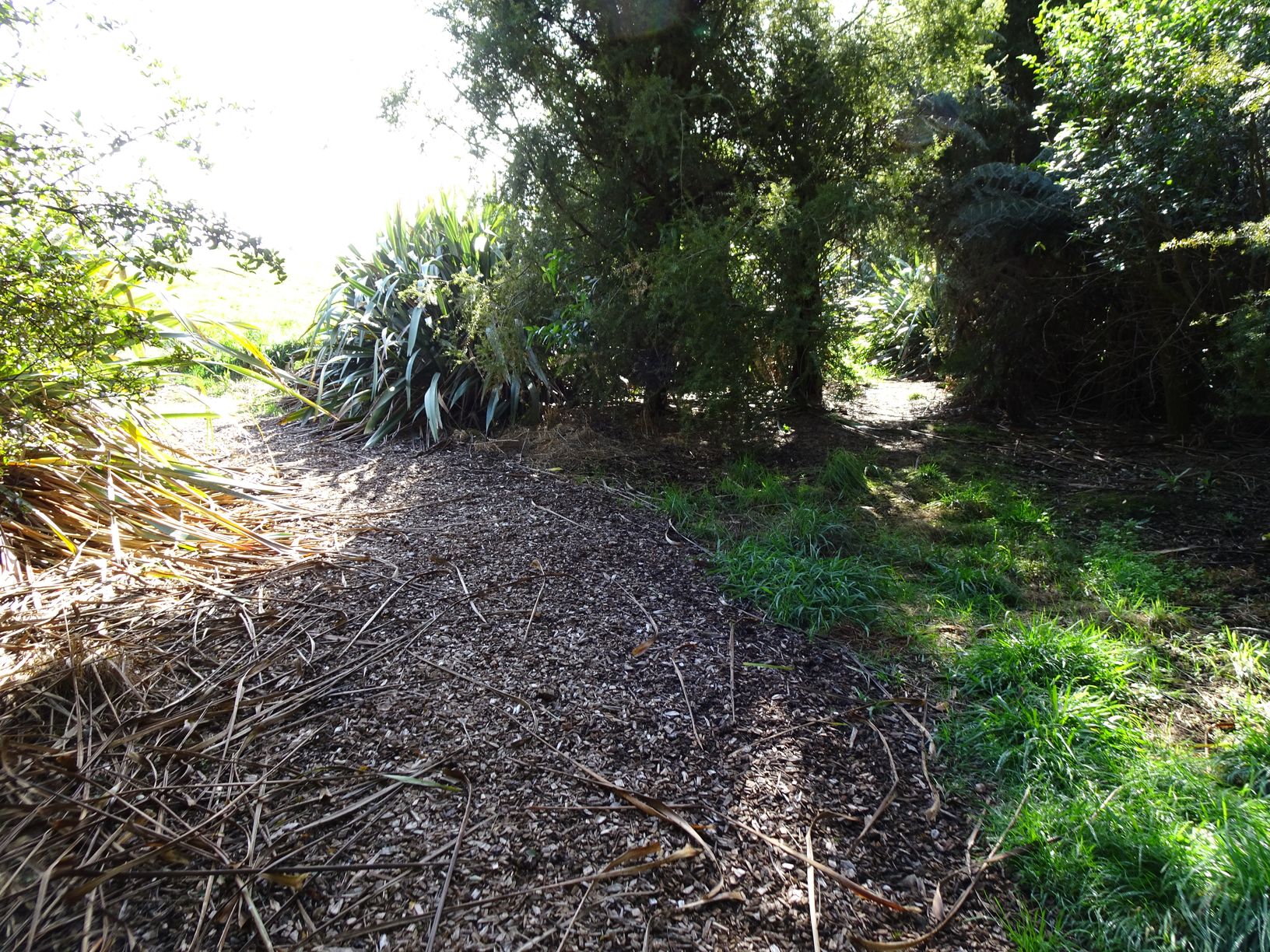
The entry to the lake circuit is just to the left of the flax bushes.

Immediately after the entry the lake circuit branches off to the left. It is also shown as heading to the right, but that part of the circuit does not seem to be used, and is partly overgrown. It continues along to the alternative exit seen previously.

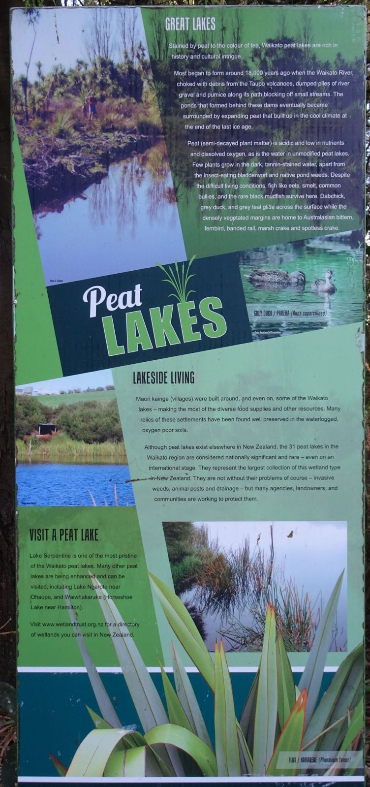
There are information panels at various locations by the track. This one about peat lakes.
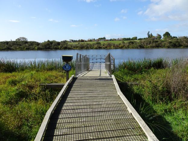
A pontoon allows visitors to view the lake and the birdlife on the lake. The activity here is judging lake water clarity.

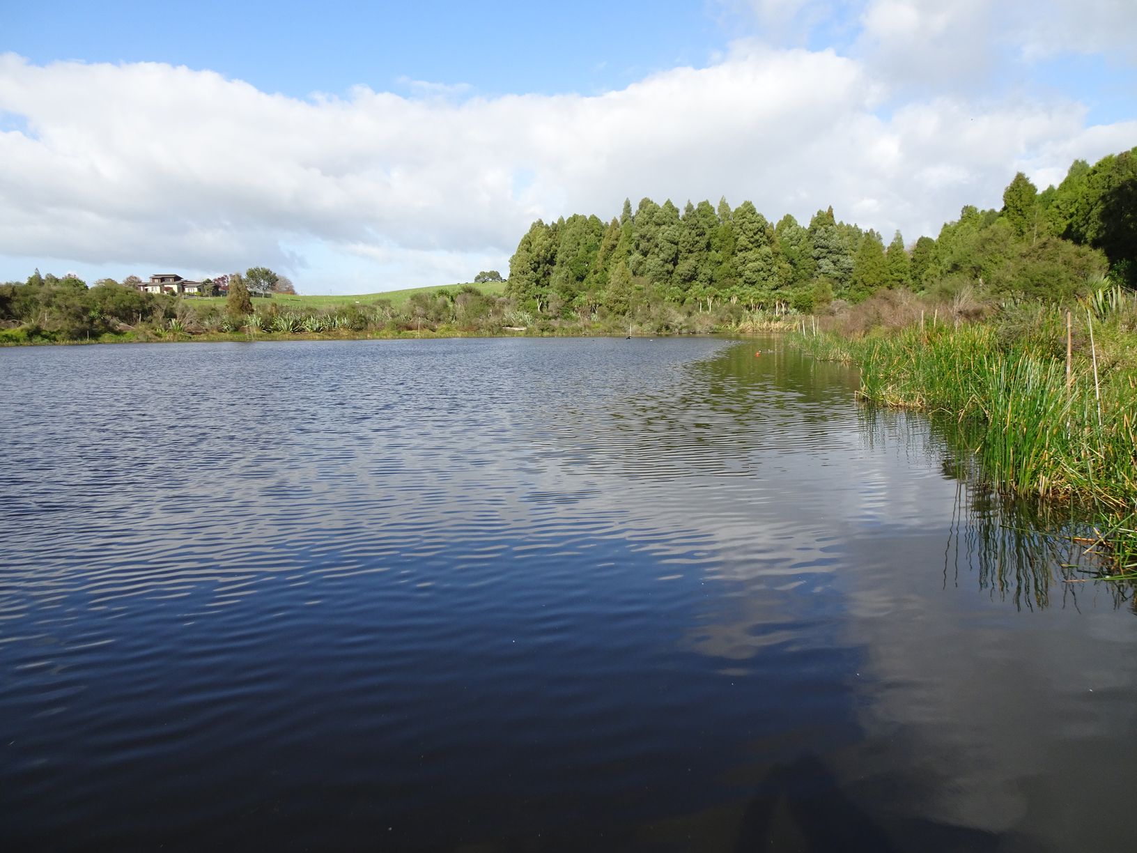
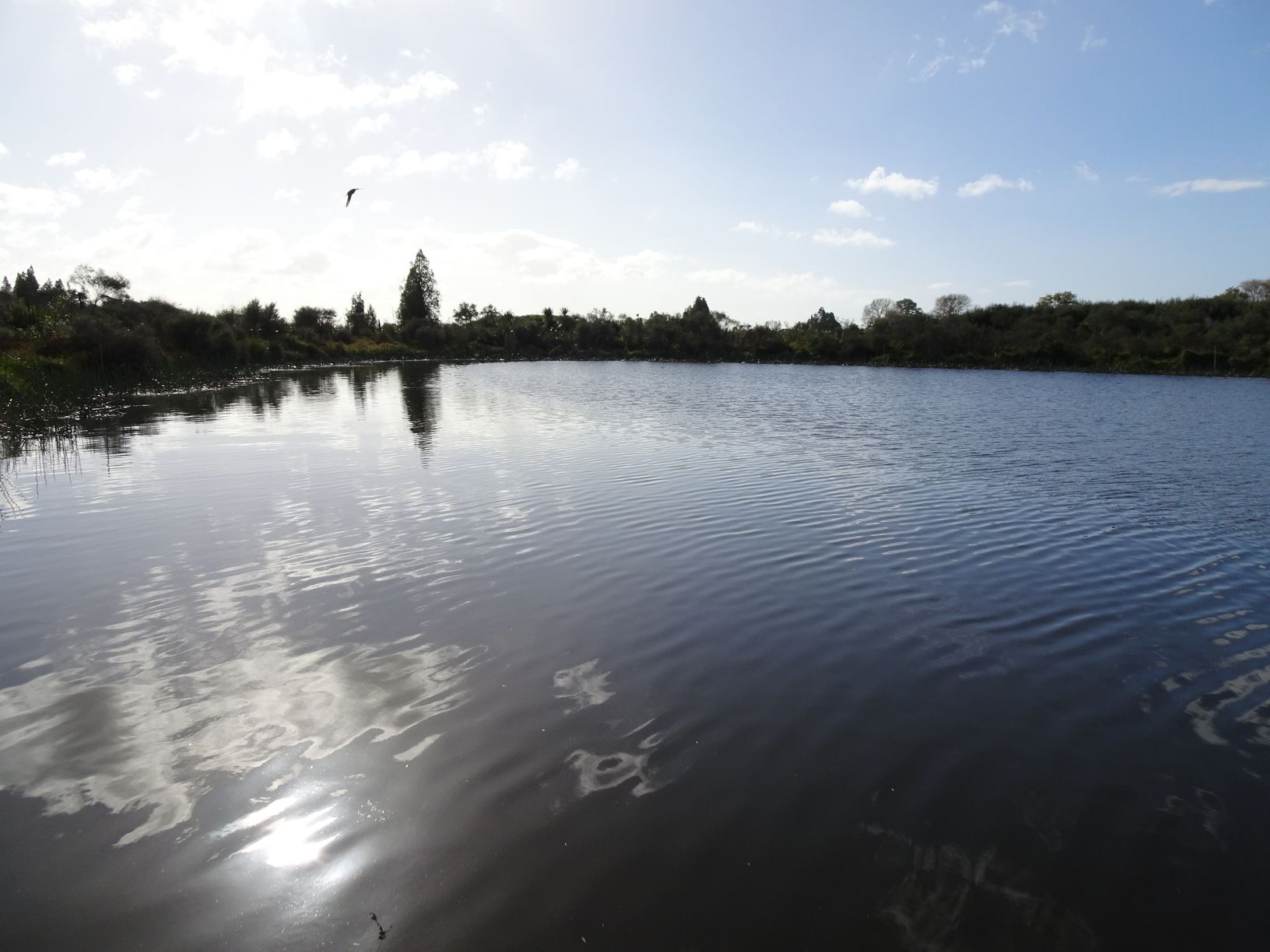
The lake viewed from the pontoon.
Another discovery station, this time with bird footprints, including pukeko.

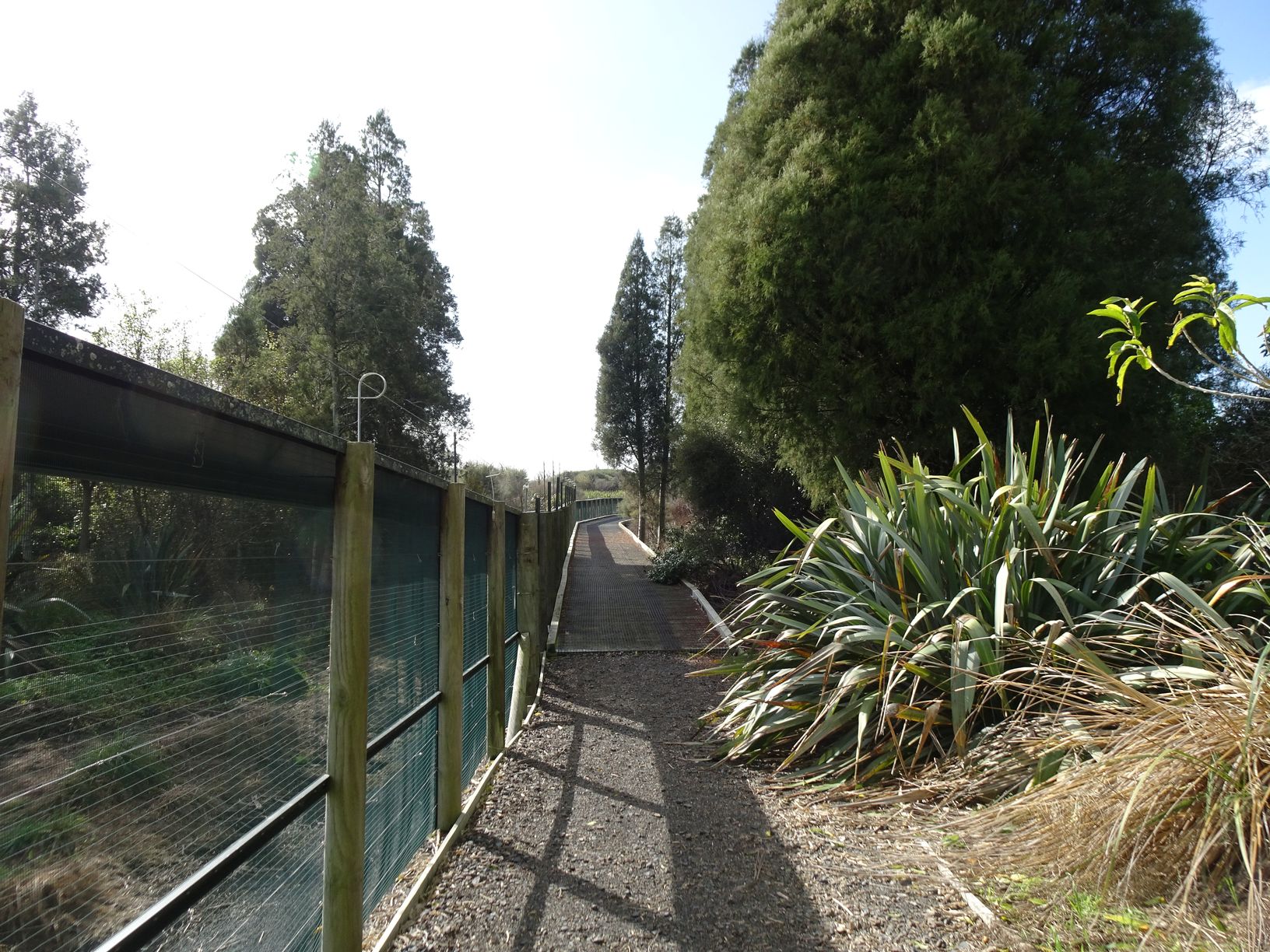
The track continues alongside the predator-proof fence. The fence is a similar construction to that found at Maungatautari. It is designed to keep out rodents, rabbits, possums, cats, dogs, and mustelids.
There’s even an Eels and Ladders game for children, using magnets for the markers. There is a box in the drain nearby, allowing large eels to exit.

A viewing platform at the southern end of the lake. The pontoon can just be seen to the right of centre.

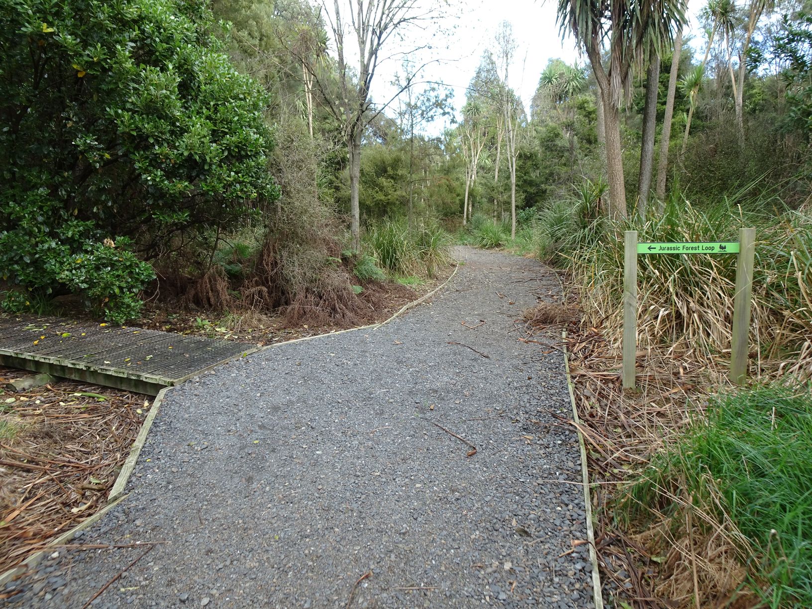
At the southern end of the lake the track to the lower right continues the lake circuit and to the exit, with the track at upper right and heading in among the trees is the start of the Jurassic Forest loop track. Apparently the kahikatea forest is known as Turney Bush.

The boardwalk entry to Jurassic Forest Loop on the left.
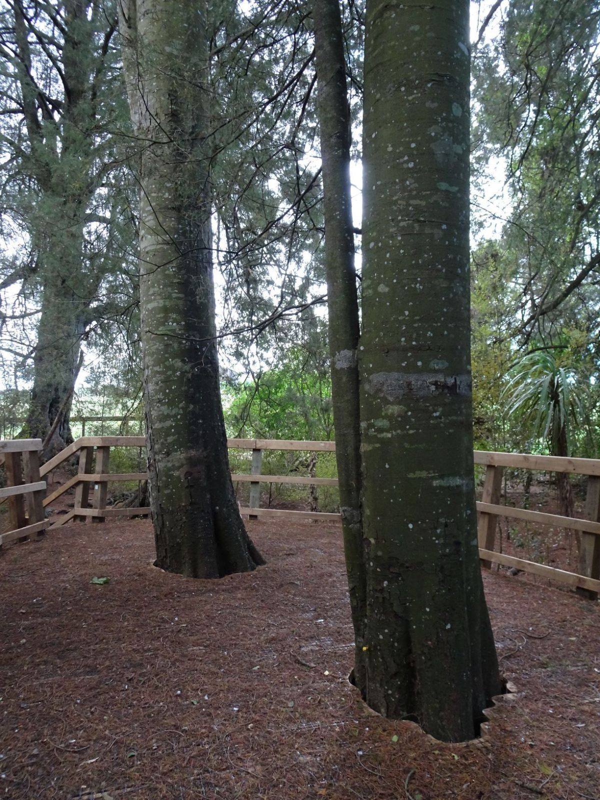
The intertwined roots from two kahikatea trees growing very close to each other. In several places a couple of kereru (wood pigeons) would suddenly fly up out of large roots with hollows. At one point there were 5 kereru sitting on a tree branch above the track.

A raised platform allows visitors to get up close to the trunks of trees without damaging the roots. There are boardwalks along a large part of the forest loop to protect the roots.
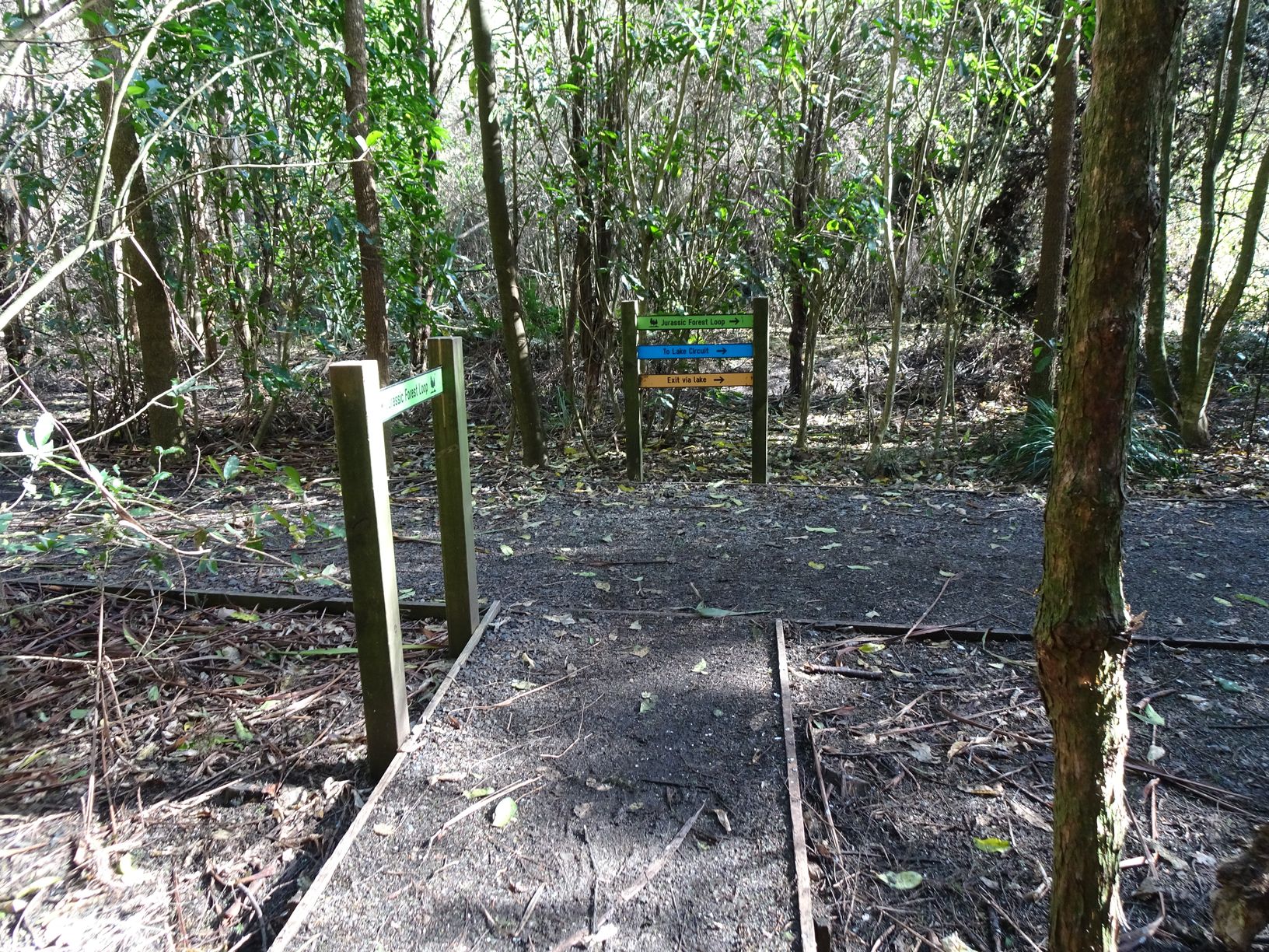
After the main part of the Jurassic Forest loop there is a track to the left continuing to the fence and an alternative exit route. The track to the right continues to the lake circuit and completes the forest loop.
The exit through the trees back to the grass area. The track seen to the right of centre is the overgrown part completing the lake circuit, which does not appear to be used.
The GPS tracklog shows the paths followed inside the enclosure, although a couple of extra tracks have been removed, such as the overgrown completion of the lake circuit. Total distance walked was 1.8km, with a total time of 45 minutes. Only a short time was spent at the discovery stations. The only steps on the tracks are at the raised platform in the Jurassic forest, with only gentle slopes in the grassed areas.
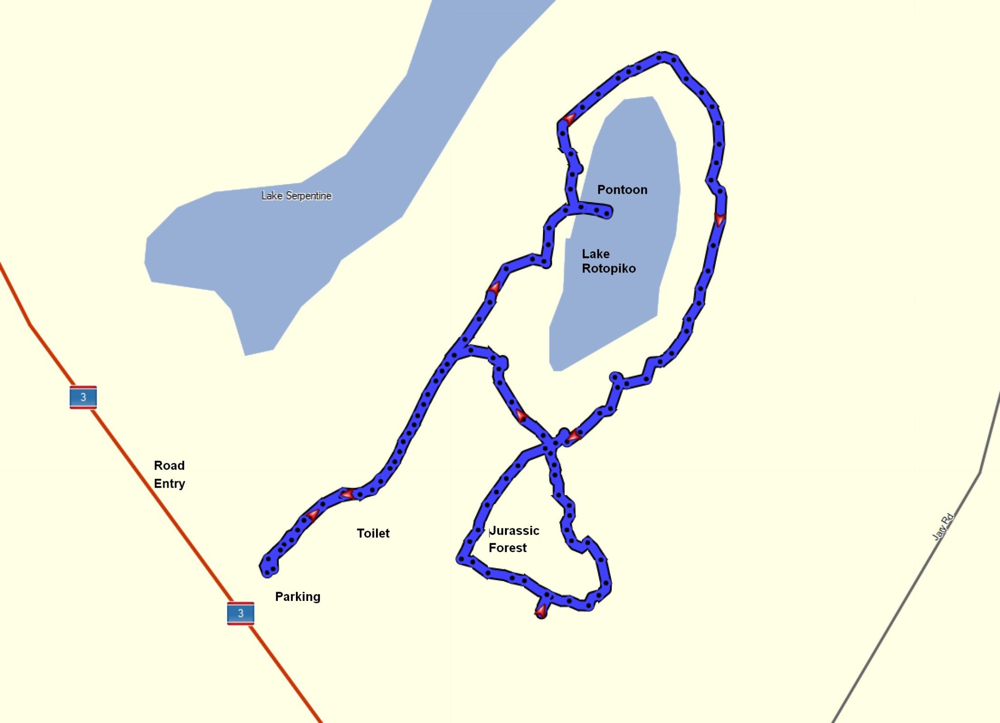
The track around the outside of the perimeter fence, not shown in the tracklog above, is 1.4 km long, and took 20 minutes. The only sloping part of the track is near the entrance, but it is uneven in places and not intended as a normal walking track.
The aerial view, taken from Bing Maps, shows the same area as the GPS tracklog.
The tracks were walked on May 25, 2022.

We did this walk on the 14 December 2024. MOST disappointing to see 4 very large rats inside the enclosure. No bird song at all, so these predators are really making their mark on this area.
LikeLike