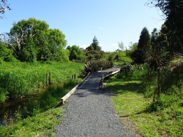
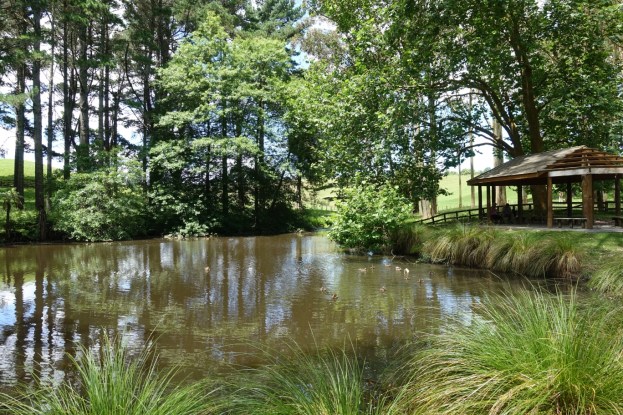
Newstead Walkway is a short, well-formed walkway at Newstead, east of Hamilton, between Vaile Rd and Morrinsville Rd/SH 26. It is about 1.1 km long with no steps and only very gentle inclines. There are some boardwalks over wet or swampy areas and a grassed area at the eucalyptus grove. A side track about 150m long leads to the northern end of Hamilton Park Cemetery and Crematorium. Dogs are permitted on the walkway, but must be kept on a leash.
Continue reading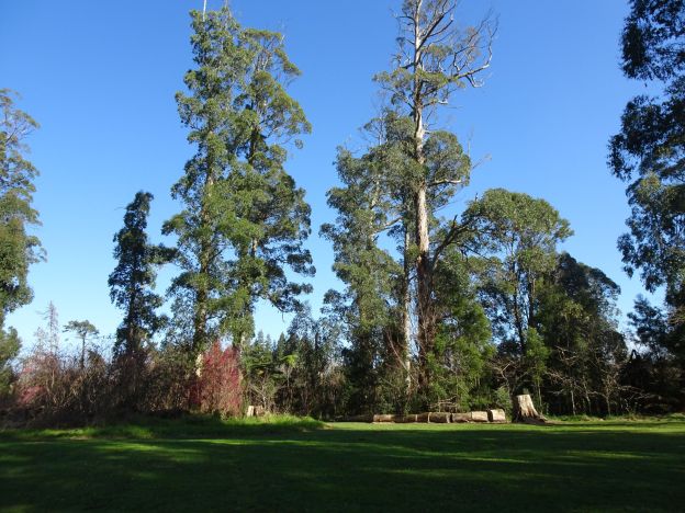
Newstead Walkway, Hamilton
Leave a reply