Tag Archives: Gold mining

Broken Hills, Hikuai

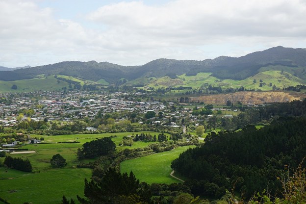
Broken Hills at Hikuai was a gold mining area in the late 19th and early 20th centuries. The mining settlement of Puketui alongside the Tairua River had about 200 residents by 1912, but production at the mines declined shortly afterwards, and only small-scale mining continued until 1923. A permanent settlement at the current DoC campsite at the end of Puketui Valley Road was planned but not built due to the decline in gold production. There are only a few relics left from the mining days, and no remains of the settlement.

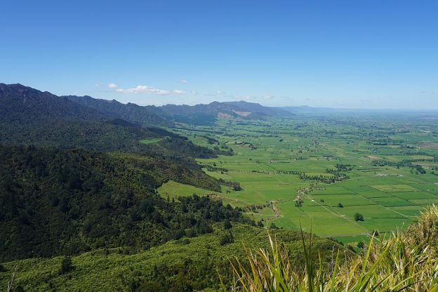
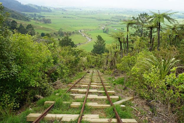
The walkways in the Broken Hills Gorge can be accessed from either Puketui Valley Road or Puketui Road. There is no road connection between these two, and the Third Branch Stream must be crossed for all access from the end of Puketui Road. This stream can be fast flowing and difficult to cross with dry feet.

Continue reading

Black Hill Walkway – Waihi

Black Hill in the Ngatikoi Domain (or Black Hill Reserve) is a 225m high hill on the outskirts of Waihi. The surrounding area contains mountain bike tracks as well as walking tracks. There is an easy, formed track around the base of the hill, and a steeper and rougher unformed track to the summit of Black Hill. Primary access to the area is from the end of Clarke Street, but it is also possible to access via walkways from Gilmour Reserve on Gilmour Street, Baker Street (off Clarke Street), and Morgan Park (off SH25/Barry Rd).

The walk can be done together with the Martha Mine Pit Rim Walkway, but in this case it was done starting at Gilmour Reserve and walking anti-clockwise around Black Hill. On the way back to the Gilmour Reserve the Mill Stream walkway to Barry Rd was also included.

Continue reading

Waiorongomai Valley – High Level Pack and Cadman Tracks, Buck Rock, Low Level Drive

One option when returning to the carpark on Waiorongomai Rd from the upper end of the Piako County Tramway is the High Level Pack Track to the head of Butlers Incline, then the Cadman (or Buck Rock or Ruby’s) Track down to rejoin the High Level Pack Track, and the Low Level Drive. From Cadman Track there is a short but steep and rough climb to the pinnacle of Buck Rock. The total distance is about 7 km.

Continue reading

Waiorongomai Valley – Piako County Tramway

The Piako County Tramway in the Waiorongomai Valley was built and financed by Piako County Council in 1882-1883 to transport ore from the gold mines in the valley to the Firth and Clark Battery at the base of the valley near Waiorongomai Village. The tramway was about 5km long, and consisted of 3 level sections, joined by 3 self-acting inclines. The longest and best preserved of these is Butlers Incline, at 400m long and 25 degree slope.

The rails on the lowest incline, Fern Spur Incline, have almost all been removed or stolen. Only two very short sections at the bottom end and at the top end have been reconstruction. There is no track following the exact route of the incline, but the High Level Pack Track does give access to both ends of the incline, and goes through a cutting where the incline passed over the track.

Continue reading

Waiorongomai Valley – Low Level, Water Race, New Era, High Level Pack Tracks

The Waiorongomai Valley, on the south-eastern side of Mt Te Aroha, has some of my favourite walking tracks. There is a combination of easy, well-formed tracks, steeper tracks, and difficult tracks, combined with rail and gold-mining history, regenerating forestry, and expansive views.

The valley is accessible from the carpark at the end of Waiorongomai Rd, off Te Aroha – Gordon Rd, just a few kilometres from Te Aroha township. There are basic toilet facilities near the carpark. The Waiorongomai Village was situated on the flat farmland next to the carpark.

Today’s walk contains a mix of track types. It starts on the Low Level Track, continues on the Water Race Track, climbs up the steep New Era Branch Track, follows the tramline to the Butlers Incline headframe, and then takes the High Level Pack Track back to the carpark.

Continue reading