Although most of Te Rae o Papamoa Track in the Papamoa Hills Cultural Heritage Regional Park has been covered in a previous post an interesting extension to the track is now shown on some of the information panels within the park. It provides an alternative to the Karangaumu Summit Track for a walk to the summit, and since it can easily connect to the Valley and Puriri Tracks and on to Maraeroa Track it can provide a longer and more varied walk within the park area.
This walk, which starts at the carpark on Poplar Lane off Te Puke Highway, takes the Karangaumu Summit Track up to the start of Te Rae o Papamoa Track, then follows this track and a service road up to the summit. On the way back it branches off at the Papamoa Pa site and follows the longer route back to the service road and the track back to the carpark. A total distance of about 7 km for a total time of 2 hours including time to visit the pa sites along the way.
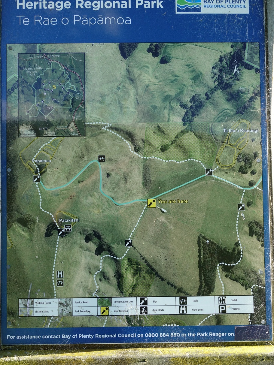
The photo map on the information panel by the carpark shows Te Rae o Papamoa as following a service road at the northern end of the track. The alternative route is more northerly, from the very sharp bend in the track at the north-western corner and alongside the patch of forest and ending at the northern end of what is shown as the Valley Track.


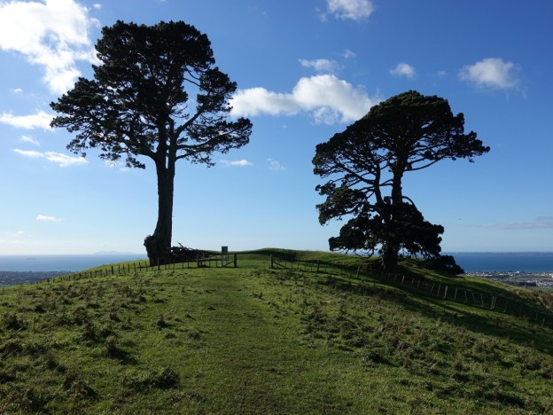
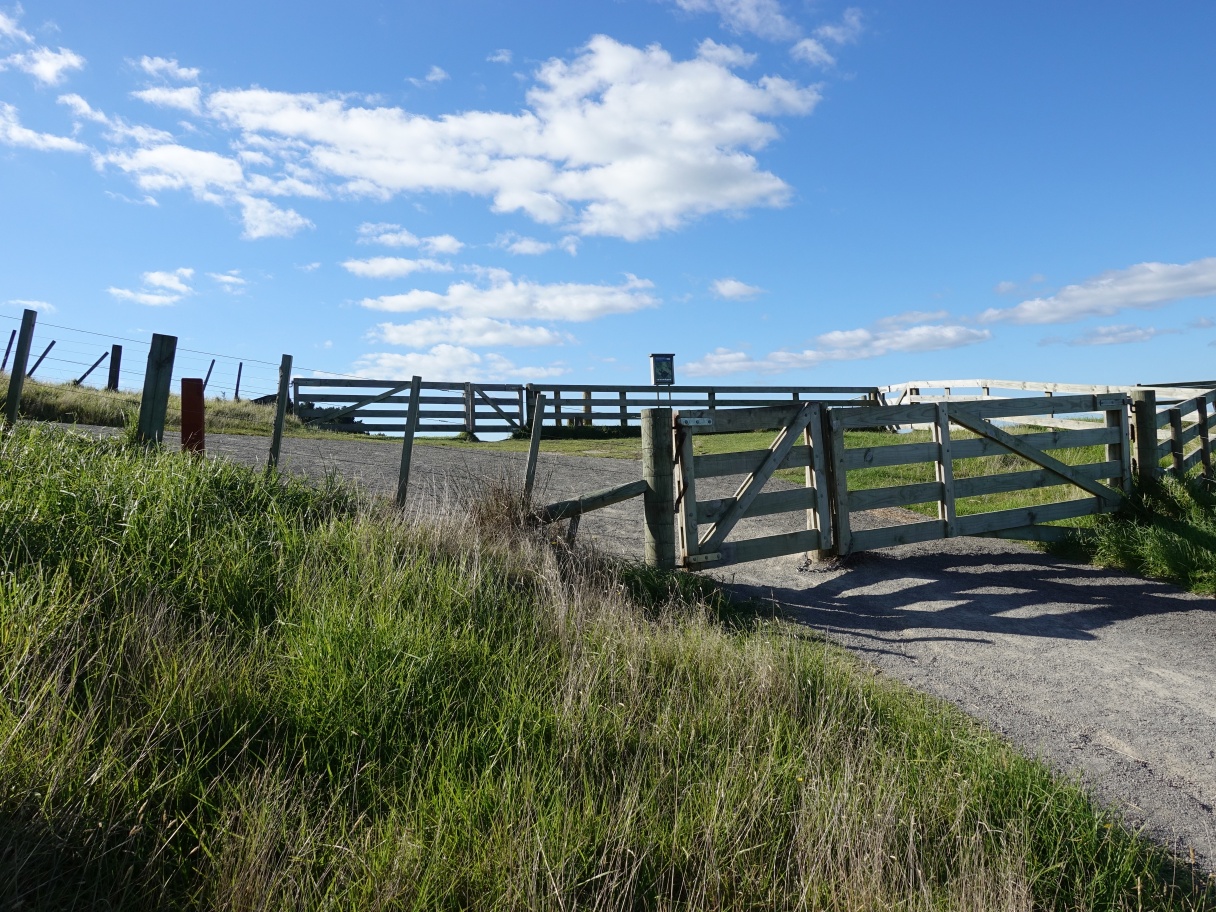
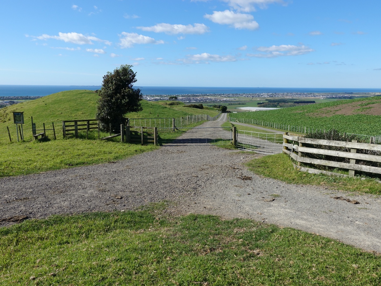
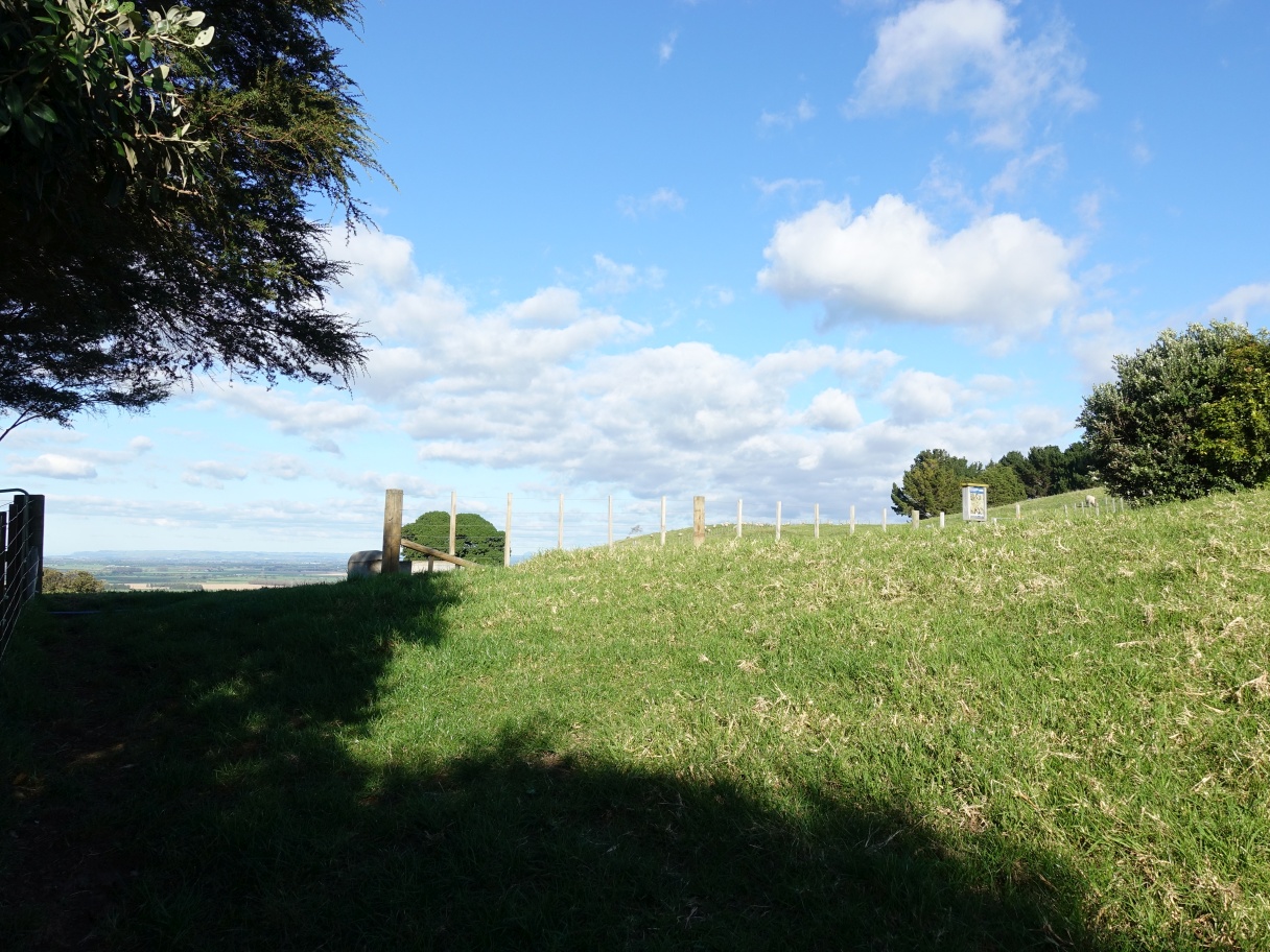
Karangaumu Summit Track continues through the first gate and branches off to the left. Te Rae o Papamoa Track starts at the far gate and continues along the hillside. An information panel shows the track locations.
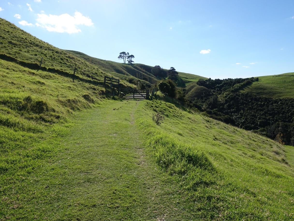
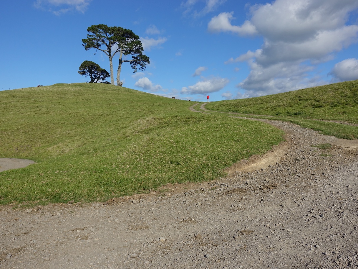
The track is wide and well formed, climbing at a very gentle rate past a valley with extensive plantings of native trees.
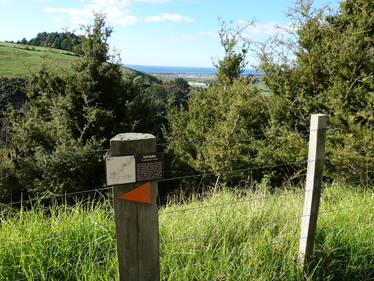
Some of the trees have identification signs with details, such as this small grove of totara trees.
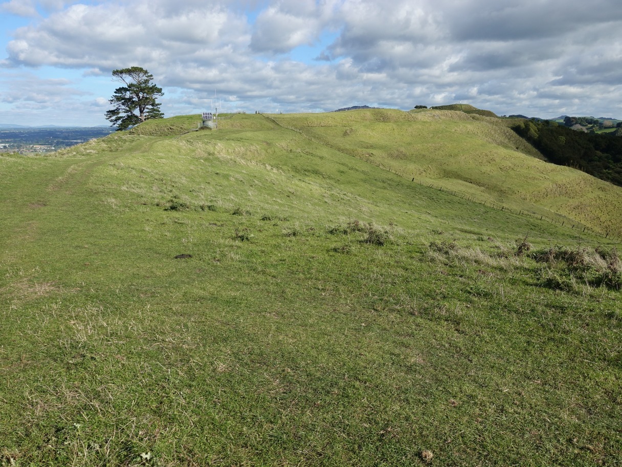
Looking back along the track towards the start just beyond the patch of newly planted trees.

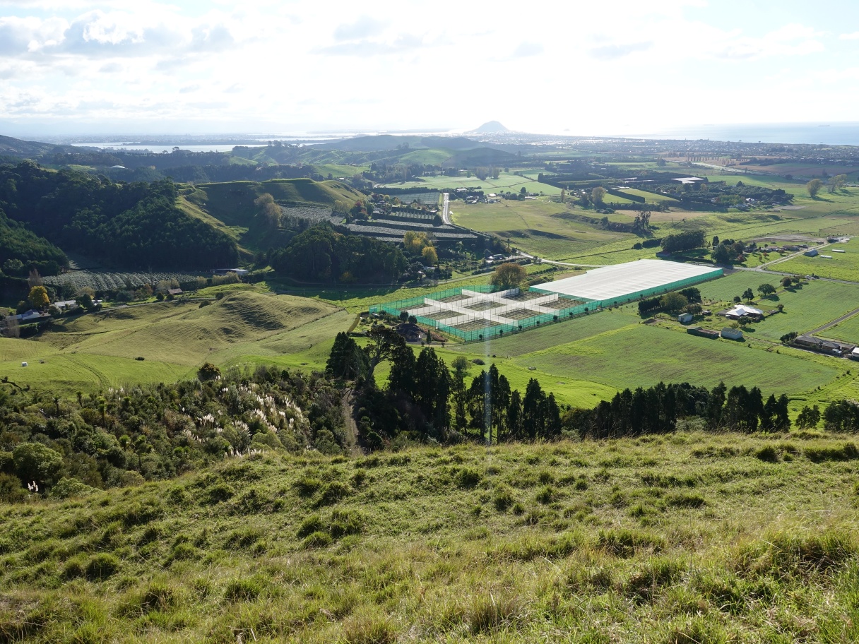
The track, formed as a service road, continues towards the woolshed and its array of photovoltaic solar panels. On a clear day Whakaari/White Island is visible in the distance.

The track arrives at a junction, with the woolshed off to the right, the service road straight ahead with Te Ihu o Ruarangi pa site behind the tree. The service road continues off to the left, which is the part used by most walkers, and which is shown on the aerial photo at the carpark as being Te Rae o Papamoa Track. The alternative track starts at the far end of the visible part of the service road.
The information panel by the woolshed junction clearly shows the service road option for crossing over to Papamoa pa site and the longer, more northerly route.
Looking down the valley from the service road the woolshed is visible on the right, and the lowest point of the more northerly Te Rae o Papamoa track option is at the bottom of the valley by the trees at the lower left.

Approaching Papamoa pa site along the service road.

Patakatahi pa site is on the left in front of the pine trees. The track continues up towards the summit.
Walking in this direction most follow the wheel tracks through the gate, but the track shown on the maps follows the fenceline to the left up to the large pine trees. That route is more common when walking the track in the other direction.

After following the wheel tracks up the hill to the ridgeline the summit becomes visible on the horizon to the right, with a radio repeater station alongside the track.
The track now comes close to the summit track, which is visible through the fence just above the stile. From here it follows the fenceline, although it’s also possible to take a short side track down to the summit track.

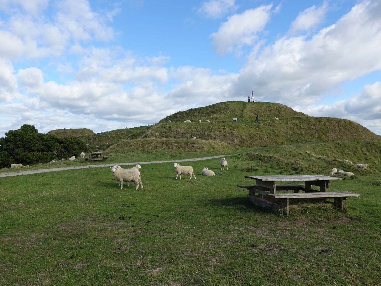
The end of Te Rae o Papamoa Track, with the trig station on the summit clearly visible, and the summit track visible above the foreground sheep.
Returning along the summit track a short distance there is a branch track to the left back to Te Rae o Papamoa Track up by the fence.

Continuing along the ridgeline to Patakatahi pa site in the gap between the trees. There is a stile and an information panel by the fence.

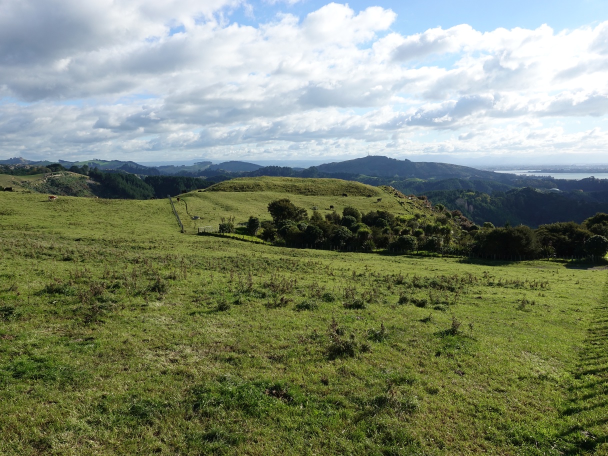
Looking across from Patakatahi towards Kopukairua, the highest point on the horizon, with Patangata pa site in front and to the left of it. Mauao/Mt Maunganui is just off the picture to the right.
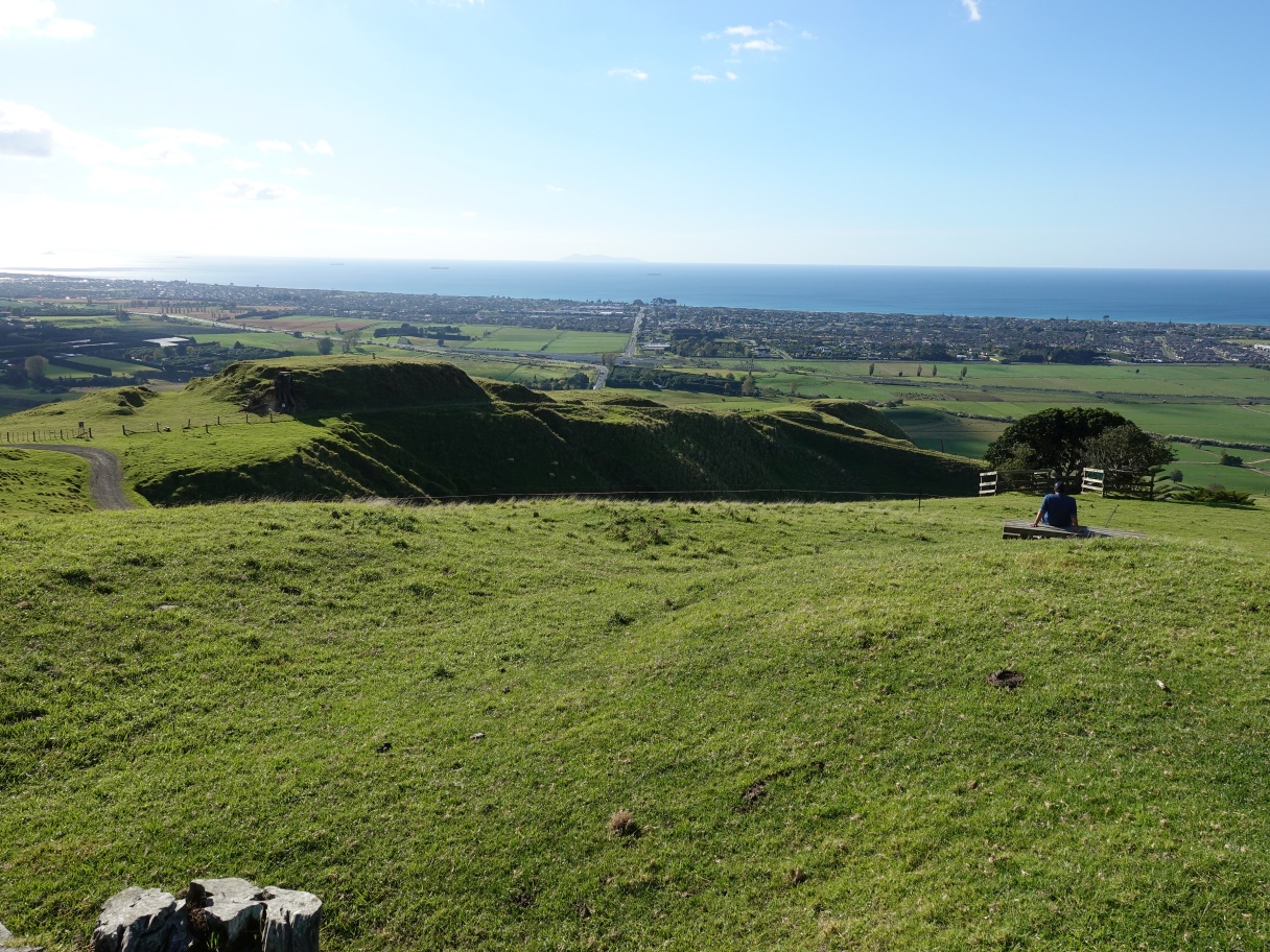
Looking down from Patakatahi to Papamoa Pa site. The track follows the fenceline down to the service road, just visible at the far left, and the pa site.
The northern part of Te Rae o Papamoa Track passes through Papamoa pa site.
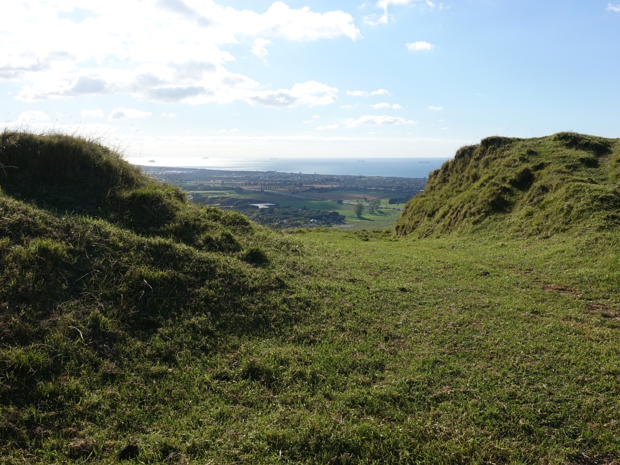
Looking from the pa site across Reid Road and Welcome Bay Road towards Mauao/Mt Maunganui in the distance at picture centre.
The track continues down the ridgeline to an unnamed pa site. Te Rae o Papamoa Track crosses the fence on the stile just above the nearest trough.

From the trough it follows the fence down a ridge before turning sharply to the right to the bottom of the valley.

The sharp right turn before a left turn to follow the valley floor down to the trees.

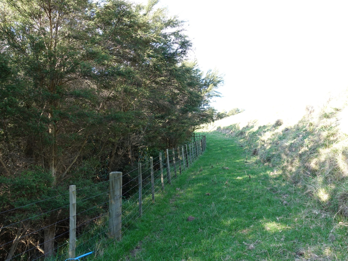
From the bottom of the valley the track continues across a stile and then alongside the fence and the trees.
The track exits through a gateway or stile near the service road and with a short track to the left leading to Te Ihu o Ruarangi pa site.
Looking back from Te Ihu a Ruarangi, with the woolshed on the far right, the service road across the centre, and the junction of Valley Track and Puriri Track on the far left.

Following the service road back to the junction by the woolshed and Te Rae o Papamoa Track back to the summit track and down to the carpark.

The GPS tracklog shows the route followed as well as points of interest along the way. Total distance walked was about 7 km and took 2 hours. This included short side tracks to pa sites and to the junction with Valley and Puriri tracks. The summit track between the carpark and the end of Te Rae o Papamoa Track is about 920 metres, with the remaining 5.1 km and 1 hour 30 minutes walking time being Te Rae o Papamoa walked in both directions.
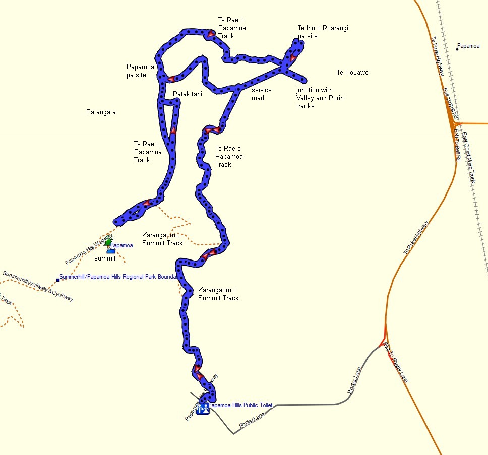
The elevation profile shows the walk with various points marked. Lowest elevation at the carpark is about 20 metres above sea level, and the highest point, not including Karangaumu summit, is about 210 metres a.s.l.

The older aerial image from Google Maps shows the same area as the GPS tracklog, with the pa sites named.

The tracks were walked on May 5, 2021 and on several previous occasions.

Thank you very very much for sharing.
LikeLike