Walkways and cycleways run through stormwater drainage reserves between Parton Road the Pacific View Road in Papamoa. They cross various streets along the way, and there are side tracks leading to streets adjacent to the reserves. This walk was done starting at Parton Rd, through the reserves to Domain Rd, along Domain Rd to Papamoa Domain, along the sand dunes through Papamoa Beach Reserve (or Papamoa Coastal Reserve), and back to Parton Rd. A total distance of about 7.7 km.
Tauranga City Council publishes a small brochure, Tauranga Walkways and Cycleways, with descriptions of various walking and cycling tracks within the city. A previous version of this brochure contained the loop walk described here, whereas the current (undated) brochure describes only the part through the drainage reserves.
The drainage reserve, also known as Papamoa Stormwater Reserve, is now known as Te Ara O Wairakei, and there are name signs at the street entrances with this name.
The loop walk can be started from various locations. There is parking available by Simpson Reserve on Dickson Rd, just off Parton Rd, along Domain Rd, in Papamoa Domain, by the junction of Papamoa Beach Rd and Parton Rd, and in other locations near the loop track. There are public toilet facilities by the beach in Papamoa Domain.
The walking track through the sand dunes is mostly through soft sand, and is unmarked except for a few locations where parts of the dunes are fenced off. Various crossing tracks connect Papamoa Beach Rd to the beach. Alternatively this section of the loop could be done by walking along the beachfront.
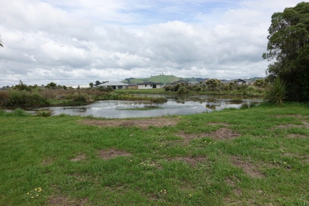
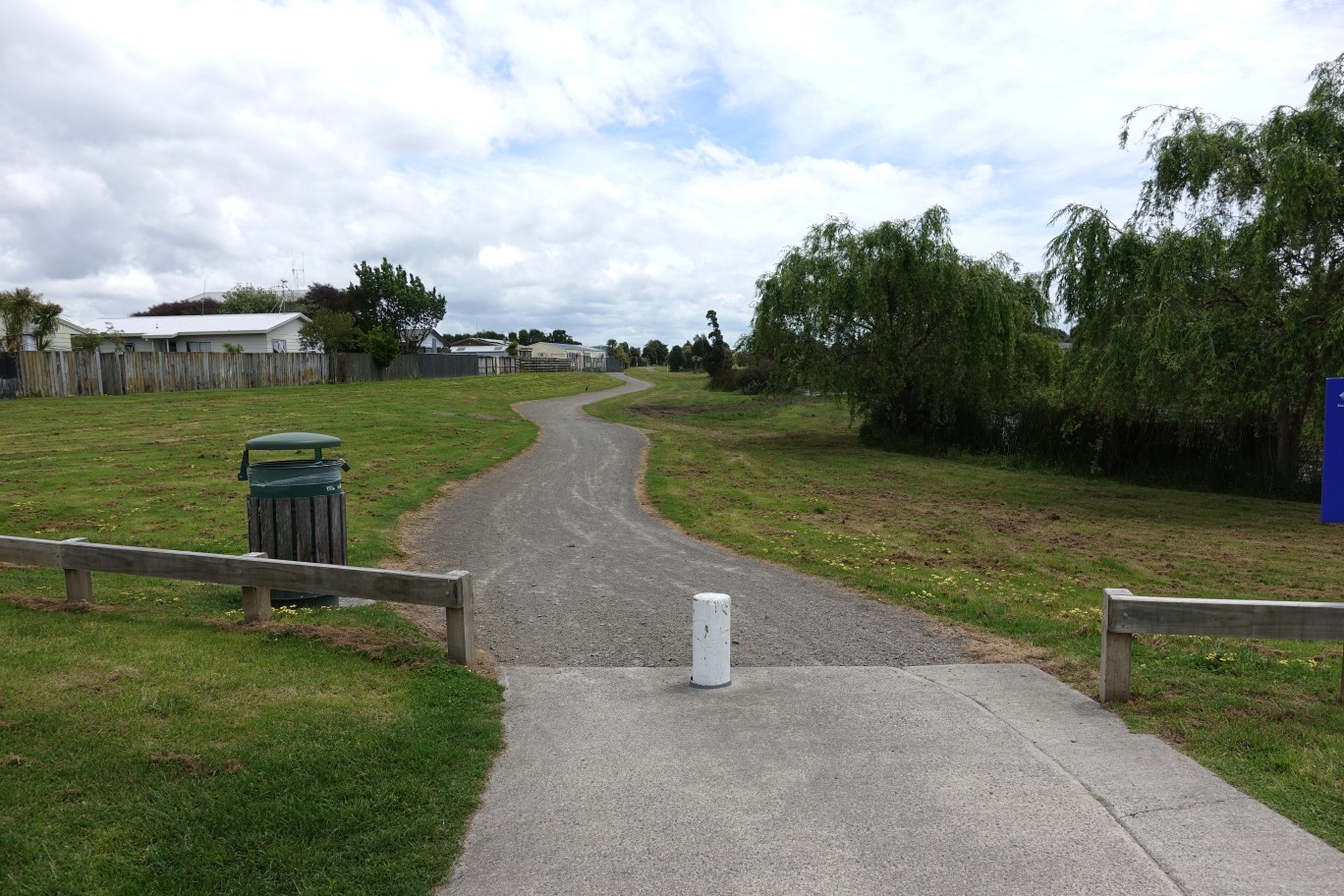
The entry on the right to Wairakei Reserve from Parton Rd.

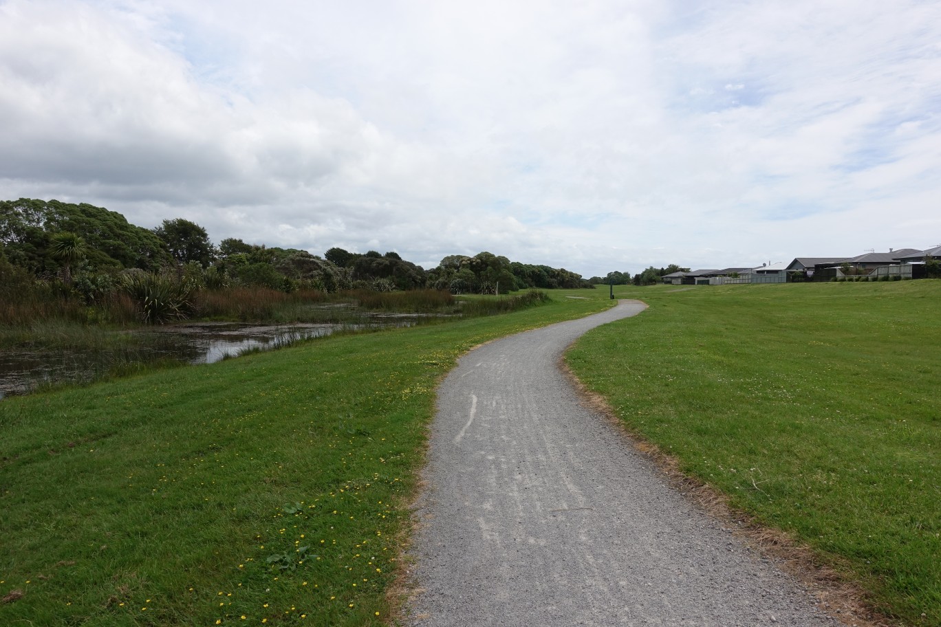
The walkway/cycleway is wide and well formed. Side track lead off to streets adjacent to the reserve. Being a stormwater drainage reserve there may be more or less water in the lake or stream at any time.
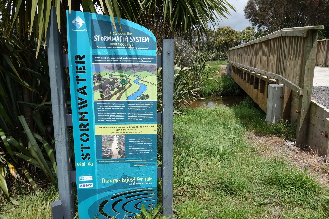
Information panels are located alongside the walkway/cycleway. Unfortunately most of them have been defaced or tagged. Somehow this one had escaped the vandals’ attention.
Looking south from the walkway to the Papamoa Hills Cultural Heritage Regional Park in the distance.

The walkway/cycleway crosses over some streets along the way. Here it is Longview Drive.
Wairakei Reserve ends at Opal Drive, with the walkway/cycleway continuing through Topaz Reserve (or Topaz Drive Reserve) across the street on the left.

The continuation of the track in Topaz Reserve from Opal Drive.
The track in Topaz Drive Reserve continues at a junction, with both branches continuing to Domain Road. The left branch exits onto Domain Rd just south of the lake/stream, and the right branch to the north of the stream.

There are signs and markers along the way, showing the tsunami evacuation routes, and the distance to the safe locations. From this sign there is a distance of 1394 metres to the safe zone.

The southern exit of the track onto Domain Rd.

The northern exit of the track onto Domain Rd.

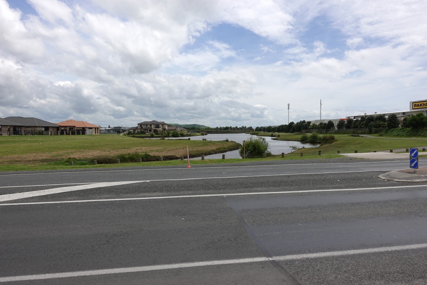
Looking across Domain Rd to the continuation of the walkway/cycleway to the right of the lake and behind the shops on the right. See the following post for a description of this part of the walkway/cycleway.
The entry to Papamoa Domain by the intersection of Papamoa Beach Rd and Domain Rd.
There is parking and toilets available at the Domain.
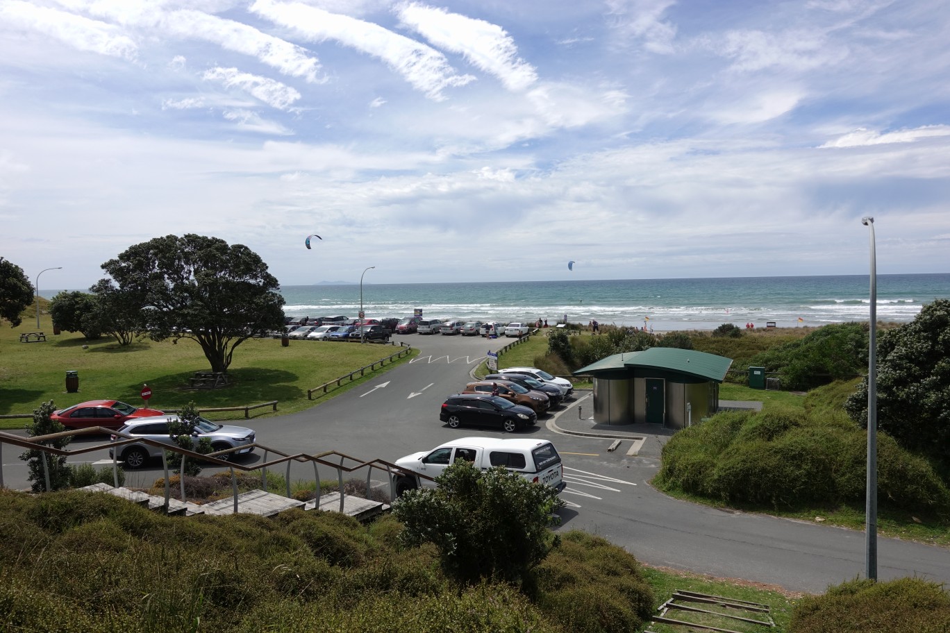
A boardwalk from the surf lifesaving clubhouse to a lookout by the start of the track through the sandhills.
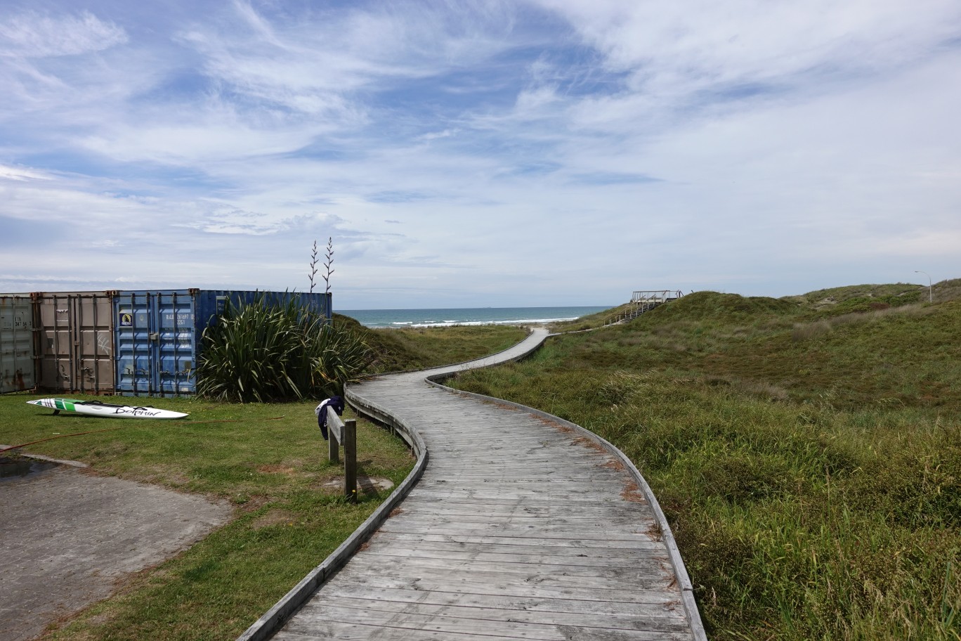
View from the lookout towards the surf club, with Mauao/Mt Maunganui in the distance.
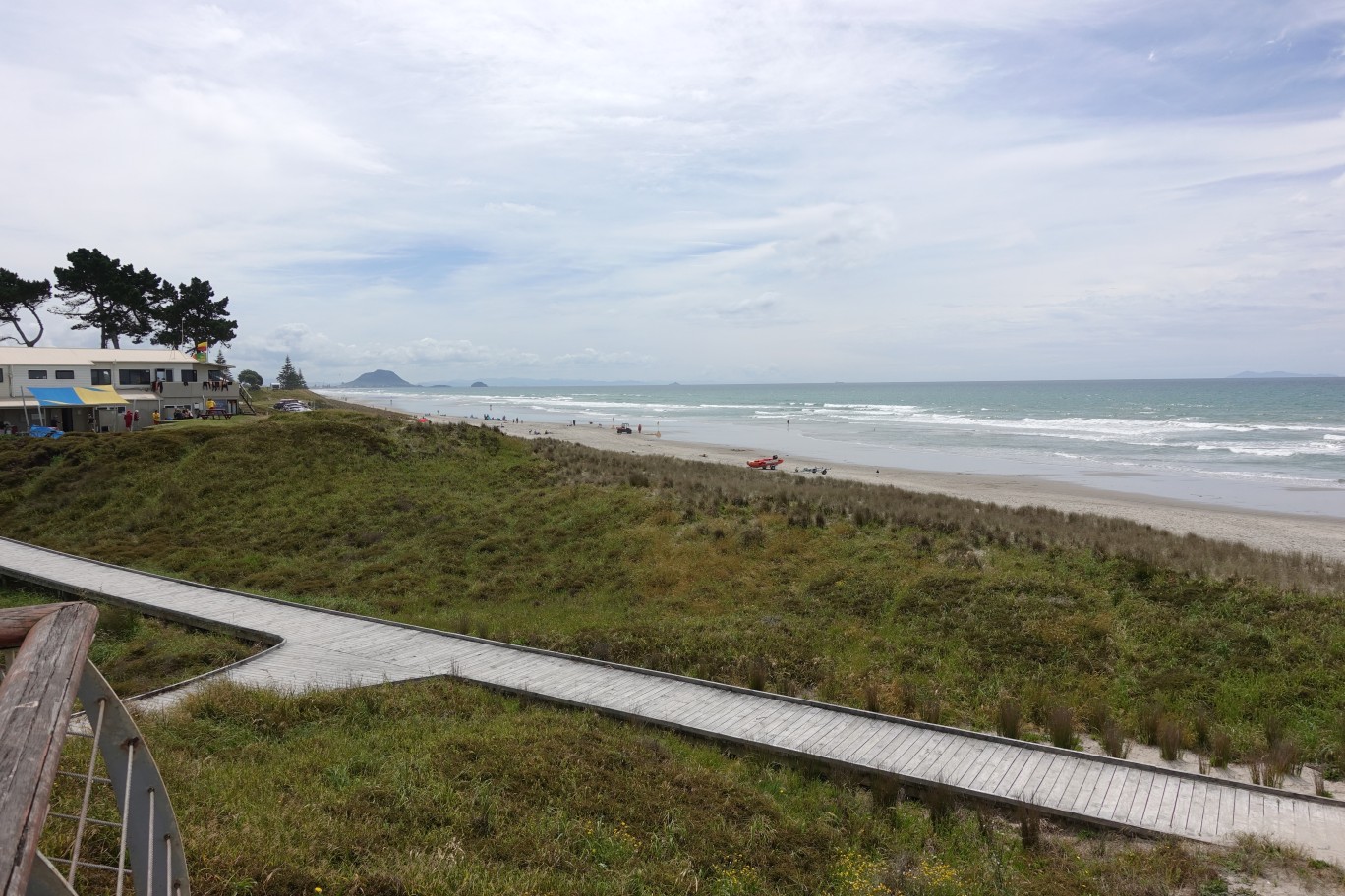
View towards the east, with Motiti Island visible on the far left.

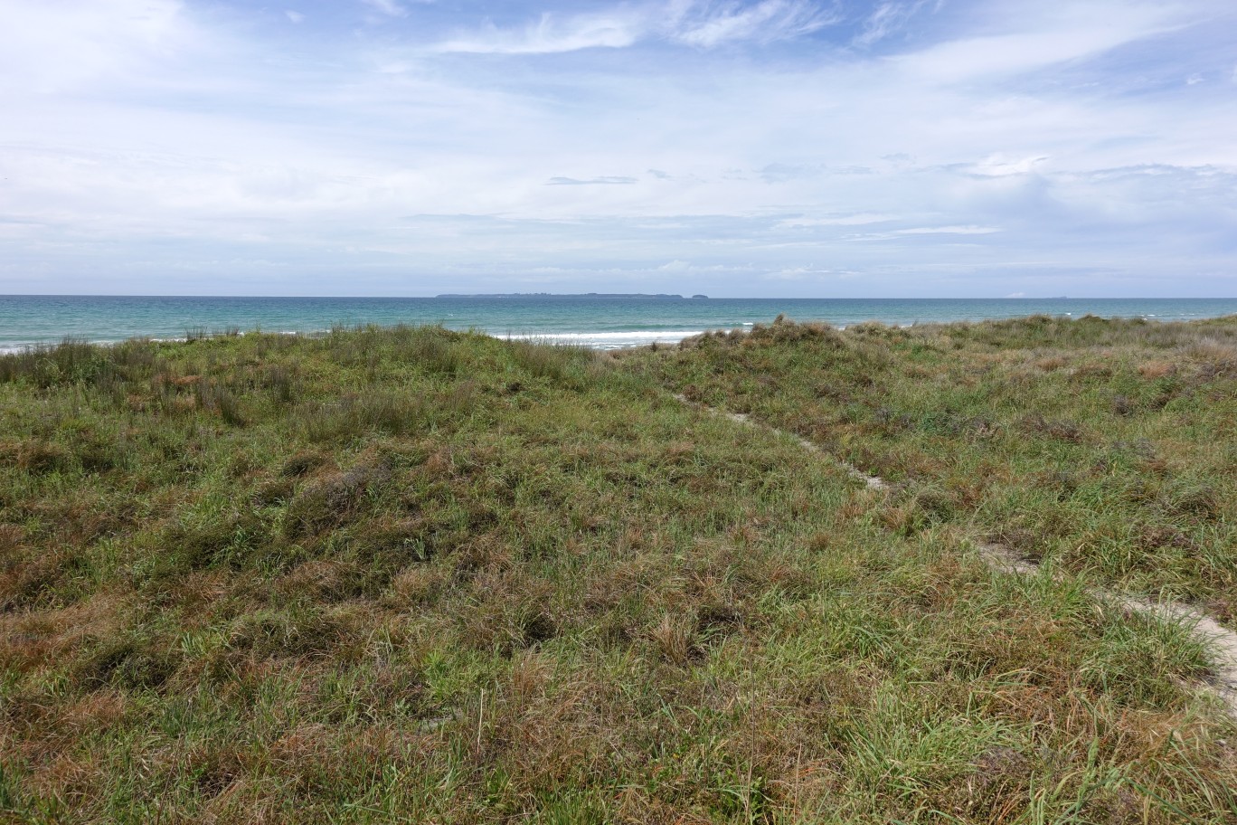
For the track through the sand dunes it is mostly a case of following where others have walked before and formed a sandy track.

Houses along Papamoa Beach Rd are visible from some locations. Papamoa Hills Regional Park is in the background to the left, with Kopukairua the hill on the right.

Various tracks connecting Papamoa Beach Rd to the beach cross over the track running along the dunes parallel to the beach. Motiti Island is in the distance at picture centre.
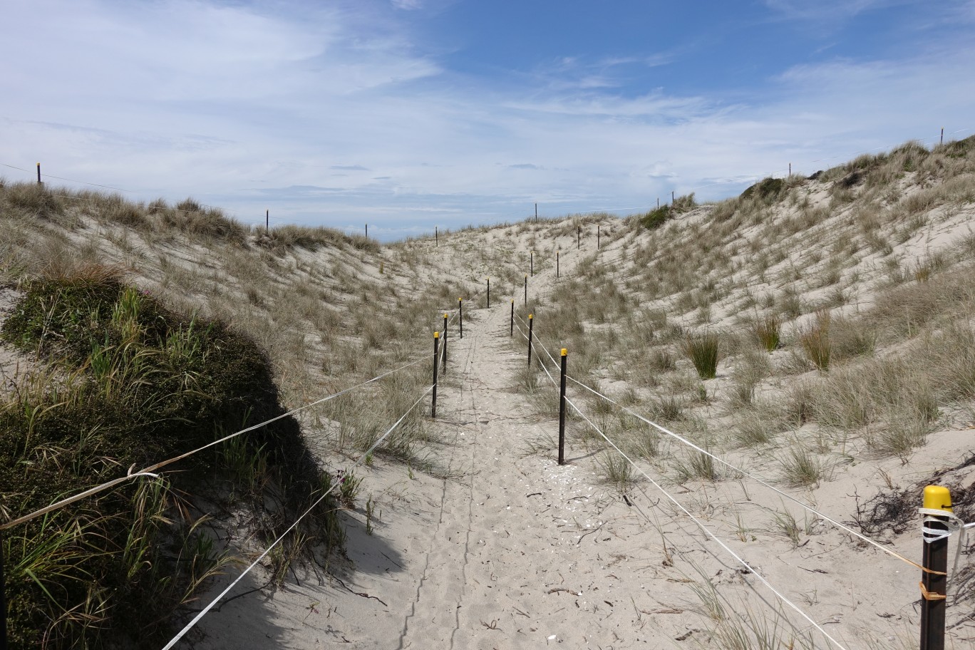
The track as it approaches Parton Rd. Occasional markers or fenced off areas can be seen alongside the track.

One of the only parts where the track is clearly marked and the surrounding area fenced off.
The side track leading up to Parton Rd. If the walk was done in the opposite direction, east to west along the beach, it would be easier to find the exit point, as the track ends near the surf club.

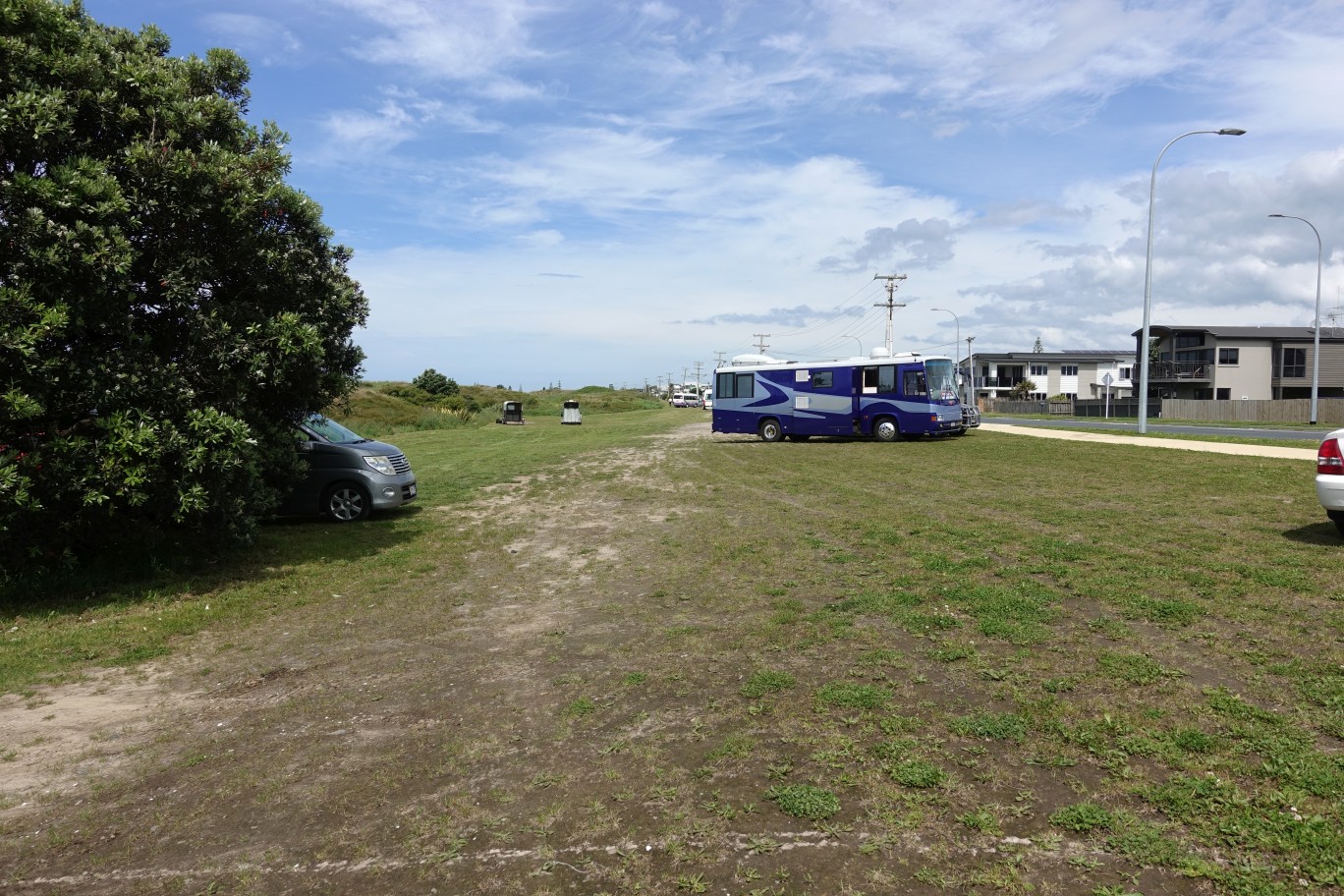
The access point to the beach and sand dune track from the intersection of Papamoa Beach Road and Parton Road.

Parking is available on the grass area by the access point to the reserve.
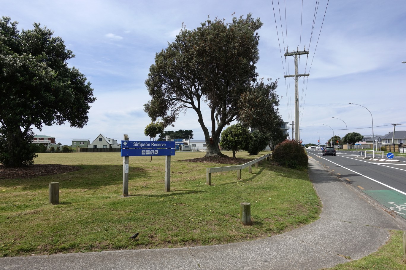
Simpson Reserve, on the corner of Dickson Rd and Parton Rd. According to the sign toilets should be available at or near the reserve.
The GPS tracklog shows the route taken. Both routes were followed at the Domain Rd end of the Topaz Drive Reserve walkway. Total distance walked, including this extra track, was 8.6 km, for a total time of 2 hours. The total distance following just one of the tracks would be 7.7 km. The distance from Parton Rd to Domain Rd through the reserves was 2.8 km, taking 30 minutes. and the distance from Papamoa Domain to Parton Rd through the sandhills was 3.6 km with a time of 1 hour.

The aerial images, from Google Maps, shows the same area. The tracks through the drainage reserves can be seen clearly, with the beachside track only visible in some places.

The track was walked on November 5, 2017. Post updated January 15, 2021 with name change to Te Ara O Wairakei.

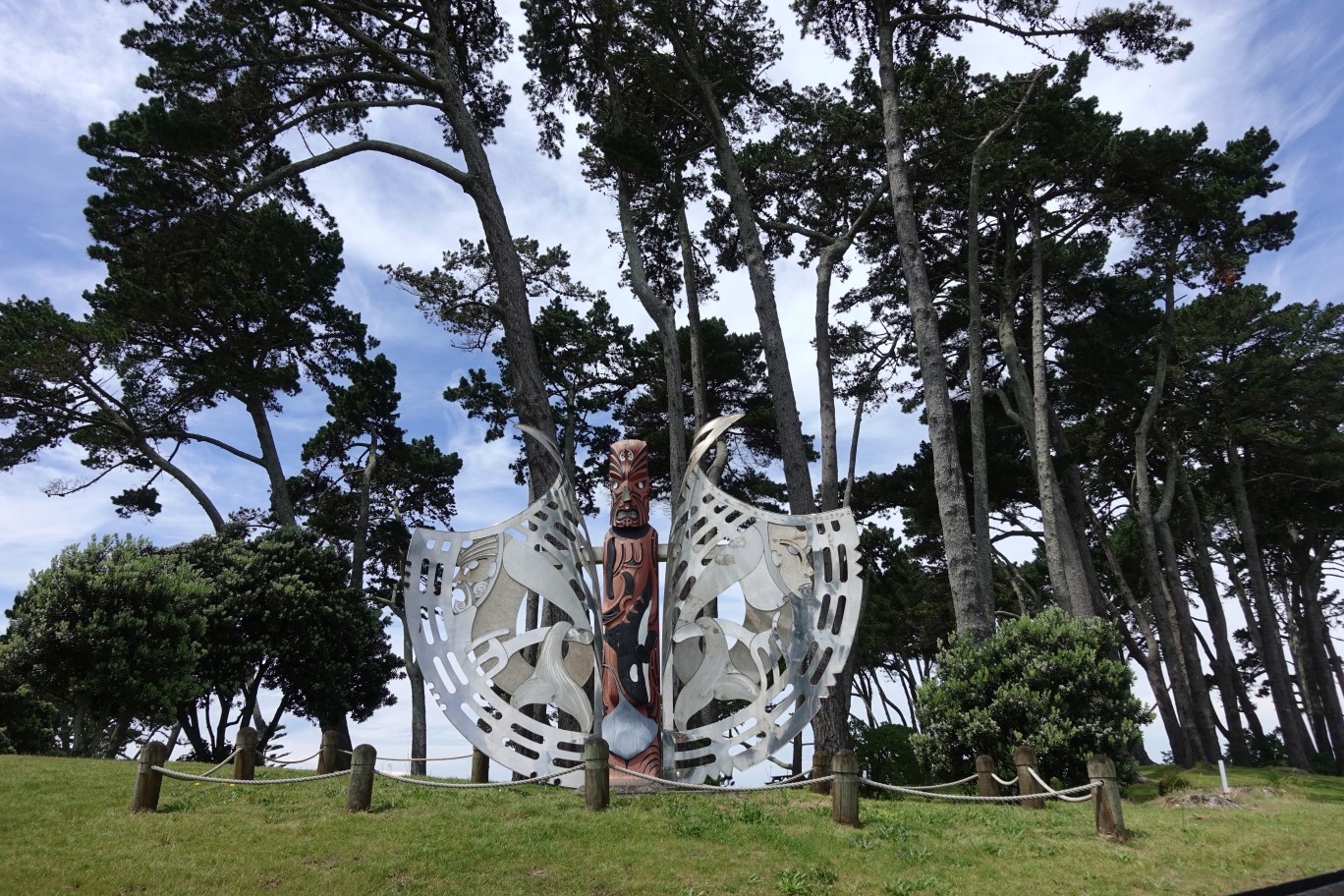
Can anyone tell me the name/s of the artists of the Sculptural work, please?
LikeLike
According to the Ngā Pōtiki web site, in an update from March 2020, the artist is Linda Munn.
https://ngapotiki.org.nz/2020/03/30/te-ara-o-wairakei-project-update/
LikeLike