
Rongomai Track, Te Auheke (also known as Cascades) Track and Tarawhai Track are all located in the Lake Okataina Scenic Reserve, near the Okataina Outdoor Education Centre, off Lake Okataina Road. Rongomai Track is also part of the Western Okataina Walkway, and is a continuation of the track described in the post Okataina Western Walkway; SH30 to Patotara. Te Auheke Track (or Cascades Track) is a loop track, starting and ending near the education centre. Te Auheke means ‘tumbling water’. Tarawhai Track can also be walked as a loop track, with one end on the access road to the education centre, and the other joining with the Western Okataina Walkway just south of the education centre.
The walk was done starting from the access road to the education centre, along Lake Okataina Rd to Patotara and the northern end of Rongomai Track, Rongomai Track from Patotara to the education centre, Te Auheke Track in a clockwise direction, and Tarawhai Track in an anti-clockwise direction back to the education centre access road. All the tracks are a fairly easy walk, with very few steps and only short ascents and descents. Total walking distance was 7.1 km, for a total time of 2 hours.
The tracks could also be walked together with other tracks near the education centre, such as those described in the post Lake Okataina Scenic Reserve; Ngahopua, Anaha and Kepa Tracks. More information about the tracks can be found on the DoC web site, and in a brochure available for download from the Rotorua District Council web site.
A few parking spots are available alongside the education centre access road, near the Tarawhai Track entry point. The nearest public toilets are at Lake Okataina.
The walk along Lake Okataina Road from the education centre access road to Patotara and the entry point to Rongomai Track is about 1.3 km long. Here the track entry point, and parking space for a few vehicles at Patotara. Also referred to as the Rongomai Carpark on a sign along the track.

The track starts with a gentle descent along a well formed track. This track continues on to SH30 by Lake Rotoiti.
After about 100 metres from Lake Okataina Rd Rongomai Track branches off to the left, towards the education centre.

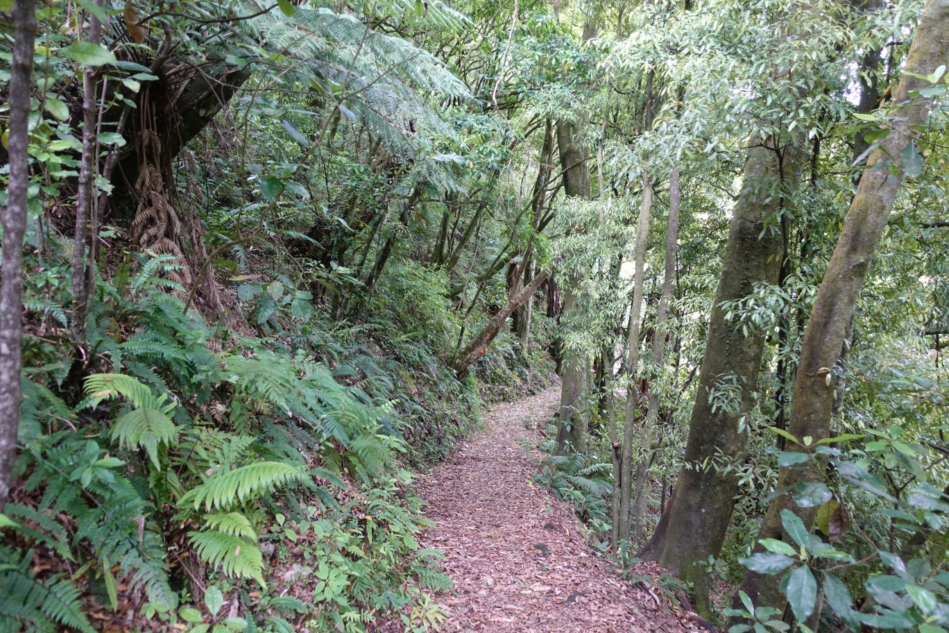
The first part of the Rongomai Track, heading uphill on the right, is about the steepest part of the tracks walked, It zig-zags its way up the hillside.

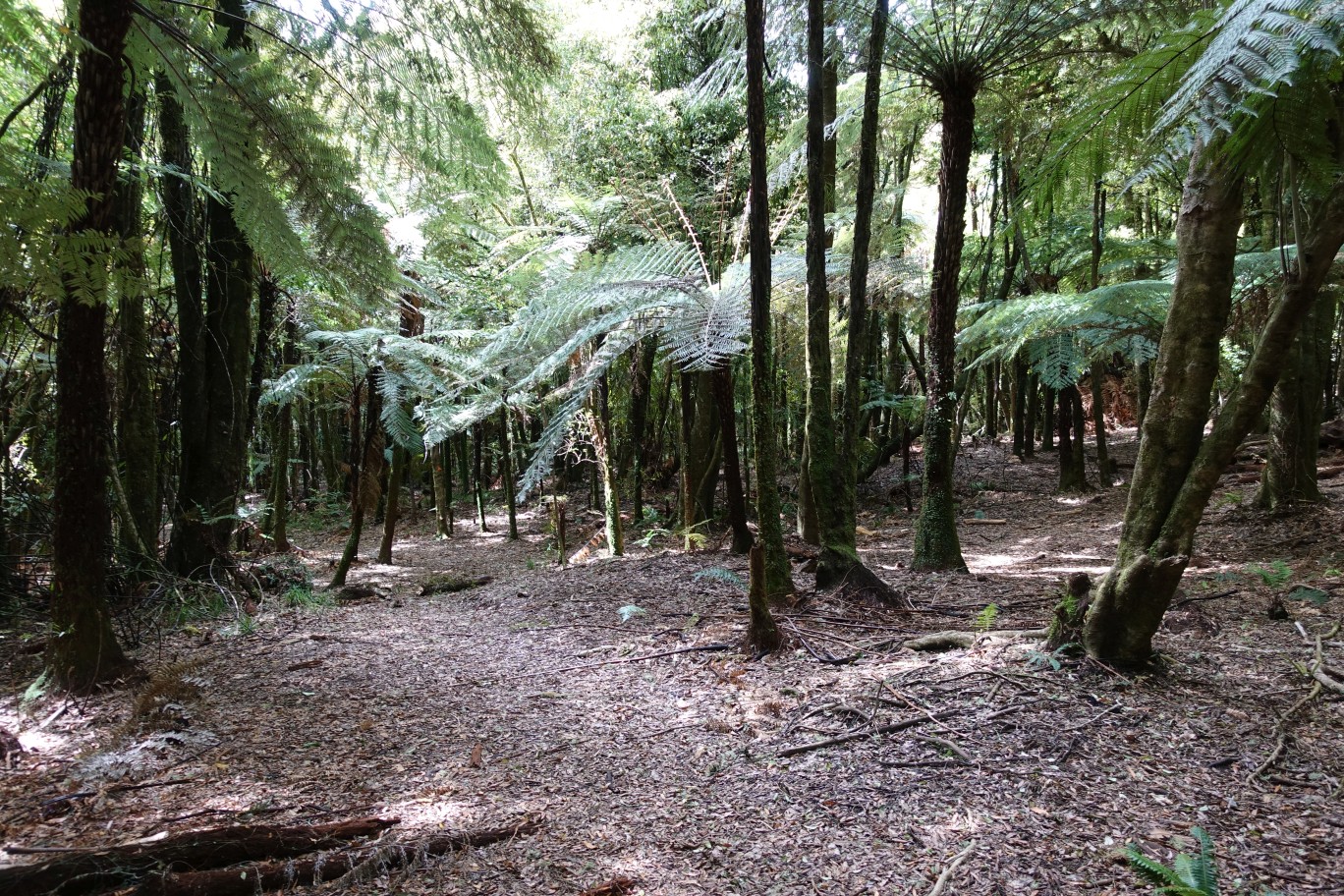
The track then follows a ridgeline for a short distance, before a gentle descent.

The tracks are mostly well marked, with orange triangles, signs, and small posts. An older track to Lake Okataina Rd on the left is permanently closed.
In some places the signage is necessary, as the track location isn’t always obvious.

Almost all the track is in the shade of the tree canopy, with a few more open spaces.
One end of Te Auheke Track connects with Rongomai Track a short distance from the education centre.

Te Auheke Track branches off to the right, with the education centre a short distance along the track to the left.
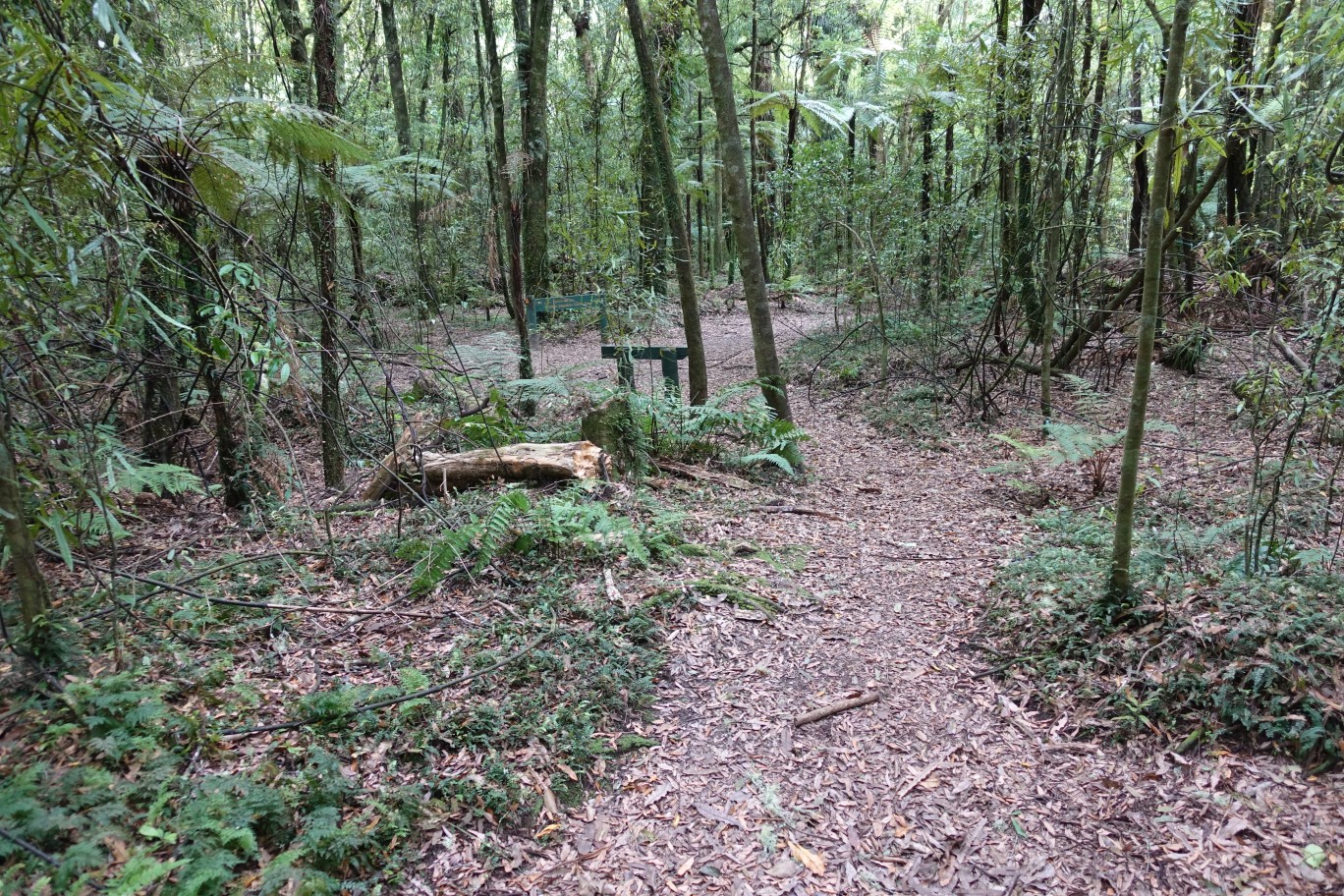
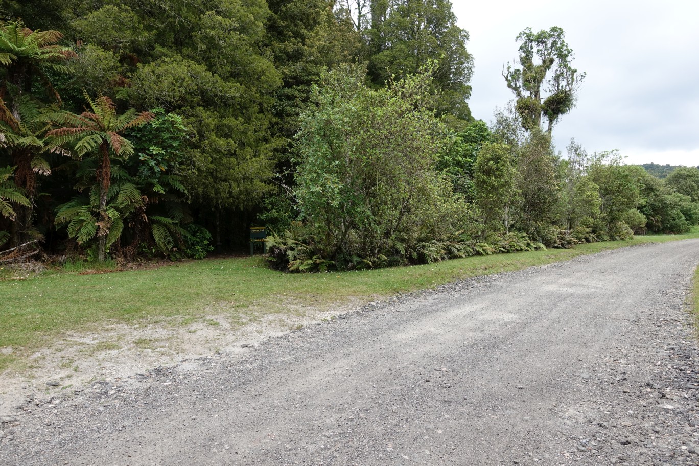
Rongomai Track ends by the fields of the education centre. Following the posts to the far right is the Western Okataina Walkway, with the end of Te Auheke Track a short distance along, and the information panels for the reserve and other tracks further along.
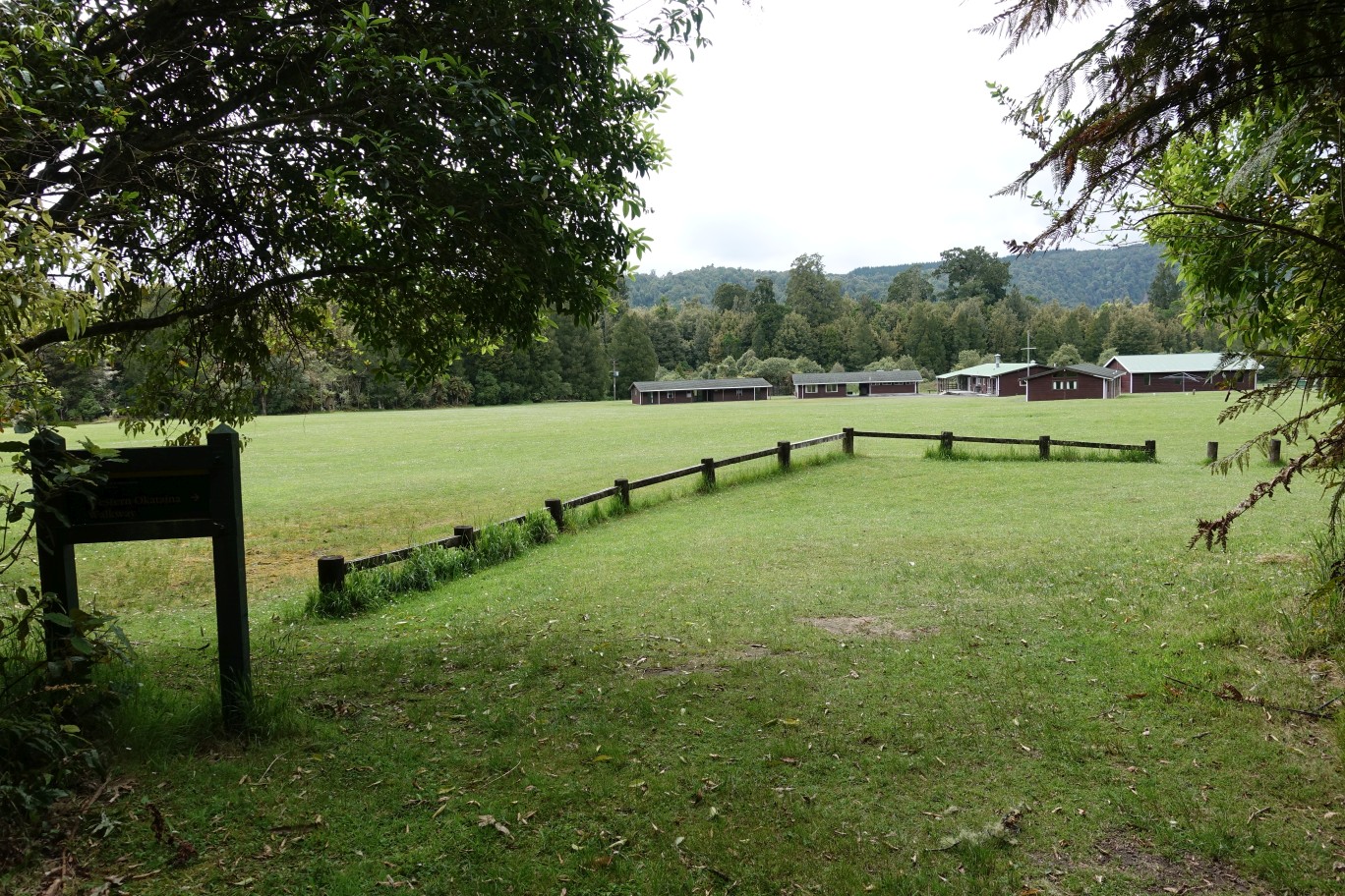
Looking back onto Rogomai Track entry point by the education centre fields.

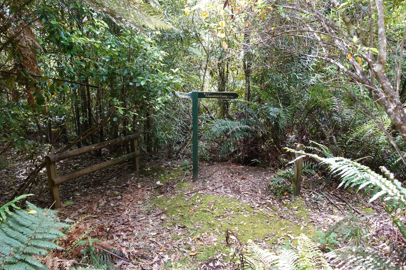
Te Auheke Track starts about 70 metres from the end of Rongomai Track.

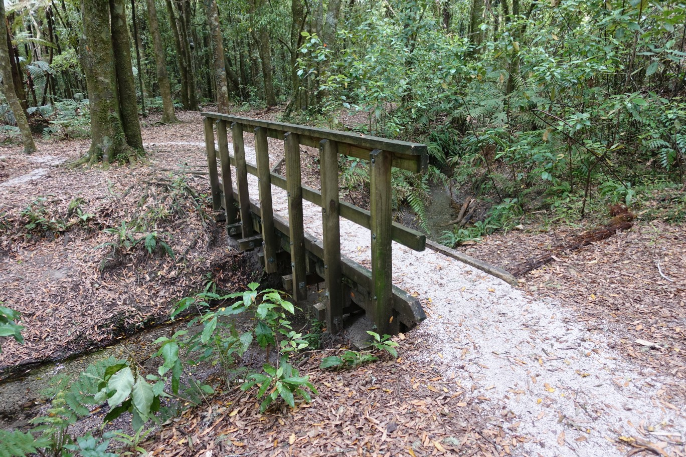
Near the entry point the track crosses a small stream.
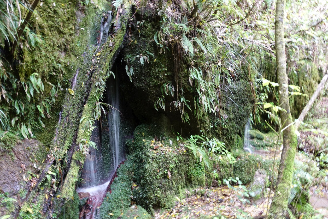
On the way to the cascades there is a smaller waterfall.
The track on the far left is a short track to the cascades, returning the same way. The bridge and track to the top right continues on to the junction with Rongomai Track.
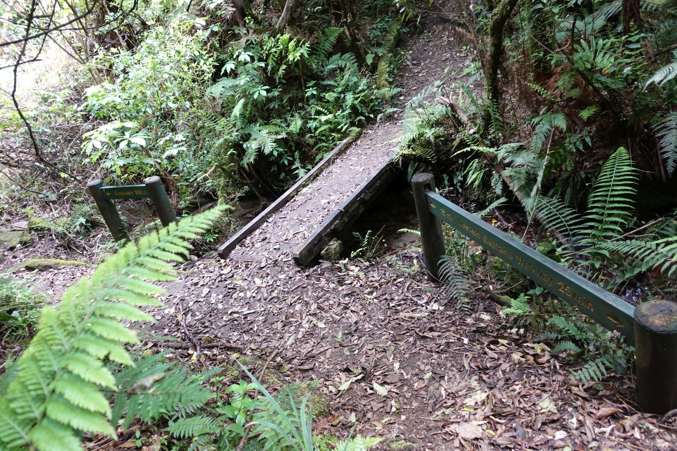
The track to the cascades starts out with a short rocky section, but is mostly an easy walk.

The Cascade Falls, with water tumbling down a cliff face about 10 metres high. Although it looks considerably higher.

Back at the bridge, the track to Rongomai Track starts with the only formed steps on all 3 tracks walked. About 8 steps in total.
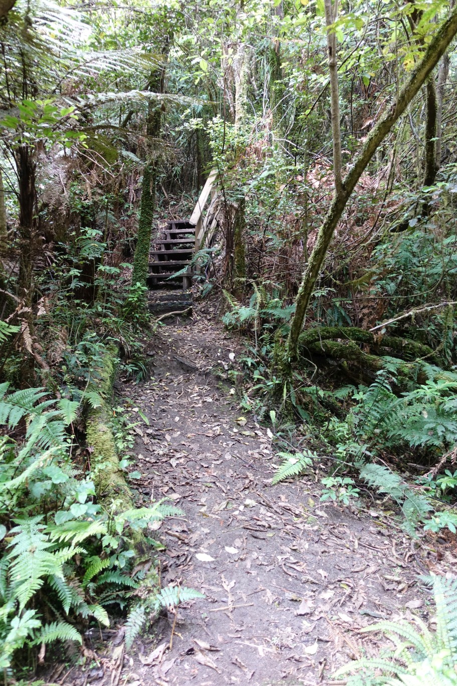
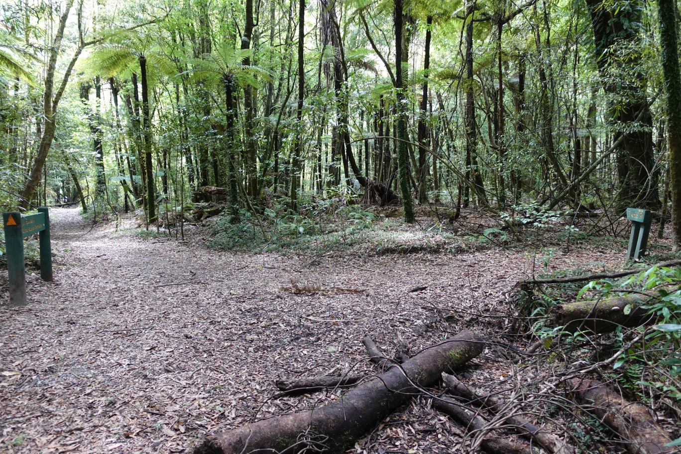
Back at the junction of Rongomai Track and Te Auheke (Cascades) Track.
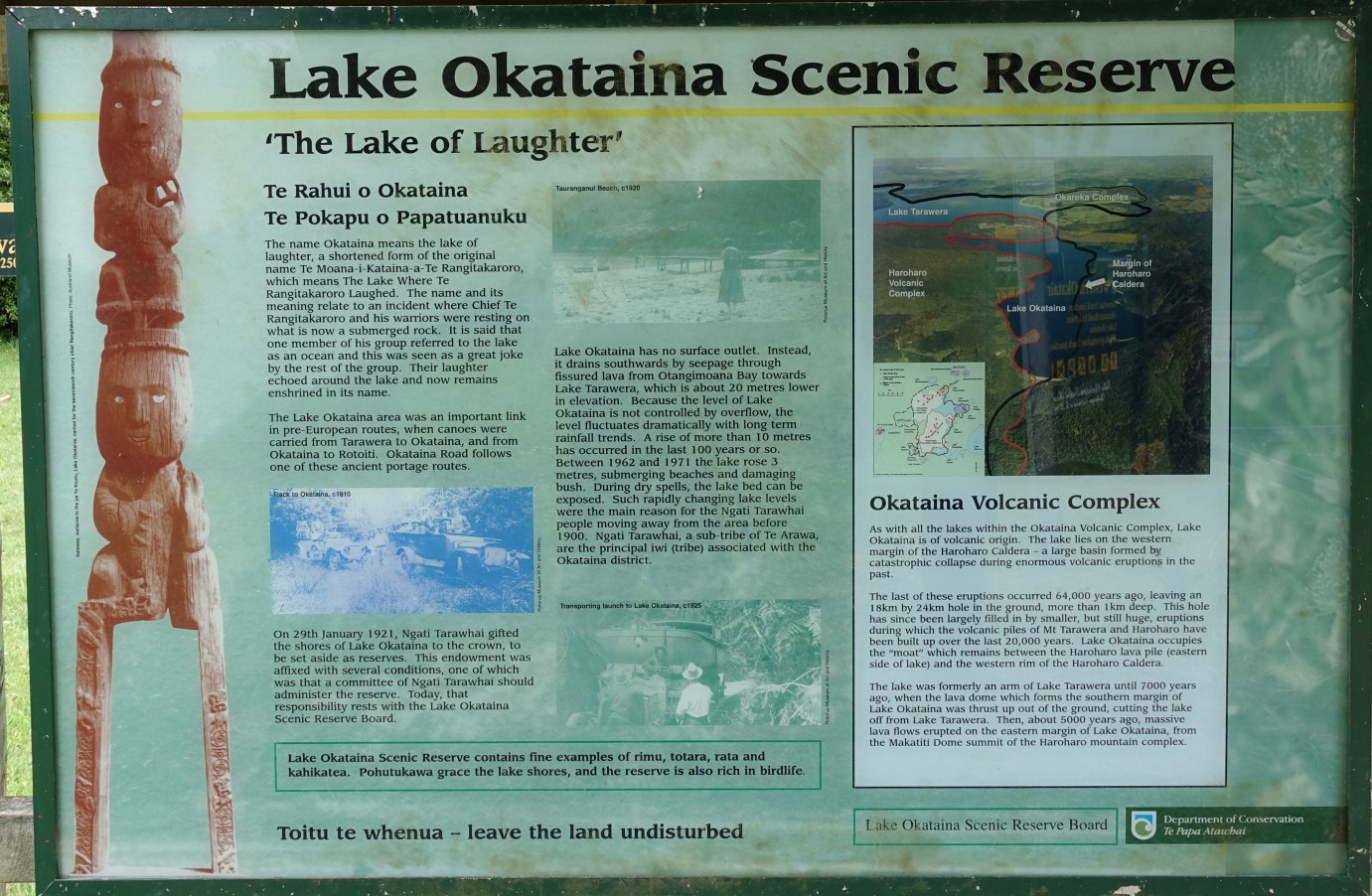
At the education centre there are information panels with track data and information about the Lake Okataina Scenic Reserve. The Western Okataina Walkway continues southward, along the sandy track seen through the entrance portal.

One of the information panels with a history of the reserve. Lake Okataina is ‘The Lake of Laughter’.
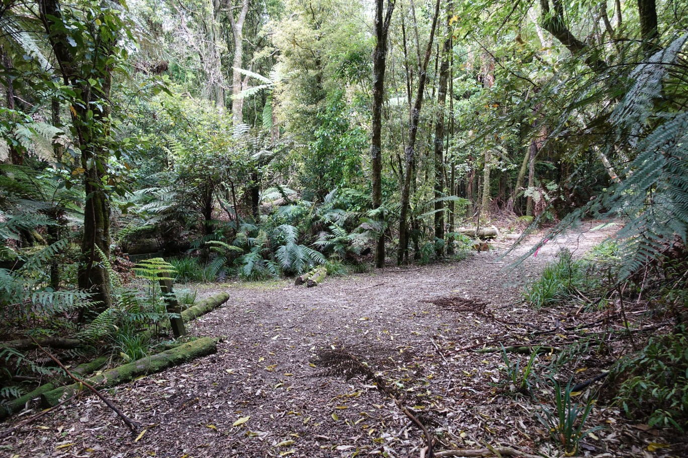
Tarawhai Track branches off the Western Okataina Walkway about 400 metres from the entry portal, along the sandy track to the right of the sign.

Looking back from the sandy track to the entry portal and the outdoor education centre.

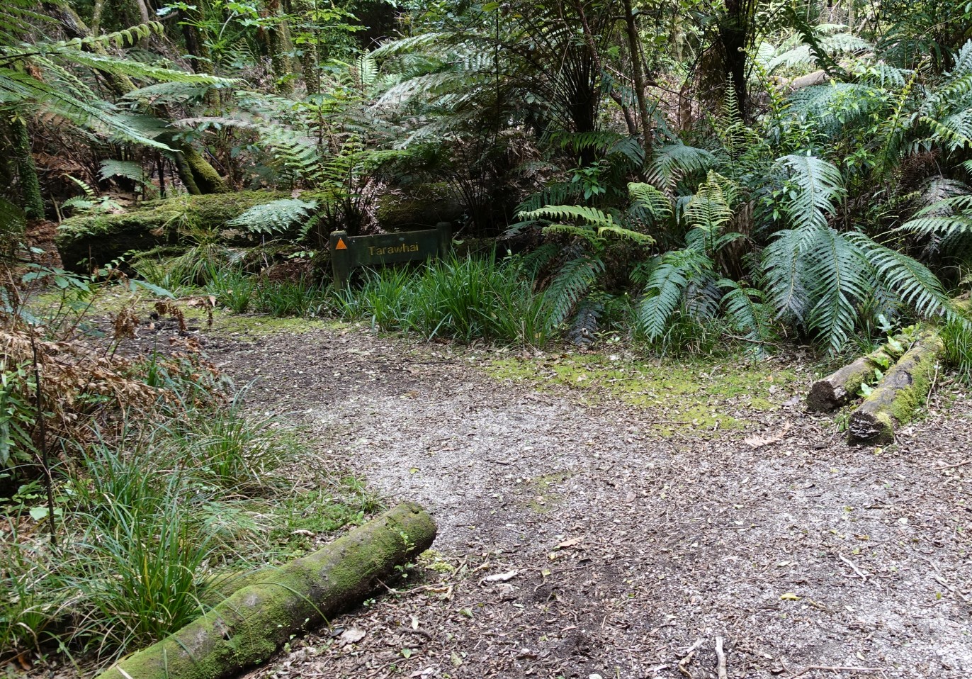
Western Okataina Walkway continues on the right, with Tarawhai Track heading off to the left.
The track sign is perhaps not too obvious, being almost hidden by vegetation.
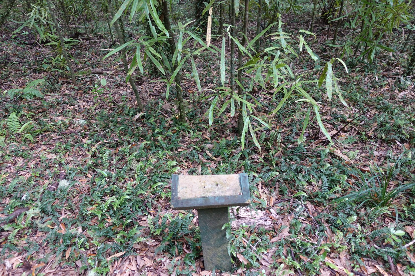
Several of the trees and plants along Tarawhai Track have names and details indicated on plates.

Unfortunately many of these plates are broken, all seemingly with the top half deliberately broken off and the information missing.
An interesting tree stump remains from an old tree alongside the track.

All inclines and descents on Tarawhai Track are very gentle.
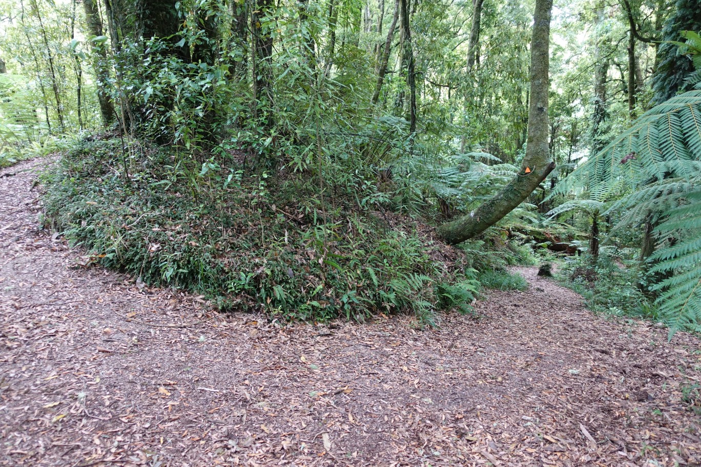
A small grove of old trees shortly before the track exits onto the education centre access road.

The track exit (or entry) point on the education centre access road.
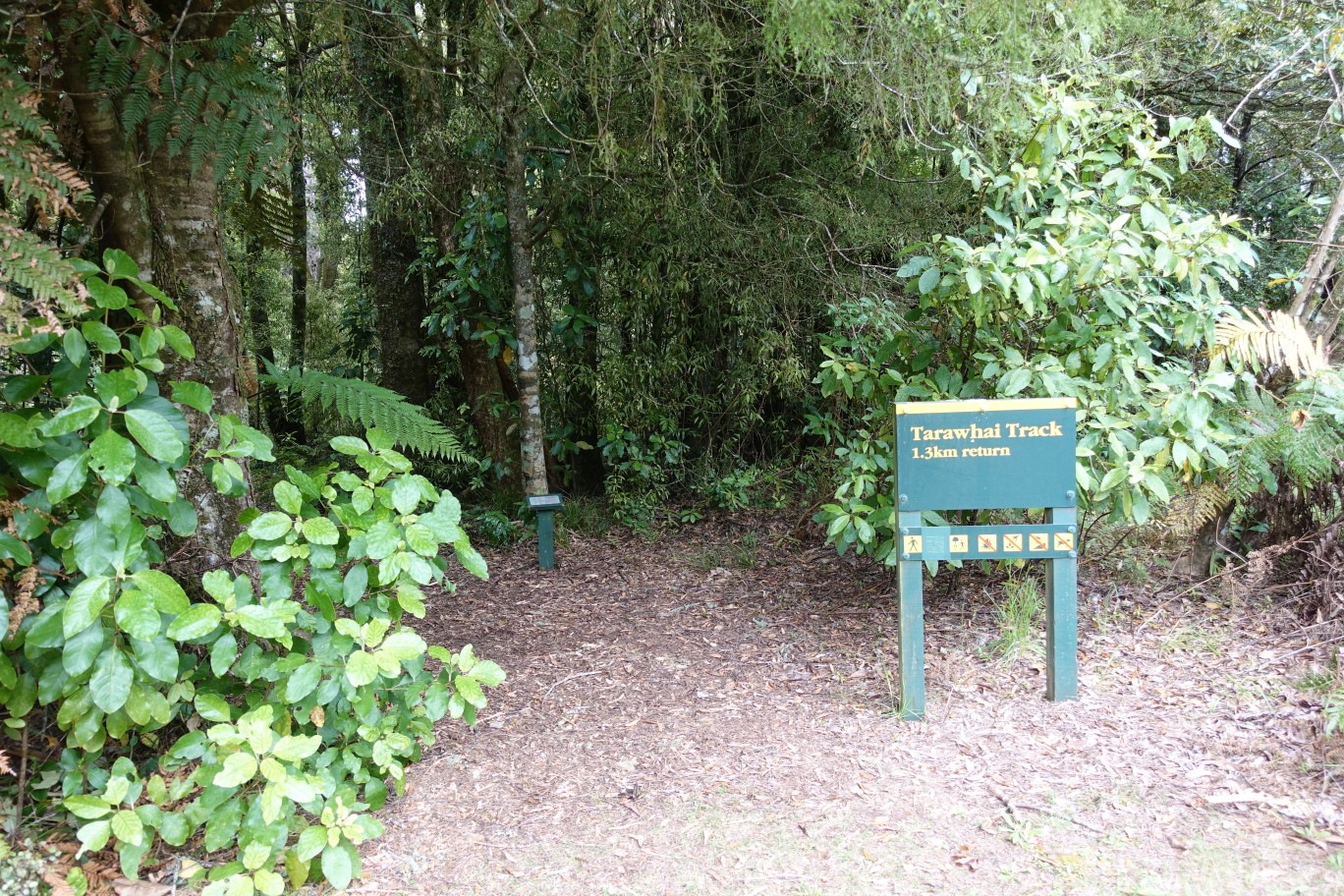
There are a few parking spots available by the track entry point. The road to the right is towards the education centre.
The GPS tracklog shows the route taken, starting and ending at the education centre access road. The following are the times and distances for each part of the walk.
Along Lake Okataina Rd from the education centre access road to Patotara/Rongomai Carpark: 1.3 km, 15 minutes.
Rongomai Track from the carpark to the education centre fields: 2.3 km, 40 minutes.
Te Auheke (Cascades) Track, clockwise: 1.4 km, 25 minutes.
Tarawhai Track, including the Western Okataina Walkway section: 1.7 km, 30 minutes.
The total walked distance of 7.1 km and time of 2 hours includes the shorter connecting sections, with time for photos.

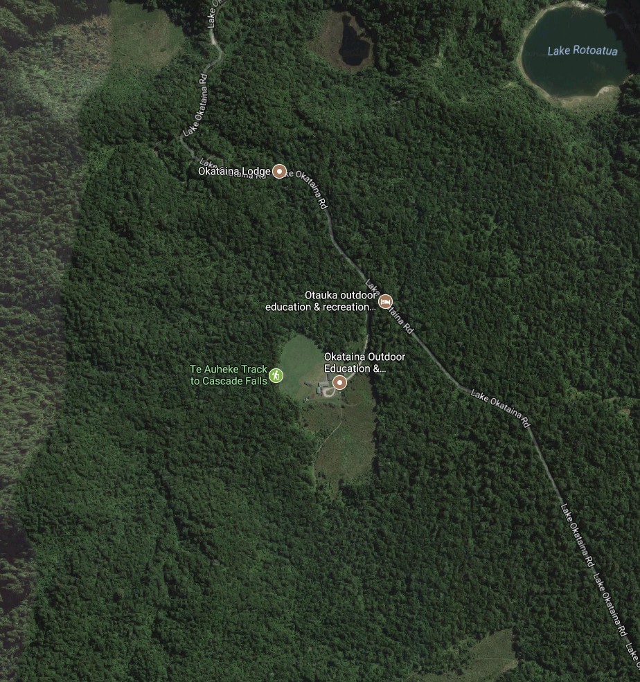
The aerial photo, from Google Maps, shows the same area. The markers for Okataina Lodge and Otauka Outdoor Education are incorrectly located. The lodge is at the edge of Lake Okataina, somewhat further south, and Otauka is presumably a misspelling of Okataina, as Google seems to have no other information about that particular name.
The topographic map excerpt shows the same area, as well as the track names.

The tracks were walked on November 27, 2017.
