The Rotorua Walkway is a 26 km long walkway in Rotorua, broken up into 8 shorter sections. In addition there are two shorter walkways branching off from the long walkway, following two tributaries to Utuhina Stream. The Mangakakahi walkway connects Sunset Road near Old Taupo Road and Pukehangi Road near Blomfield Street, and Otamatea walkway connects Pegasus Drive off Pukehangi Road and the Otuhina section of the Rotorua Walkway. The walkways are described in the brochure Rotorua Walkways available on the Rotorua Lakes Council web site, under the Brochures heading.
This walk through the Mangakakahi and Otamatea walkways was done as an anti-clockwise loop, starting and ending at the parking area on Mataatua Street, off Pukuatua St/SH30A. The start of Mangakakahi walkway is on Sunset Rd, about 1 km from the parking area. It is a combined walkway and cycleway. The middle part of the loop was a 1.4 km walk along Pukehangi Road from the end of Mangakakahi walkway, to Pegasus Drive where Otamatea walkway starts or ends. Total distance was 9.1 km, with a time of just over 2 hours.
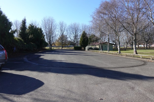
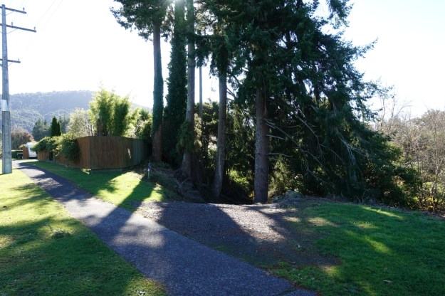
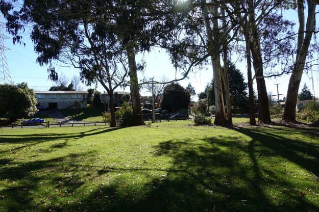
Parking is available on Mataatua Street, but there are no public toilets on or by the route, with the nearest one shown on the brochure map being near the junction of Pukuatua Street and Ranolf Street. The parking area on Mataatua St, with parking also available along the street behind the building to the right of centre.
From Mataatua St you can cross over the Medical Officers reserve to reach Old Taupo Road by the Utuhina Stream.
Approaching Old Taupo Rd from the reserve. Cross the bridge to get over the stream and from there use the walkway under the bridge to cross over Old Taupo Road.

The pedestrian underpass on the right, with Utuhina Stream on the left.

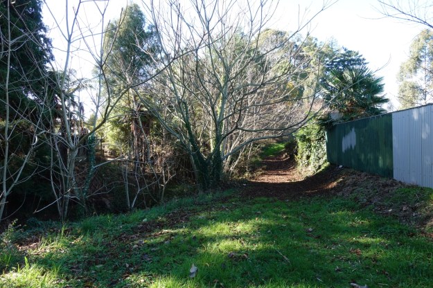
To reach the start of Mangakakahi walkway follow Old Taupo Road to Sunset Road, and then go down Sunset Rd to the walkway entrance. There is no obvious marker at the start of the track, which follows the Mangakakahi tributary of Utuhina Stream, between the vegetation on the right. The track follows the wooden fence at photo centre.

The track is mostly wide and well formed, and suitable for walking and cycling.

There are various side tracks from the main track, giving access to various locations along the route. These are not marked, and at times it may not be obvious which track is the main one. Here the actual track crosses Mangakakahi Stream and continues on the other side.

The walkway crosses over Edmund Road. From here the walkway/cycleway is mostly tarsealed, and sealing was in progress on this walk.

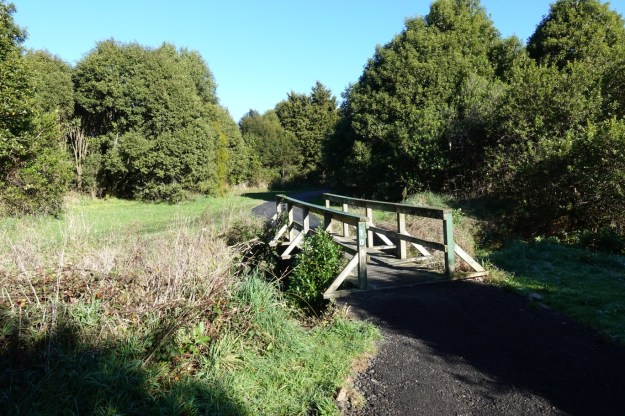
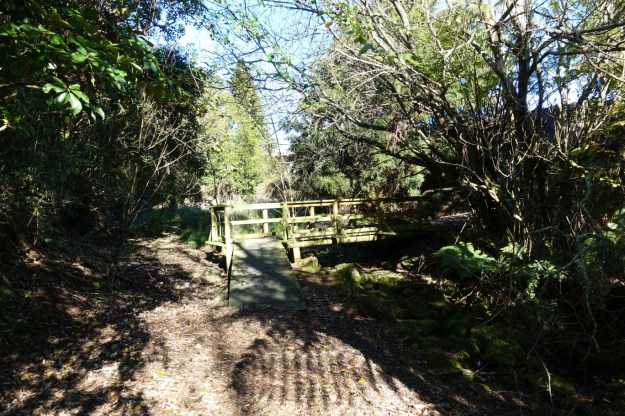
There are numerous bridges along the walkway, with some of them on side tracks, and with some, like this one, on the main walkway.
The track also crosses over Goldie Street. Here approaching the street, with a small shopping centre on the left.
Although not shown in the council brochure the track does cross over Goldie St, to the right of centre through the reserve, running from here parallel to Blomfield Street and ending on Pukehangi Road.
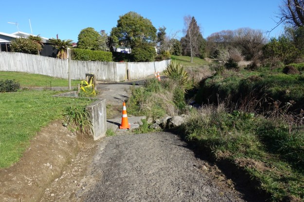
A drain has washed out some of the track, but it is still safe and easy to cross on the broken concrete base.
A new bridge across Mangakakahi Stream just before the track exits onto Pukehangi Road.
The track exit onto Pukehangi Road. Or the entrance when walking in the other direction.
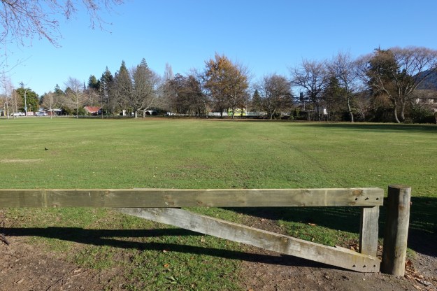
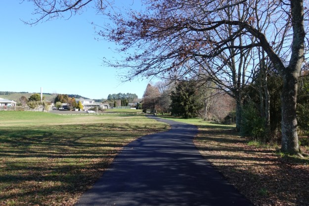
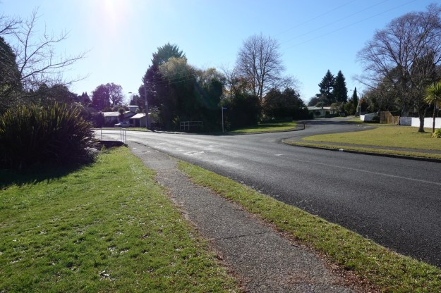
Pukehangi Road has farmland on one side, and residential housing on the other side. There is no shade along this part of the walk.

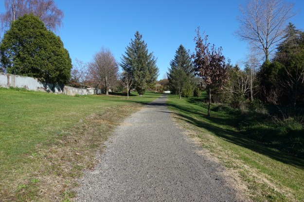
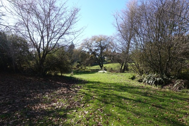
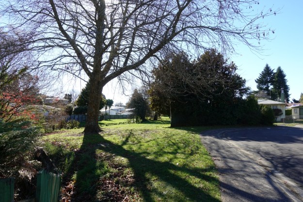
Otamatea walkway starts on Pegasus Drive, off Pukehangi Road. Most of it has no formed walkway, but passes through grassed areas. The walk starts at picture centre, passing a playground and to the right of the tall, slender trees behind the playground.
A small bridge crosses over a swampy part of Otamatea Stream.
Large parts of the walkway follow alongside boundary fences from neighbouring residential areas, and bounded by the stream.

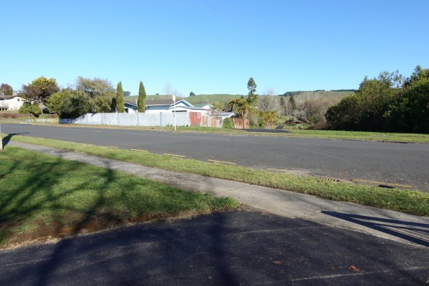
The walkway crosses over Pandora Road, and continues from the far end of Diana Place, see on the right.
The continuation of the walkway across the grass area, from the end of Diana Place.
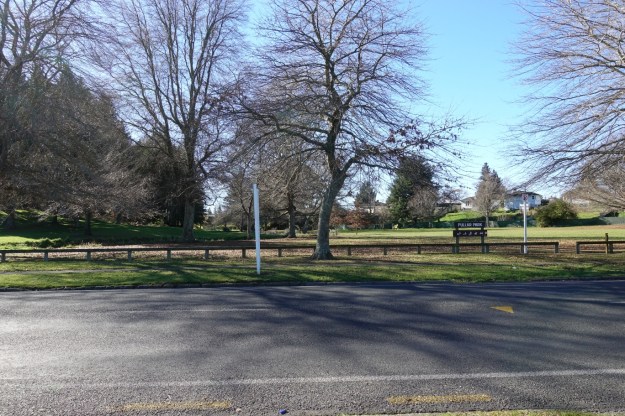
The walkway continues across Ford Road, and enters Pullar Park.
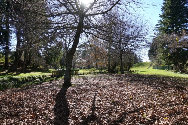
Near the midpoint of Pullar Park the walkway either crosses over Otamatea Stream, heading to Sunset Road, or straight ahead with the option of the stairs on the right leading up the grassy slope.
The walkway exits onto Sunset Road, continuing along the road to the intersection with Wrigley Road.
A few metres down Wrigley Road and the walkway continues through the grass area alongside the trees on the left.

The track again has boundary fences on one side, and a stream on the other.
The Otamatea walkway connects to the Utuhina walkway, part of the main Rotorua Walkway. It now continues on the left as Utuhina walkway to Old Taupo Road, and on the far right towards the southern end of Rotorua Walkway.

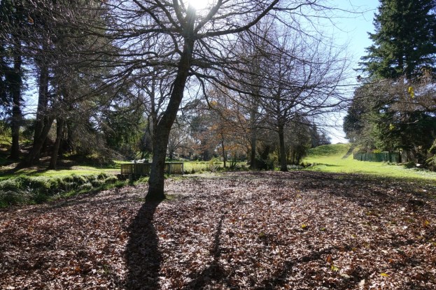
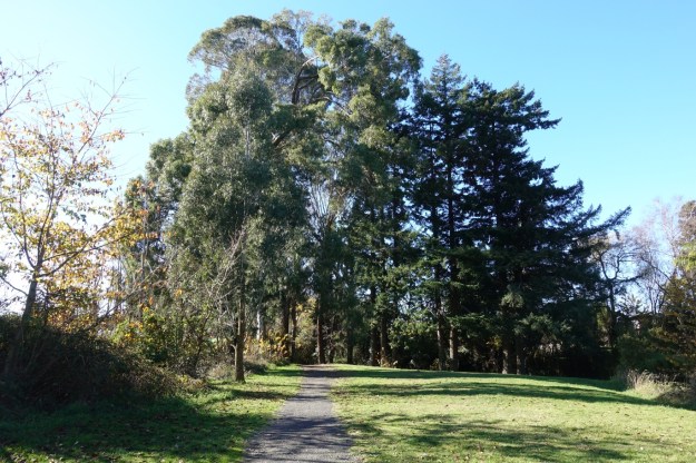
Utuhina walkway passes through some old stands of trees on the way towards Old Taupo Road.
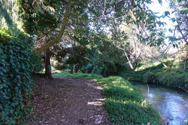
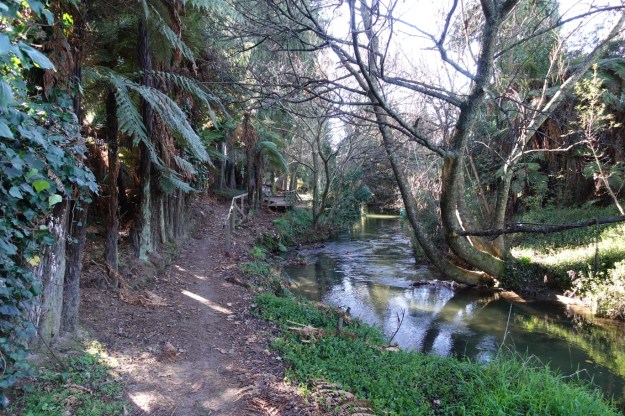
The walkway follows quite close to the Utuhina Stream.
In one place the stream is so close it has washed out part of an older boardwalk.
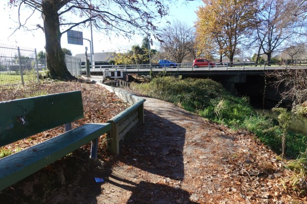
Back at Old Taupo Road, with the bridge underpass, and the Medical Officers reserve and Mataatua St on the far side.
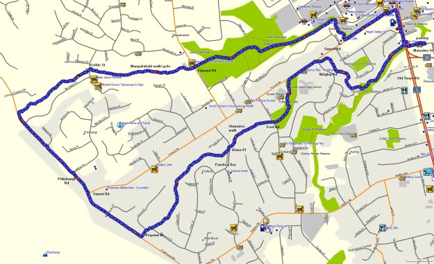
The GPS tracklog shows the route followed, with the route traversed in an anti-clockwise direction, starting and ending at Mataatua St on the far right. The distances and times were as follows:
Mataatua St to Pukehangi Rd via Mangakakahi walkway: 4.1 km, 55 minutes.
(of these 1 km/10 minutes was from Mataatua St to walkway start.)
Pukehangi Rd: 1. 4 km, 15 minutes.
Pegasus Dr to Mataatua St via Otamatea walkway: 3.6 km, 55 minutes.
Total 9.1 km, 2 hours 5 minutes.
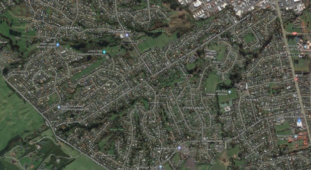
The aerial image, from Google Maps, shows about the same area as the GPS tracklog map. Some of the points of interest have been marked.
The tracks were walked on June 19, 2019. A cool but fine winter’s day.
