For an addition and an update to this post, see the later post Karaponga Reserve, Waterfall and Dam.
Karaponga Reserve is located at the end of Symond Rd, off Braemar Rd, between Matata and Kawerau. The reserve has one of the earliest hydro-electric power stations in New Zealand, with a dam on the Karaponga Stream supplying water to the power station.
The power station was first constructed in 1922 to supply power to Whakatane. It was expanded with a second generator in 1928, but closed down in 1939. Reconstruction and recommissioning started in 1996, and the power station is now operational. The light pumice soils in the area quickly filled up the dam, so it contains almost no water reserve, with the power station relying on the flow of the Karaponga Stream alone for its supply. About 800m of pipeline transports the water from the dam to the power station, with a fall from about 120m above sea level at the dam to about 40m at the power station.
There is a parking area at the end of Symond Rd for visitors to the reserve. Unfortunately the gates in to the reserve remain locked due to the antics of some vandals. It is necessary to climb over the gates or climb through an electric fence to access the reserve.
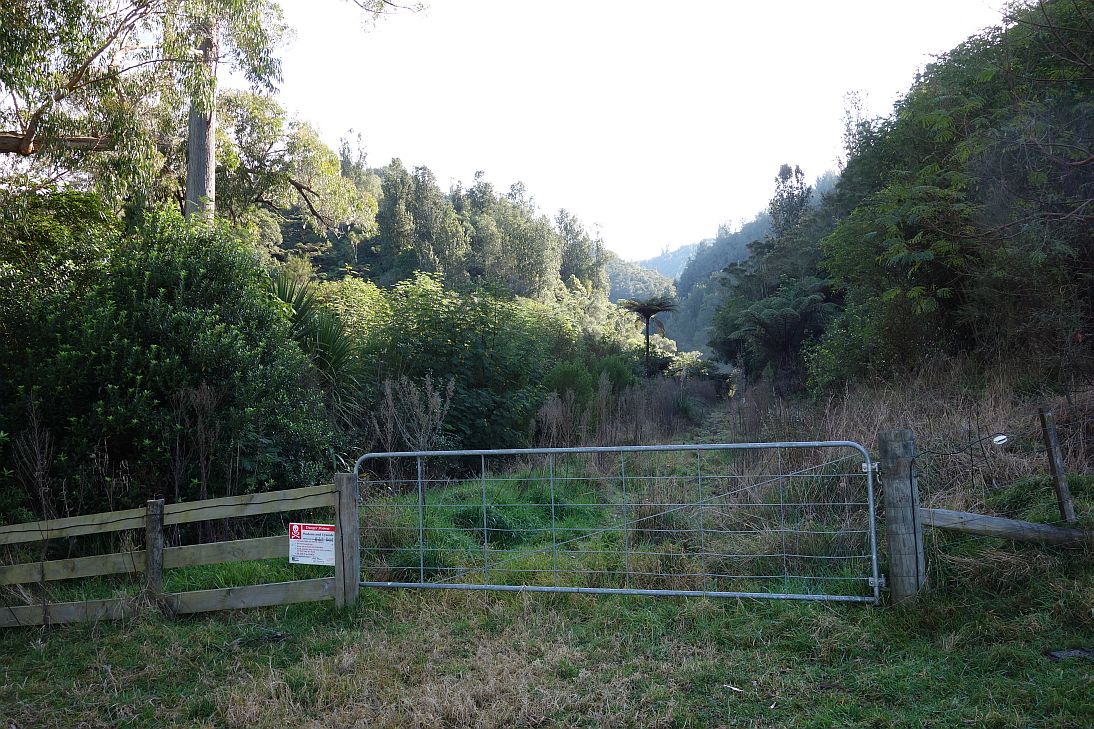
The reserve seen from the parking area. The power station is behind the sign, and the dam in the tree-clad valley to the far right.

The parking area at the end of Symond Rd.

The locked gates leading into the reserve. It’s best to climb over at the ends close to the hinges.
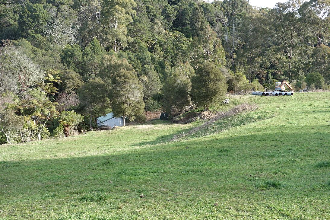
The power station is to the left of centre, among the trees.
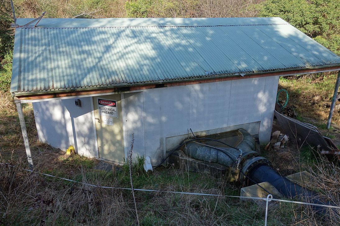
The power station with the water inlets supplying the pelton wheels and generators.
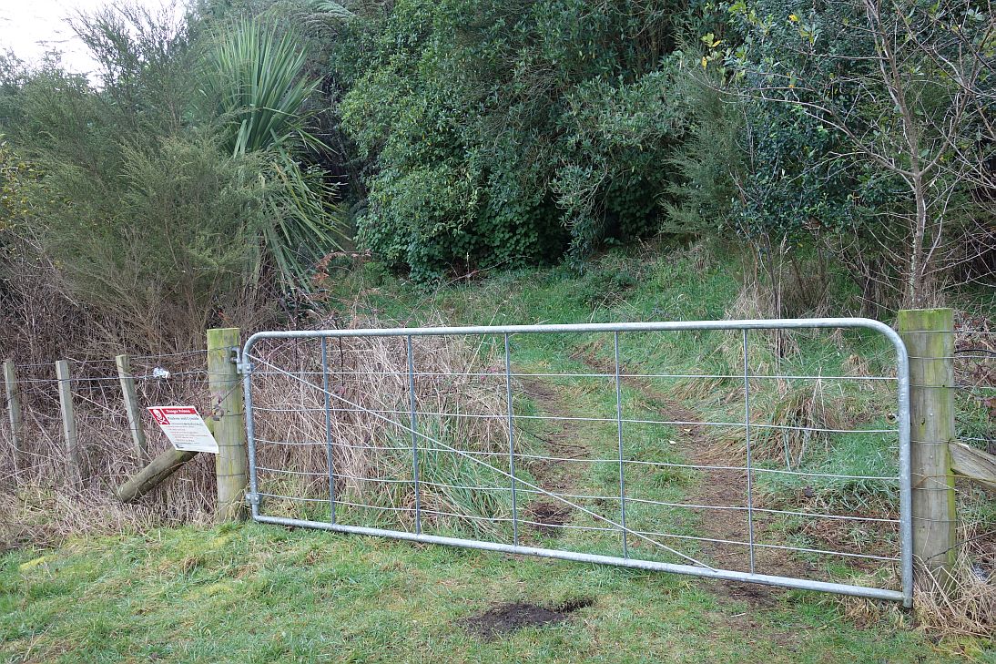
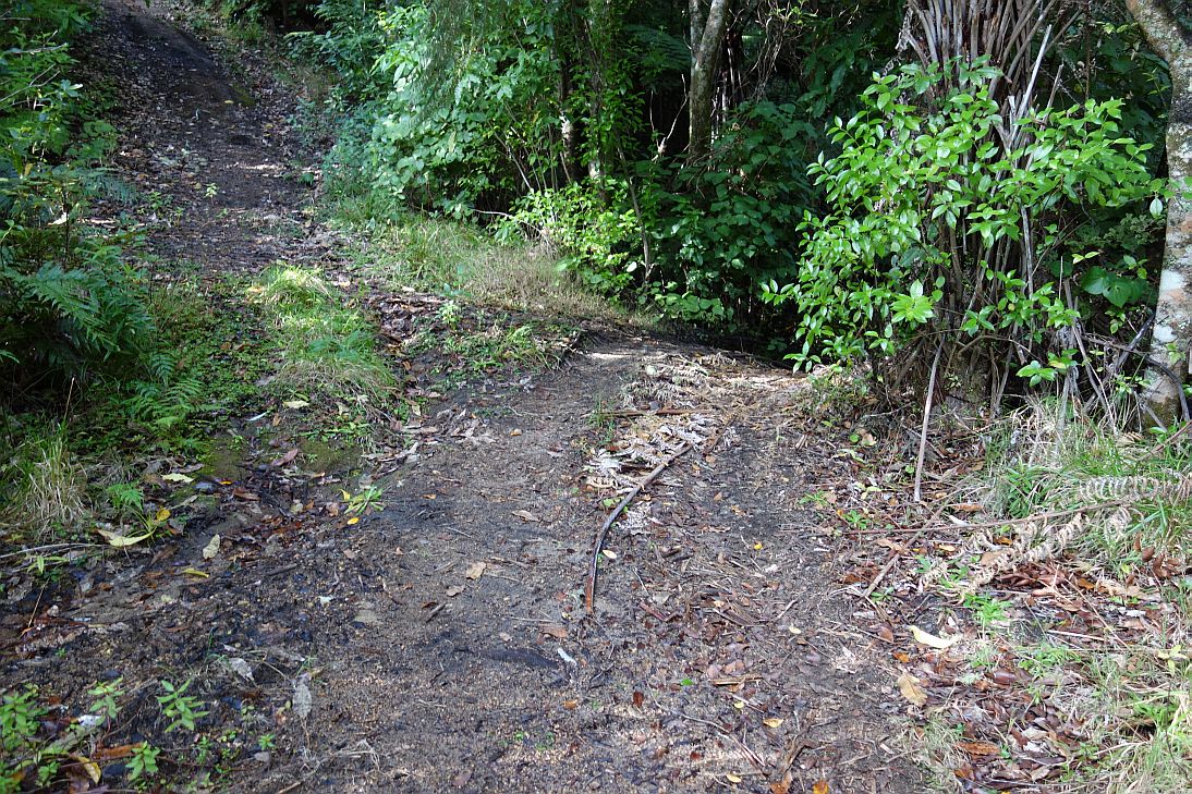
The entry to the track following the pipeline to the dam. It’s not possible (or at least not permissible) to follow the pipeline all the way to the dam. This gate was not locked.
Along the pipeline track there is a sign reading “Falls”, but no apparent track leading to the falls, or any obvious signs of any waterfalls nearby. The Karaponga Stream runs only a few metres away from the sign.

The end of the accessible part of the pipeline track.

Another track, usable and recently used by quad bikes, starts at the grassed area of the reserve. It leads to the top of the dam. This is the entry to the quad bike track. The gate was not locked.
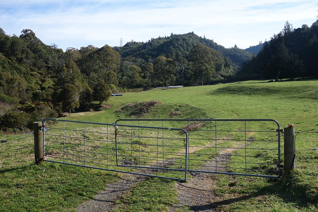
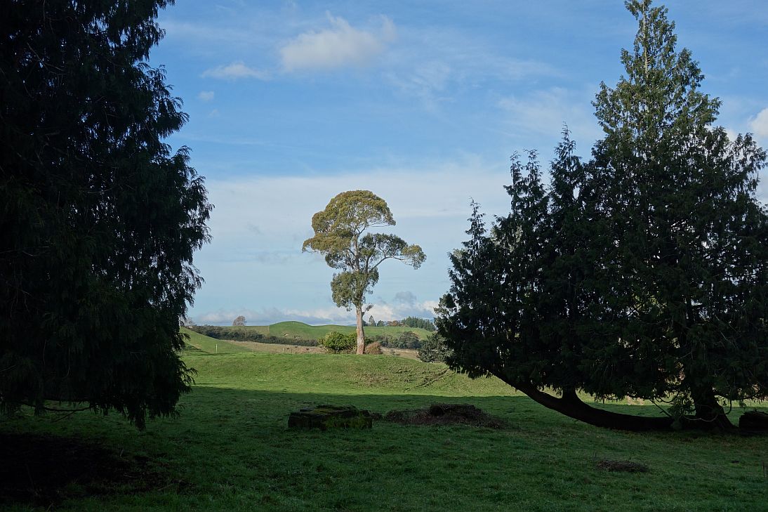
View from the quad bike track across farmland to the Rangitaiki Plains and the hills by Awakeri and Whakatane.

A short, unused branch off this track to the left leads to a lookout from where the dam is visible.

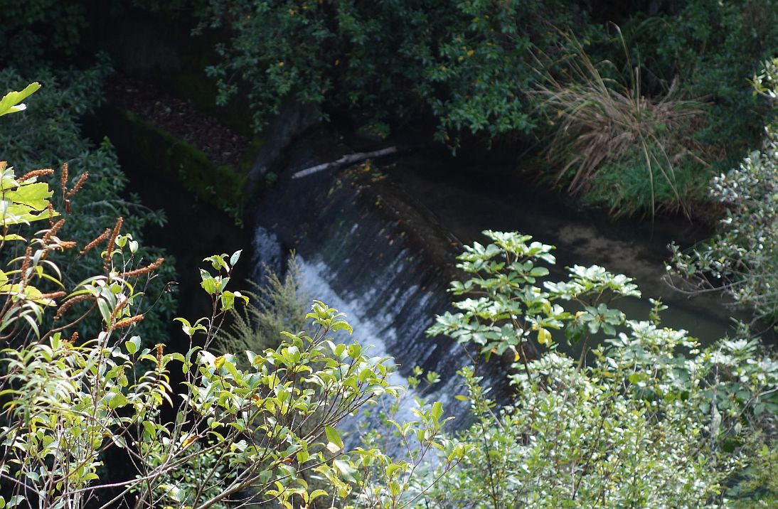
Looking down on the Karaponga Dam. The water not used for power generation spills over the top edge of the dam.
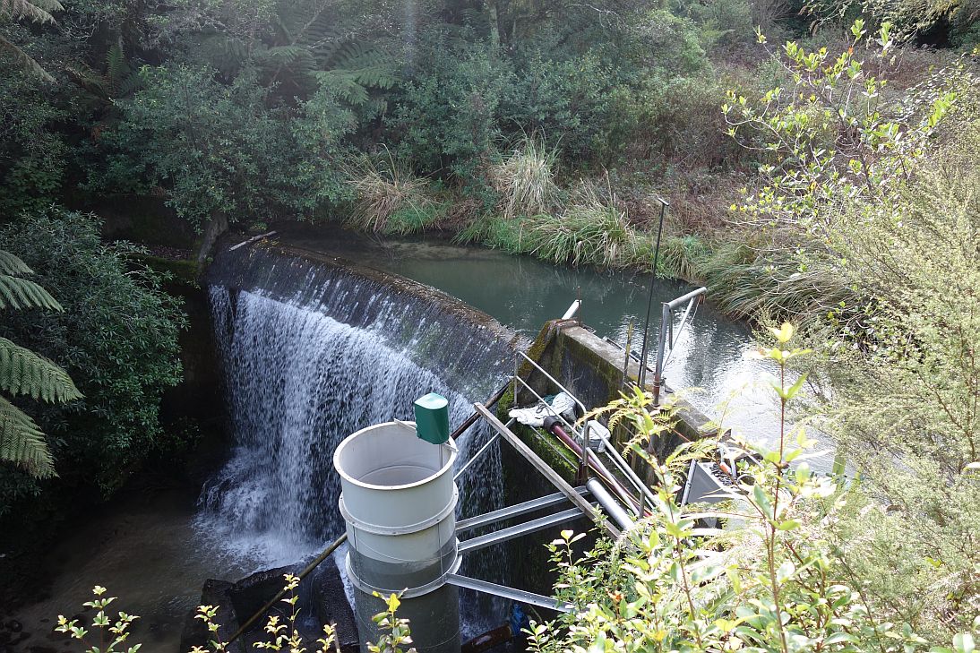
A closer view of the dam from the quad bike track. The original lake is completely filled with soil except for the small area by the outlet and overflow, and is now overgrown.
The dam seen from the top of the pipeline, accessible from the end of the quad bike track.

A branch leading to the left of the quad bike track when walking from the dam was not checked out on this walk, but presumably the track is used for access to the power pylons, and so would lead to the next pylon in the chain. That’s a walk for another day.
A couple of large macrocarpa trees in the grassed area of the reserve indicate the location of a house site. A couple of concrete pads are all that remain of the house.
The walk took about 1 hour 20 minutes, including some time looking for side tracks and waterfalls, and covered about 4 kilometres. The GPS track log shows the tracks walked and the site of the dam and the power station.

The tracks were walked on August 2, 2015.

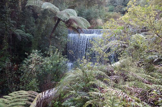
A community group is currently constructing a new track to the lower falls (about 20m still to build as of February 2015). Consent has been granted for a bridge but there’s no timetable for its installation (depends on fundraising), so wet feet will still be part of the deal for getting to the falls for some time yet.
LikeLike
Thanks, Steve. I’ll try to get back to check it out one day and get some photos of the waterfall.
LikeLike
Had a great walk up to the falls. 20 mins or so. Some old pumps along the way. The falls had plenty of water flowing so was quite spectacular. Great job on the track.
LikeLike
Thanks, Andy. I’ll have to make an effort to go and get some photos and a track log to the falls.
LikeLike