
Rotorua Walkway is a 26 km long walkway divided into 8 sections forming a loop, with a further two walkways branching off from the main loop. The walkways are described in the brochure Rotorua Walkways available on the Rotorua Lakes Council web site, under the Brochures heading. The two walkways branching off, Mangakakahi and Otamatea, have been covered in a previous post: Mangakakahi and Otamatea walkways, Rotorua and the Utuhina section (number 7 in the brochure) has been covered in the post: Utuhina Walkway, Rotorua
This post describes the sections numbered 1 to 5 in the brochure, as well as part of number 6. These are Pukeroa, Rotorua Lakefront, Motutara, Te Arikiroa and Puarenga, with part of the Rotorua Tree Trust walkway. The walk starts near the intersection of Lake Road and Ranolf Street, across from Kuirau Park. There is no parking area nearby, although parking is available on and near Rangiuru Street, with about a 500 metre walk to the starting point. The Puarenga section walk ends at the entrance to Whakarewarewa Village on Tryon Street. Total distance is about 8.5 km with a walking time of about 2 hours 10 minutes.
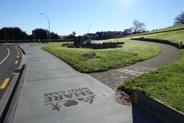
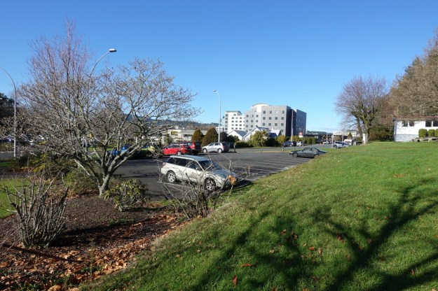
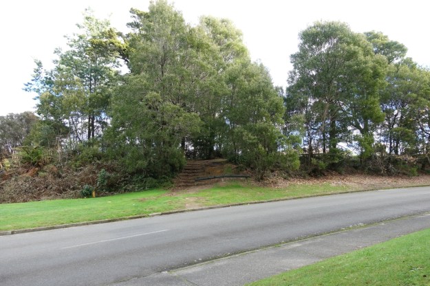
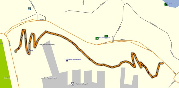
The parking area at the northern end of Rangiuru Street near Lake Road was used, with a short walk to the starting point by the Lake Road/Ranolf Street intersection. The first section, Pukeroa, zig-zags its way up the western side of Pukeroa Hill, crosses over Pukeroa Street, and then zig-zags down to Lake Road at the intersection with Rangiuru Street.
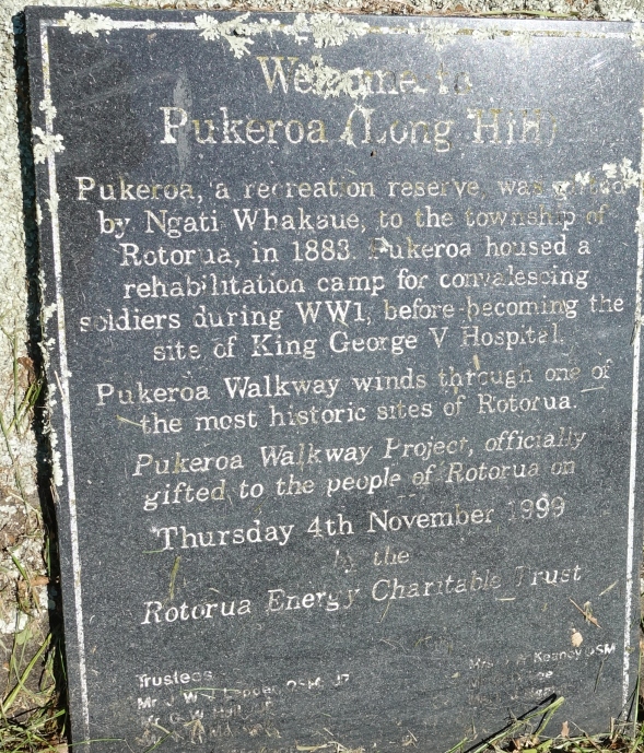
An inscription by the walkway reads: “Welcome to Pukeroa Long Hill. Pukeroa, a recreation reserve, was gifted by Ngati Whakaue, to the township of Rotorua, in 1883. Pukeroa housed a rehabilitation camp for convalescing soldiers during WWI, before becoming the site of King George V Hospital. Pukeroa Walkway winds through one of the most historic sites of Rotorua. Pukeroa Walkway Project officially gifted to the people of Rotorua on Thursday 4th November 1999 by the Rotorua Energy Charitable Trust.”
The start of Pukeroa Walkway, across Ranolf Street from Kuirau Park, near the intersection with Lake Road. Steam is coming from a vent in the pile of stones next to the walkway and the footpath.
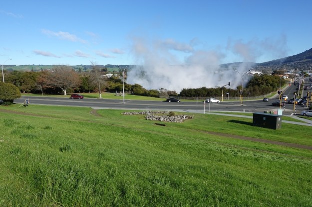
Looking back down the walkway to Kuirau Park with geothermal steam from vents near Ranolf Street and Lake Road.
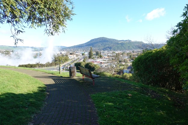
Mount Ngongotaha is clearly visible from the walkway, to the right of the steam from Kuirau Park seen on the left.
Steam is also rising in the suburb of Ohinemutu. The iconic St Faiths Church can be seen with Lake Rotorua as the backdrop.

The Malfroy Oak, mentioned in the Rotorua Walkway brochure, is seen at picture centre, with an iron fence and seats around it. It was planted in August 1893.

The plaque near the intersection of Lake Road and Rangiuru Street with some of the history of Pukeroa Hill and walkway.
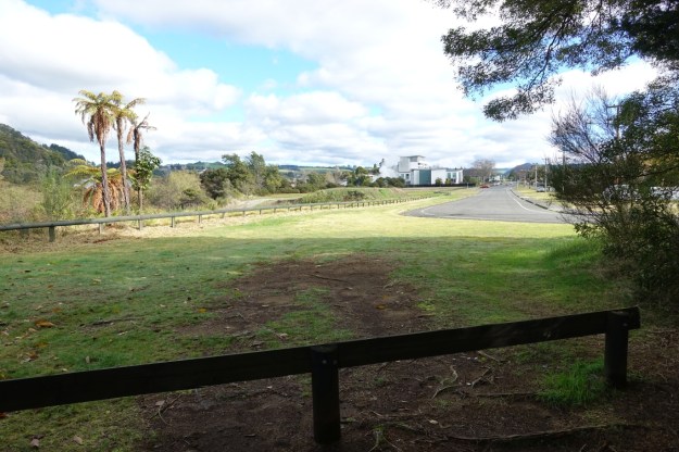
The parking area at the northern end of Rangiuru Street. Parking is also available all the way along Rangiuru St.
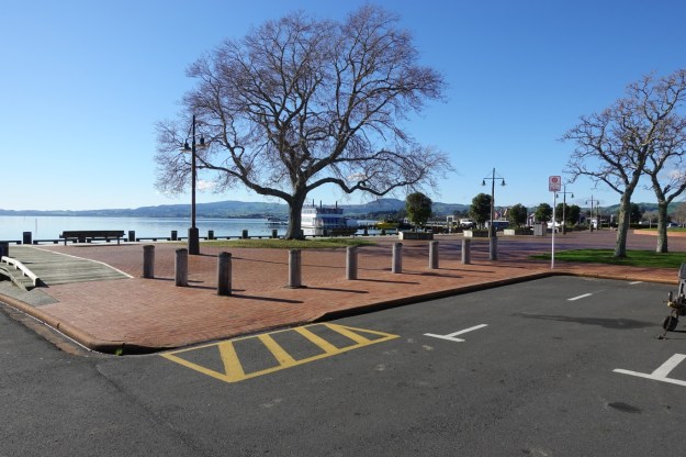
The walkway continues across Lake Road, to the Rotorua Lakefront section of the Rotorua Walkway. This section follows the edge of the lake quite closely, ending at Motutara Peninsula.
The lakefront is a popular spot on a sunny Sunday morning, despite the chilly temperature.
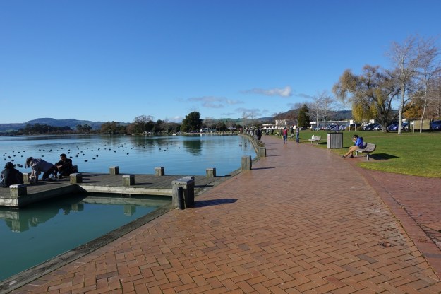
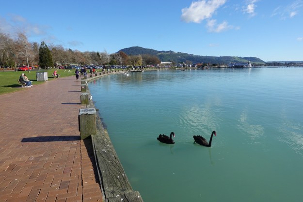
Looking back along the Lakefront Walkway, with Mt Ngongotaha visible in the distance. There is an abundance of aquatic birdlife on the lake. Information panels along the walkway describe some of the birds that can be seen, as well as other flora and fauna, and some local history.
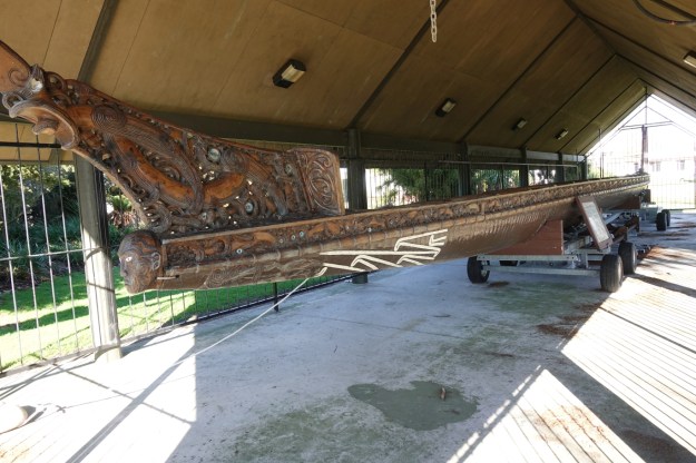
The canoe, Te Arawa Waka Taua, is housed in a specially constructed building, a whare waka, adjacent to the walkway.
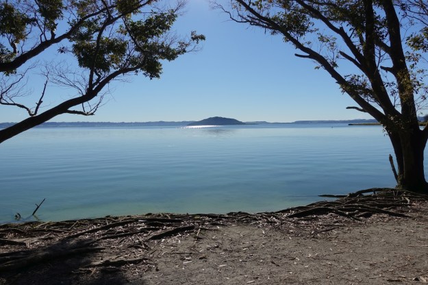
Mokoia Island is clearly visible on a fine day from the Lakefront Walkway.
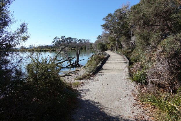
A large part of the walkway is bare soil, with some boardwalks across wet or swampy areas. Motutara Peninsula is on the left.
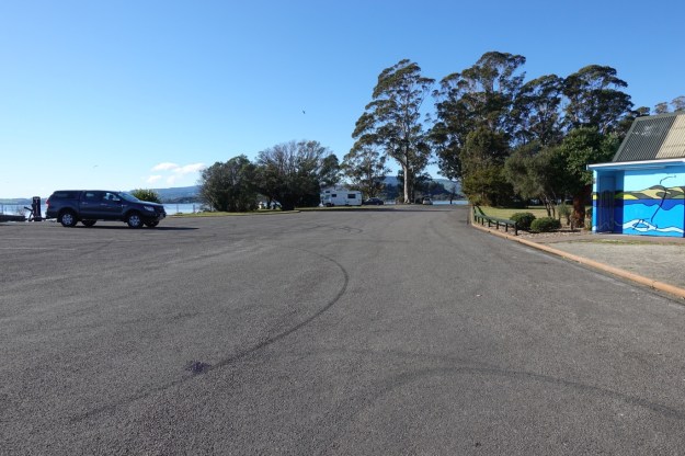
There is a parking area with boat ramps as well as toilets (seen on the right) at the northern end of Motutara Peninsula. The Motutara Walkway starts here and continues beside or close to Hatupatu Drive for the whole 1.9 km length of the walkway.
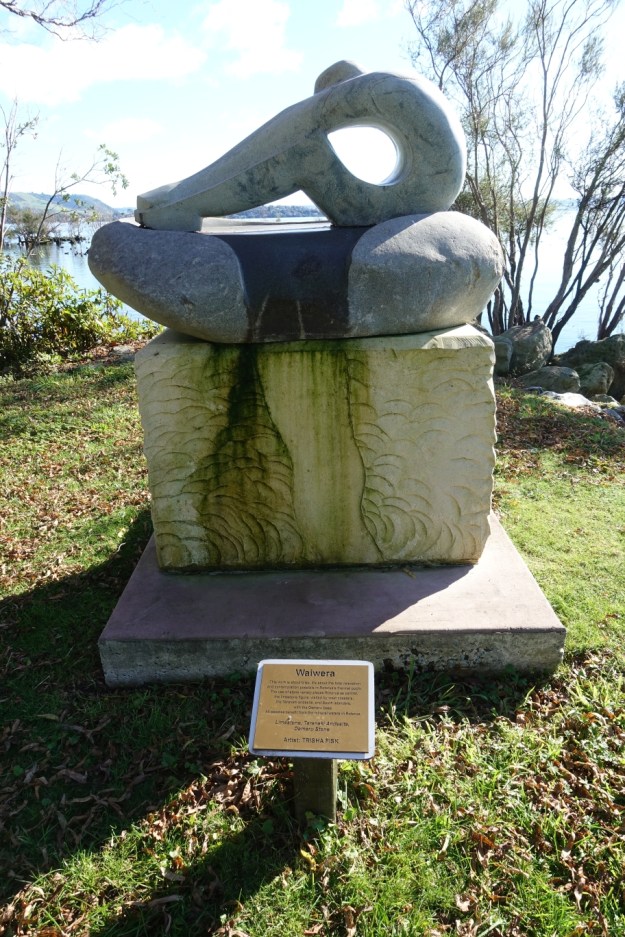
There are sculptures placed on the Motutara Peninsula, by the walkway. Here Waiwera, a sculpture about bliss, by the artist Trisha Fisk.
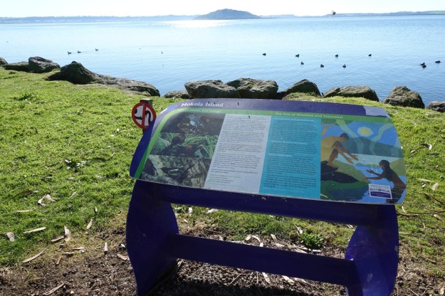
An information panel about the bird refuge Mokoia Island, seen in the distance above the panel, and the tale of Hinemoa and Tutanekai.
Another carving marks the location where the track turns off from Hatupatu Drive to follow the foreshore more closely.
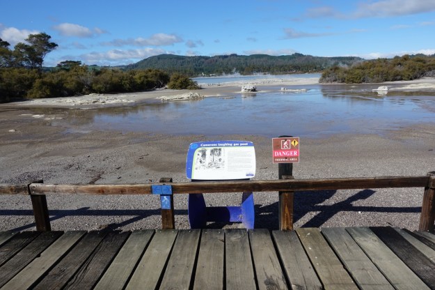
Camerons Laughing Gas Pool, a hot pool emitting gases which caused visitors to laugh uncontrollably. It could also cause fainting, making it rather dangerous to use.for bathing. Also known as the White Sulphur Pool.
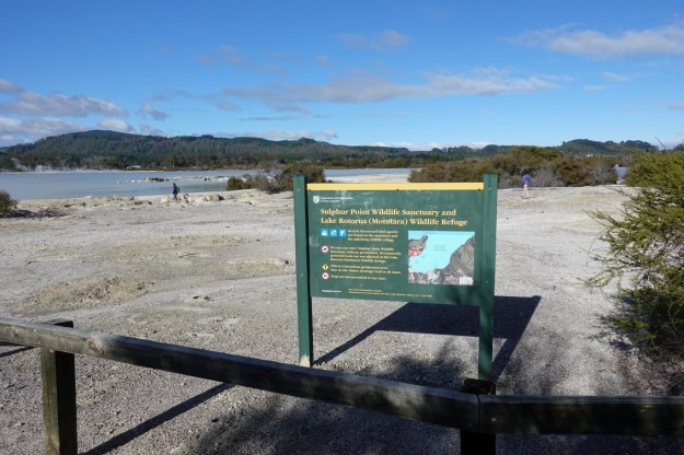
Not all visitors respect the signs forbidding access to the Sulphur Point Wildlife Sanctuary and Motutara Wildlife Refuge. One on each side of the sign. The geothermal area is not without other dangers as well.
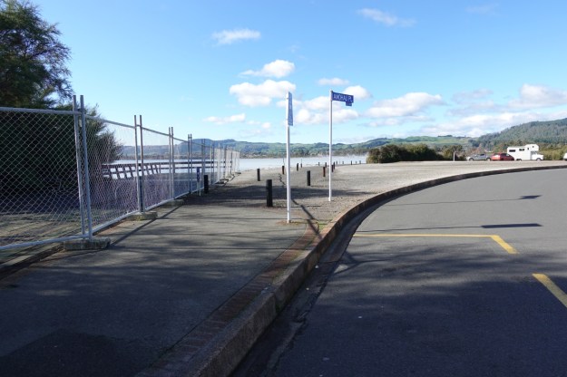
There is a parking area at Amohau Place, where Motutara Walkway ends and Te Arikiroa Walkway starts.
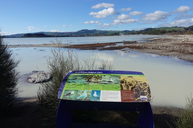
Sulphur Flat, with information about the birdlife, and about the battle of Waiwhitiinanga. Geothermal activity can be seen on the far side of the bay.
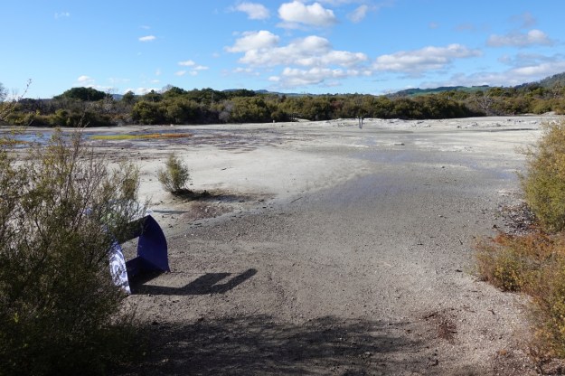
The walkway also crosses over a few unmarked areas, continuing through the vegetation on the far side of the open area.
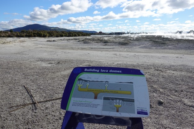
Looking back to central Rotorua, with Mt Ngongotaha on the left, with information panels about birds and the formation of lava domes.
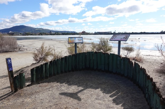
Another panel about lava domes, with geothermal activity behind it to the right. Mt Ngongotaha again on the left.
The walkway again comes close to an area with geothermal activity. There is no marker, but nearby Te Arikiroa Walkway continues on as Puarenga Walkway, following close to Puarenga Stream for about 3 km to Whakarewarewa.
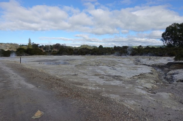
Bubbling sulphurous activity on the edge of the walkway.

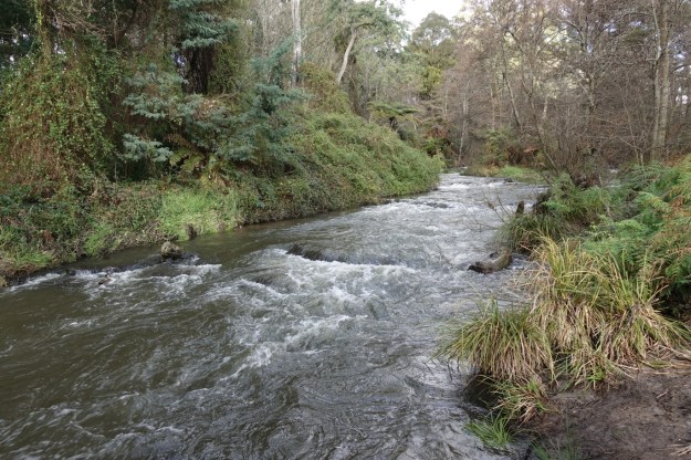
The activity can be seen on both sides of Puarenga Stream.

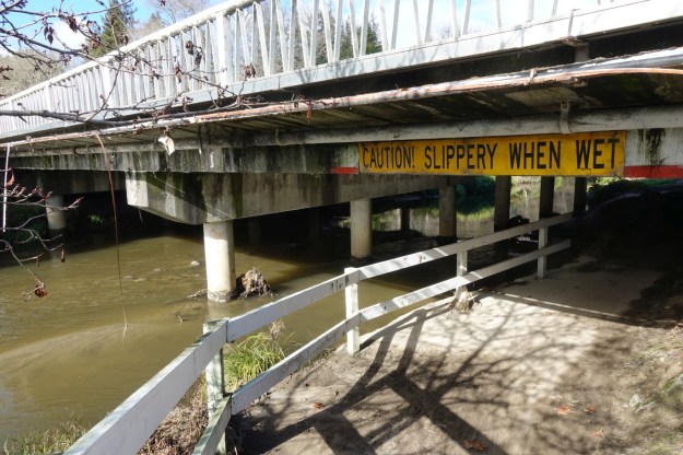
Puarenga Stream and Puarenga Walkway continue alongside sportsgrounds before passing under a bridge on Te Ngae Road.
The stream and walkway under the Te Ngae Road bridge.
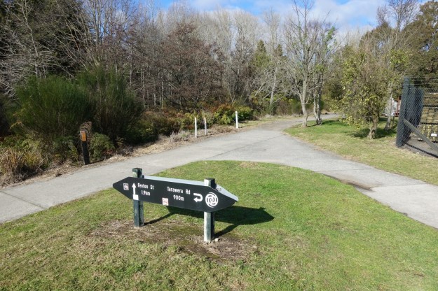
The walkway continues straight ahead towards Whakarewarewa and Fenton Street on the far side of the bridge, and up to Te Ngae Road and Tarawera Road back to the right.
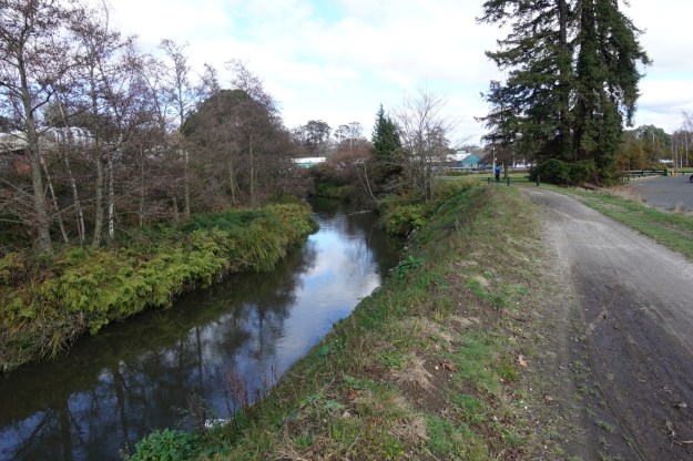
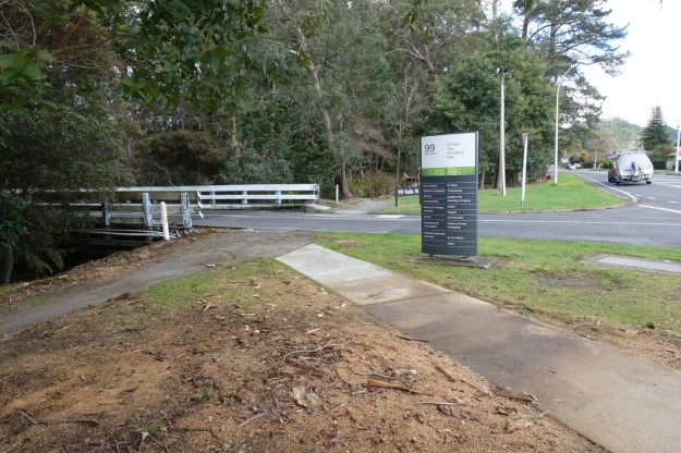
The walkway and stream run alongside Sala Street for some distance.
Several roads or driveways off Sala Street cross over Puarenga Stream. Here the one leading to Te Papa Tipu Innovation Park. Another is the access road to Whakarewarewa School.
The walkway continues up a few steps, through the trees on the far side of this access road.
The walkway continues from here along Froude Street to the intersection with Tryon Street, where it turns left and down Tryon Street to the entrance to Whakarewarewa Village.
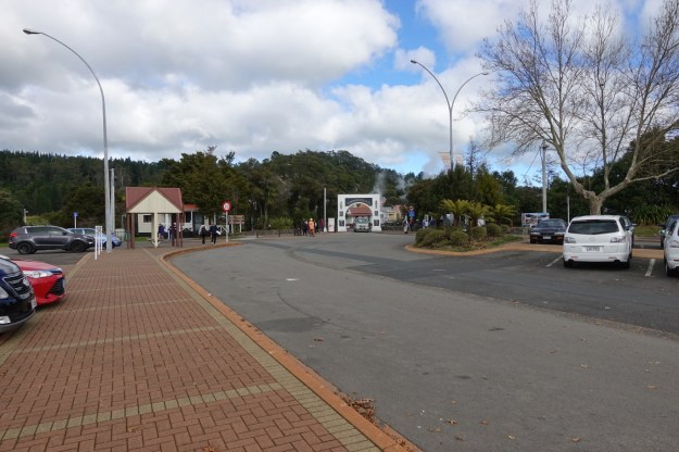
The entrance to Whakarewarewa Village, with a parking area and toilets, marks the end of the Puarenga Walkway, and the start of Rotorua Tree Trust Walkway.
The first part of Rotorua Tree Trust Walkway goes back along Tryon Street, turning left onto Froude Street, and left again onto Fenton Street which is also SH30. It then branches off to Mokoia Drive. This section of the walkway, due to bad planning and a bus ride back to the central part of town, is not shown. The entry to the actual Tree Trust gardens is on Mokoia Drive. There is a small parking area on Mokoia Drive, and a driveway entrance and walkway to the gardens on the far left. The driveway is closed at night, with different closing times in summer months and winter months.
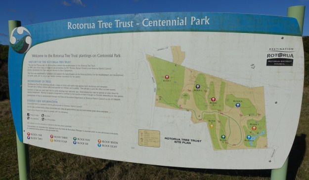
An information panel showing the layout of the park.
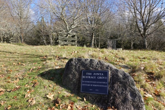
The Zonta Suffrage Grove, near the entrance, honours the centenary of women’s suffrage in 1993.
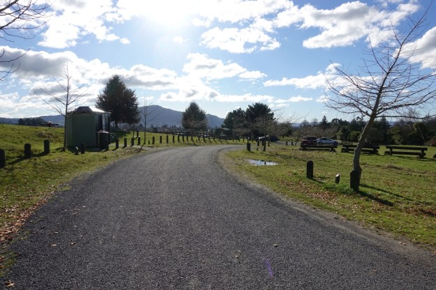
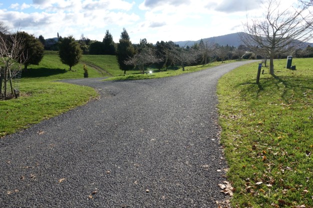
The walkway through Centennial Park is also a tarsealed vehicle road. It is not currently possible to drive right through the park. There are toilets, a small parking area, and a barbecue shelter where road access for the public ends.
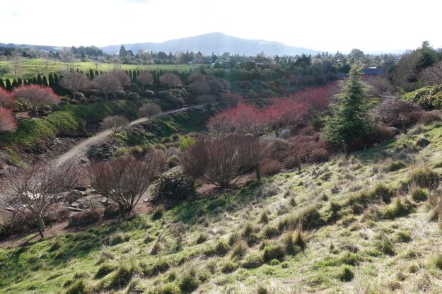
Looking down one of the valleys in the park.
The walkway continuing up to Kotuku and Kiwi Streets branches off to the left. For information about the parking area off Kotuku Street see a previous post about the Utuhina Walkway, which starts at that location.
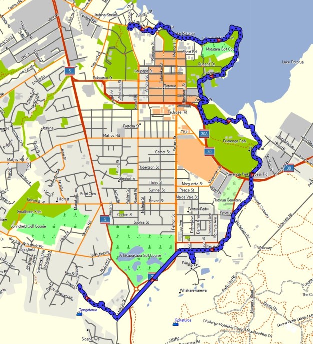
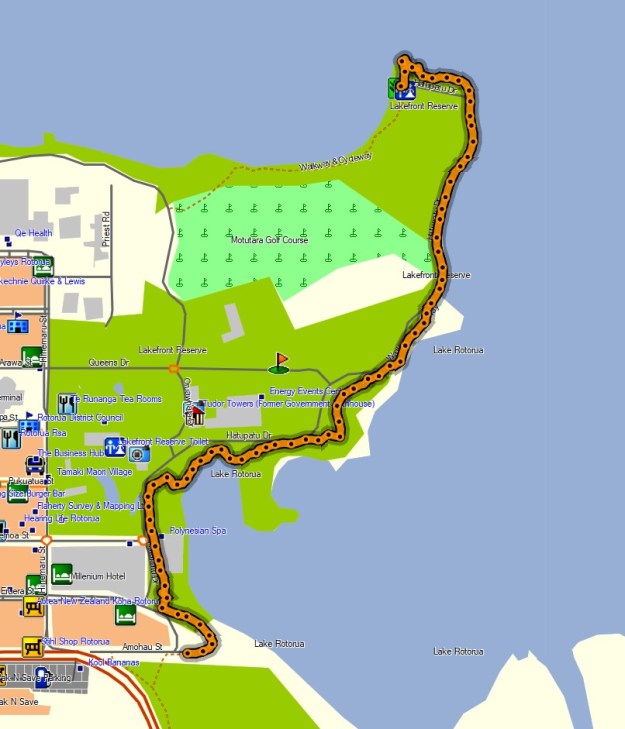
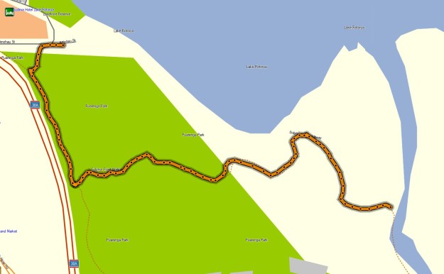
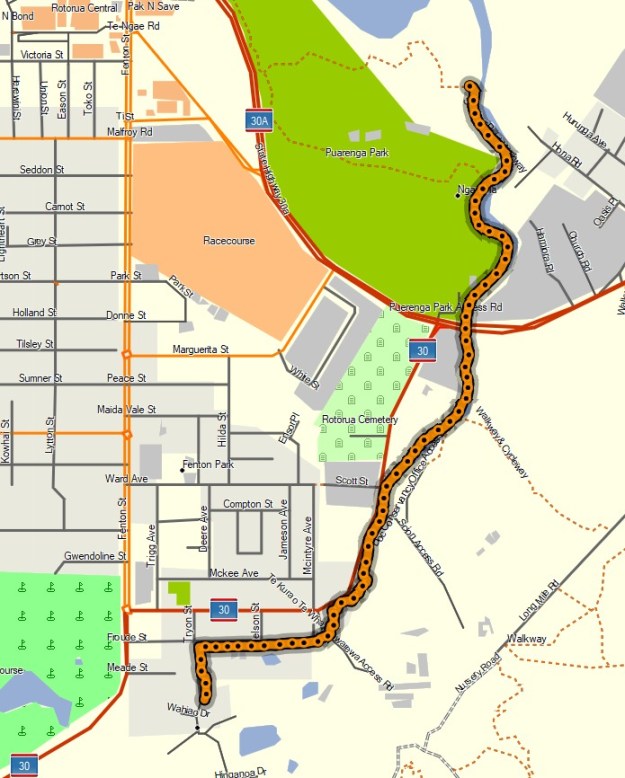
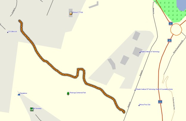
The combined GPS tracklog shows the total walk, except for the section of the Tree Trust Walkway between Froude Street and the park entrance on Mokoia Drive. The distances and times are shown below, together with individual GPS tracklogs for each walkway. Total distance for sections 1 to 5 is about 8.5 km, with a time of 2 hours 10 minutes. Urban buses to the town centre leave from Fenton Street, almost directly across from Froude Street.
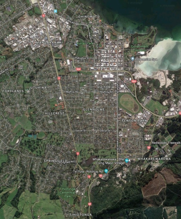
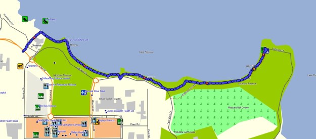
The aerial image, from Google Maps, shows a similar area to the combined tracklog. The area shown as Tihiotonga Centennial Park is now the Rotorua Tree Trust Centennial Park.
Pukeroa Walkway: 775 metres, 10 minutes.
Rotorua Lakefront Walkway: 1.5 km, 22 minutes.
Motutara Walkway: 1.9 km, 32 minutes.
Te Arikiroa Walkway: 1.4 km, 20 minutes.
Puarenga Walkway: 3.0 km, 45 minutes.
Rotorua Tree Trust Walkway (Centennial Park only): 950 metres, 12 minutes.
The tracks were walked on July 7, 2019.
