Tarawera River Walks, Kawerau

NOTE: Apparently the northern end of this walk can no longer be done as a loop, with access closed off from Tamarangi Drive/SH34 on the eastern side of the river. See comment at the end of the post.

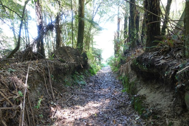
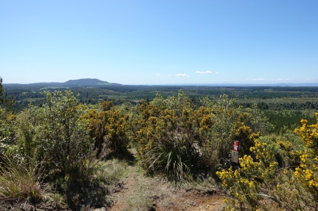
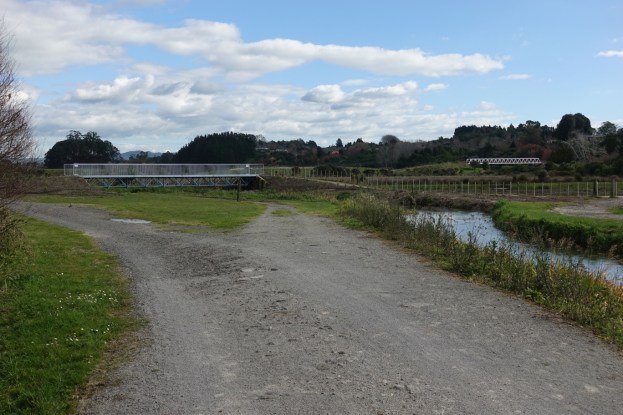
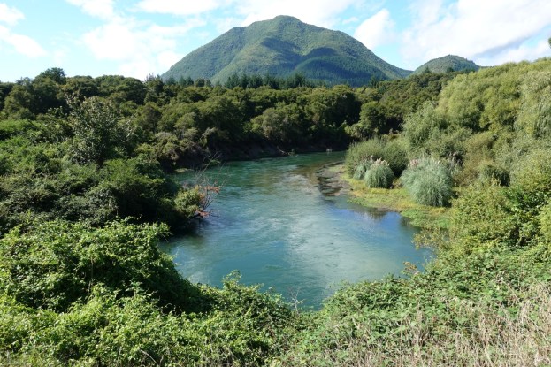
There are walking tracks, also used as cycle tracks, on both sides of the Tarawera River where it runs through Kawerau, with bridges over the river on SH34 at the northern end, by the golf course (pedestrian only) at the southern end, and on Waterhouse Street about halfway between the two ends. The tracks on the western (town) side of the river mainly pass through reserves and parks with no fixed marked tracks, with the ones on the eastern side rougher, also unmarked, and partly overgrown. Total track length is about 4.7km on the west side and 5.3km on the east.

There is parking available by Waterhouse Street and Firmin Field, on Porritt Drive, and in Tarawera Park. Toilets can be found at the entry off Waterhouse Street to Firmin Field. Continue reading

Tarawera Falls to Tarawera Outlet

Tarawera Falls is an impressive group of waterfalls in Lake Tarawera Scenic Reserve, with the river emerging from various locations on a sheer rock face. After heavy rain there may also be water cascading down from the top of the rock face. A walking track about 5 km long links the Tarawera Outlet where water from the eastern end of Lake Tarawera at Tapahoro Bay forms the beginnings of the Tarawera River, to the Tarawera Falls lookout, and further on to a carpark on Waterfall Road. The only road access to the outlet and to the falls is from Kawerau, along gravel forest roads which require a permit to enter.

There is a DoC campground by the outlet, at the end of Tarawera Road, with parking and toilet facilities. There is also a parking area at the end of Waterfall Road, near the base of the Tarawera Falls, with a basic DoC toilet. Information about the waterfall, campgrounds, and walking tracks can be found on the DoC web site. This also includes information about obtaining a permit to access the locations by road from Kawerau.

Continue reading

Te Ara Kahikatea Pathway, Te Puke

Note December 9, 2020: The track has reopened, probably some time ago, after a new rail bridge was constructed.

Te Ara Kahikatea Pathway is a 4 km long walkway and cycleway passing through wetlands and alongside Waiari Stream on the eastern outskirts of Te Puke. The pathway starts and ends at the Hera Memorial adjacent to a parking area off Commerce Lane. The pathway crosses over Jubilee Park and runs along Stock Rd and King St before forming a loop around a rural part of Te Puke.

The pathway was established by volunteers organised by Te Ara Kahikatea Pathway Incorporated Society starting in 2011, and was officially opened in April 2018 by the mayor of Western Bay of Plenty District Council. A mix of native plants, including kahikatea, have been planted alongside the pathway.

Continue reading

Taitua Arboretum and Till’s Lookout, Hamilton

Taitua Arboretum is a 20-hectare block of land mostly planted in a variety of trees and shrubs, both native and exotic. It was established, starting in 1973, by John and Bunny Mortimer who, in 1997, gifted the property to the people of Hamilton as an arboretum. About 3 km of walking tracks wind their way through the arboretum, with plenty of seats, shelter, lakes, poultry and ducks along the way. Bicycles are not permitted. Dogs are allowed but must be kept on a leash.

The arboretum is located in the Temple Heights area of Hamilton, at the end of Taitua Road, off Howden Road, and is signposted from SH23, the Hamilton to Raglan road. Taitua Road is shown on some maps as continuing on to Wallace Road, but this part is only open to walkers and cyclists. The arboretum is open daily from 8am until half an hour before sunset. More details are available on the Hamilton City Council web site. There is a parking area, with toilets and drinking water available by the entrance to the arboretum.

Continue reading

Lake Ngaroto, Te Awamutu

Lake Ngaroto is a 108-hectare peat lake with adjacent wetlands in the Waipa District, north-west of Te Awamutu and south-west of Ohaupo. The lake has a maximum depth of 4 metres and an average depth of 2 metres, lying only 33 metres above sea level.  A walking and cycling track almost 6 km long, with a large part of it being boardwalk, has been  constructed around the lake. The lake itself is only visible from the walkway in a few locations, with vegetation blocking the view for most of the distance. Boats with motors are not allowed on the lake, but there is a rowing club and a sailing club, each with club rooms at the edge of the lake. The lake is also used by duck shooters during the May-June shooting season.

There is a parking area with toilets at the end of Bank Road, off Ngaroto Road. Dogs are allowed on the walkway, but must be kept on a leash. For an anti-clockwise walk or cycle the track starts by the parking area at the southern end of the lake. For a clockwise walk (no cycling) the track starts further along the access road, by the sailing club buildings. For more details of the walk see the  Te Awamutu Online site. The site mentions that parts of the walk are through fields, with stiles to cross, but this is no longer correct.

Continue reading

Hapuakohe Walkway – Ohinewai Rd to Maungakawa Trig

Hapuakohe Walkway in the Waikato consists of two parts. The northern part connects North Road (off SH27) and Ohinewai Road (also off SH27) along Hapuakohe Range. The southern part connects Ohinewai Road and Mangapiko Valley Road, passing by Maungakawa trig station on the way. The northern part is signposted as an 8-hour walk, with the southern a 6-hour walk. Information about the track can be found on the DoC web site. The walkway is west of SH27, about 50 km north-east of Hamilton and 65 km south-east of Auckland.

This post describes only the portion of the southern part of the walkway between Ohinewai Road and Maungakawa Trig.

Continue reading

Rotoma Bridle Track

Rotoma Bridle Track is a 1km long, easy, almost completely level, walking track running parallel to SH30 between the junction of Manawahe Road and SH30, and SH30 by Lake Rotoma’s Whangaroa Bay. SH30 is the main road between Rotorua and Whakatane. The track is an old bridle track and runs through mature native forest with tall stands of trees, including rimu and tawa, in the Rotoma Scenic Reserve. Information about the track is available on the DoC web site.

There is no parking or any other facilities at or near the track. Parking is easiest on Manawahe Road, entering the north-western end of the track a few metres from the junction with SH30.

Continue reading

TECT Park Radio Repeater lookout

The TECT All Terrain Park is located on Whataroa Road, off SH36 (Tauranga Direct Road) between Tauranga and Rotorua. Numerous activities are catered for in the park, with the area west of SH36 covering non-motorised activities, such as horse riding, mountain biking, hiking, model aeroplanes, shooting, and dog exercise. Details of the park can be found on their web site. Various maps can be viewed or downloaded from the maps page on the site.

The Te Rerenga Trail and Lost Tank tracks in the park have been covered in a separate post. This post covers the tracks to the radio repeater site with a lookout, with extensive views of the surrounding area. Continue reading

Karaponga Reserve, Waterfall and Dam

A bridge has recently been built across the Karaponga Stream, and a track to a waterfall below the Karaponga Dam has been opened up. This post is an addition and update to the Karaponga Reserve and Dam post, over three years after that walk.

Karaponga Reserve is located at the end of Symond Road, off Braemar Road, between SH30 and SH2, near Kawerau and Matata. There is a small parking area by the reserve, and a locked gate to climb across to access the reserve. There are no toilet or other facilities nearby.

Continue reading

Kopurererua Valley, Tauranga

Kopurererua Valley is a low-lying area about 5 km long covering an area of 300 hectares, with Kopurererua Stream running through it, from Tauriko at the southern end and Waihi Road at the northern end. The valley is bisected by Takitimu Drive, a toll road, which is part of SH29. The ridge on the western side of the valley has Cambridge Road running along the ridgeline, and the ridge on the eastern side has Cameron Road running along the ridgeline. The Whakapaewaka Bridge across Takitimu Drive, officially opened in early August 2018, allows walkers and cyclists to cross over from one side of the valley to the other, near the midpoint of the valley.

Combined walkways and cycleways run through the valley, with tracks leading to various side streets along the way. Bridges across Kopurererua Stream have also recently been constructed, and most of the tracks are wide with a gravel surface. Some are still grass areas which can be wet and muddy during winter and wet periods. Much of the valley consists of wetlands, and a boardwalk over parts of the wet area connects the ends of 17th Avenue and Faulkner Street. Continue reading