The Minden Scenic Reserve is accessible from Ainsworth Road, off SH2 on the northern outskirts of Te Puna, near Tauranga. The Reserve has a short, 15-minute loop walk described in a brochure published by the Western Bay of Plenty District Council, and available online. The WBOP District Council brochure does not mention that there is an unmarked track continuing on uphill from the turning point of the loop walk and ending on Minden Road near the intersection with Dawn View Place.
There are no markers on the loop walk except at each end, and no indication of the extent of the reserve. The unmarked track continuing up the hill does not cross any fences, and since the bush area continues all the way to Minden Rd, the track presumably remains entirely within the reserve. The track does get used, both by walkers and by mountain bikers.
There is a small lake or pond and a small area available for parking by the start of the walk on Ainsworth Rd. Various waterfowl can be found in and around the lake. There are no toilets or other facilities by the parking area.
The WBOPDC brochure describes the walk as follows:
“IF you like your walks short and sweet, you’ll love this one!
Below the entrance to the reserve is a pond with waterfowl. The walk follows a broad grassy avenue for 300 metres before entering the bush track. Follow up beside a small stream through regenerating forest dominated by rewarewa and mamaku tree ferns for about 10 minutes to a small bridge. Cross here and double back downstream to emerge at a pleasant open area with a picnic table. A little further on, swing hard right down to a bridge and then
climb up to rejoin the route at the grassy avenue.”
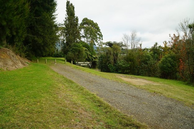
The entrance to Minden Scenic Reserve on Ainsworth Road. The lake is on the right, and there is a very small parking area down the track to the right of the sign, next to the lake. The track starts on the left, behind the bollards.

The lake or pond as seen from Ainsworth Road.

At the track start there is a small grassed area, with a picnic table on the right.
The loop starts after a short distance along the track. The track down to the right leads to another grass area with picnic tables, and the start of the loop walked in an anti-clockwise direction. The clockwise loop walk continues straight ahead on the left.
The track is mostly wide, almost level, and provides an easy walk. Here it enters the bush, and is marked as a 10-minute loop. It follows alongside a small stream.
The track leading from Ainsworth Road is seen on the right. The small bridge crosses the stream, with the return section of the clockwise loop on the left, back down to a picnic area and continuing on to Ainsworth Road.

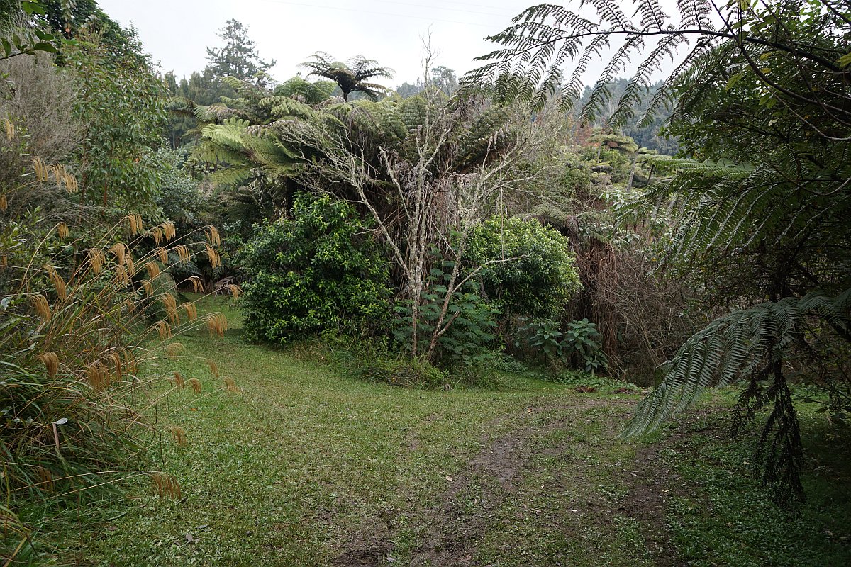
There is also a track continuing on up the gully alongside the stream, from the turning point of the loop track. There are no markers to indicate the track, but it is obviously used both by walkers and mountain bikers.
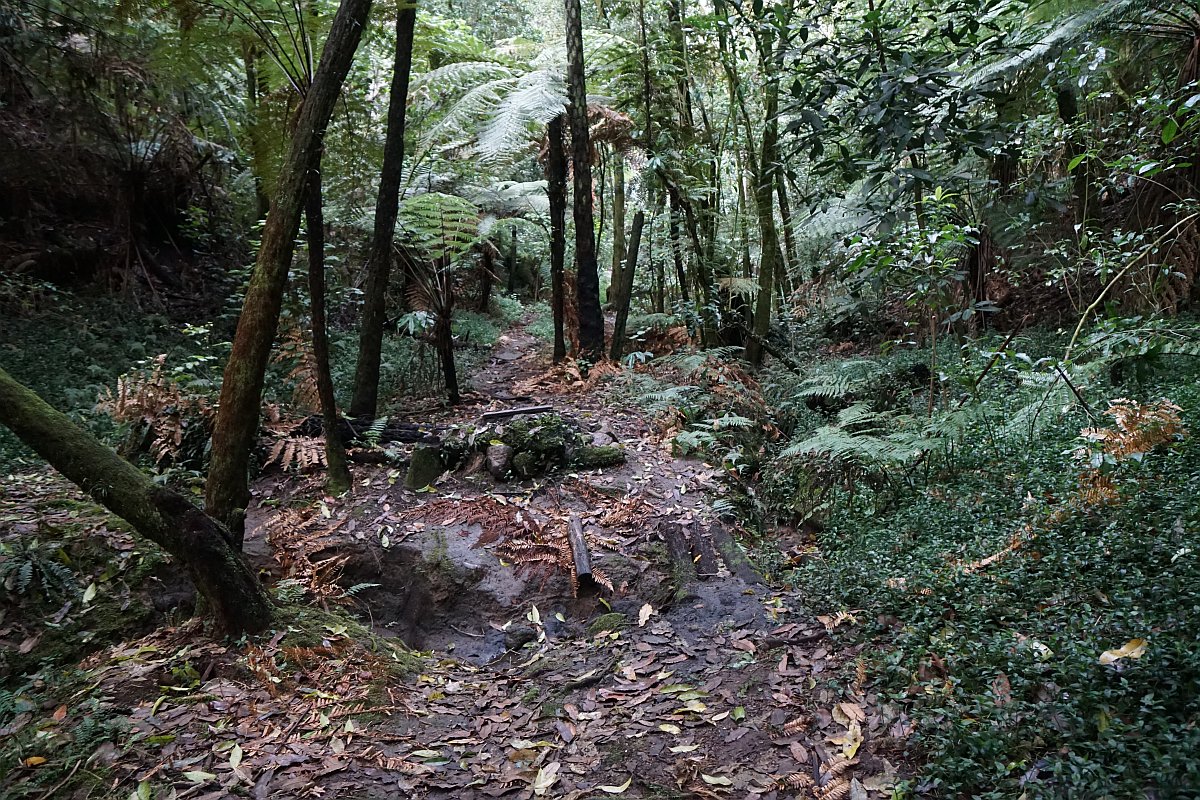
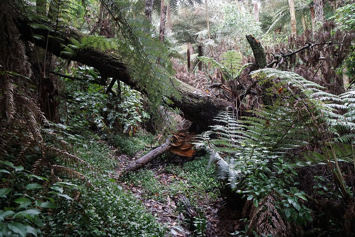
A couple of obstacles present themselves along the track.
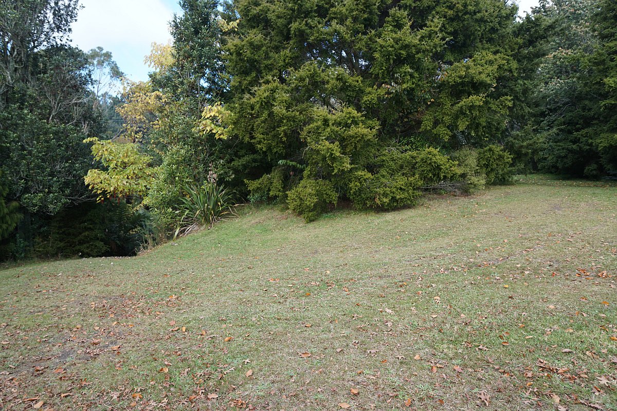
As the track approaches Minden Road there is a fork, with the branch to the right leading to a grass area (presumably private land), and the fork to the left leading to Minden Road.
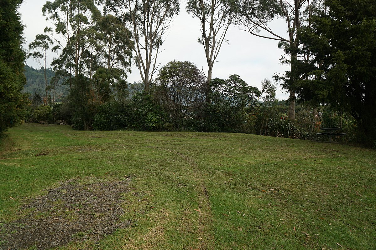
The exit of the wide track onto grass area. There are no boundary fences, but survey markers have recently been added.
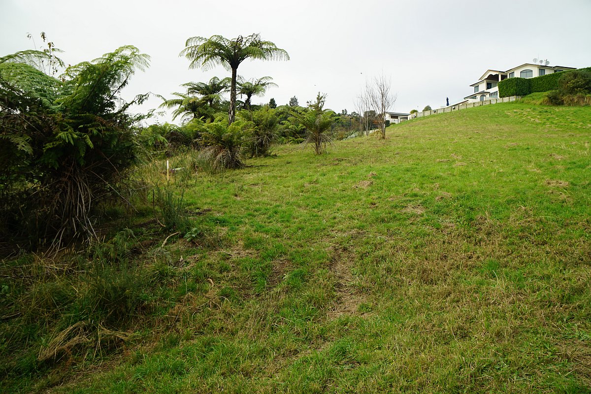
The view of the western part of the Bay of Plenty from the grass area.

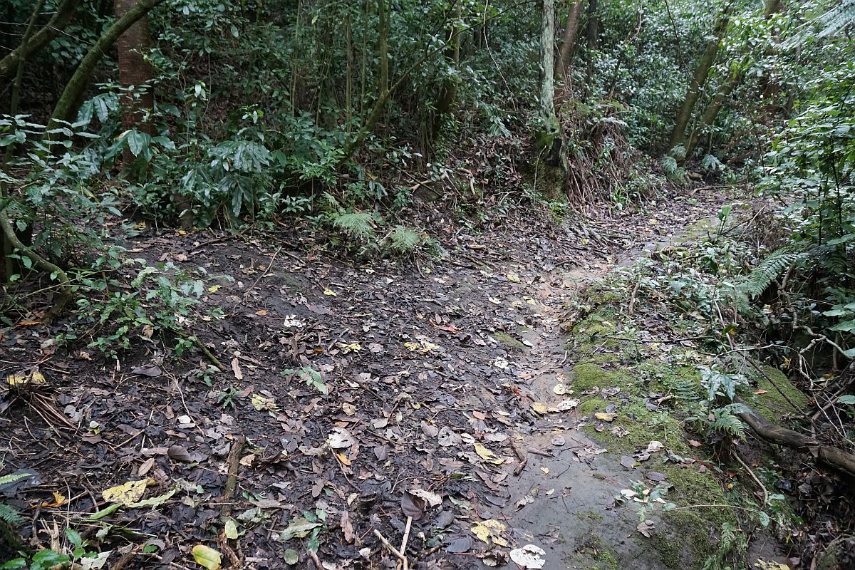
The left branch of the track is steeper and follows an old fence line for part of the way. Most of it is very slippery when wet and covered with dead leaves.

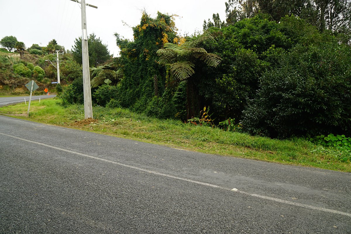
The exit of the track onto Minden Road is not very obvious. It is directly across the road from 227 Minden Road, only a few metres from the intersection with Dawn View Place. The track entry is through the bush on the far right.
Back down at the loop track the return branch is mostly well formed and a very gentle gradient.

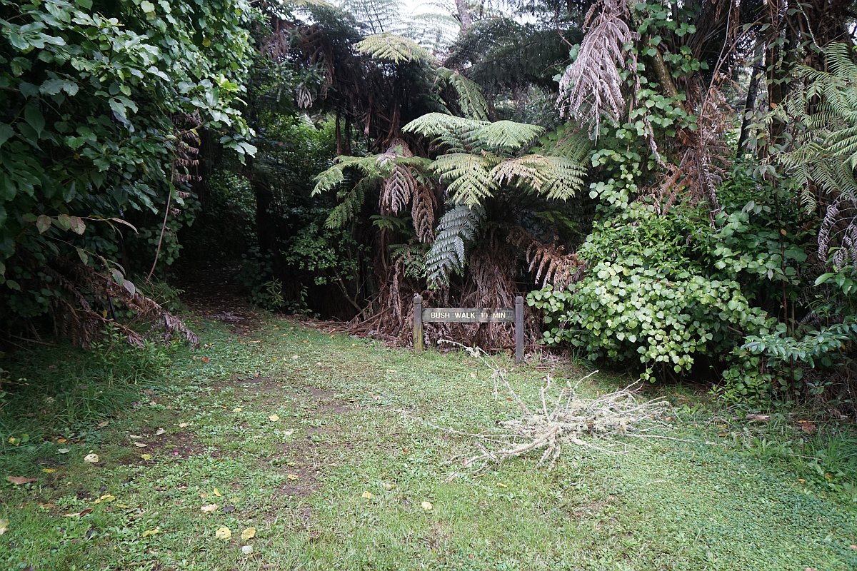
The exit of the loop track from the bush. It is marked as a 10-minute walk.

The picnic area, with two picnic tables, where the track exits from the bush.

The picnic area is on the right and the track leading down to the left returns to the track leading back to Ainsworth Road.
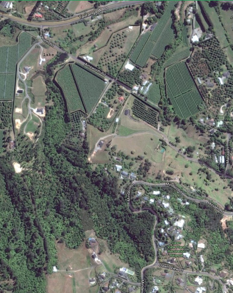
The GPS map shows the tracks walked. The length of the loop track was not measured, but the distance from Ainsworth Road to Minden Road was 1.2 km, and took 25 minutes. The lowest point at the start of the walk is about 30 metres above sea level, and the highest point at Minden Road about 150 metres asl.

The satellite image, taken from Google Maps, shows the reserve and the area around it. The lake on Ainsworth Road is at the top left, and Dawn View Place, near the exit of the track, on the bottom right of the image.
The tracks were walked on June 14, 2016.
