
The Wentworth Falls are accessible from the end of Wentworth Valley Rd near Whangamata on an easy walking track. The falls consist of two drops of about 20 metres each, and can be seen from a viewing platform close to the Wentworth Falls Track. Another track near the end of Wentworth Valley Rd leads past two old gold mine adits or entrances.
There is a DoC campground at the end of Wentworth Valley Rd, and the track starts by the campground. A public parking area is available nearby.
The falls viewing platform is about 3.5 km from the parking area, with access along a well-formed and easy track with only a few steps to get to the platform. The remainder of the track has a very easy gradient. The walk took less than one hour in each direction. The DoC signs indicate a time of 1 h 15 m in each direction, or 2 h 30 m to the falls and back. There are basic toilet facilities by the track, near the campground.
Information about the track is available on the DoC web site.
Wentworth Valley Rd has a ford which should be passable by any vehicle except after heavy rain. Two days after a day with autumn rain it was only about 10cm deep.

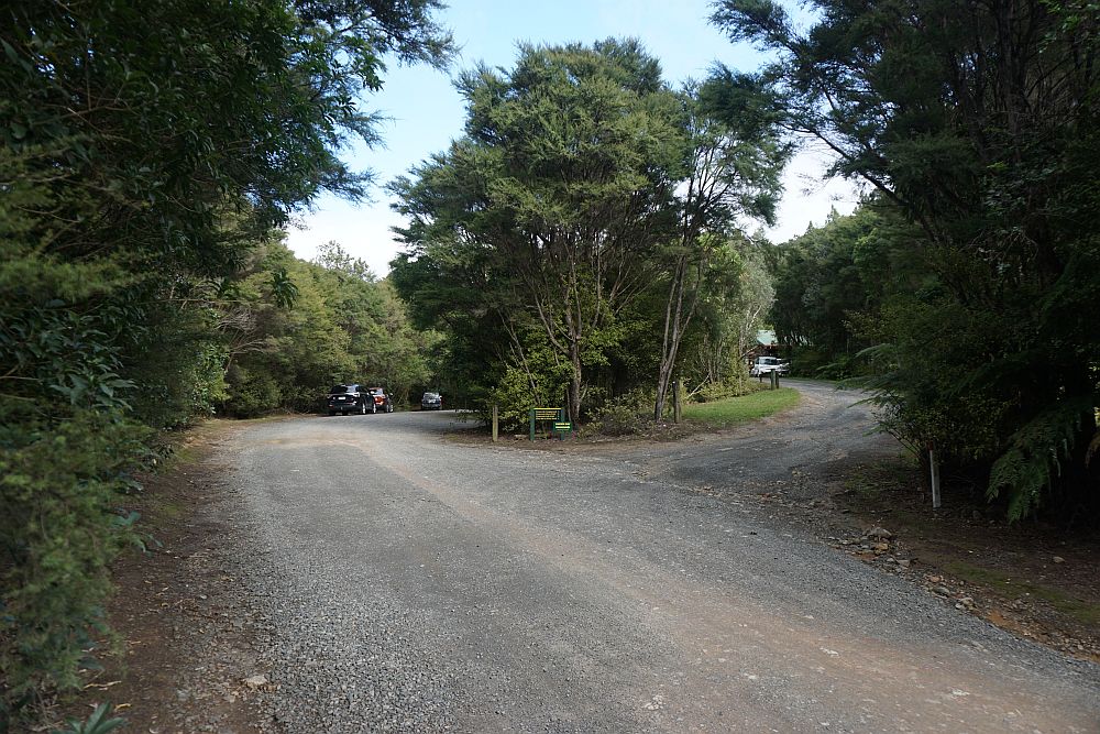
The parking area at the end of Wentworth Valley Rd is on the left, the access to the campground office on the right.
The start of the track by the parking area. The track to the falls is of similar quality and width for most of the way to the viewing platform. Wide enough for two walkers side by side, and with a good stone chip layer.

A track to the picnic area near the ford on Wentworth Valley Rd starts near the picnic area. This track was used for the return to the carpark.

The stream is crossed 3 times on the track to the falls. This is the bridge by the start of the track, looking back towards the parking area.

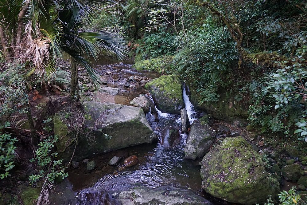
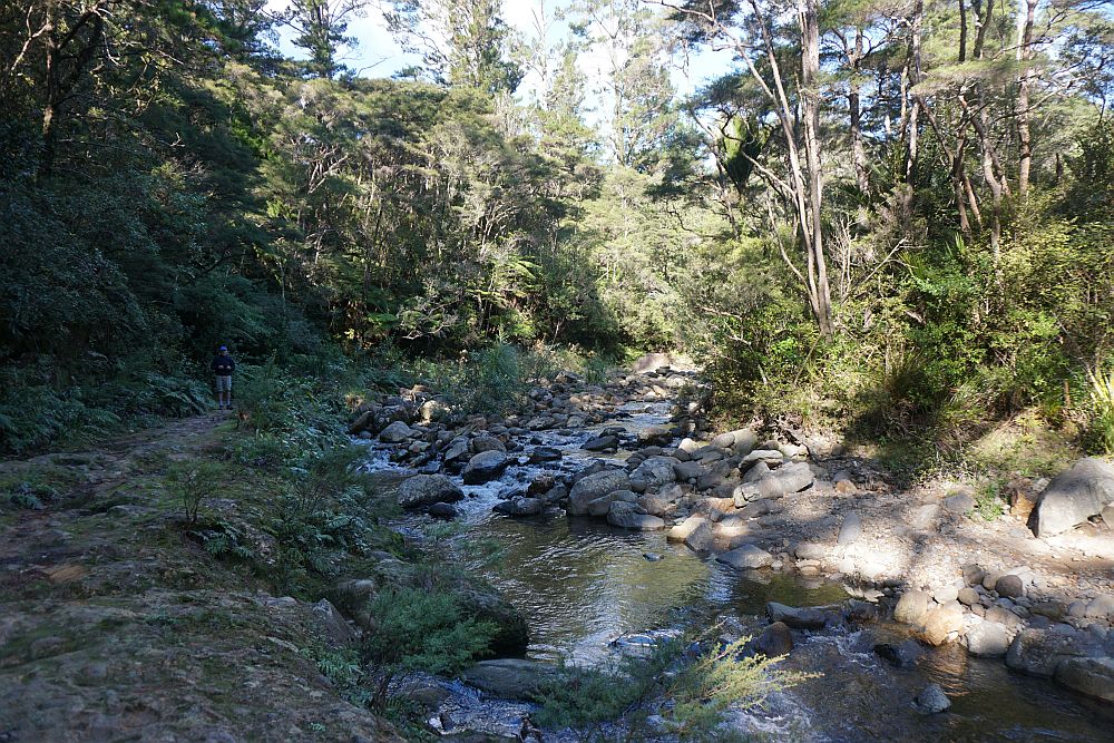
The track follows quite close to the stream for most of the way to the falls.

The two other bridges are well constructed wooden bridges spanning the stream. This view from one of the bridges.
The short side track and steps to the right lead to the viewing platform. The track continues on to the top of the falls and further to Wires Rd.

The falls as seen from the viewing platform. The falls would be better viewed earlier in the day with the sun shining on them, or on a cloudy day with less contrast between the vegetation and the falls.

A short distance, about 200 m further on, with an easy climb, gives access to the top of the falls. There’s even a view down the valley to the sea near Whangamata from the track.

The upper fall as seen from above.
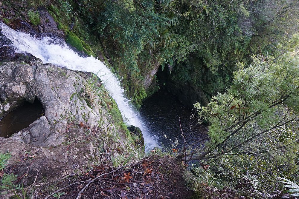
The stream as it disappears over the edge of the top fall.

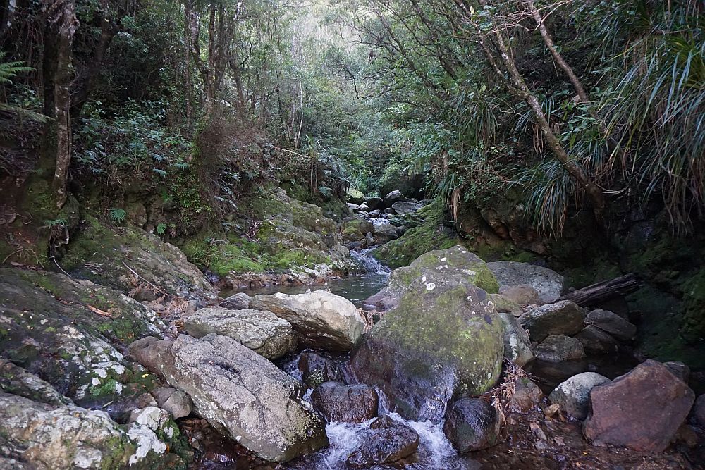
Looking upstream from the edge of the falls. A good spot to enjoy the picnic lunch.
An older and rougher track runs parallel to the new track and closer to the stream for a short distance, not far from the campground.
Taking the mines walk on the way back added about 1.5 km to the length of the walk. The track is rough in places, not well marked, and apparently not much used. Two adits or mine entrances are located next to the track. Rockfalls make these potentially dangerous to enter.


At the northeastern end of the track there is a stream crossing, again not well marked, which can be difficult to cross without getting wet feet. With a swollen river the crossing should probably not be attempted, as the stream is flowing quite swiftly at this point.

The GPS tracklog shows the walk from the carpark to the falls viewing platform, to the top of the falls, and back via the mines walk. Total distance from the carpark to the viewing platform is about 3.5 km, and took just under 1 hour. The return walk via the mine track and Wentworth Valley Rd was 5 km and took 1 hour 30 minutes.

The walk was done on May 10, 2015.
