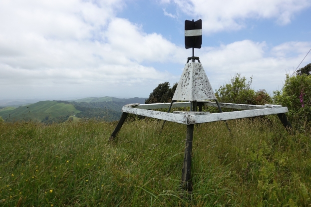
Hapuakohe Walkway in the Waikato consists of two parts. The northern part connects North Road (off SH27) and Ohinewai Road (also off SH27) along Hapuakohe Range. The southern part connects Ohinewai Road and Mangapiko Valley Road, passing by Maungakawa trig station on the way. The northern part is signposted as an 8-hour walk, with the southern a 6-hour walk. Information about the track can be found on the DoC web site. The walkway is west of SH27, about 50 km north-east of Hamilton and 65 km south-east of Auckland.
This post describes only the portion of the southern part of the walkway between Ohinewai Road and Maungakawa Trig.
