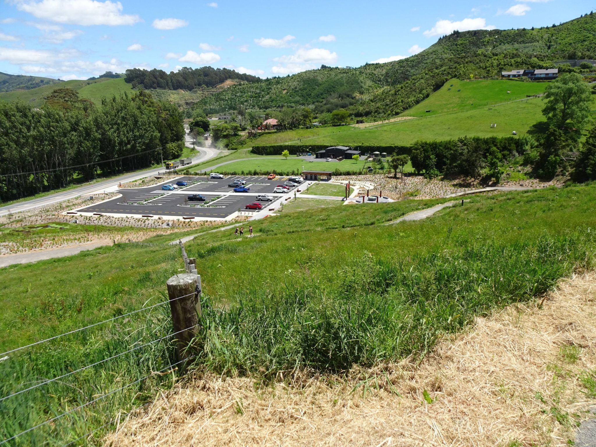
A new entrance to the Pāpāmoa Hills Cultural Heritage Regional Park, including parking area, toilets, entryway and tracks, was officially opened on November 25, 2023. Details of the dawn blessing were covered on the SunLive website and in the Bay of Plenty/Te Puke Times. More details of the park can be found on the Bay of Plenty Regional Council web site. The old carpark is still available.
This post covers some of the new features and tracks, walking from the new carpark to the summit and back. Previous posts on this site have covered other tracks in the park, including the summit track; Maraeroa, Valley and Puriri Tracks; and Te Rae o Papamoa Track.
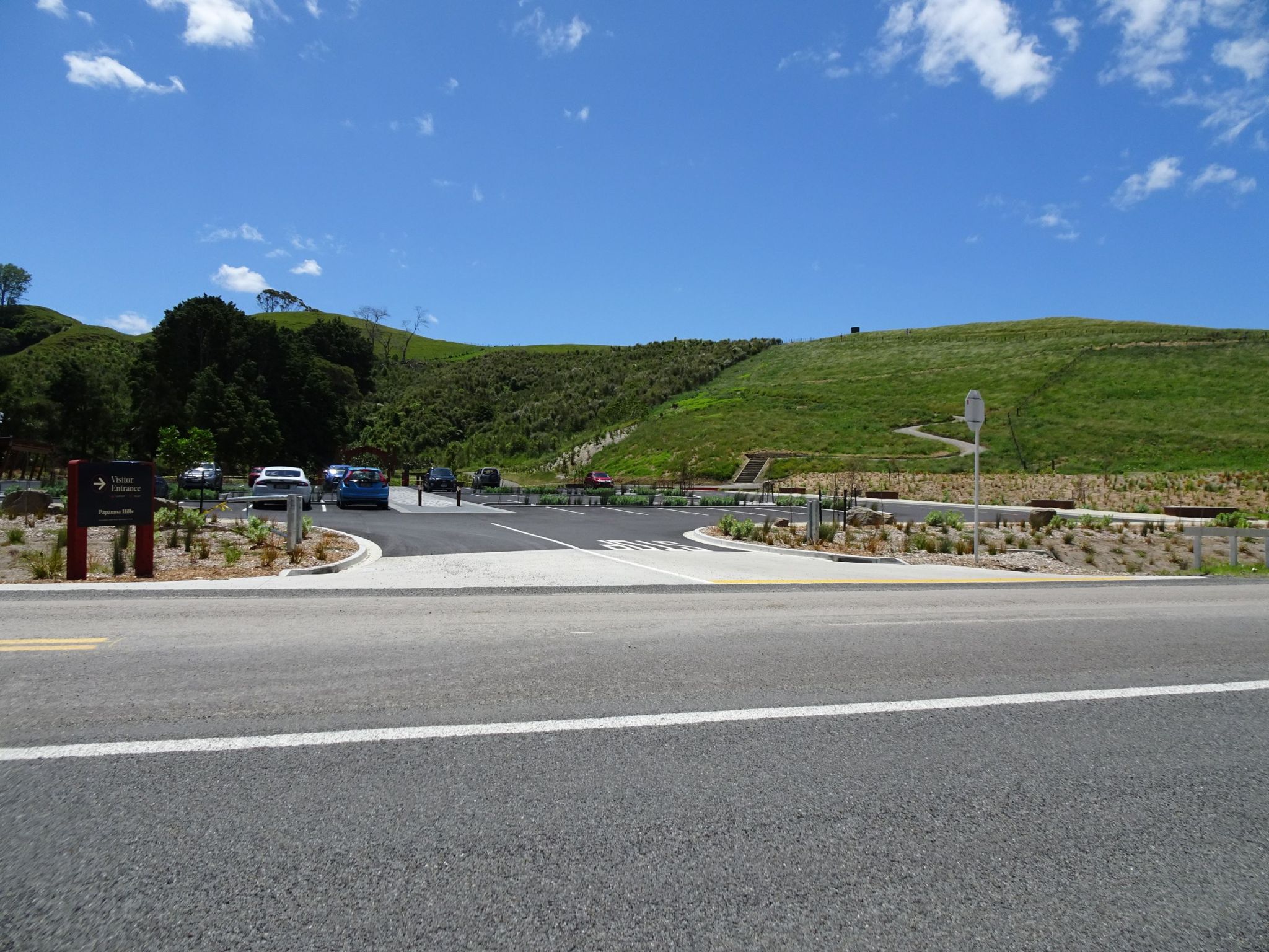
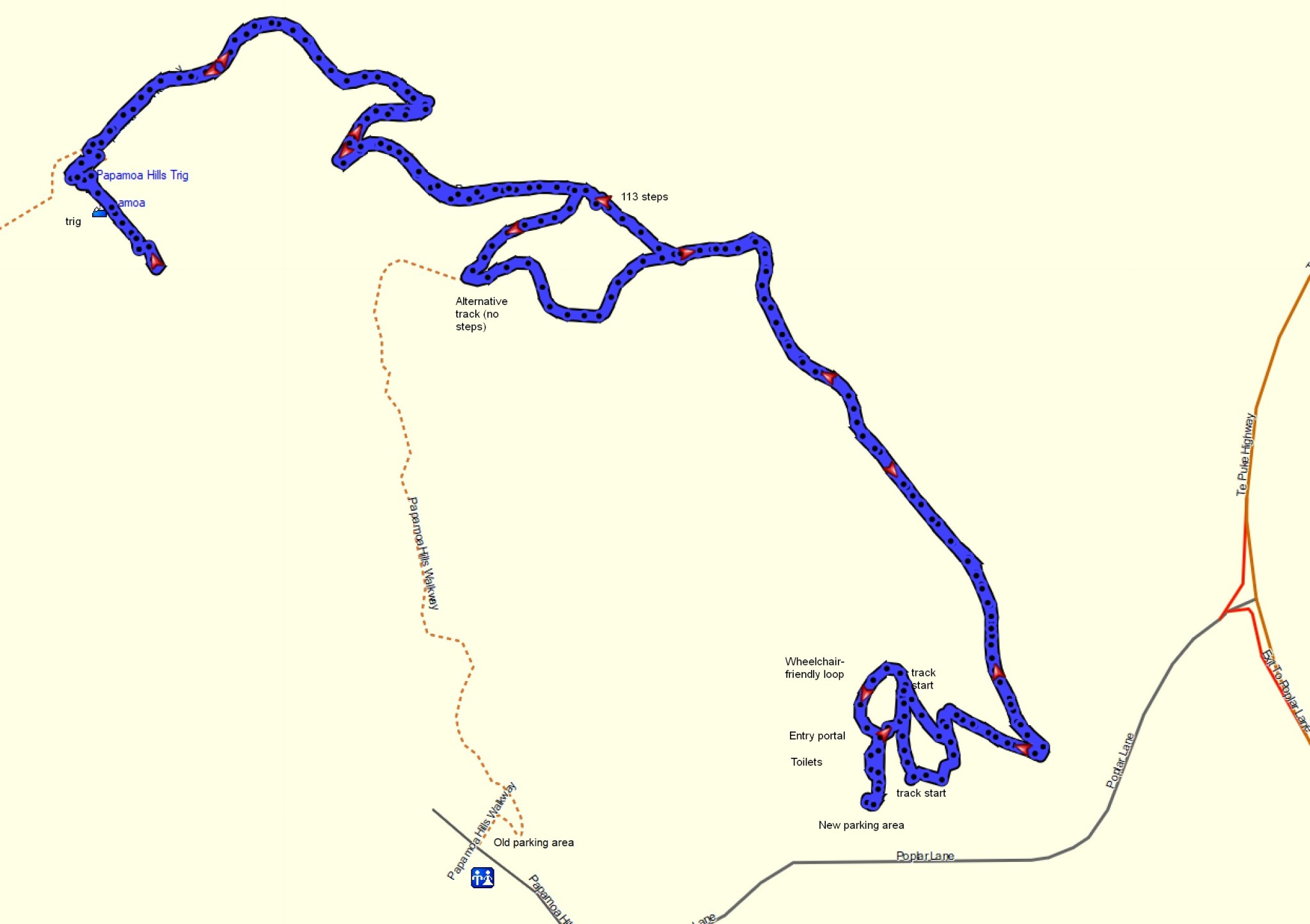
The entry is directly off Poplar Lane, a no-exit road off Te Puke Highway. The start of one of the tracks can be seen just to the right of centre with a few steps. Another track start is just to the left of centre, not far from the entry portal. There are no steps at the start of that track. The two tracks join almost directly above the steps before heading off to the right off the edge of the photo. The toilets are off the photo to the left.
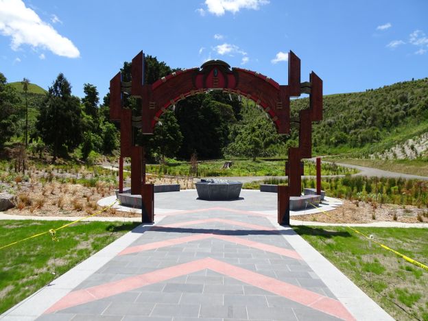
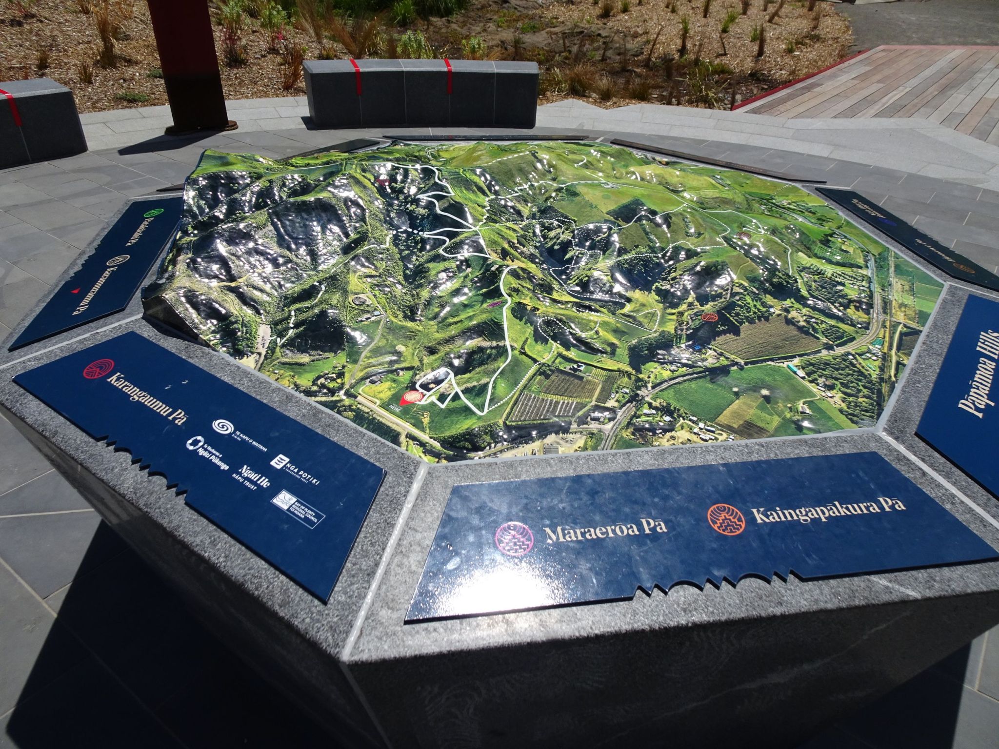
The tomokanga or entryway to the tracks. The pedestal at the centre contains a 3D map of the park, showing the tracks. A short, circular, wheelchair-friendly track can be seen behind the portal, as well as the start of the track leading to the summit. The circular track is about 175 metres long, and part of it is a boardwalk over a swampy area.

The 3D map of the park, showing the various tracks. The boldest track line from the lower edge to the top edge is the summit track, starting from the entry at the lower edge.
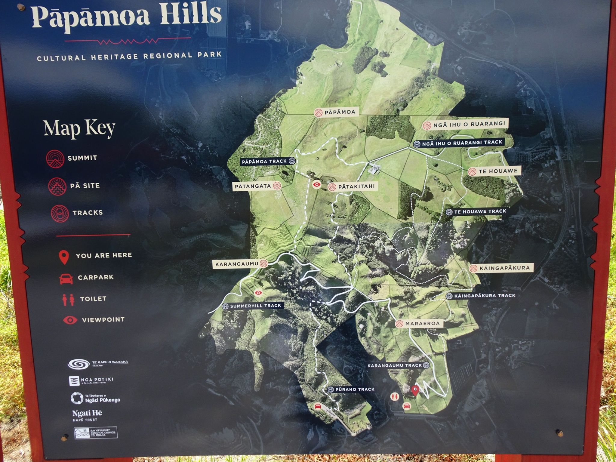
New information panels have been placed at the entry and at the various pā sites.
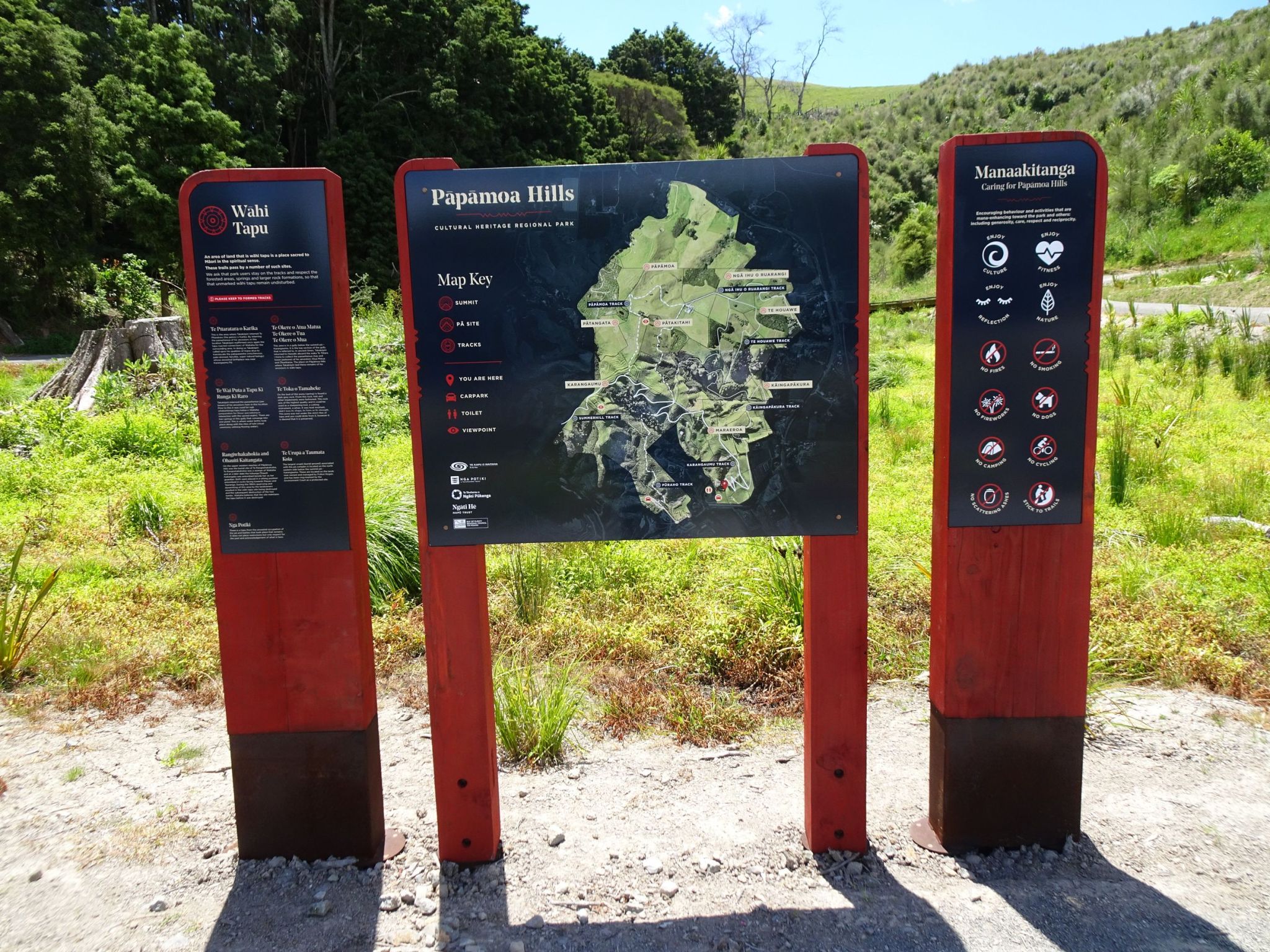
The map from the above information panel, showing the tracks.
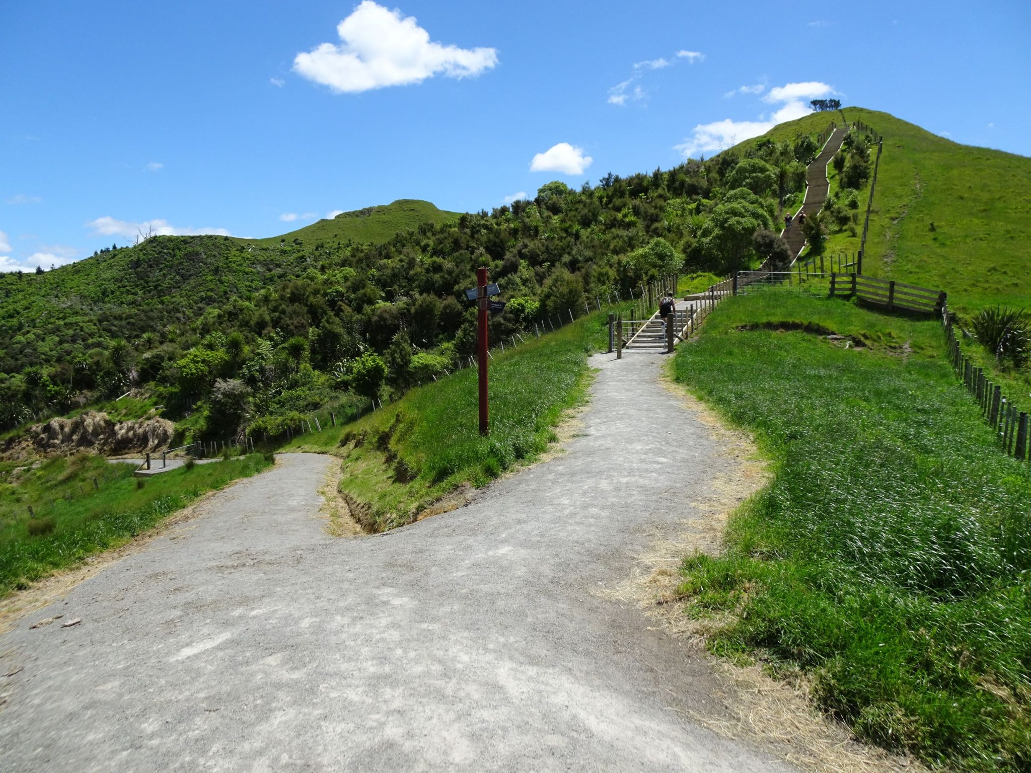
Looking back to the entry and carpark from the track to the summit.
A new stairway has been built as part of the new track. The stairway has a total of 113 steps. The new track joins up with the original summit track at the top of the stairs. An alternative route, branching off to the left, leads to the old summit track without any steps.
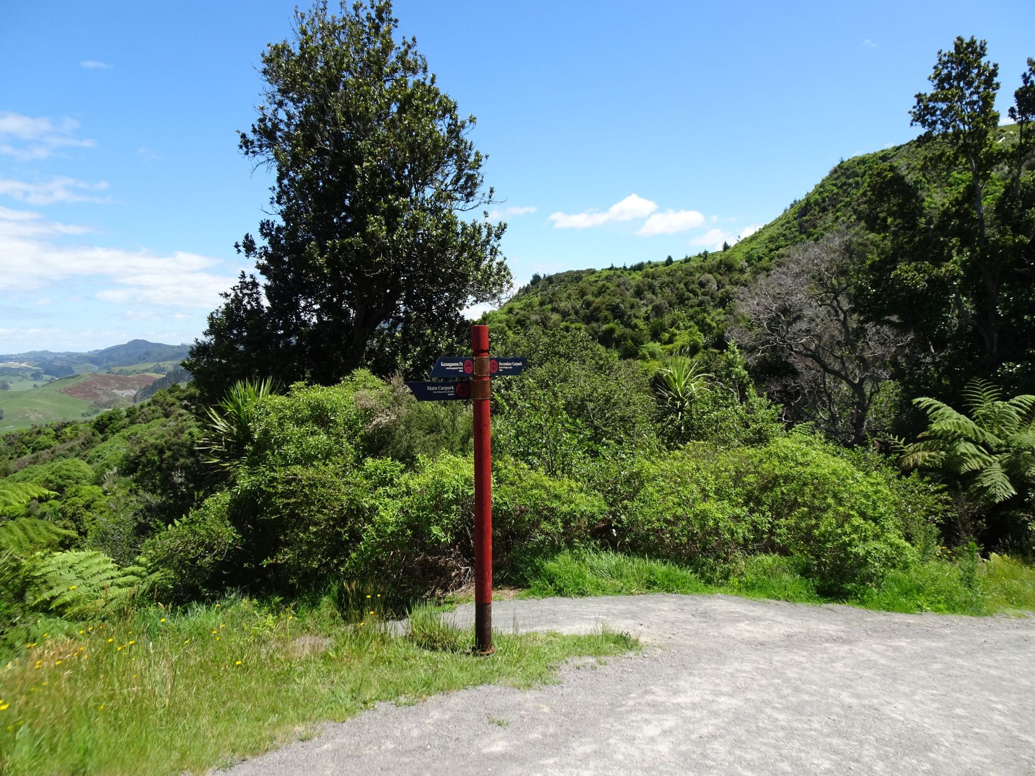
At the top of the steps the new track joins up with the original track, with several options for other tracks leading off to the right. The original summit track, and alternative route without steps to the new entry, heads down to the left.
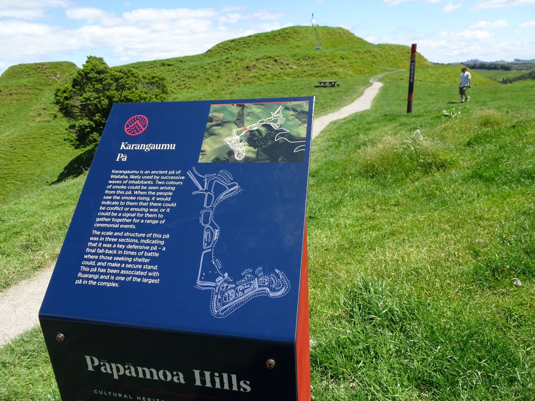
One of the new information panels describing the Karangaumu pā site at the summit. The trig station at the summit can be seen at top of picture.
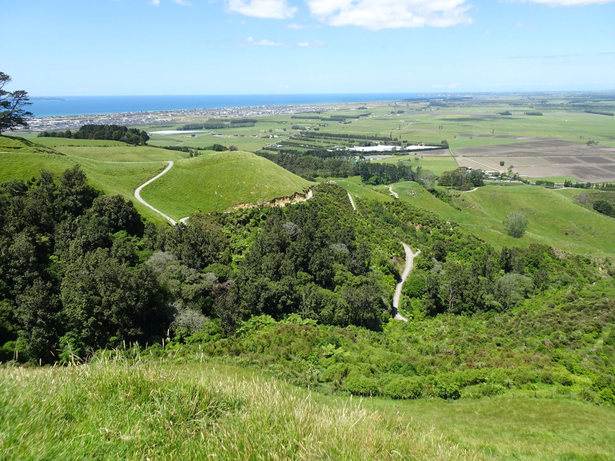
Looking down at the tracks from the summit. The track to the new entry can be seen along the ridge line at centre right. The top of the staircase is just to the right and above the centre of the photo. The alternative track without steps to the new entry can be seen branching off the old summit track below and to the right of centre.
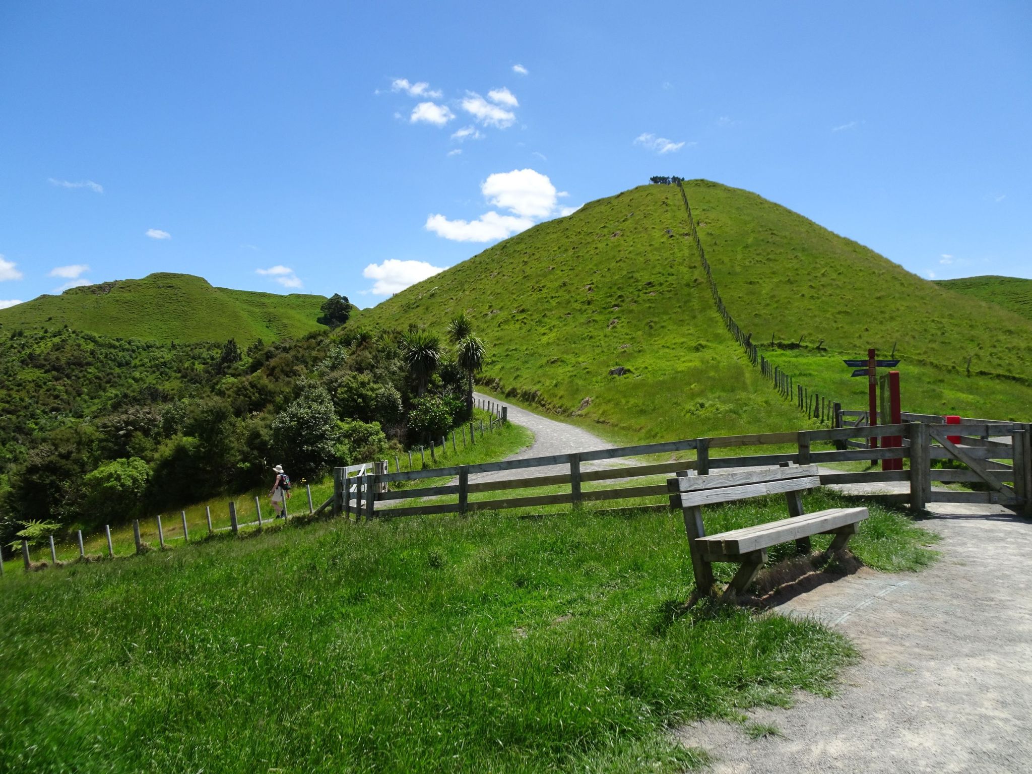
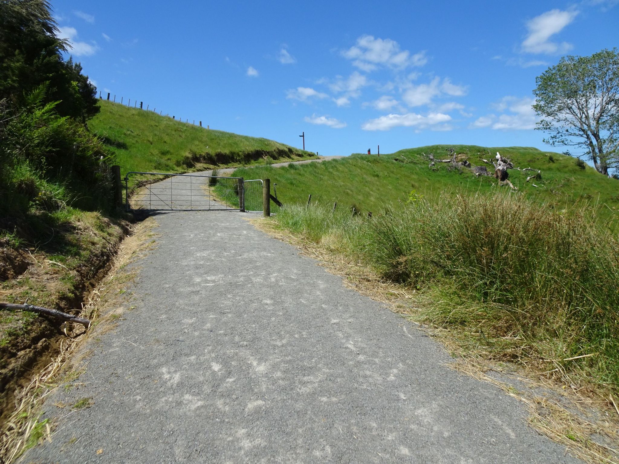
The alternative route without steps was followed on the way down. The track to the old carpark is on the right, with the new track branching off to the left.
The alternative track as it heads up towards the bottom of the staircase.
The GPS tracklog shows the tracks followed, together with a few annotations. The walk to the summit, including the staircase was about 1.9 km long and took about 40 minutes of slow walking. The return walk via the alternative route without steps was about 2.1 km long and took just over 30 minutes.
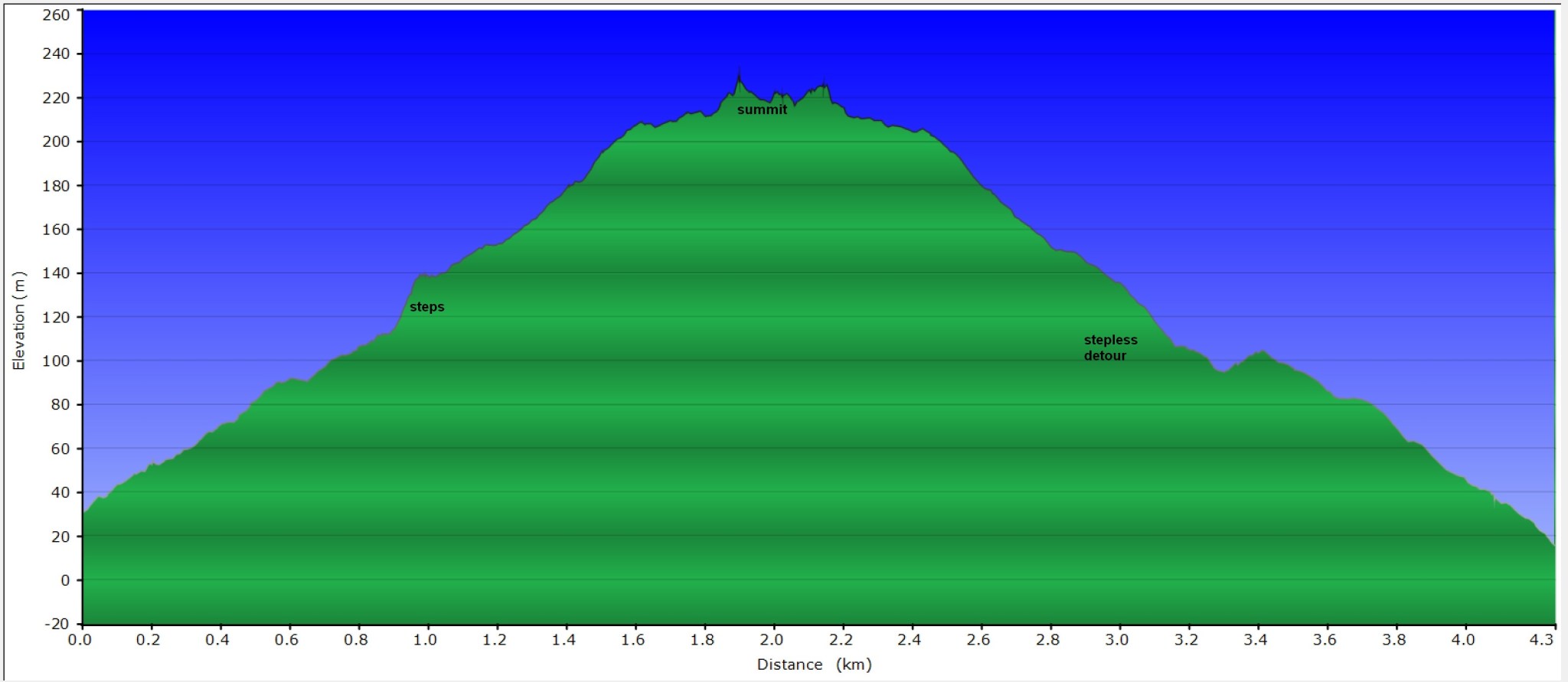
The profile shows the elevation changes, walking from the new entry on the far left, to the summit at centre, and back to the carpark on the far right.
The tracks were walked on November 30, 2023.
