A short walkway along the foreshore of Tauranga Harbour runs the length of Athenree Village. It starts at the children’s playground on Waione Ave, a continuation of Athenree Rd, and runs along a grassy foreshore under large pohutukawa trees. There are views across the harbour to the Bowentown peninsula. Except around high tide the water views will mostly be across mudflats.
Parking is available by the playground and on the grass verge along Waione Ave. There are toilets across the road from the playground.
Some years ago the Western Bay of Plenty District Council published a small booklet, Walking Tracks of the Western Bay, which included a number of short walks such as the one at Athenree Village. The booklet is apparently no longer published or updated, but a downloadable pdf version of the latest issue, taken from a resident’s guide, should be available. Currently it’s from 2014 and can be found on the WBOPDC web site by searching for walking tracks. One of the results should have the name of the booklet as the heading.
The walkway is just over 1 km long, and is almost level all the way. There are no steps or steeper climbs. Total time for both directions was about 30 minutes. It’s possible to return to the start of the track from the Dr North Memorial Reserve via Pohutukawa Drive and Athenree Rd.
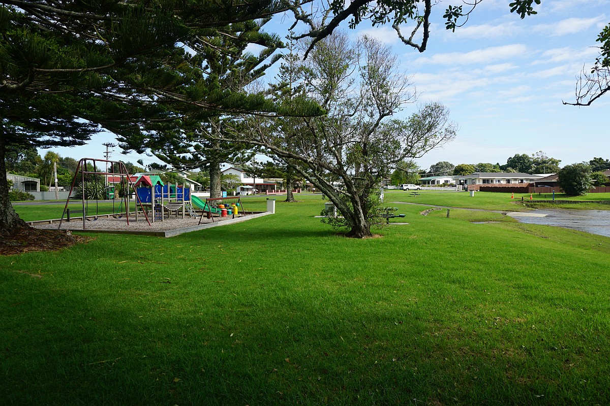
The playground on Waione Ave, with the start of the track to the right behind the boat ramp.
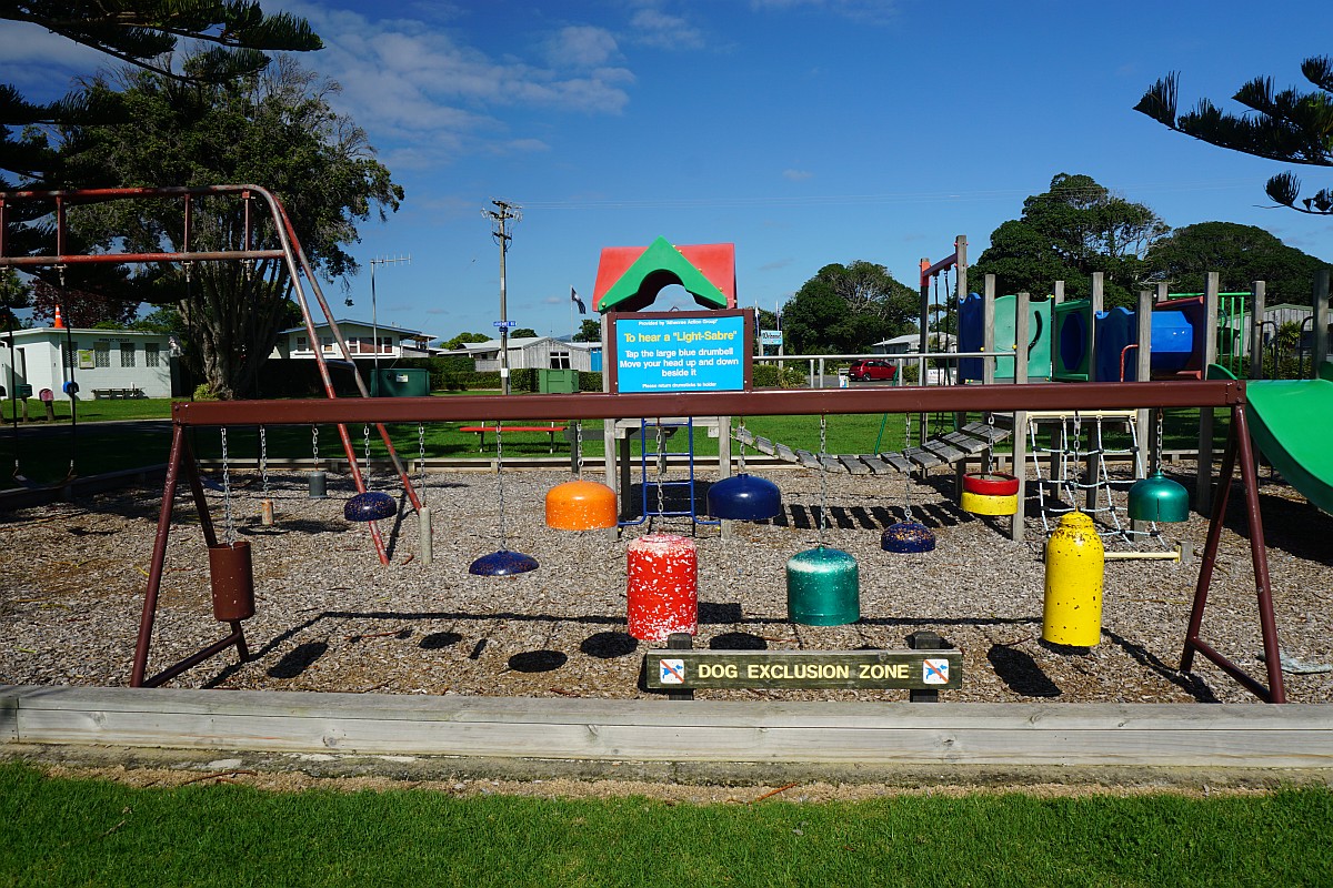
The playground even has something adults can play with – a set of ‘bells’ that can be hit to create different sounds. The toilet building can be seen on the far left.
The start of the walking track along the foreshore.

The hills and houses at Bowentown are clearly visible from the walkway.
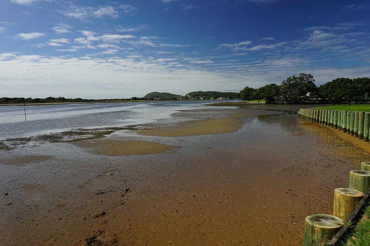
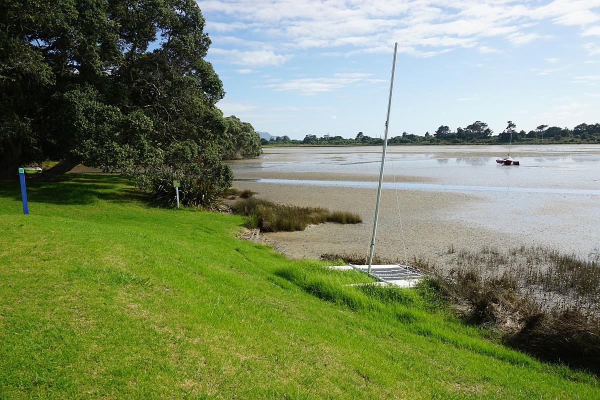
The tide was incoming, but about 4 hours from high tide. Boats were still sitting directly on the mudflats.

At least the catamarans could stay more or less upright. The one in the foreground looked as if it had been grounded all summer. On the left is a walkway through to Roretana Drive.
The walkway skirts around a tidal estuary, leading up to Dr North Memorial Reserve.

Looking back down the tidal estuary.

Dr North Memorial Reserve.

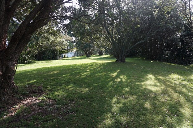
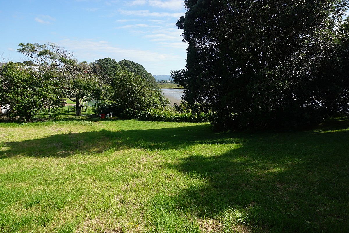
The track continues amongst the trees for a short distance on the north-western side of the estuary.

Looking across an old pohutukawa tree towards Bowentown peninsula. Apparently the mud is solid enough to support a person’s weight, as there is a person walking across the mudflats in the distance.

The walkway ends quite abruptly with no sign or other indication.
Near the end of the walkway a short set of steps leads down to a beach.

The beach accessed by the steps.

The GPS tracklog shows the route followed. Total distance in both directions was 2.2km, and took 30 minutes. The short set of steps to the beach are at the northern tip of the track.
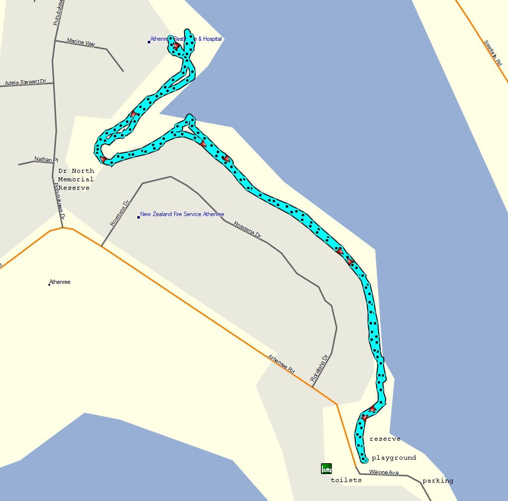
A satellite image of the area, taken from Google Maps.

The track was walked on March 3, 2016.
