
Newstead Walkway is a short, well-formed walkway at Newstead, east of Hamilton, between Vaile Rd and Morrinsville Rd/SH 26. It is about 1.1 km long with no steps and only very gentle inclines. There are some boardwalks over wet or swampy areas and a grassed area at the eucalyptus grove. A side track about 150m long leads to the northern end of Hamilton Park Cemetery and Crematorium. Dogs are permitted on the walkway, but must be kept on a leash.
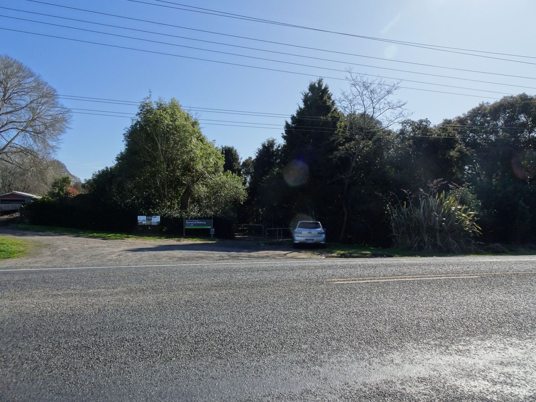
There are no facilities by the walkway but there are toilets at the Hamilton Park cemetery near the walkway. There’s a small parking area at the SH26 entry and a few vehicles can park on the verges by the Vaile Road entry, or on the roadside a short distance towards Hamilton near the Hamilton Car Club entrance. This walk was done starting at the Vaile Rd entrance and returning from the SH26 entrance with the side track to the cemetery.
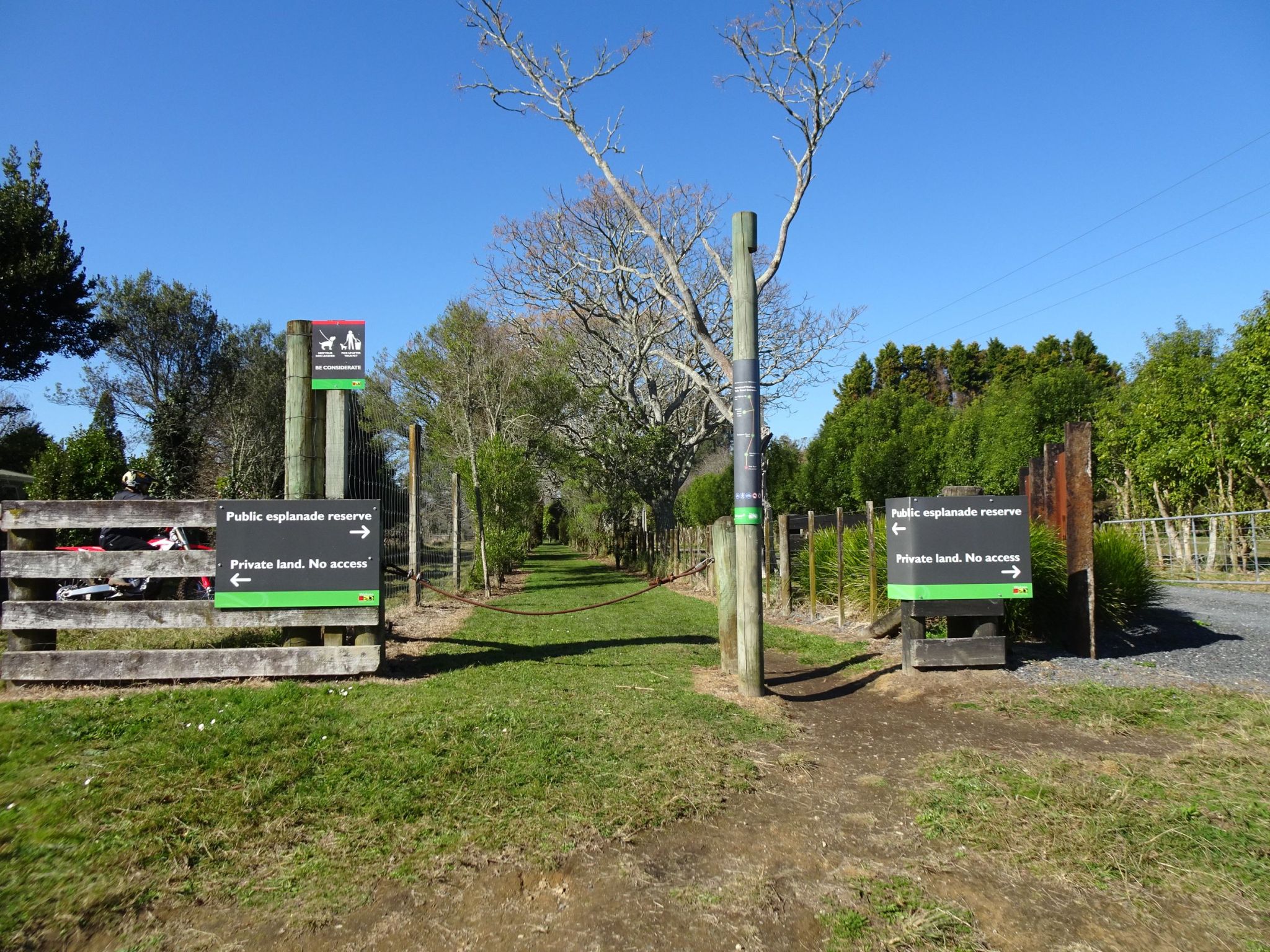
The entrance on Vaile Rd. The walkway is between the two prominent signs, and the sign on the pole shows the main features along the walkway, with distances between them.
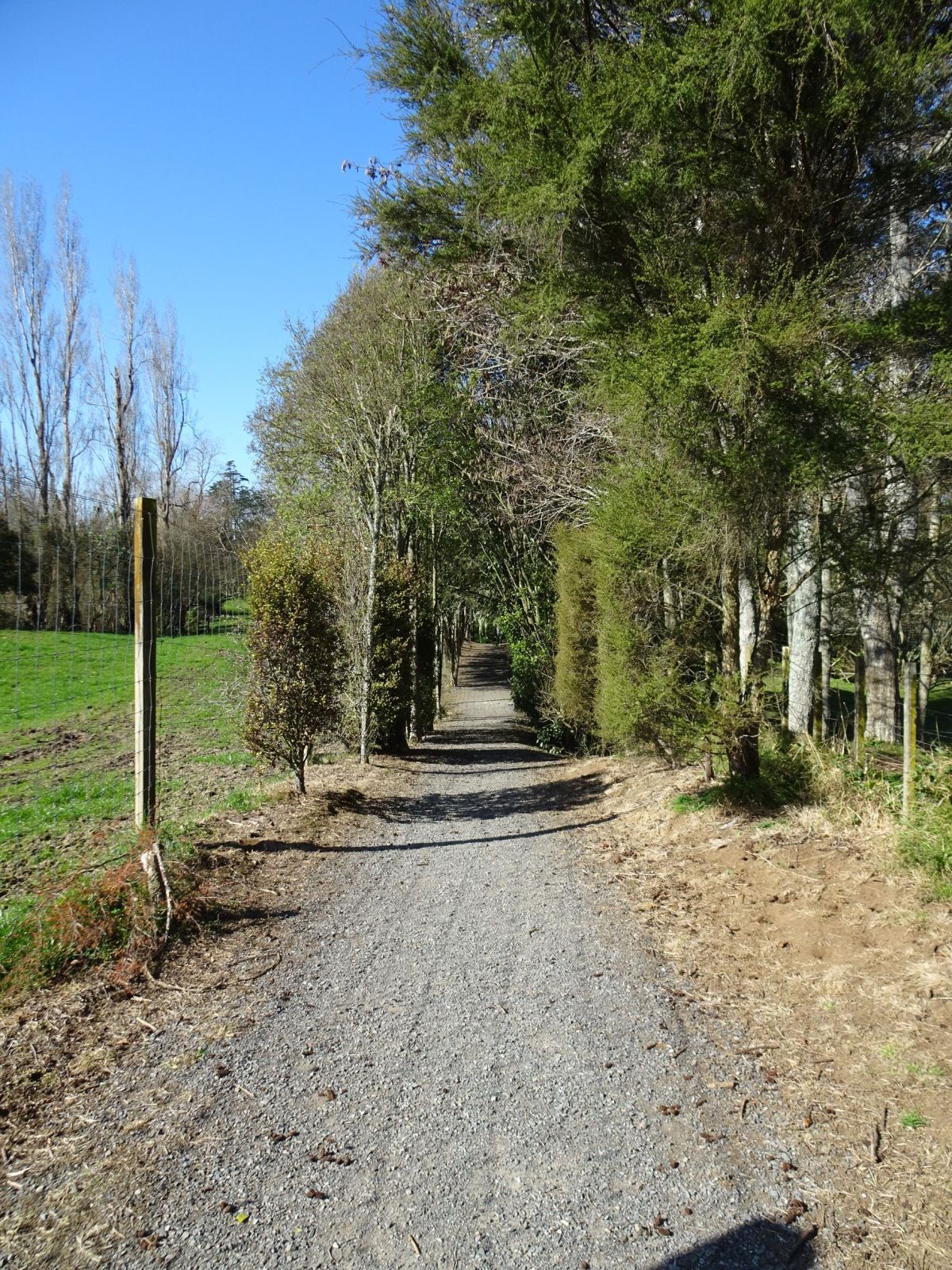
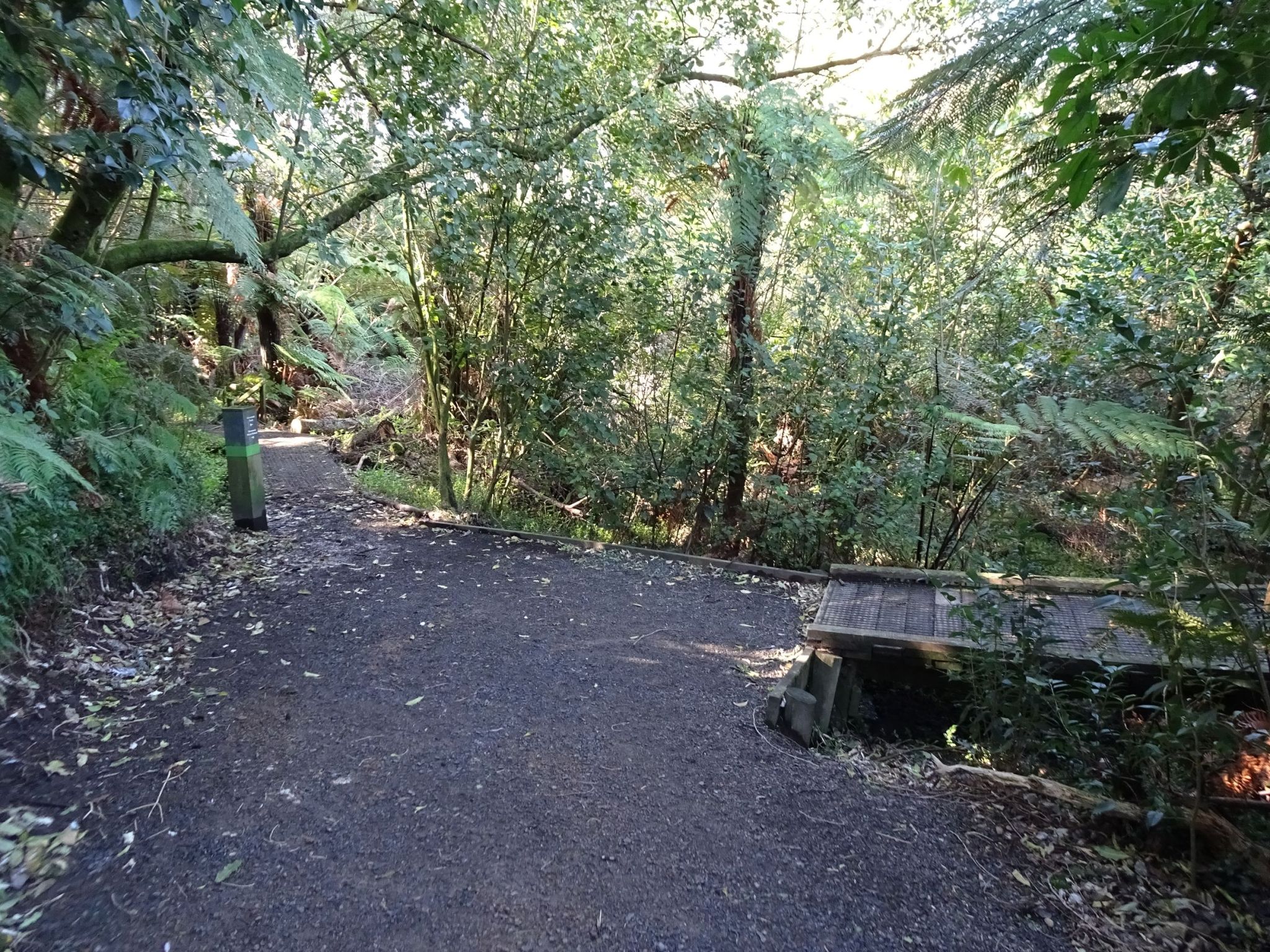
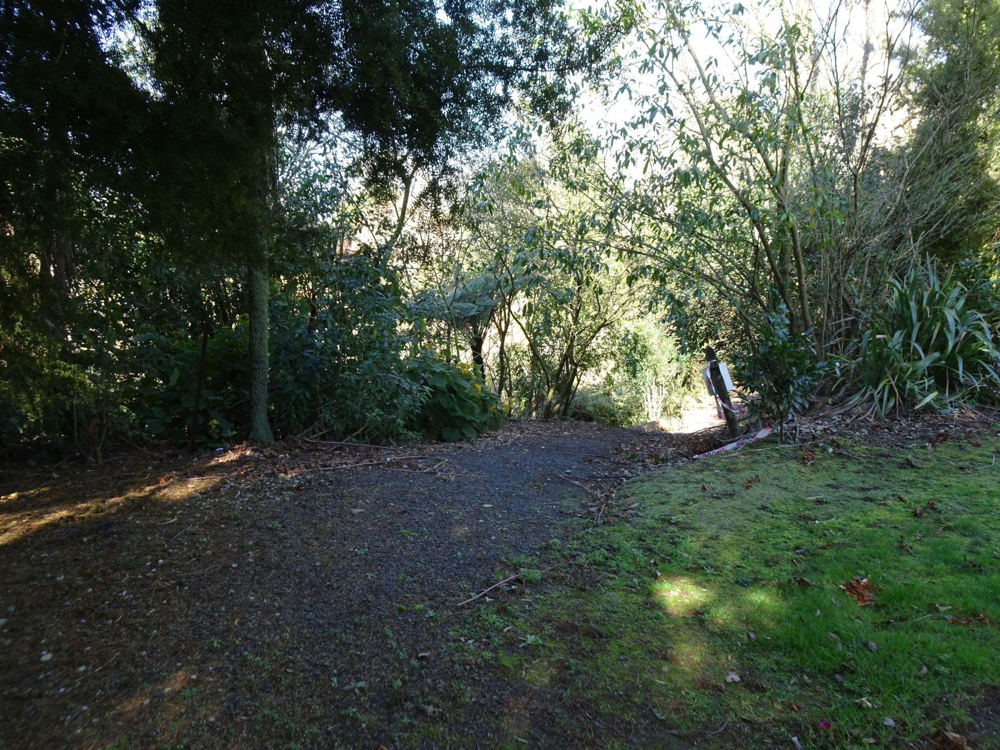
The walkway is mostly well formed with a gravel surface and only very gentle inclines. Most of it is also shaded by trees.
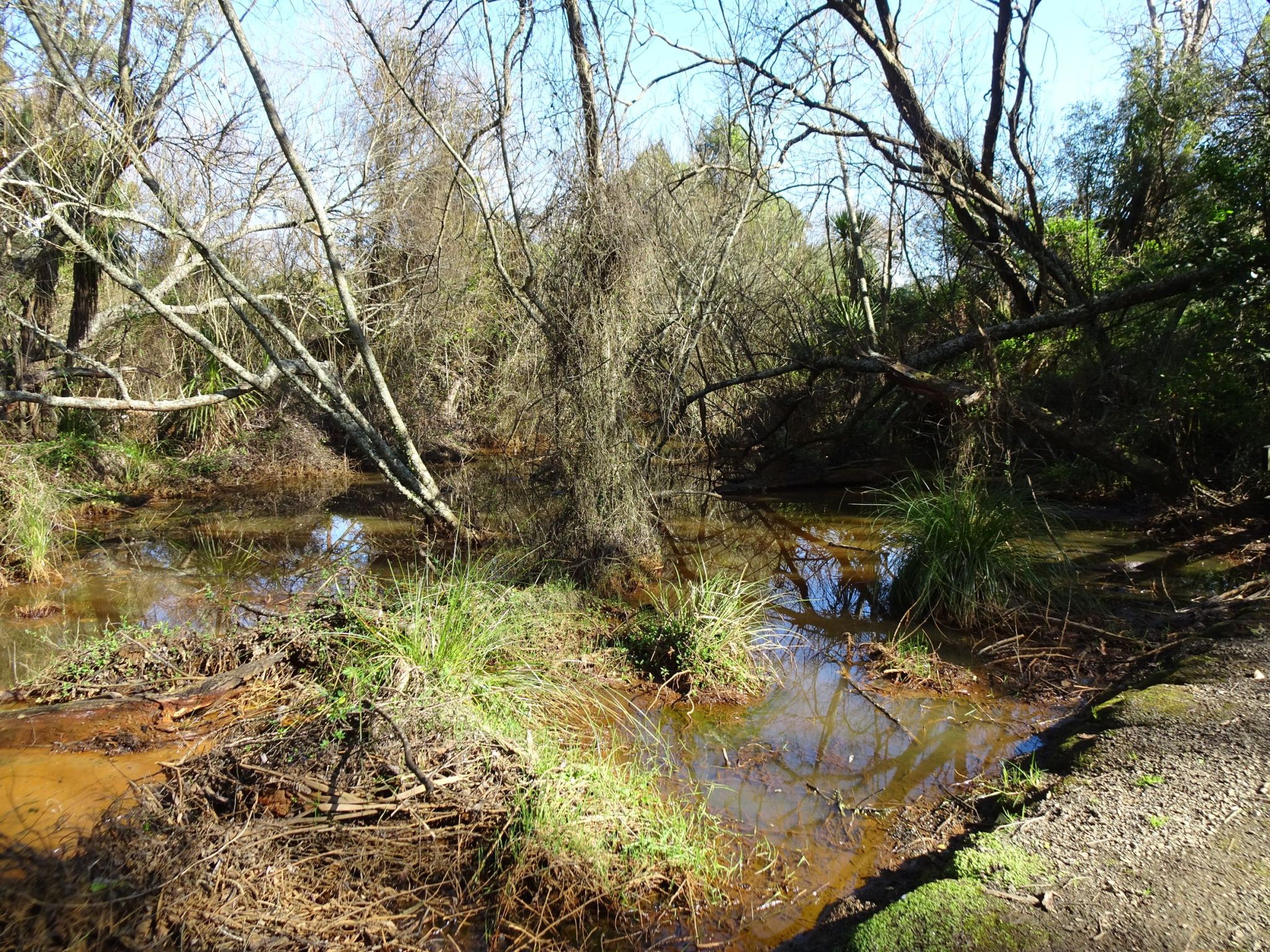
There is a small stream running alongside the walkway, with some wetland and swampy areas. There are eels in the stream, with people sometimes coming to feed them.
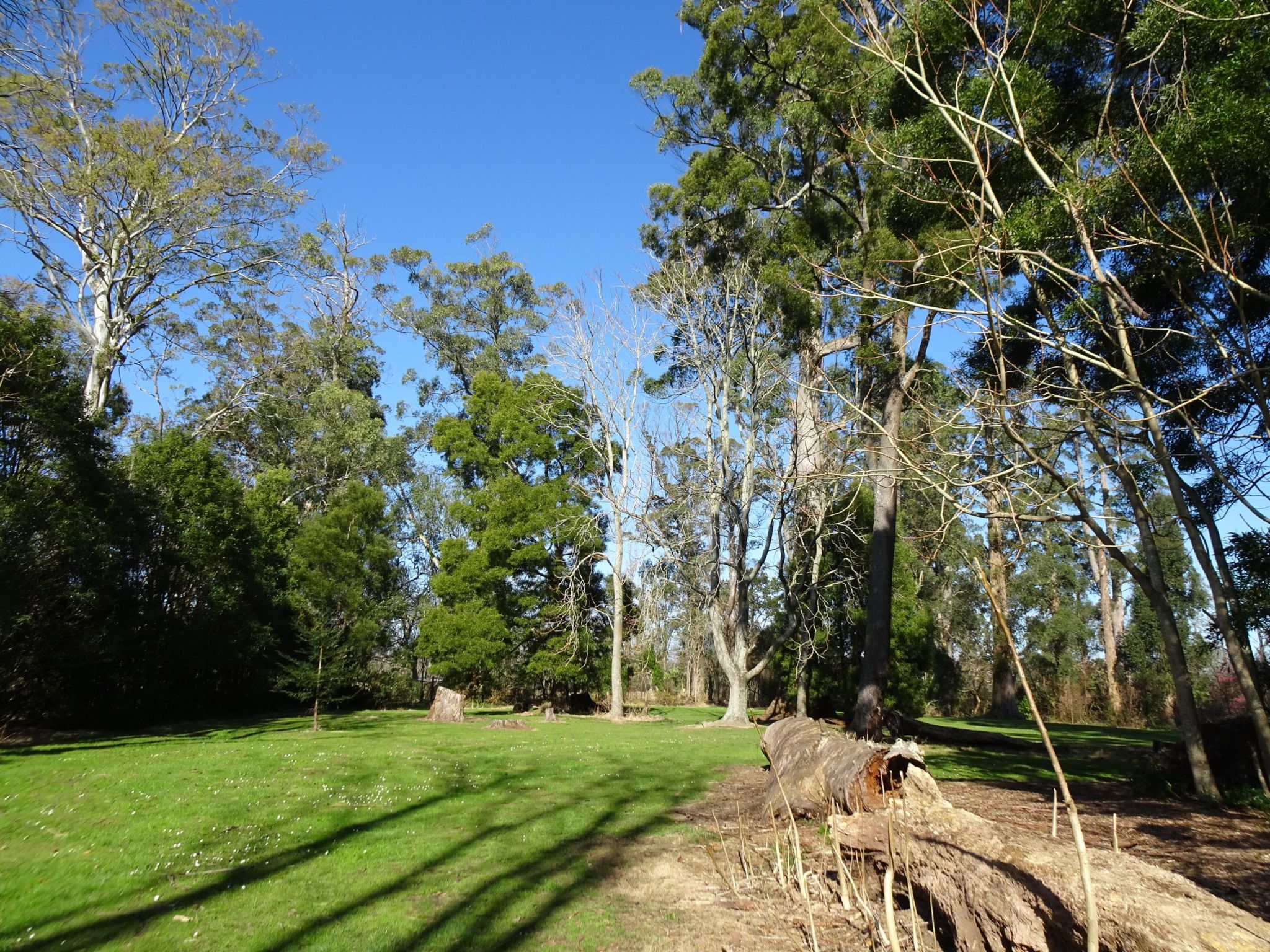
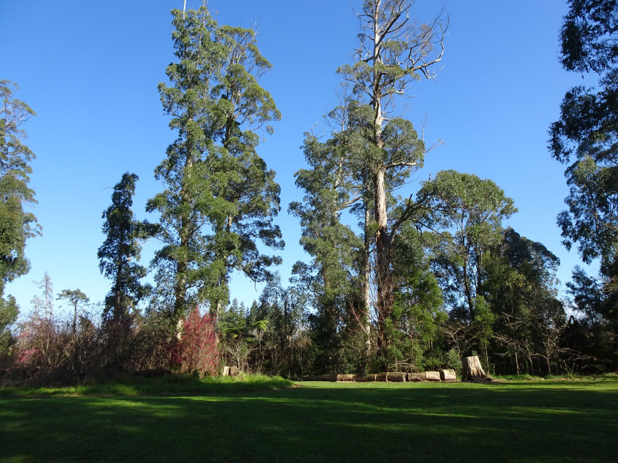
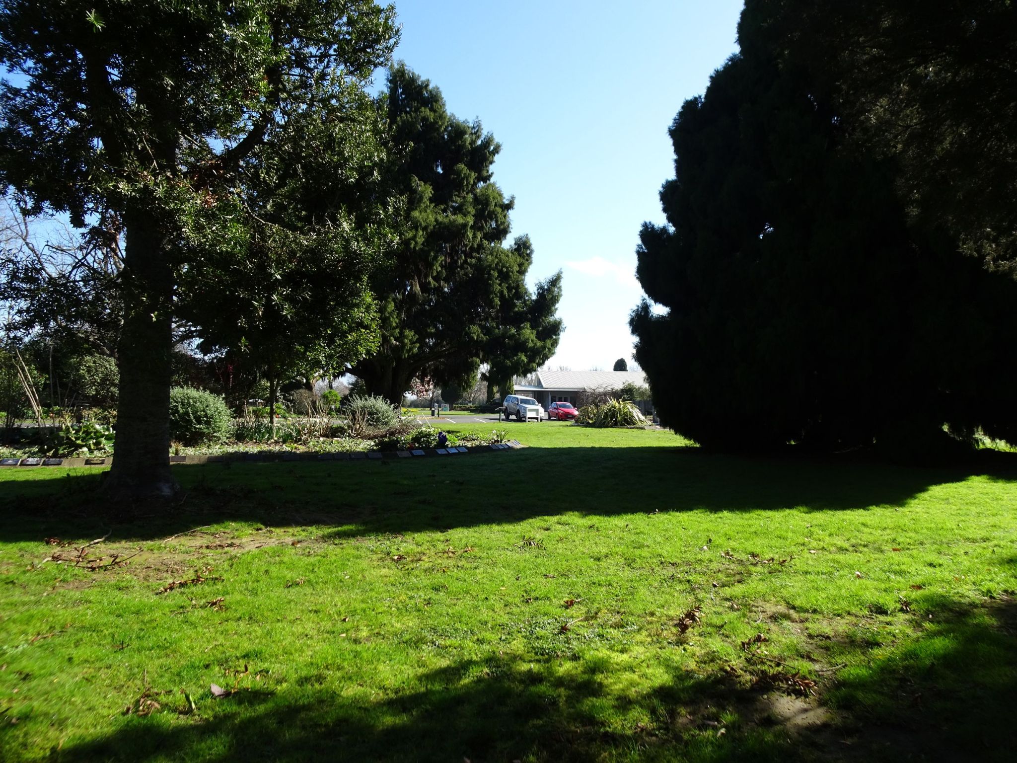
The walkway opens out onto a grassed grove with some large and very tall eucalyptus trees. There is a picnic table in the grove.
Some of the large trees fall over, even in calm weather, and can pose a risk to walkers. This has caused the walkway to be closed occasionally. One of the large fallen ones can be seen cut to shorter lengths.
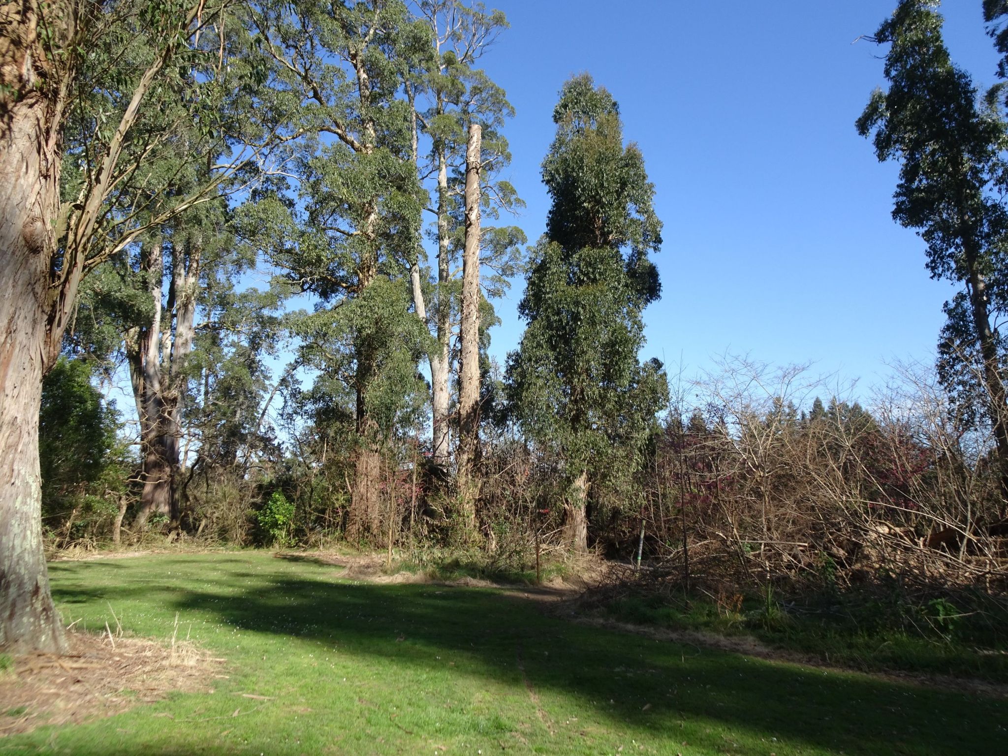
The continuation of the walkway from the eucalyptus grove towards SH26 can be seen to the right of centre. An information pole is just to the right of the smaller eucalyptus tree.
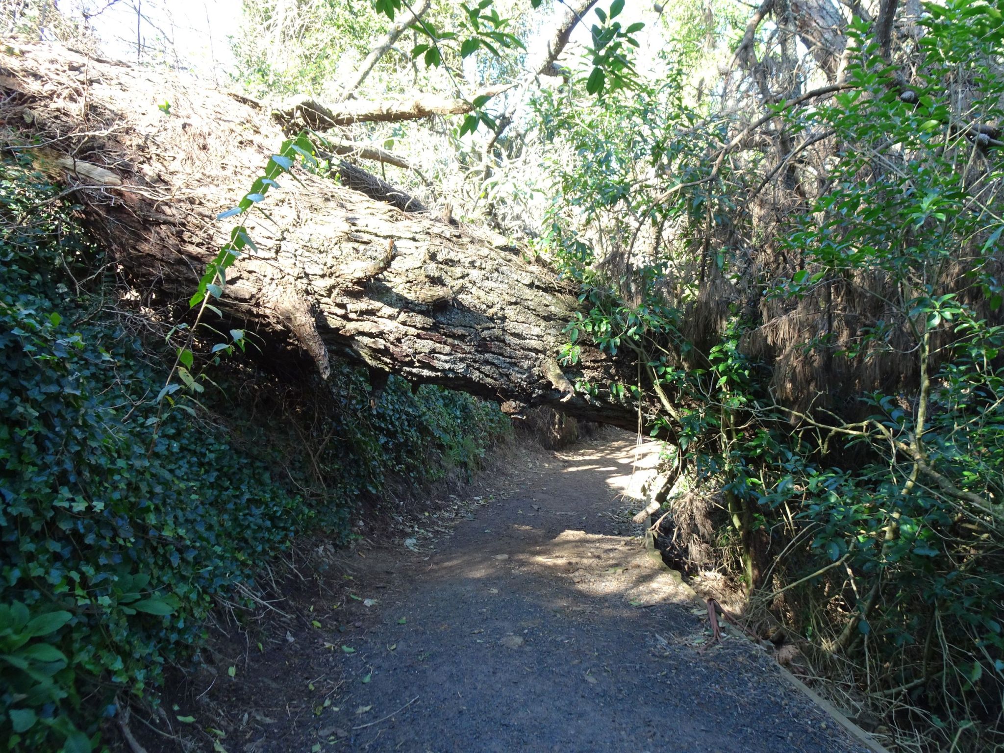
A large pine tree had fallen across the track, but with enough clearance to pass under it.
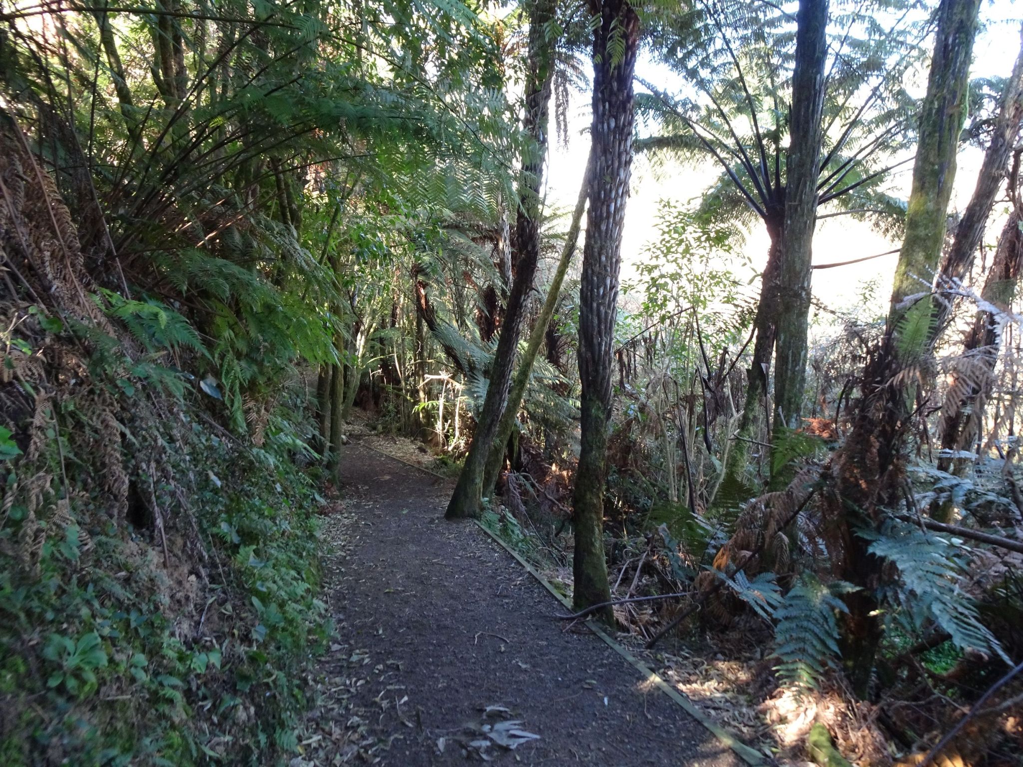
The track also passes through a grove of tree fern, with the stream off to the right.
The track to the left heads up to Newstead Model School, and to the right it crosses the stream and continues on to the cemetery and to SH26.
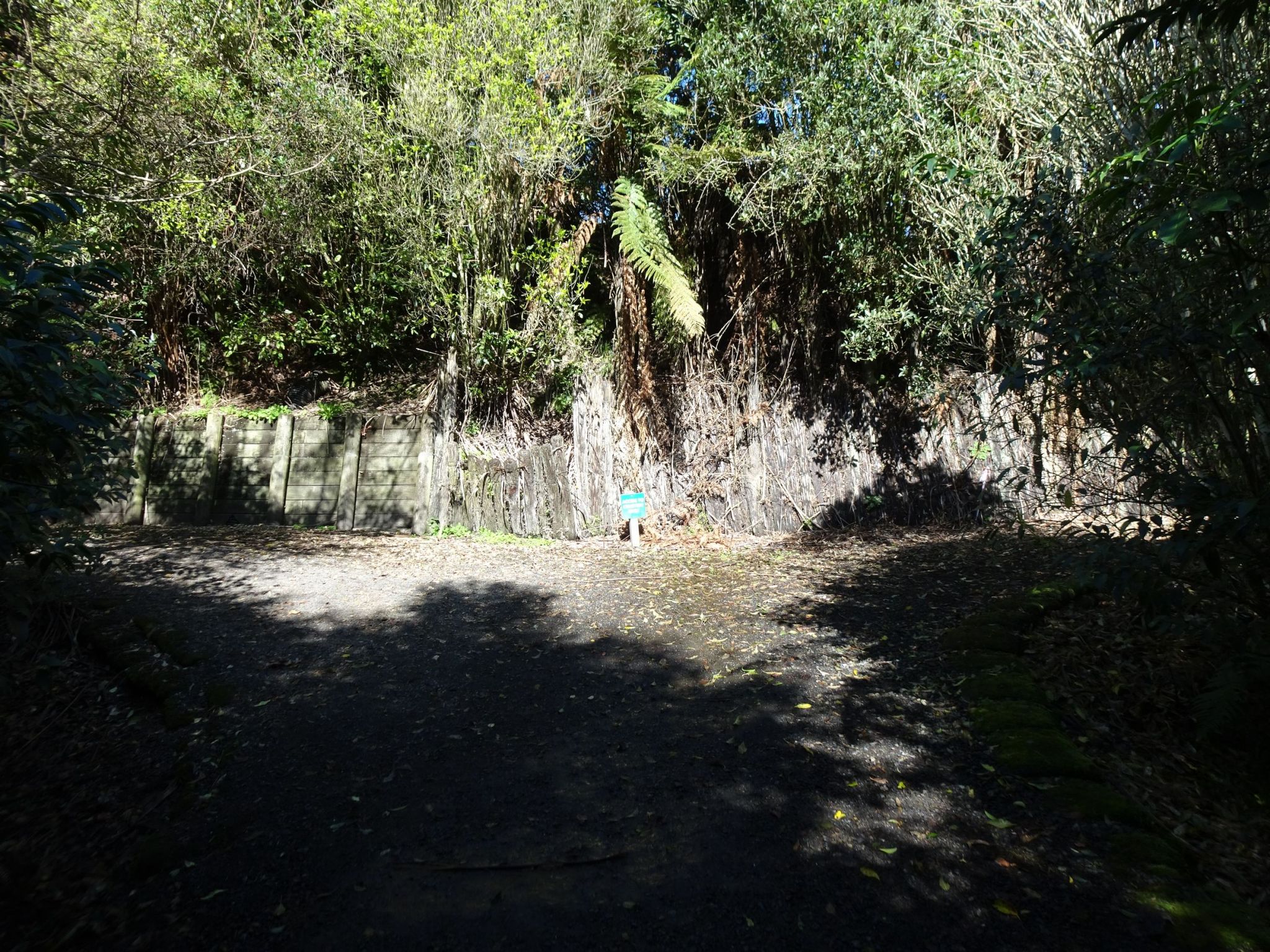
Directly across the stream the track continues to the left to SH26, and to the right to the cemetery.
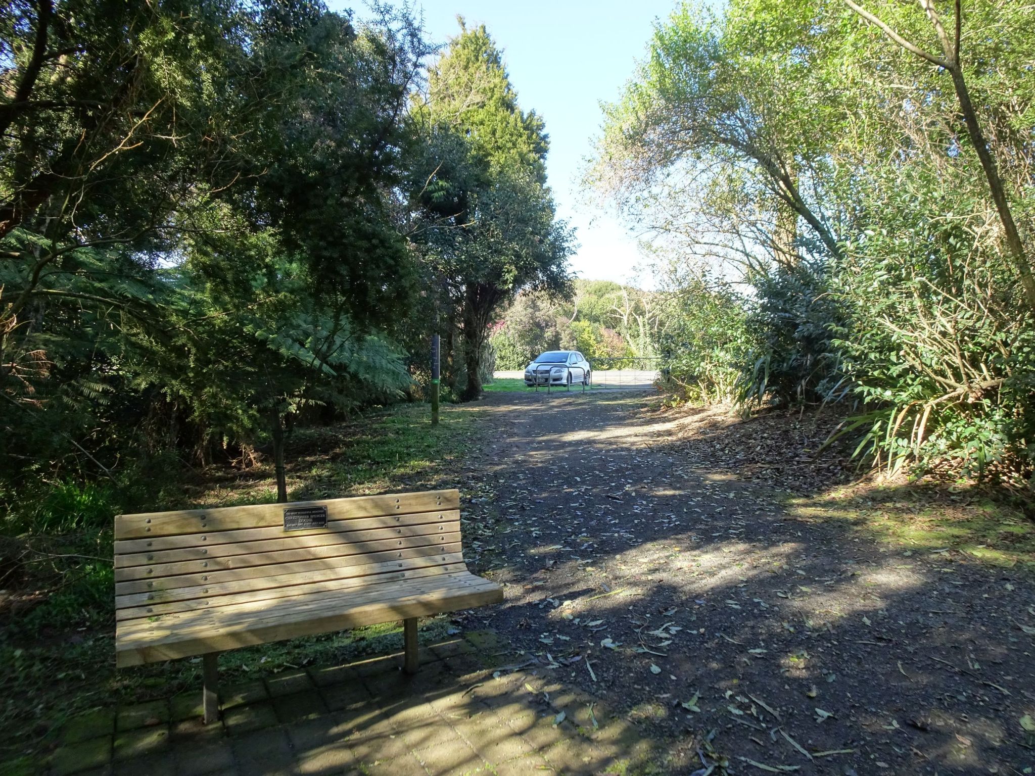
The walkway just before the exit onto SH26.
The walkway entry as seen from SH26. The entry is between the signs and the vehicle.
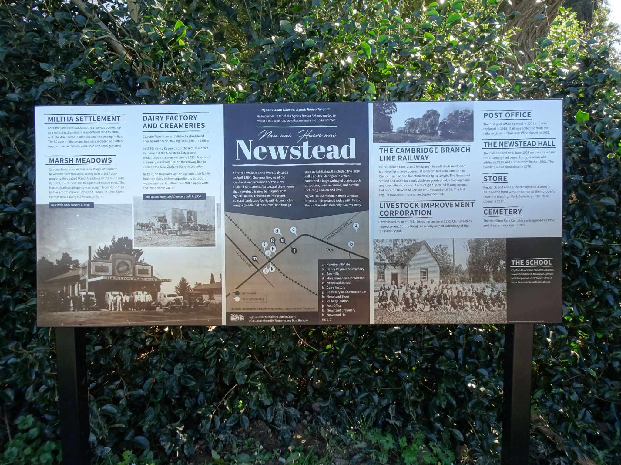
One of the signs by the walkway entry has a short history of the Newstead area. Part of the sign reads: “After the Waikato Land Wars (July 1863 to April 1864), Govenor Grey used the ‘confiscation’ provisions of the New Zealand Settlement Act to steal the whenua that Newstead is now built upon from Ngaati Hauaa. This was an important
cultural landscape for Ngaati Hauaa, rich in rongoa (medicinal resources) and taonga such as kahikatea. It included the large gullies of the Managonua which contained a huge variety of plants, such as tootara, tawa and miro, and birdlife including kaakaa and kiwi. Ngaati Hauaa maintain mana whenua interests in Newstead today with Te iti o Hauaa Marae located only 3-4kms away.”
The exit from the side track to the cemetery.
The entry from the cemetery to the walkway.
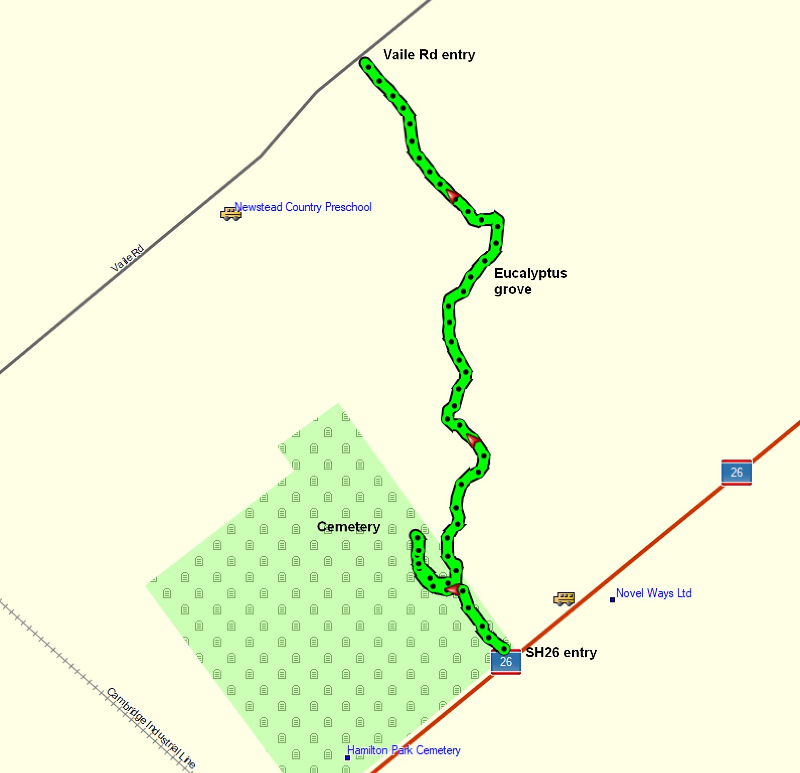
The Newstead Walkway, excluding the side tracks, is about 1.1 km long and took about 15 minutes to walk each way, or about 20 minutes including time for photos. The side track to the cemetery is about 150 metres long.
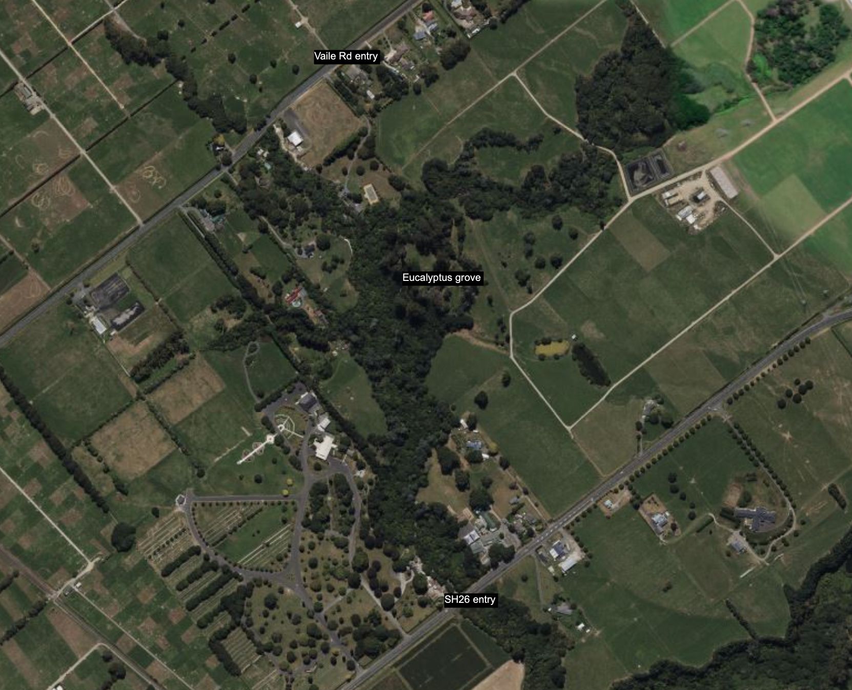
The GPS tracklog shows the route followed, including the side track to the cemetery, and the location of the Eucalyptus grove. The Vaile Rd entry is at or near 126 Vaile Rd, and the SH26 entry is about 100 metres northeast of an entry to Hamilton Park Cemetery.
The aerial photo, from Bing Maps, shows the same area as the tracklog.
The tracks were walked on August 6, 2023.
