Category Archives: Walks

Waiorongomai Valley – Piako County Tramway

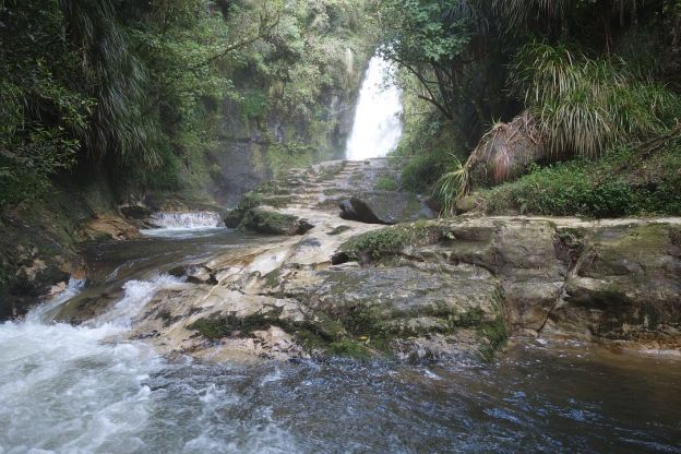
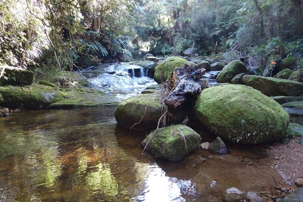
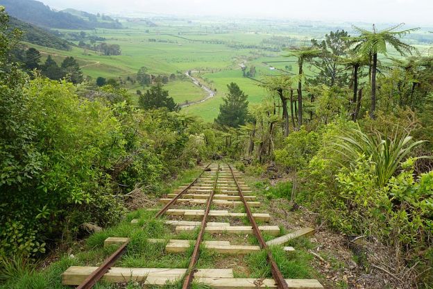
The Piako County Tramway in the Waiorongomai Valley was built and financed by Piako County Council in 1882-1883 to transport ore from the gold mines in the valley to the Firth and Clark Battery at the base of the valley near Waiorongomai Village. The tramway was about 5km long, and consisted of 3 level sections, joined by 3 self-acting inclines. The longest and best preserved of these is Butlers Incline, at 400m long and 25 degree slope.

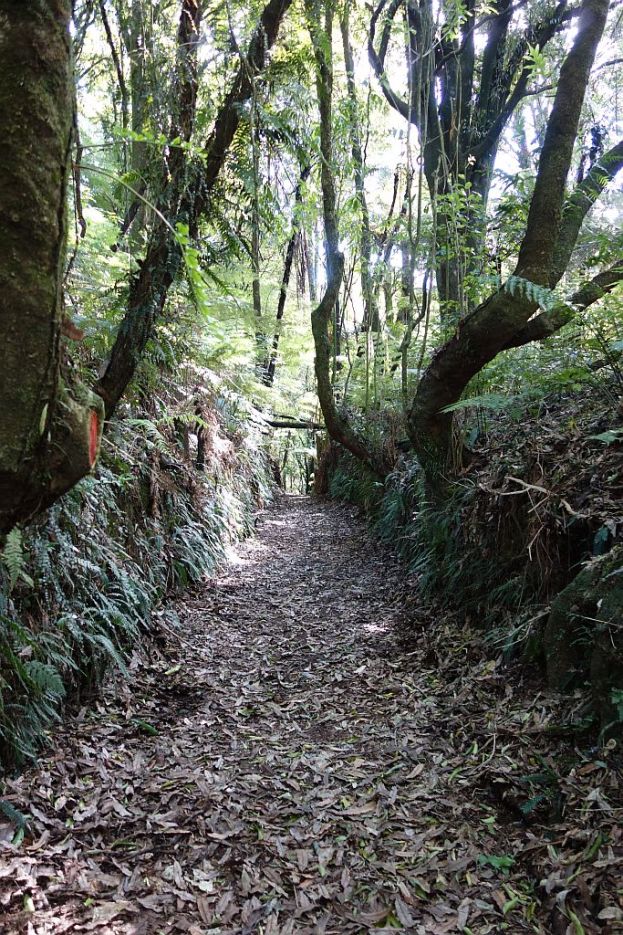
The rails on the lowest incline, Fern Spur Incline, have almost all been removed or stolen. Only two very short sections at the bottom end and at the top end have been reconstruction. There is no track following the exact route of the incline, but the High Level Pack Track does give access to both ends of the incline, and goes through a cutting where the incline passed over the track.

Continue reading

Waiorongomai Valley – Low Level, Water Race, New Era, High Level Pack Tracks

The Waiorongomai Valley, on the south-eastern side of Mt Te Aroha, has some of my favourite walking tracks. There is a combination of easy, well-formed tracks, steeper tracks, and difficult tracks, combined with rail and gold-mining history, regenerating forestry, and expansive views.

The valley is accessible from the carpark at the end of Waiorongomai Rd, off Te Aroha – Gordon Rd, just a few kilometres from Te Aroha township. There are basic toilet facilities near the carpark. The Waiorongomai Village was situated on the flat farmland next to the carpark.

Today’s walk contains a mix of track types. It starts on the Low Level Track, continues on the Water Race Track, climbs up the steep New Era Branch Track, follows the tramline to the Butlers Incline headframe, and then takes the High Level Pack Track back to the carpark.

Continue reading

Waikato River Trail – Waotu to Mangarewa Bridge

Please note: This part of the Waikato River Trails has been permanently closed. Please do NOT try to access this track. Mangarewa Suspension Bridge is still accessible on a 10km long trail from the Waipapa Dam, but the trail from Waotu South Road to the bridge has been permanently closed. The cycle trail now follows a different route from Arapuni Dam to Waipapa Dam. See the Waikato River Trails web site for details.

As the web site mentions in the update dated October 1, 2020:
“The foolish minority have created a situation through ignorance and disrespect that access to parts of the Trail are now denied to the respectful and socially aware majority. The abuse of years of goodwill from the Trails farming neighbour is a sad reflection that it only takes a few people in any section of the community to unravel enjoyment for the masses.”

The Waikato River Trail stretches a total of about 100km from Lake Karapiro in the north to Atiamuri in the south. Parts of the trail are on public roads, but most of it is specially constructed walking and mountain biking track, following the Waikato River. The trail is calculated to take 3 or 4 days to cover the total length on a mountain bike, and somewhat longer by foot. Since several parts of the trail are easily accessible from public roads it is possible to walk most of it as day walks, walking each part in both directions if you don’t have other transport arranged. Continue reading

Mt Maunganui/Mauao

Mt Maunganui/Mauao, or simply “The Mount”, is a 231m high volcanic cone at the end of a narrow peninsula, with Tauranga Harbour on one side and the Pacific Ocean on the other. Mt Maunganui town, on the peninsula, is a suburb of Tauranga.

The mountain is a popular recreational area. The track around the base is well formed and an easy walk with no steep areas. There are two main tracks leading to the summit. One is a 4WD track, and a relatively easy walk, but with slippery small stone chip on the steeper parts. The other is a steeper track with a number of steps. Some of the previously accessible steeper tracks are no longer open, due to slips.

Continue reading

Otanewainuku – Rimu Loop – Whataroa Falls


The tracks to the summit of Otanewainuku and to the Whataroa Falls are accessible from Mountain Rd, off Oropi Rd and No 2 Rd, a few kms south of Tauranga. There is a parking area by the gravel road, with covered picnic tables and toilet facilities by the carpark.

The climb from the carpark to the summit is about 200m, and is signposted as being a 45-minute walk. The track forms a loop, which can be walked either clockwise or anticlockwise. Clockwise gives the gentlest uphill walk, with stepper downhill. The track is well formed and well maintained, with very few steps and steeper areas. There is a lookout tower at the summit, with an almost 36-degree view over the top of the surrounding vegetation. On a day with clear visibility the views are impressive. Continue reading

Wairere Falls

The Wairere Falls track is accessible from the end of Goodwin Rd, off Old Te Aroha Rd. There is a carpark at the end of the road, and the track starts by the carpark.

The track to the falls lookout is a relatively easy walk, with some steps on the way, but the track from the lookout to the top of the falls is quite steep in places. There is a lookout at the top of the falls, but the falls themselves are not visible from this lookout.

The falls are at their most spectacular after heavy rainfall over a longer period of time. During the summer months with little rainfall the stream becomes just a trickle, and not as interesting to visit. Continue reading

Kaiate Falls – Te Rerekawau

Kaiate Falls Scenic Reserve, Te Rerekawau, is only a short distance from Tauranga, accessible from Kaiate Falls Rd. There is a parking area, toilet, and a track map on a short, narrow access road by the bridge over the Waitao Stream. The tracks are well formed, with steps in the steepest places. There may be mud on the tracks, and the rocks can be slippery when wet.

There is a height difference of about 75m between the parking area and the lowest point of the track which follows the stream.

Continue reading

Hakarimata Kauri Loop Walk

The Hakarimata mountain range runs from near Huntly to Ngaruawahia, to the west of the Waikato River. The tracks on the range are accessible from 3 different locations. Parker Rd for the northern end and the Kauri Loop Walk, and the track along the full length of the range. Brownlee Ave for the summit track. And Waingaro Rd for the Rail Trail and the southern section of the walkway.

This walk covers the Kauri Loop track and on to the Southern Lookout. Unfortunately the visibility was rather poor on the day. Continue reading

Jim Barnett Reserve – Waikato River Trail

The Jim Barnett Reserve is located on Waotu South Rd. The Waikato River Trail passes through the reserve. There is a picnic area and a campervan parking area by the entry to the reserve, and a camping area with no vehicle access inside the reserve. There are basic toilet facilities at the picnic area, and within the reserve area.

The walking and cycling tracks are reasonably well marked. All work in the reserve is done by volunteers, so some signs may not be always be kept updated or replaced when damaged. Unfortunately this reserve is no different from other locations where vandals take pleasure in defacing or damaging signs. Continue reading

Henderson Tramline Loop in Kaimai Range

The Henderson Tramline Loop in the Kaimai Range is a short distance south of Tauranga, just off SH29. Unfortunately there are no expansive views from this track, which starts on Old Kaimai Rd, and ends about 1.5km away, also on Old Kaimai Rd. Large parts of the track follow the Henderson Tramline Western Branch and Northern Branch. These tramlines were constructed to transport logs when the forest was milled. None of the rails survive, but there are remains of the tramline sleepers in several places. Continue reading