Author Archives: nzartig

Henderson Tramline Loop in Kaimai Range

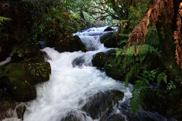
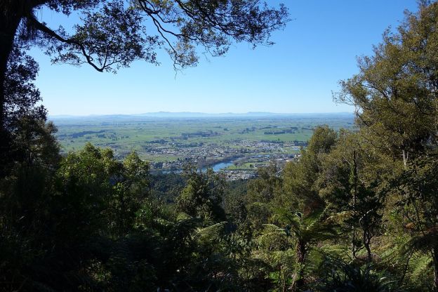
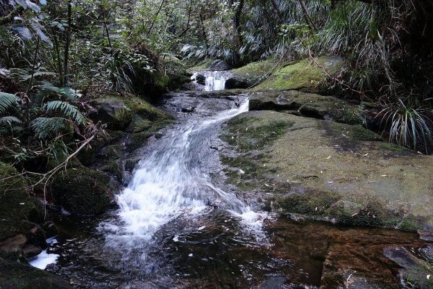
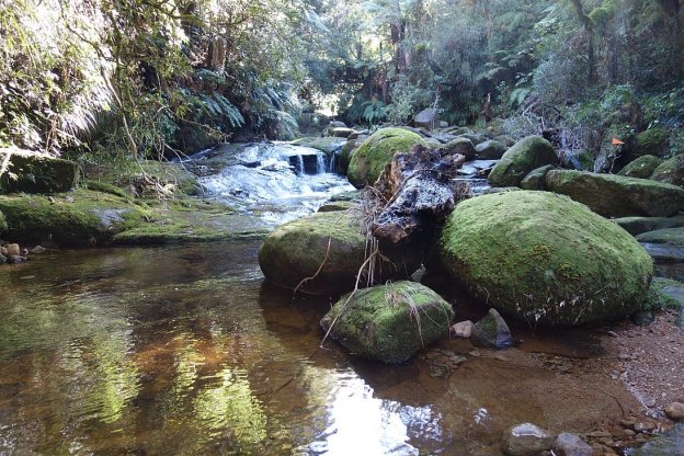
The Henderson Tramline Loop in the Kaimai Range is a short distance south of Tauranga, just off SH29. Unfortunately there are no expansive views from this track, which starts on Old Kaimai Rd, and ends about 1.5km away, also on Old Kaimai Rd. Large parts of the track follow the Henderson Tramline Western Branch and Northern Branch. These tramlines were constructed to transport logs when the forest was milled. None of the rails survive, but there are remains of the tramline sleepers in several places. Continue reading

Te Waihou Walkway and Blue Spring

Te Waihou walkway follows the Waihou River between SH28/Whites Rd and Leslie Rd, near Putaruru. There are parking areas at both ends. The walkway is about 5km long, and is an easy walk with only a few steps along the way. Part of the walkway crosses farmland where there may be cattle or sheep grazing.

About halfway along the walkway splits in two, with bridges crossing the river at each end of an alternative track of about 500m. There are toilets about halfway along the walkway and near the Whites Rd end.

The river contains trout, and it’s not unusual to see people fishing for these. With very clear water it’s also possible to see the fish clearly. Continue reading

Hakarimata Summit Track

The Hakarimata Summit Track is one of the busiest tracks that I have walked. There was a constant stream of walkers, runners, and trampers going up and down the track. It was a fine and clear Sunday, which probably added to the popularity.

The track consists mainly of steps, 1349 steps in all. The summit is at 374m, with a climb of 335m to the viewing tower at the summit. The climb took almost 90 minutes, the return downhill took just over 30 minutes.

On a clear day, like today, you can see Mt Ruapehu south of Lake Taupo, a total distance of 182km away. Continue reading

Waikato River Trails – Jones Landing to Arapuni

The Waikato River Trail is currently about 100km long, stretching from Horahora Rd in the north, to Atiamuri in the south. It is shared by walkers and mountain bikers. A short stretch is a public road, and only suitable for bikers.

The track between Jones Landing and Arapuni consists of two parts – the track from Jones Landing to the Arapuni Dam, and the track from Arapuni Dam to the swingbridge and Arapuni Village. The first part has a number of steps, steep dropoffs, and is most suitable for walkers and experienced mountainbikers. The track is well formed. About 2.5km long, with a side track to a viewing area about halfway. Walking time about 1 hour, including time at the viewing area. Continue reading

Welcome to Moto Walk NZ

Welcome to an occasional blog about walking and hiking tracks, mainly in the Bay of Plenty, Waikato, and Coromandel regions of New Zealand. I had been exploring backroads on motorbikes for a number of years, before starting to do day walks of up to about 5 to 6 hours duration, mainly on DoC tracks. Motorbike riding days are more or less over now.

This blog will describe the tracks walked, their difficulty level, distance walked, time taken, facilities available, and will include some photos from the walks. Many of the walks also have a description on the DoC or other web site, and links to these descriptions will be posted. Clicking on a photo in a blog post will usually display a full-size version of the photo. Click on the back button to return to the post.

A directory of walks classified by general area can be found here.