Tag Archives: Waikato

Waireinga/Bridal Veil Falls, Raglan

Waireinga/Bridal Veil Falls is a 55-metre high, spectacular waterfall in the Raglan area of Waikato. The falls are well signposted and accessible from SH23, along Te Mata Road and continuing about 4 km along Kawhia Road. There is a parking area alongside Kawhia Road, and a wide track with an easy gradient leads from the parking area, past DoC toilets and a picnic area, to the top of the falls. At the top of the falls there are two viewing platforms, one looking straight down the waterfall and the other looking across to the whole waterfall.

The easy track to the top of the waterfalls is about 500 metres long, and follows the Pakoka River through native forest. The track from the top to the bottom of the falls is steep, with 261 formed steps. About halfway down there is another viewing platform, and at the bottom there is a bridge across Pakoka River with direct views of the falls, and a shelter with information panels. Information about the falls can be found on the DoC web site. Dogs are not allowed at the falls, and the water is not suitable for swimming.

Continue reading

Hapuakohe Walkway – Ohinewai Rd to Maungakawa Trig

Hapuakohe Walkway in the Waikato consists of two parts. The northern part connects North Road (off SH27) and Ohinewai Road (also off SH27) along Hapuakohe Range. The southern part connects Ohinewai Road and Mangapiko Valley Road, passing by Maungakawa trig station on the way. The northern part is signposted as an 8-hour walk, with the southern a 6-hour walk. Information about the track can be found on the DoC web site. The walkway is west of SH27, about 50 km north-east of Hamilton and 65 km south-east of Auckland.

This post describes only the portion of the southern part of the walkway between Ohinewai Road and Maungakawa Trig.

Continue reading

Taupiri Mountain Summit

Taupiri Mountain (Taupiri Maunga), at the southern end of the Taupiri Range, is located adjacent to State Highway 1 between Huntly and Ngaruawahia. Taupiri Mountain is sacred to the Waikato people and its lower flanks are used as burial grounds. Amongst others Maori royalty are buried there. A loop track leads to the summit from an access road near Mangawara Stream.

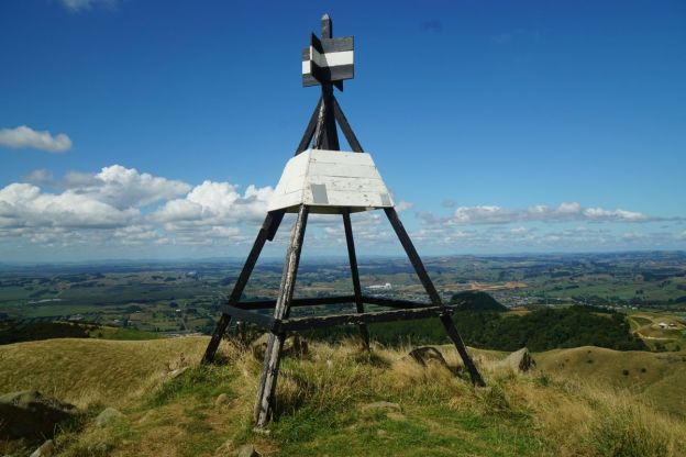
The loop track was reopened in 1995 after work on the track was done by local residents and members of Taupiri Young Farmers Club. The summit of Taupiri Mountain has a trig station at an elevation of 288 metres.

Continue reading

Mt William Walkway

The Mount William Walkway is located on the southern flanks of the Bombay Hills, at the northern edge of the Waikato district. The walkway connects Puketutu Rd south of Bombay, and McMillan Rd, Mangatawhiri, with most of the walk being through open farmland. A short, but fairly steep, part of the track passes through regenerating native bush in the Mount William Scenic Reserve, between McMillan Rd and Mt William trig station. Since the walkway passes through sheep farms it may be closed during the lambing season between August 1 and October 1, and dogs are not permitted at any time.

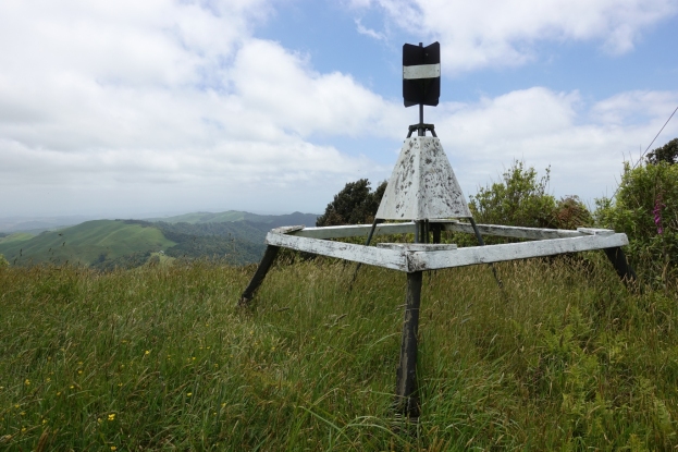
The walkway also gives access to Puketutu trig, on a peak which at 376 metres is slightly higher than Mt William at 373 metres. Puketutu peak is a few metres higher, at 379 metres. There are car parking areas both at the end of Puketutu Rd and the end of McMillan Rd, and toilets about 10 minutes walk from McMillan Rd where the track enters the Mount William Scenic Reserve. Information about the walkway can be found on the DoC web site.

Continue reading