Author Archives: nzartig

Okataina Western Walkway – SH30 to Patotara

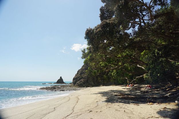
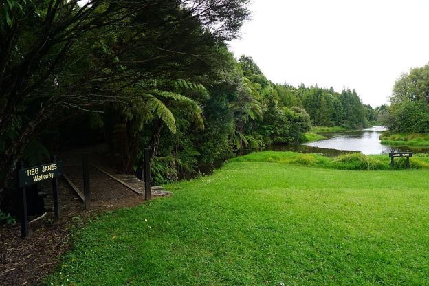
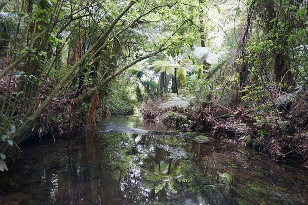
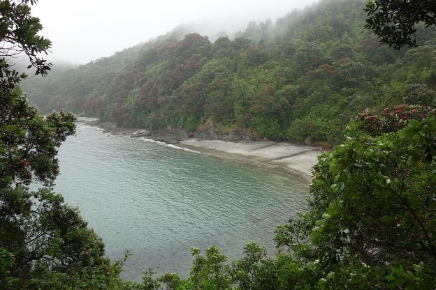
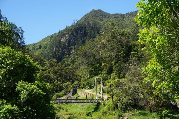
The Okataina Western Walkway track runs between SH30 at Ngapuka Bay on Lake Rotoiti to Millar Rd near Lake Okareka. In total about a 7-hour walk according to the DoC site. The northern end from SH30 to Lake Okataina is a walking track only. The remainder of the track is both a walking and mountain biking track. Supposedly the longest mountain biking track in the Rotorua area at 19.1km.

This post covers the northern end of the walkway, from SH30 to the Patotara exit point, a distance of about 4 km.

Continue reading

Kohi Point Walkway – Ohope – Whakatane

After the walk on the Kohi Point Walkway from Whakatane to Ohope in drizzly weather with low cloud it was necessary to do the same walk on a fine day. But this time it was in the opposite direction, from Ohope to Whakatane. And this time with a detour to Otarawairere village. Since the original post described most of the features, this one will be mainly photos with short descriptions.

Continue reading

Kakepuku

Kakepuku is the sacred mountain of the Iwi, hapu and whanau of Ngati Maniapoto. It is situated about 10km south-west of Te Awamutu. The track to the summit of the mountain is accessible from Kakepuku Rd, where there is a parking area, with toilet facilites nearby.

The track to the summit is maintained by DoC, and there is a short description of the track at on the DoC web site. The total distance from the carpark and back is about 7.5 km, and there is a total climb of about 400m, starting about 50 m asl, and with the summit at 449 m.

Continue reading

I’Anson Reserve

The I’Anson Reserve or I’Anson Bush Reserve is on a parcel of land gifted to the QEII National Trust in 1987 by K & T I’Anson. Over the years it has been turned from pasture to native bush and a small lake – Lake Taki – has been formed by damming the Waikaraka Stream. Planting has been done by Tauranga Forest & Bird, and the reserve is managed by the Western Bay Of Plenty District Council.

Continue reading

Puketoki Reserve

Puketoki Reserve is only a short distance from Tauranga, accessible from Leyland Rd, off Whakamarama Rd. The reserve consists of 85 acres of bush, donated to the Whakamarama Community by Mr Henry H Sharplin of the Whakamarama Land and Timber Company in 1926. Before that time it was milled, so the only old surviving trees would be those not suitable for timber at that time. Tramways for transporting logs passed through the reserve, and in a few places the location of the tramways can still be seen. Continue reading

Hamurana Springs

Hamurana Springs, at the northern shores of Lake Rotorua, consists of several springs producing a constant flow of cool, clear water which forms the Hamurana Stream and flowing directly into Lake Rotorua. There is a very easy and short walkway around the springs in the Hamurana Springs Reserve, which is jointly managed by DoC, Ngati Rangiwewehi, the Hamurana Golf Club, and a local community group. The golf course is next to the reserve, alongside Hamurana Rd.

There is a parking area off Hamurana Rd, giving access to the walkway. There are no toilet facilites at the carpark or in the reserve. More information can be found on the DoC web site.

Continue reading

Kohi Point Walkway – Whakatane – Ohope


The Kohi Point Walkway connects Whakatane and Ohope, around the headland of Kohi Point, and Otarawairere Bay, passing several pa sites along the way. Total distance just over 7km, and a height difference from sea level to the Kohi Point lookout at 183m above sea level.

Unfortunately there was a gentle drizzle for most of the walk, with low cloud obscuring any views from heights above about 75m asl. But it was a good way to spend a few hours while waiting for a lawnmower to be serviced.

Continue reading

Mt Karangahake summit

Mt Karangahake towers above the western end of Karangahake Gorge, between Waihi and Paeroa. It is clearly visible from SH2, the main road through the gorge. The most prominent peak has a trig station on top, with an official elevation of 544m above sea level. The highest point is a few metres higher, but not easily accessible. However, a nearby peak with a communication mast on top is accessible, and is slightly higher than the trig station.

There are 3 tracks leading to the summit, all of which are accessible from the main carpark on SH2, or from the nearby carpark on County Rd, or from Crown Hill Rd where there is a small parking area near a locked gate. There are toilet facilities both at the main carpark, and by the County Rd carpark. County Rd is accessible from SH2 across a one-lane, two-level bridge, originally used for both rail and road, with the railway above the roadway.

Continue reading

The Motu Road – Eastern Bay of Plenty

This ride report was originally posted on another web site, and on that site which is no longer available it was one of the most often read and linked to. It consists of two midsummer rides, on December 14 and December 28, 2008. So almost 8 years ago. It must be time to go back soon and check if much has changed in the meantime. Clicking on the photos will display them in a larger size.

———-

Motu Road, or “The Motu”, is widely known from its days as one of the longest and most difficult stages in the Rally of New Zealand. The rally was included in the World Rally Championship calendar, so many famous rally drivers have driven this road, including the late Colin McRae whose superiority on this stage helped him win the August, 1993 Rally of New Zealand. The first world championship win for both McRae and Subaru.

Continue reading

Waiorongomai Valley – High Level Pack and Cadman Tracks, Buck Rock, Low Level Drive

One option when returning to the carpark on Waiorongomai Rd from the upper end of the Piako County Tramway is the High Level Pack Track to the head of Butlers Incline, then the Cadman (or Buck Rock or Ruby’s) Track down to rejoin the High Level Pack Track, and the Low Level Drive. From Cadman Track there is a short but steep and rough climb to the pinnacle of Buck Rock. The total distance is about 7 km.

Continue reading